Wichita River
Wichita River
- Boat Ramps
- 7
- Access Points
- 8
- Campsites
- 0
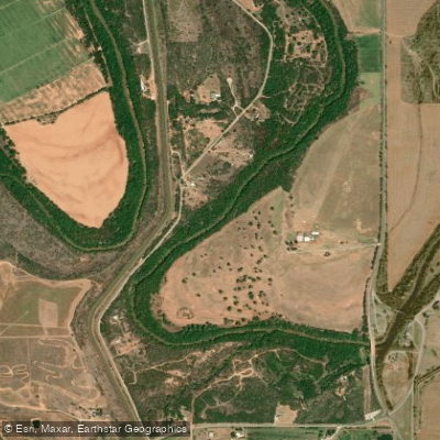
The Wichita River is a major waterway in north-central Texas and southwestern Oklahoma, flowing generally eastward for approximately 203 miles. Originating in eastern Haskell County, Texas, the river meanders through the rolling plains before joining the Red River near Charlie, Texas. Its primary tributaries include the North Wichita River and South Wichita River, which converge near the Texas-Oklahoma border.
Paddling opportunities on the Wichita River are limited but rewarding for those seeking a less-traveled waterway. The most accessible section for recreational paddling is found in Wichita Falls, Texas, where a 4.37-mile stretch of the river is paralleled by the Circle Trail. This urban paddling experience offers a unique perspective of the city and its parklands. The river's flow is generally calm in this section, making it suitable for beginners and families.
The overall difficulty of paddling the Wichita River ranges from flatwater to Class I, with occasional Class II rapids during high water events. Skill requirements are generally low to moderate, but paddlers should be prepared for potential logjams and shallow areas, especially in drier months.
Seasonal patterns greatly affect paddling conditions on the Wichita River. Spring and early summer typically offer the best water levels, while late summer and fall can see significantly reduced flow. Paddlers should check water levels and weather forecasts before planning their trips.
The river corridor supports a diverse ecosystem, with cottonwood and willow trees lining the banks. Wildlife observers may spot white-tailed deer, wild turkeys, and various bird species. The river is also home to several fish species, including catfish and bass, making it a popular destination for anglers.
Key landmarks along the Wichita River include Lucy Park and Williams Park in Wichita Falls, which serve as put-in and take-out points for the urban paddling section. The iconic Wichita Falls, for which the city is named, is no longer a natural feature but is commemorated by an artificial waterfall near the river.
Access points are limited, with the most developed being in Wichita Falls. Other potential access points may exist near bridges, but paddlers should verify legal access and parking options.
Historically, the Wichita River played a crucial role in the development of north Texas, supporting agriculture and early settlements. Today, it continues to be an important water source for the region and a focal point for recreation and conservation efforts.
Safety considerations include checking water levels, being aware of potential logjams, and watching for urban hazards in the Wichita Falls section. Paddlers should also be mindful of private property along the banks and respect local regulations.
While multi-day trips are not common on the Wichita River due to limited access points and variable water levels, dedicated paddlers could potentially plan extended journeys with careful preparation and local knowledge.
Water access, boat ramps & amenities
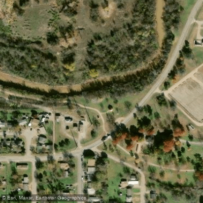
Learn how to get on Wichita River. Uncover great paddling access points, boat ramps, and all the facilities you need for an unforgettable day on the water. Some locations shown may border or include private property. Always check property boundaries and applicable regulations before visiting. PaddleWays's Public & Private Land layer can help you plan your access with confidence.
Paddle smarter with real-time insights
Whether you're en route and conditions shift or you're looking for the best spot based on current flows, we enable you to make informed decisions on the fly.








Find Places to Paddle

Over 400,000 Places to Paddle
Every user gets free access to launch points, boat ramps, and public property parcels.


Water and weather conditions (10 day forecast)
See the best times to paddle Wichita River and check the forecast before you go.
Wichita Rv nr Seymour, TX
All Flow Stations
Paddling near Wichita River

Red River
Waurika Lake
West Fork Trinity River

Brazos River
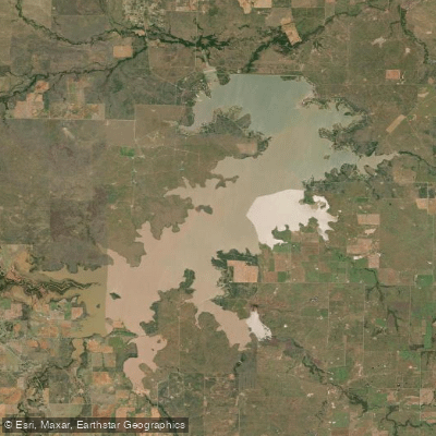
Lake Arrowhead
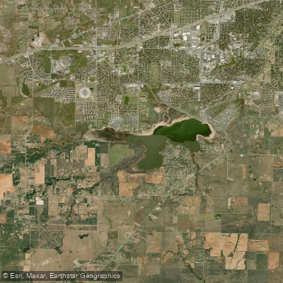
Lake Wichita
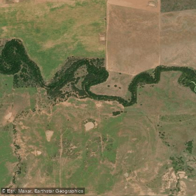
Little Wichita River
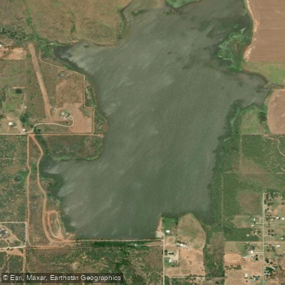
Lake Iowa Park
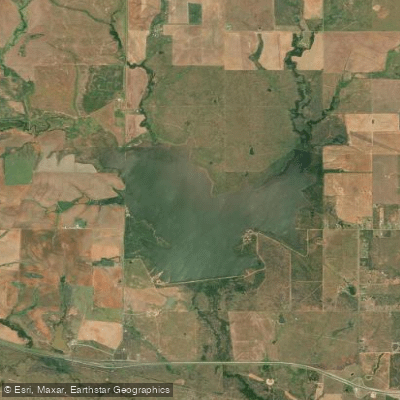
North Fork Buffalo Creek Reservoir
Explore Oklahoma waters
Top paddling waters
Popular Cities
Loading popular cities...
Explore near Wichita River
Access points
Nearby waters
More in Oklahoma

Smarter Paddling Starts in the App.
Paddleways gives you everything you need to plan smarter, paddle better, and own every trip from first launch to takeout.