North Fork Buffalo Creek Reservoir
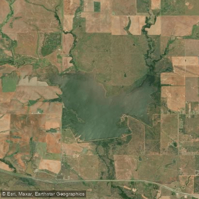
North Fork Buffalo Creek Reservoir
- Boat Ramps
- 1
- Access Points
- 1
- Campsites
- 0
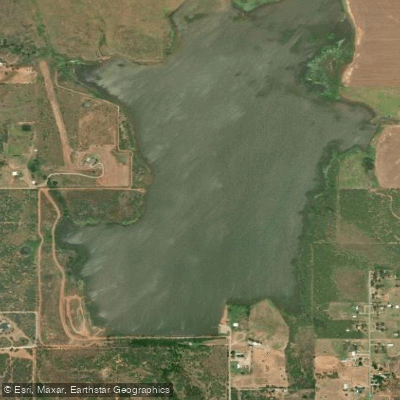
North Fork Buffalo Creek Reservoir is located 4 miles northwest of Iowa Park in west central Wichita County, Texas. The reservoir was created in 1964 by damming the North Fork of Buffalo Creek, a tributary of the Red River. At normal levels, the lake has a surface area of 1,500 acres and a capacity of 15,400 acre-feet. The reservoir expands to 1,730 acres and 19,000 acre-feet at the emergency spillway level.
The lake is owned and operated by the Wichita County Water Control and Improvement District #3 for municipal water supply and recreational use. While specific paddling regulations aren't posted, the lake's recreational designation suggests paddling is likely permitted.
The earthen dam is 4,645 feet long with a maximum height of 47 feet. The top of the dam sits at an elevation of 1,058 feet above sea level. An uncontrolled emergency spillway is located near the left end of the dam.
The reservoir's relatively small size of 1,500 acres makes it suitable for day trips. Its location in the Red River basin offers opportunities to observe local wildlife and vegetation. As a municipal water supply for Iowa Park, the water quality is likely monitored and maintained.
Paddlers should note that the lake level can fluctuate between the normal pool elevation of 1,048 feet and the emergency spillway level of 1,050 feet above sea level. This may affect shoreline conditions and water depth in some areas.
Before planning a trip to North Fork Buffalo Creek Reservoir, it's best to check with local authorities for current conditions, regulations, and recommended put-in locations. The lake's features and conditions can change, so getting up-to-date local knowledge is always a good idea.
Water access, boat ramps & amenities
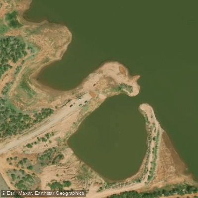
Learn how to get on North Fork Buffalo Creek Reservoir. Uncover great paddling access points, boat ramps, and all the facilities you need for an unforgettable day on the water. Some locations shown may border or include private property. Always check property boundaries and applicable regulations before visiting. PaddleWays's Public & Private Land layer can help you plan your access with confidence.
Paddle smarter with real-time insights
Whether you're en route and conditions shift or you're looking for the best spot based on current flows, we enable you to make informed decisions on the fly.








Find Places to Paddle

Over 400,000 Places to Paddle
Every user gets free access to launch points, boat ramps, and public property parcels.


Water and weather conditions (10 day forecast)
See the best times to paddle North Fork Buffalo Creek Reservoir and check the forecast before you go.
No forecast data available.
Paddling near North Fork Buffalo Creek Reservoir

Red River
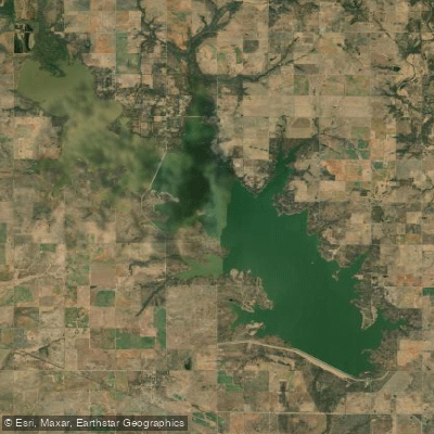
Waurika Lake
West Fork Trinity River

Brazos River
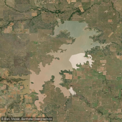
Lake Arrowhead
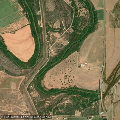
Wichita River
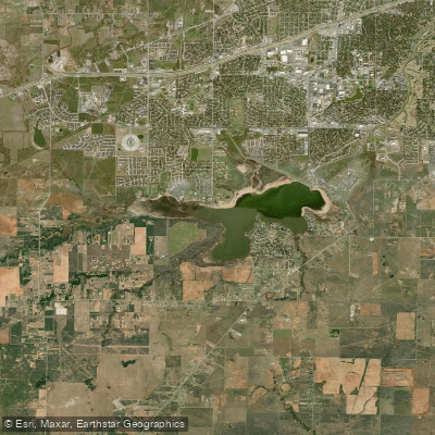
Lake Wichita
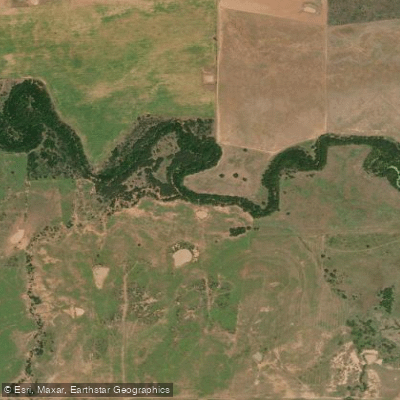
Little Wichita River
Lake Iowa Park
Explore Texas waters
Top paddling waters
Popular Cities
Loading popular cities...
Explore near North Fork Buffalo Creek Reservoir

Smarter Paddling Starts in the App.
Paddleways gives you everything you need to plan smarter, paddle better, and own every trip from first launch to takeout.