Lake Wichita
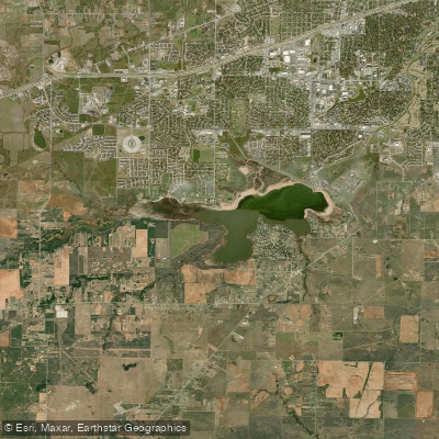
Lake Wichita
- Boat Ramps
- 3
- Access Points
- 3
- Campsites
- 0
Lake Wichita is a 1,224-acre reservoir located just 12 minutes south of downtown Wichita Falls, Texas. The lake offers two main access points for paddlers. A boat ramp by the spillway provides a more remote put-in option, while Lake Wichita Park on the northern shore offers a more developed access area with amenities like sports grounds and paved trails.
Paddlers should be aware that the water quality in Lake Wichita is not ideal for swimming, with somewhat murky conditions reported. However, the lake does support a variety of fish species, including largemouth bass, channel catfish, and white crappie, which have rebounded since a 2013 drought.
A unique feature for paddlers is the 15-mile paved trail connecting the lake to downtown Wichita Falls via Weeks Park and Lucy Park. This trail offers opportunities to combine paddling with cycling or hiking adventures.
Lake Wichita Park provides facilities like picnic areas and disk golf courses, making it suitable for family outings. The park's paved trails also allow for easy shoreline access and scenic views while paddling.
While not considered a premier recreational lake, Lake Wichita's proximity to the city and its role in the local community make it a convenient option for urban paddlers. The lake's character is more suited to casual paddling and fishing trips rather than extended adventures.
Paddlers interested in kayaking instruction can take advantage of classes offered by local outfitters, who use Lake Wichita as one of their "classrooms" during the spring through fall seasons.
Water access, boat ramps & amenities
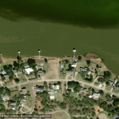
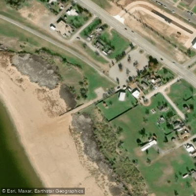
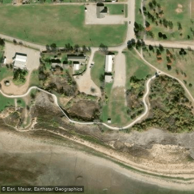
Learn how to get on Lake Wichita. Uncover great paddling access points, boat ramps, and all the facilities you need for an unforgettable day on the water. Some locations shown may border or include private property. Always check property boundaries and applicable regulations before visiting. PaddleWays's Public & Private Land layer can help you plan your access with confidence.
Paddle smarter with real-time insights
Whether you're en route and conditions shift or you're looking for the best spot based on current flows, we enable you to make informed decisions on the fly.








Find Places to Paddle

Over 400,000 Places to Paddle
Every user gets free access to launch points, boat ramps, and public property parcels.


Water and weather conditions (10 day forecast)
See the best times to paddle Lake Wichita and check the forecast before you go.
No forecast data available.
Paddling near Lake Wichita

Red River
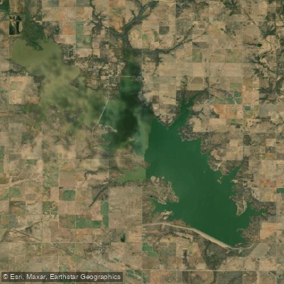
Waurika Lake
West Fork Trinity River

Brazos River
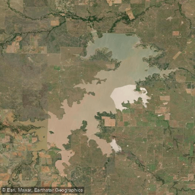
Lake Arrowhead
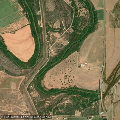
Wichita River
Little Wichita River
Lake Iowa Park
North Fork Buffalo Creek Reservoir
Explore Texas waters
Top paddling waters
Popular Cities
Loading popular cities...
Explore near Lake Wichita
Access points
Nearby waters
More in Texas

Smarter Paddling Starts in the App.
Paddleways gives you everything you need to plan smarter, paddle better, and own every trip from first launch to takeout.