Lake Billy Chinook
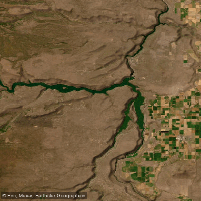
Lake Billy Chinook
- Boat Ramps
- 5
- Access Points
- 5
- Campsites
- 3
Lake Billy Chinook offers a unique paddling experience in central Oregon. The lake spans 4,000 acres with 72 miles of shoreline, formed by the confluence of three rivers - the Deschutes, Crooked, and Metolius. Sheer canyon walls rise 200 to 700 feet above the water, creating a dramatic backdrop. The average depth is over 100 feet, with some areas reaching 400 feet deep.
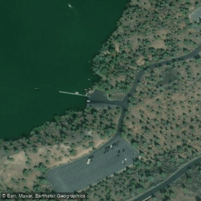
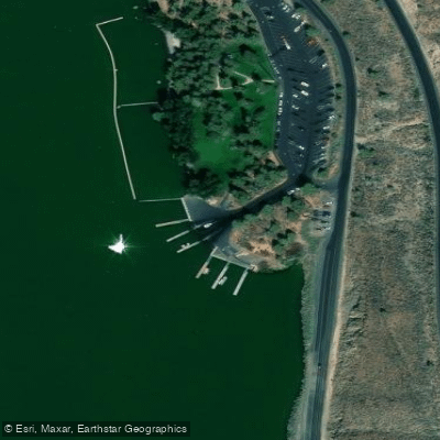
Access is available via three day-use areas: Lower Deschutes, Upper Deschutes, and Crooked River. Each has a boat ramp, dock, and beach. The Crooked River area features an ADA-accessible kayak launch.
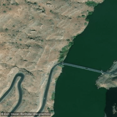
Paddlers can explore the lake's distinct "fingers" formed by the three river arms. The Crooked River arm offers a 6-mile water trail suitable for all skill levels. More experienced paddlers may venture to the 2-mile stretch south of the bridge, which sees less motorized traffic.
Summer is the busiest season, with crowds and choppy conditions from motorized boats. For calmer waters and fewer people, visit in spring or fall. Mornings typically offer glassy conditions ideal for paddling. Water temperatures reach the high 60s°F in summer.
Wildlife viewing opportunities include osprey, eagles, and various waterfowl. Fishing is popular, with bull trout, bass, and kokanee salmon inhabiting the lake. Be aware that the Metolius arm has a limited fishing season and requires a tribal permit.
The Cove Palisades State Park surrounds much of the lake, offering camping, hiking trails, and interpretive programs. Guided kayak tours are available in spring and fall, providing insight into the area's geology, history, and ecology.
Paddlers should be aware of potential high winds and boat traffic, especially during peak summer months. There is no cell phone service on the lake, so come prepared with safety equipment and let others know your plans.
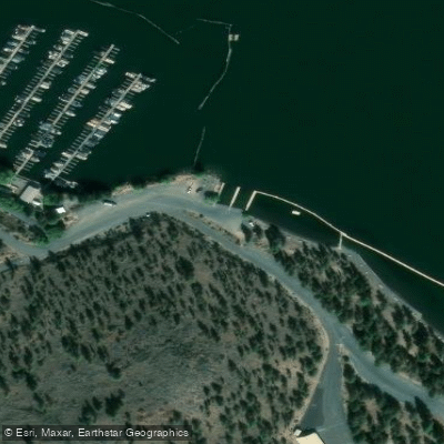
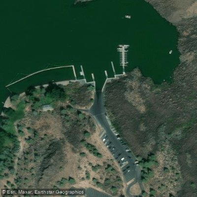
Water access, boat ramps & amenities
Learn how to get on Lake Billy Chinook. Uncover great paddling access points, boat ramps, and all the facilities you need for an unforgettable day on the water. Some locations shown may border or include private property. Always check property boundaries and applicable regulations before visiting. PaddleWays's Public & Private Land layer can help you plan your access with confidence.
Paddle smarter with real-time insights
Whether you're en route and conditions shift or you're looking for the best spot based on current flows, we enable you to make informed decisions on the fly.








Find Places to Paddle

Over 400,000 Places to Paddle
Every user gets free access to launch points, boat ramps, and public property parcels.


Water and weather conditions (10 day forecast)
See the best times to paddle Lake Billy Chinook and check the forecast before you go.
DESCHUTES RIVER NEAR CULVER, OR
All Flow Stations
Paddling near Lake Billy Chinook
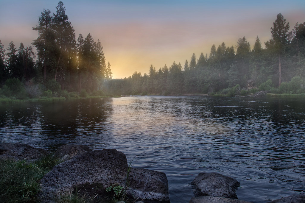
Deschutes River
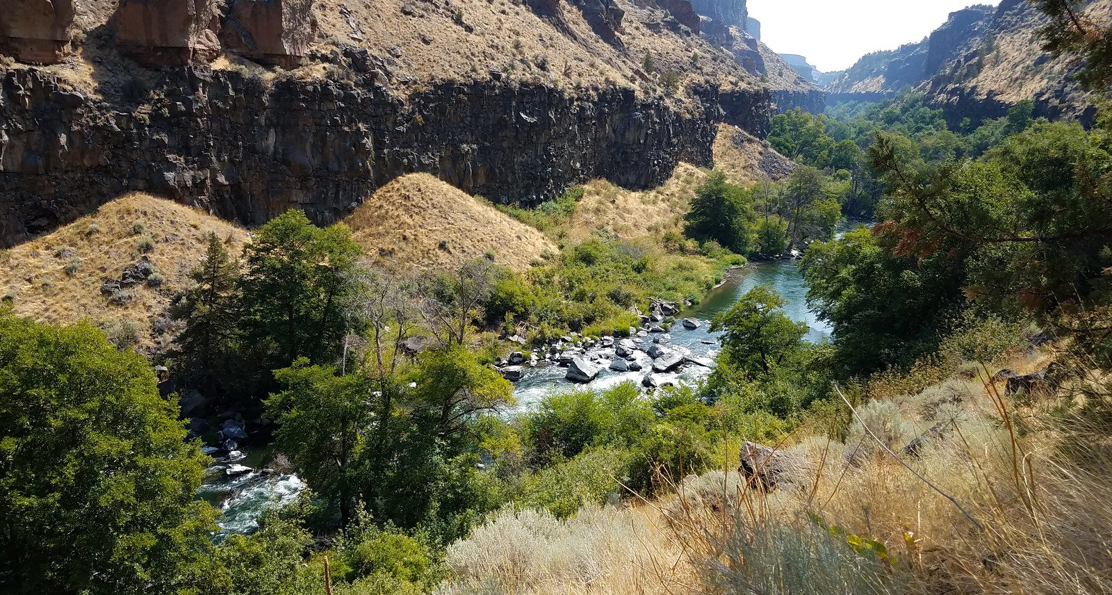
Crooked River
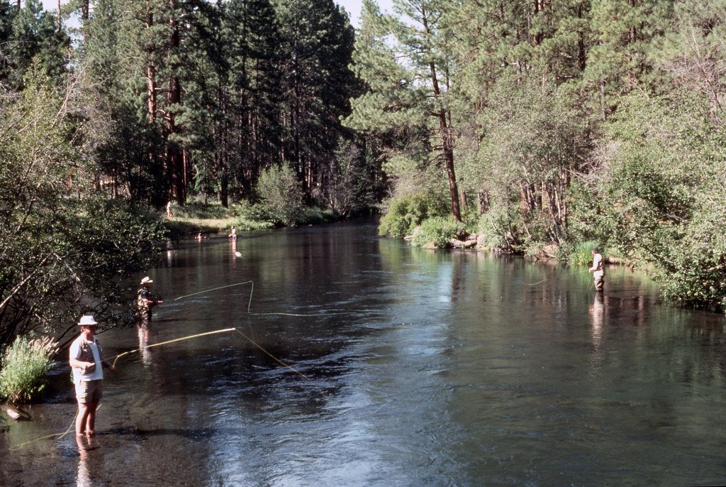
Metolius River
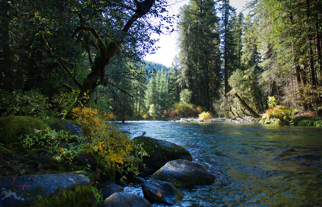
McKenzie River
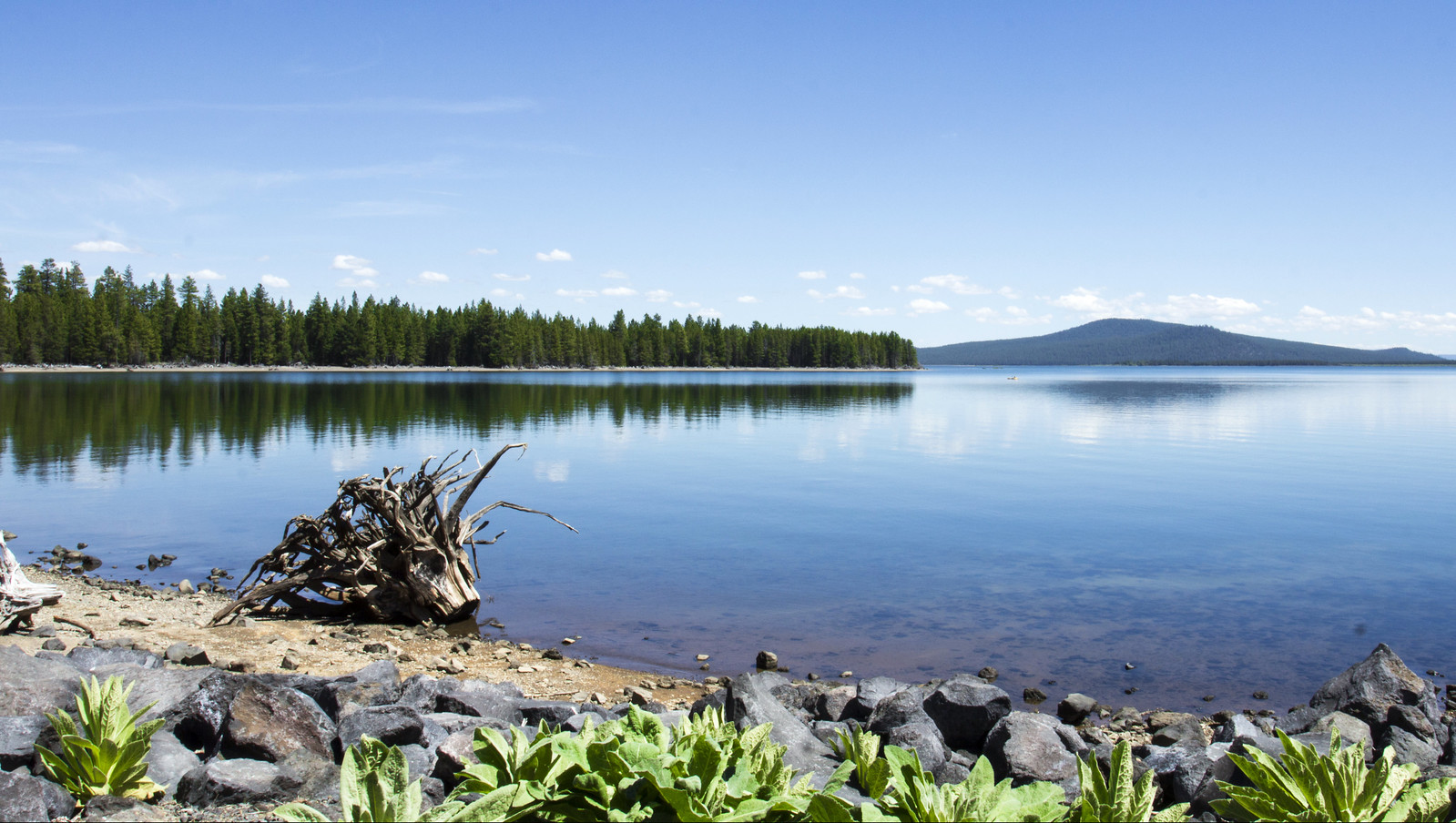
Wickiup Reservoir
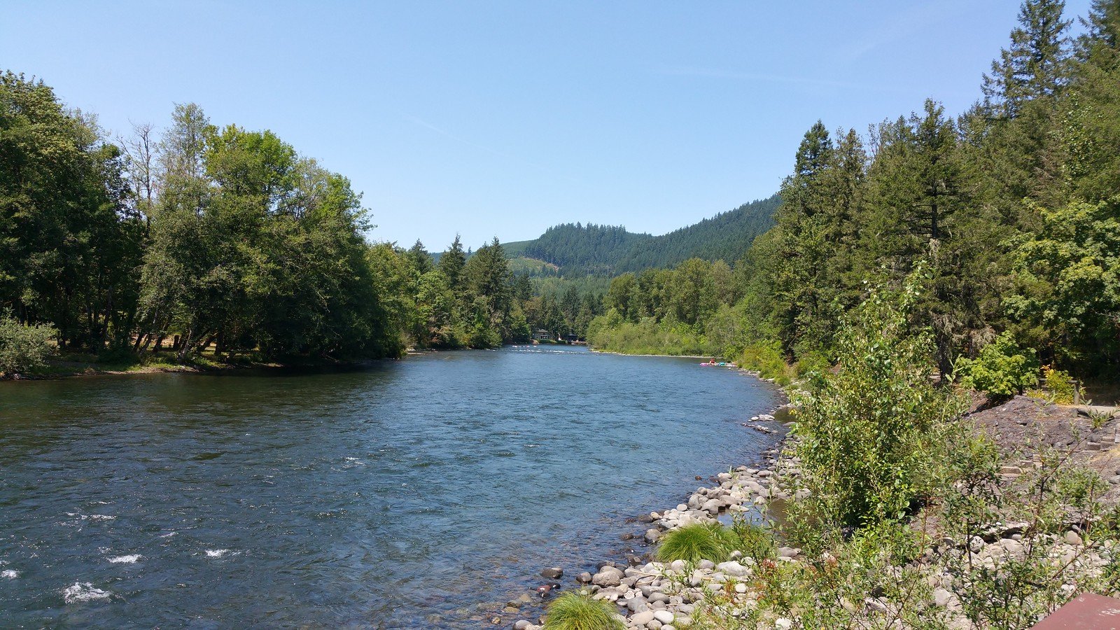
North Santiam River
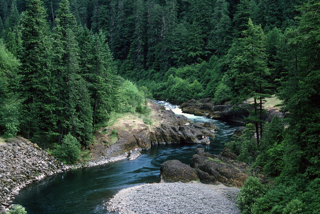
Clackamas River
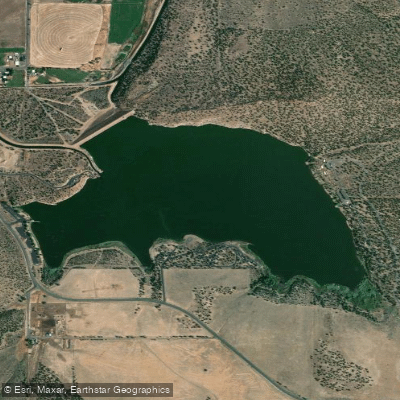
Haystack Reservoir
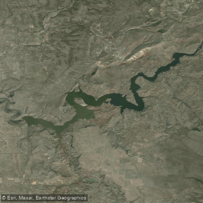
Prineville Reservoir
Explore Oregon waters
Top paddling waters
Popular Cities
Loading popular cities...
Explore near Lake Billy Chinook
Access points
Nearby waters
More in Oregon

Smarter Paddling Starts in the App.
Paddleways gives you everything you need to plan smarter, paddle better, and own every trip from first launch to takeout.