John C Boyle Reservoir
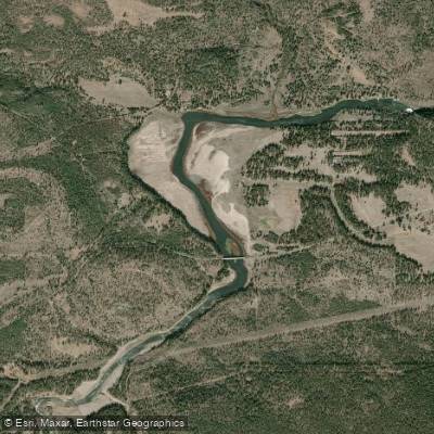
John C Boyle Reservoir
- Boat Ramps
- 2
- Access Points
- 2
- Campsites
- 3
John C. Boyle Reservoir was a 381-acre impoundment on the Klamath River that was removed in 2024 as part of a major dam removal project. The reservoir stretched 7.6 miles along the Klamath River, with Spencer Bridge crossing at its midpoint. The narrow reservoir had an average depth of 11 feet and maximum depth of 45 feet.
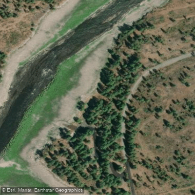
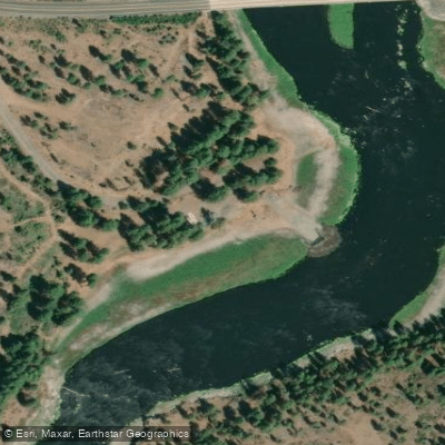
The Bureau of Land Management maintained Topsy Recreation Site, which provided a campground, boat launch, dock, and fishing pier. Prior to removal, the reservoir supported populations of largemouth bass (12-16 inches), black and white crappie, yellow perch, brown bullhead, and pumpkinseed sunfish. Water levels fluctuated up to 3 feet daily due to power generation operations.
The reservoir was created in the mid-1950s as part of the Klamath River Hydroelectric Project. Originally called Big Bend Reservoir, it was renamed in 1962 for John C. Boyle, an executive with California-Oregon Power Company. The dam's removal in 2024 was part of a larger project to restore salmon habitat and improve water quality in the Klamath River system.
The surrounding landscape features conifer forests with views of Aspen Butte and Mt McLoughlin. The area serves as a major stop on the Pacific Flyway, offering opportunities to spot bald eagles, osprey, and blue herons. The reservoir provided a water recreation destination in an otherwise dry region.
Note: As of 2024, this reservoir no longer exists following dam removal. The area is undergoing restoration to return the river to its natural state. All recreation facilities associated with J.C. Boyle Reservoir were closed by the Klamath River Renewal Corporation in 2023.
Water access, boat ramps & amenities
Learn how to get on John C Boyle Reservoir. Uncover great paddling access points, boat ramps, and all the facilities you need for an unforgettable day on the water. Some locations shown may border or include private property. Always check property boundaries and applicable regulations before visiting. PaddleWays's Public & Private Land layer can help you plan your access with confidence.
Paddle smarter with real-time insights
Whether you're en route and conditions shift or you're looking for the best spot based on current flows, we enable you to make informed decisions on the fly.








Find Places to Paddle

Over 400,000 Places to Paddle
Every user gets free access to launch points, boat ramps, and public property parcels.


Water and weather conditions (10 day forecast)
See the best times to paddle John C Boyle Reservoir and check the forecast before you go.
No forecast data available.
Paddling near John C Boyle Reservoir

Klamath River
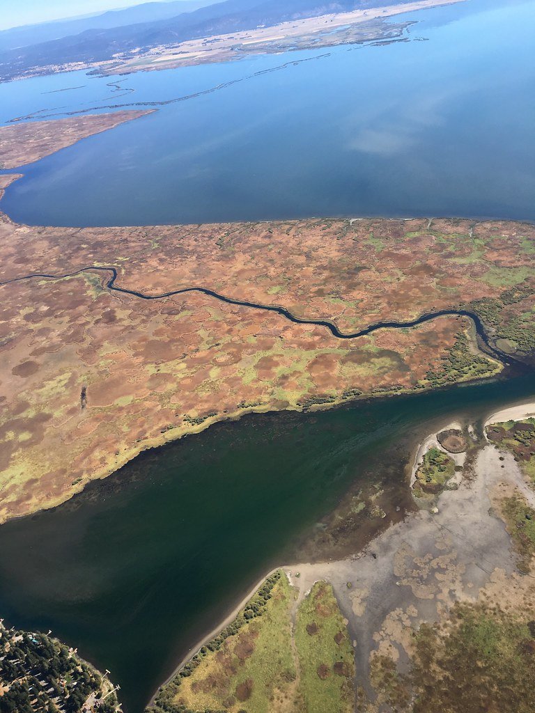
Upper Klamath Lake
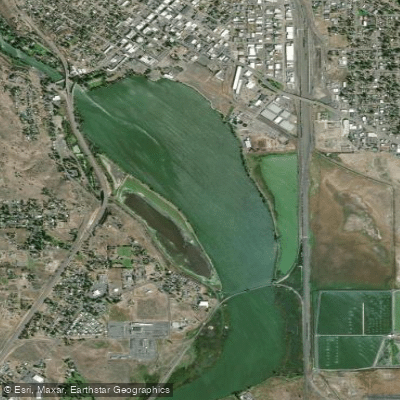
Lake Ewauna
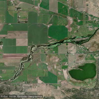
Lost River Pool
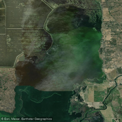
Agency Lake
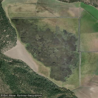
Round Lake
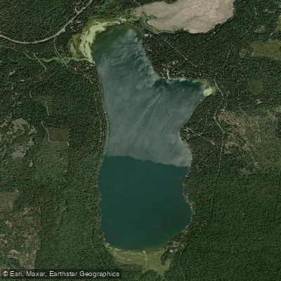
Lake of the Woods
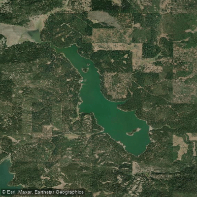
Howard Prairie Lake
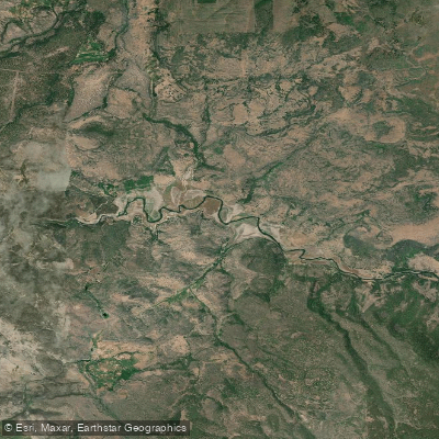
Copco Lake
Explore Oregon waters
Top paddling waters
Popular Cities
Loading popular cities...
Explore near John C Boyle Reservoir
Access points
Nearby waters
More in Oregon

Smarter Paddling Starts in the App.
Paddleways gives you everything you need to plan smarter, paddle better, and own every trip from first launch to takeout.