Upper Klamath Lake
Upper Klamath Lake
- Boat Ramps
- 5
- Access Points
- 5
- Campsites
- 3
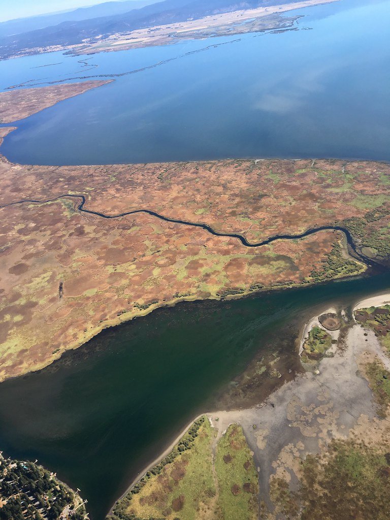
Upper Klamath Lake, located about 25 miles northwest of Klamath Falls in Southern Oregon, offers a scenic paddling experience with its 9.5-mile Upper Klamath Canoe Trail. The lake features calm waters suitable for varying skill levels, making it ideal for family outings. Paddlers can access the trail from two main points: Rocky Point, which has a boat launch and docks, or the quieter Malone Springs day-use area, designated for non-motorized boats.
The canoe trail can be divided into four segments, allowing for flexible route planning. A popular route starts at Rocky Point, heading north into Recreation Creek. This path provides views of emerald-green marshlands, distant mountains, and abundant wildlife. Paddlers can expect to see diverse bird species, including red-winged blackbirds, hermit warblers, and American white pelicans. The clear waters reveal masses of wocus lily, a yellow water plant significant to the Klamath Tribes and local ecology.
For a leisurely paddle, it takes about 45 minutes to reach Wocus Cut, where paddlers can continue to Malone Springs or loop back via Crystal Creek. It's advisable to paddle Wocus Cut in spring or early summer, as it often dries up by August. Winds can pick up farther from shore, so less experienced paddlers may prefer staying closer to land along Recreation Creek.
Overnight accommodations are available at Rocky Point Resort and Harriman Springs Resort and Marina, both offering various lodging options and on-site boat rentals. The resorts are open seasonally, typically from May through December, with summer being the busiest period.
Paddlers should be aware of potential wind conditions and always check current directions before setting out. The lake's expansive wetlands and surrounding conifer and redwood trees create a picturesque backdrop for paddling adventures, with opportunities to spot diverse wildlife and enjoy sweeping vistas of the Klamath Basin.
Water access, boat ramps & amenities
Learn how to get on Upper Klamath Lake. Uncover great paddling access points, boat ramps, and all the facilities you need for an unforgettable day on the water. Some locations shown may border or include private property. Always check property boundaries and applicable regulations before visiting. PaddleWays's Public & Private Land layer can help you plan your access with confidence.
Paddle smarter with real-time insights
Whether you're en route and conditions shift or you're looking for the best spot based on current flows, we enable you to make informed decisions on the fly.








Find Places to Paddle

Over 400,000 Places to Paddle
Every user gets free access to launch points, boat ramps, and public property parcels.


Water and weather conditions (10 day forecast)
See the best times to paddle Upper Klamath Lake and check the forecast before you go.
UPPER KLAMATH LAKE AT HOWARD BAY, OR
All Flow Stations
Paddling near Upper Klamath Lake

Klamath River
Lake Ewauna
John C Boyle Reservoir
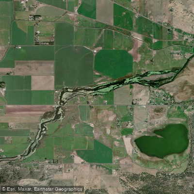
Lost River Pool
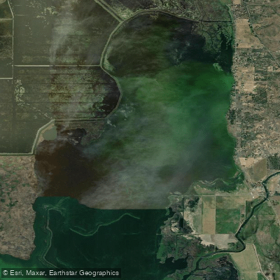
Agency Lake
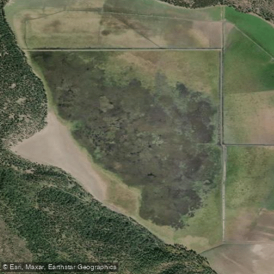
Round Lake
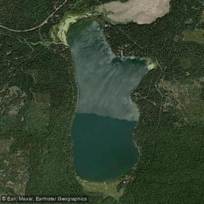
Lake of the Woods
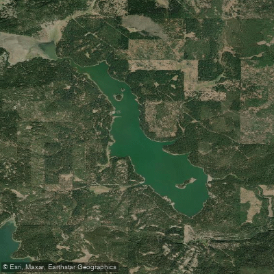
Howard Prairie Lake
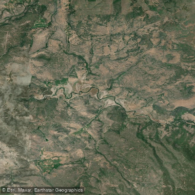
Copco Lake
Explore Oregon waters
Top paddling waters
Popular Cities
Loading popular cities...
Explore near Upper Klamath Lake
Access points
Nearby waters
More in Oregon

Smarter Paddling Starts in the App.
Paddleways gives you everything you need to plan smarter, paddle better, and own every trip from first launch to takeout.