Lake of the Woods
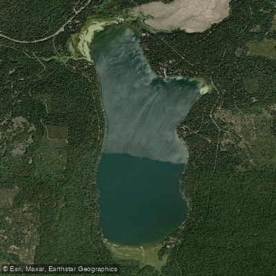
Lake of the Woods
- Boat Ramps
- 3
- Access Points
- 3
- Campsites
- 1
Lake of the Woods is a pristine 1,250-acre alpine lake situated approximately 35-40 miles northwest of Klamath Falls in Klamath County, Oregon, along Highway 140. At an elevation of 5,744 feet in the Fremont-Winema National Forest, the lake offers crystal-clear waters surrounded by dense conifer forests and spectacular views of Mount McLoughlin (9,495 feet), the highest peak in Southern Oregon.
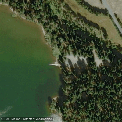
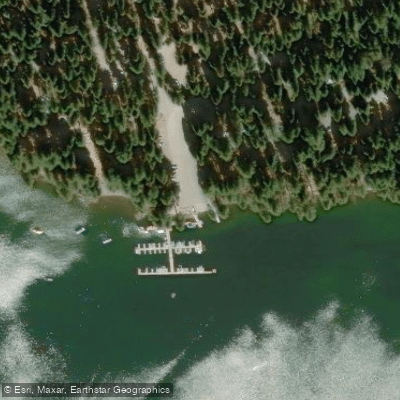
**Access Points**: Multiple launch sites serve paddlers around the lake. Rainbow Bay Day Use Area on the east shore provides convenient boat ramp access with parking for trailers, picnic tables, vault toilets, and potable water. The Lake of the Woods Resort maintains a marina with kayak, canoe, and stand-up paddleboard rentals, making it easy for visitors without their own equipment. Additional access exists at several Forest Service campgrounds including Aspen Point and Sunset Campground.
**Paddling Character**: The lake's sheltered position creates generally calm conditions ideal for kayaking, canoeing, and SUP boarding, particularly during morning hours before afternoon winds develop. The shoreline features a mix of developed areas near the resort and campgrounds, with more remote sections surrounded by wilderness. Most of the lake perimeter is bordered by the Sky Lakes Wilderness, accessible only by foot or watercraft.
**Scenery and Wildlife**: Paddlers enjoy stunning mountain vistas in every direction, with lodgepole pine stands framing the shoreline. The high-elevation mixed conifer forest supports diverse wildlife including ospreys, eagles, waterfowl, and occasionally deer or other mammals at the water's edge. The exceptionally clear water allows visibility into the depths below.
**Seasonal Considerations**: The lake is accessible primarily from late spring through early fall, with the Forest Service road (FS 3704) typically opening by June. Winter brings heavy snowfall that closes access roads until spring melt.
Water access, boat ramps & amenities
Learn how to get on Lake of the Woods. Uncover great paddling access points, boat ramps, and all the facilities you need for an unforgettable day on the water. Some locations shown may border or include private property. Always check property boundaries and applicable regulations before visiting. PaddleWays's Public & Private Land layer can help you plan your access with confidence.
Paddle smarter with real-time insights
Whether you're en route and conditions shift or you're looking for the best spot based on current flows, we enable you to make informed decisions on the fly.








Find Places to Paddle

Over 400,000 Places to Paddle
Every user gets free access to launch points, boat ramps, and public property parcels.


Water and weather conditions (10 day forecast)
See the best times to paddle Lake of the Woods and check the forecast before you go.
No forecast data available.
Paddling near Lake of the Woods

Klamath River
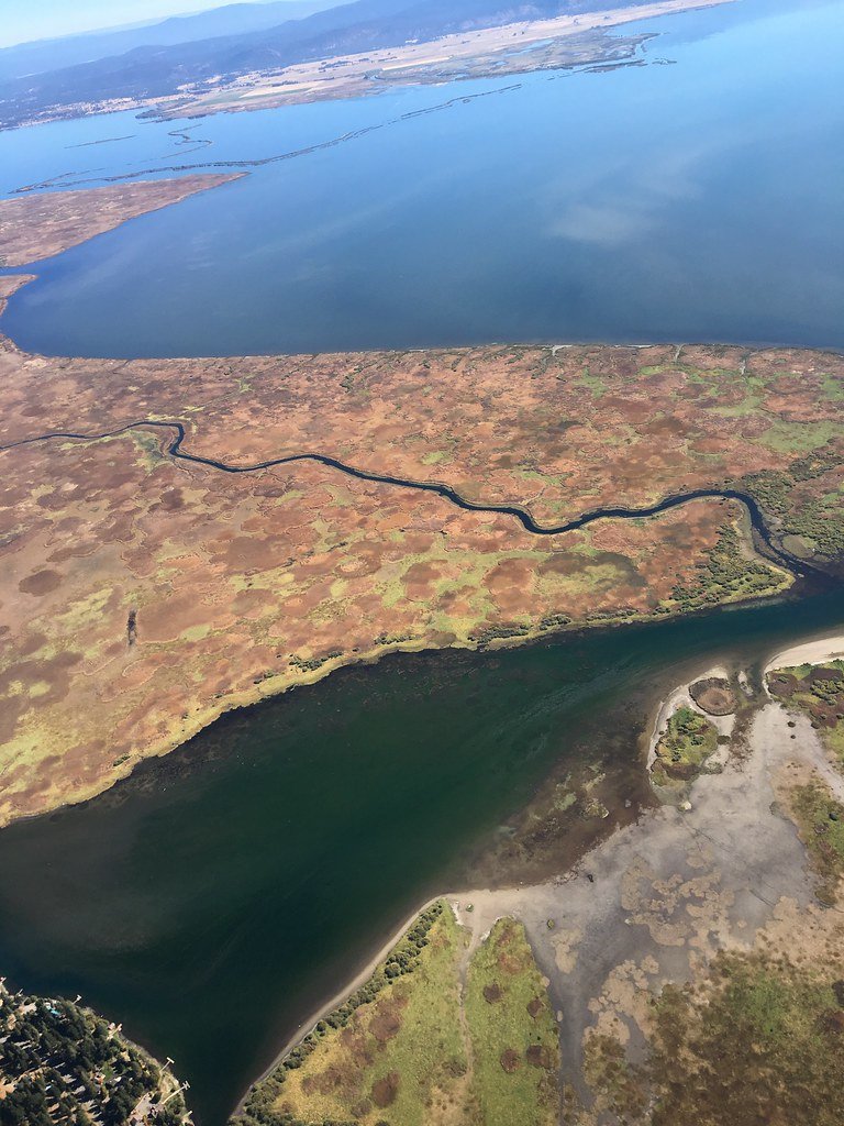
Upper Klamath Lake
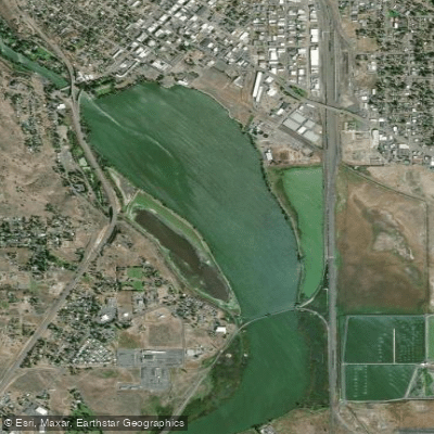
Lake Ewauna
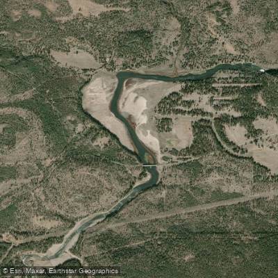
John C Boyle Reservoir
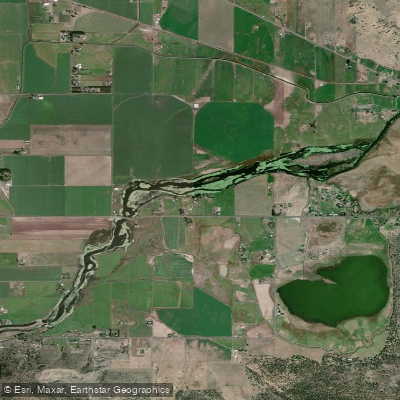
Lost River Pool
Agency Lake
Round Lake
Howard Prairie Lake
Copco Lake
Explore Oregon waters
Top paddling waters
Popular Cities
Loading popular cities...
Explore near Lake of the Woods
Access points
Nearby waters
More in Oregon

Smarter Paddling Starts in the App.
Paddleways gives you everything you need to plan smarter, paddle better, and own every trip from first launch to takeout.