Lake Selmac
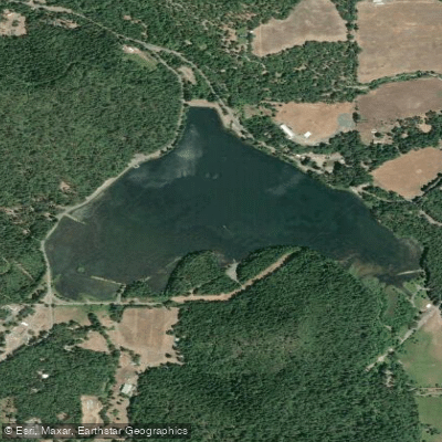
Lake Selmac
- Boat Ramps
- 4
- Access Points
- 4
- Campsites
- 6
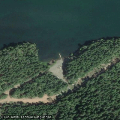
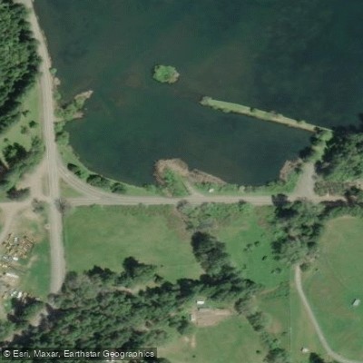
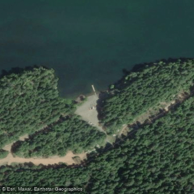
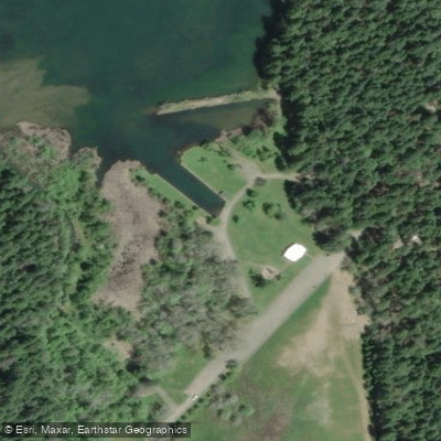
Lake Selmac in Josephine County offers a 300-acre paddling destination with two boat ramps providing easy water access. The lake features multiple developed access points, including Keller's Landing and facilities along South Shore Drive.
Paddlers should be aware of potential water quality issues. The lake can experience cyanobacterial (harmful algae) blooms, particularly in warmer months. The water tends to be murky with some pond weeds present, and the shoreline can be muddy in places. During blooms, paddlers should avoid creating excessive spray and limit high-speed water activities.
The lake environment supports diverse wildlife, making it an excellent destination for bird watching. Canada geese are frequently present along the shoreline. Multiple docks around the lake provide alternative launching points, though some areas have significant aquatic vegetation.
Facilities include multiple campgrounds along the shoreline (Osprey, Eagle, Heron, and Teal loops), offering both RV and tent camping options. Day-use areas with picnic shelters are available, and the park requires a Josephine County Parks day use fee.
The lake is most easily accessed from I-5 Exit 55, traveling south on Highway 199 for approximately 22.7 miles, then turning left on Lakeshore Drive and continuing 3 miles to the main park entrance. The location is roughly 24.5 miles from Grants Pass.
Lake Selmac is suitable for beginner paddlers, as demonstrated by positive experiences from first-time kayakers. The relatively small size of the lake makes it manageable for novice paddlers while providing enough space for extended paddling sessions. The lake is typically calm, though wind conditions can vary throughout the day.
Operating hours are from sunrise to sunset, and the lake supports multiple recreational activities including fishing and sailing, which paddlers should share the water with.
Water access, boat ramps & amenities
Learn how to get on Lake Selmac. Uncover great paddling access points, boat ramps, and all the facilities you need for an unforgettable day on the water. Some locations shown may border or include private property. Always check property boundaries and applicable regulations before visiting. PaddleWays's Public & Private Land layer can help you plan your access with confidence.
Paddle smarter with real-time insights
Whether you're en route and conditions shift or you're looking for the best spot based on current flows, we enable you to make informed decisions on the fly.








Find Places to Paddle

Over 400,000 Places to Paddle
Every user gets free access to launch points, boat ramps, and public property parcels.


Water and weather conditions (10 day forecast)
See the best times to paddle Lake Selmac and check the forecast before you go.
No forecast data available.
Paddling near Lake Selmac
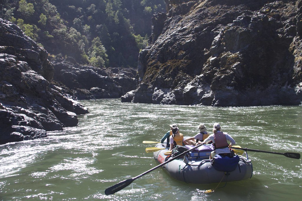
Rogue River
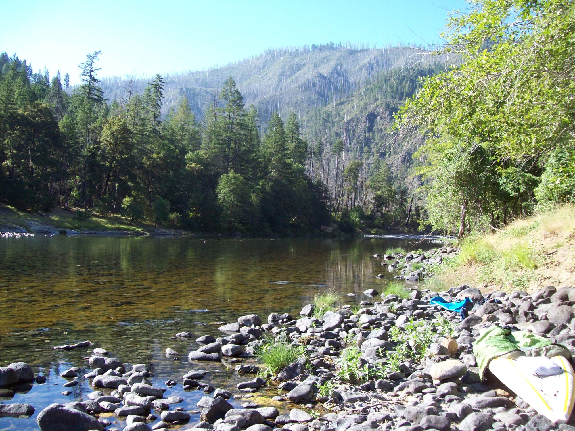
Illinois River

Klamath River
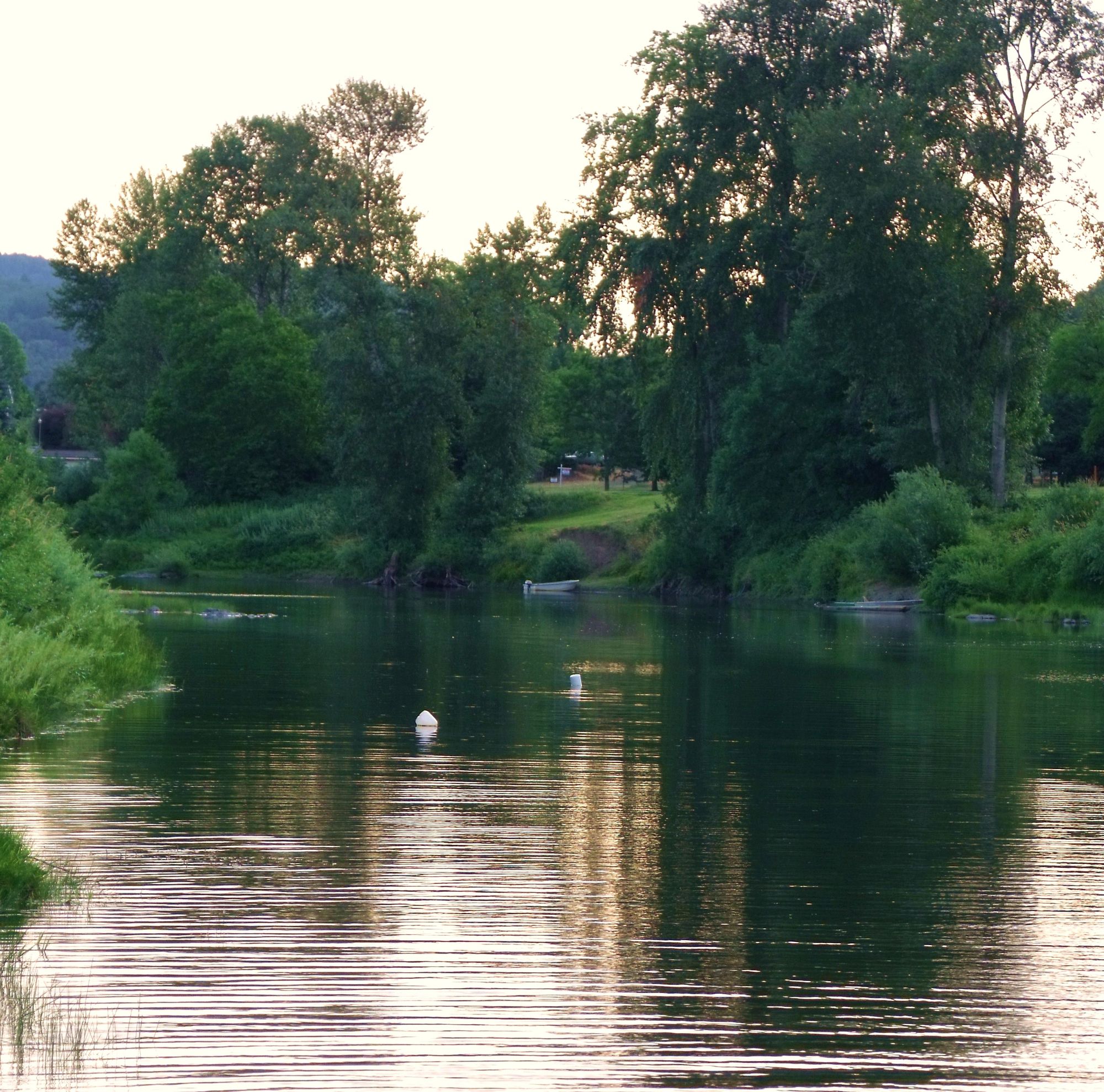
South Umpqua River
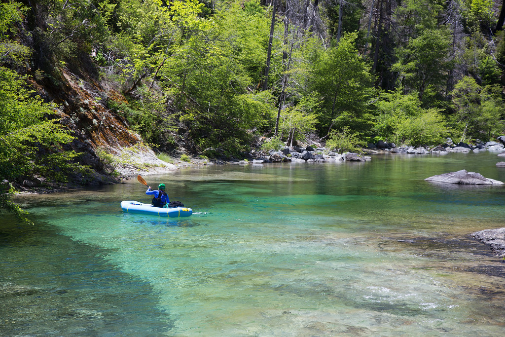
Chetco River
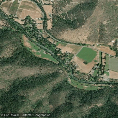
Applegate River
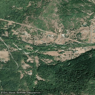
Grave Creek
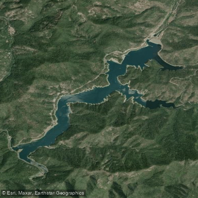
Applegate Lake
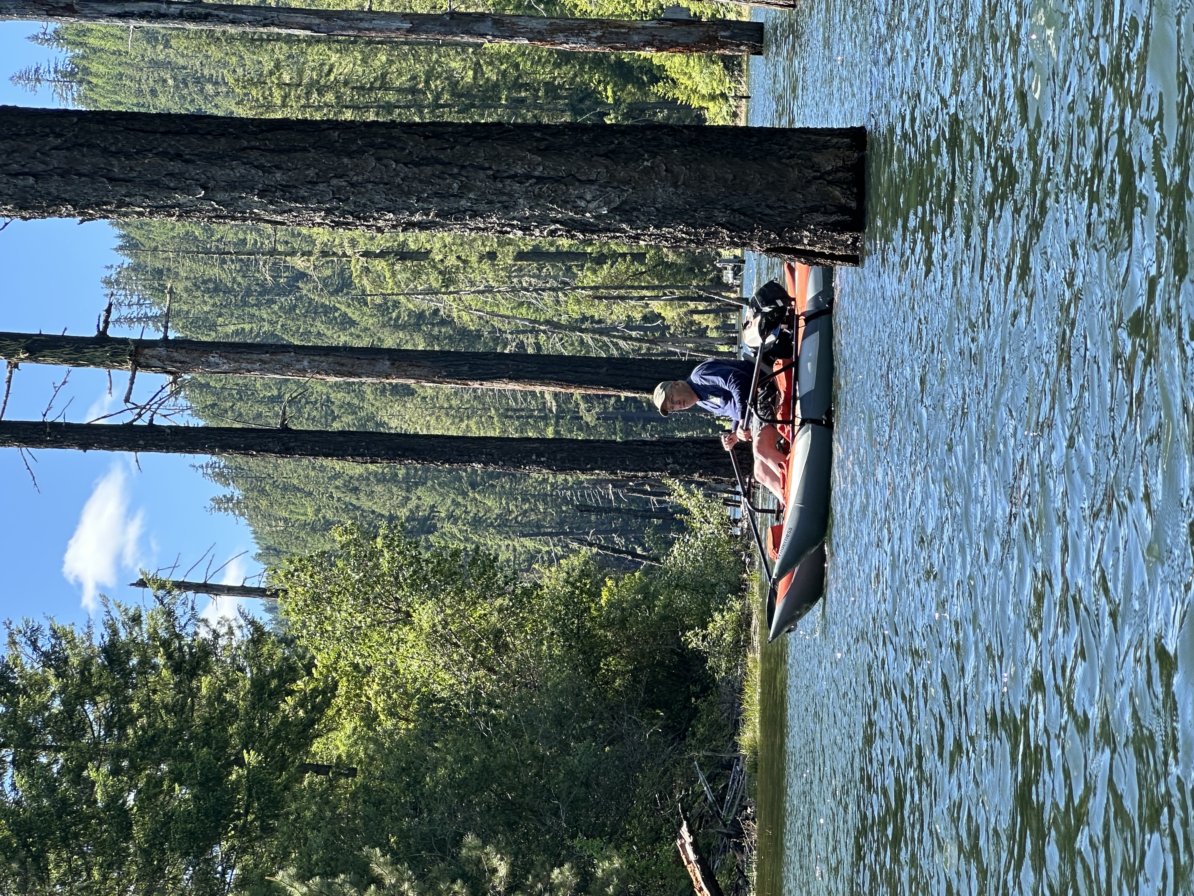
Galesville Reservoir
Explore Oregon waters
Top paddling waters
Popular Cities
Loading popular cities...
Explore near Lake Selmac
Access points
Nearby waters
More in Oregon

Smarter Paddling Starts in the App.
Paddleways gives you everything you need to plan smarter, paddle better, and own every trip from first launch to takeout.