Columbia River
- Saltwater
- Tidal river
Columbia River
- Saltwater
- Tidal river
- Sq. miles
- 186
- Boat Ramps
- 20
- Access Points
- 4
- Campsites
- 14
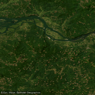
The Columbia River in the United States is a vast and varied waterway for paddlers, stretching 1,200 miles from its headwaters to the Pacific Ocean near Astoria, Oregon. The river's character changes dramatically along its course, from the long, intact wetlands of its upper sections in British Columbia and Washington to the massive reservoirs like Lake Roosevelt and the dramatic, steep-walled Columbia River Gorge. Paddling the entire length is a multi-week expedition requiring significant planning, including portaging around 14 major dams. For day trips, numerous access points exist. The Columbia River Gorge area offers several launch sites, including a private beach and protected cove at Herman Creek in Cascade Locks, Oregon, which provides calm conditions even on windy days. Other noted launch facilities include Chinook Landing Marine Park, the largest public boating facility on the river with six launching lanes. Paddlers should be prepared for strong and persistent winds, particularly on the large reservoirs and open stretches of the river, which can create choppy waters and frustrating headwinds that severely impede progress. The river is also a major shipping corridor, so paddlers must be vigilant for boat traffic. Wildlife sightings are common, with bald eagles, herons, and ospreys frequently observed, especially in the wetland areas. Summer brings very high temperatures, making hydration and cooling off in the water essential, though late-summer algae blooms can occur in some slower-moving sections like Horsethief Lake. The best season for extended trips is summer, though wind and heat are significant factors. The river holds deep historical significance, with evidence of human activity dating back over 11,000 years, and it formed a key part of the Lewis and Clark expedition route.
Water access, boat ramps & amenities
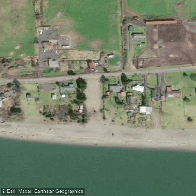
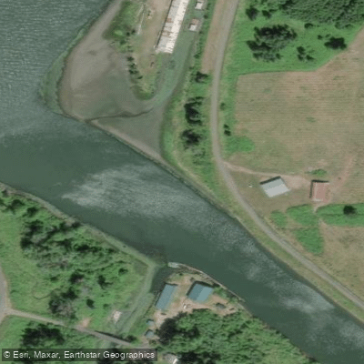
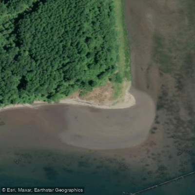
Learn how to get on Columbia River. Uncover great paddling access points, boat ramps, and all the facilities you need for an unforgettable day on the water. Some locations shown may border or include private property. Always check property boundaries and applicable regulations before visiting. PaddleWays's Public & Private Land layer can help you plan your access with confidence.
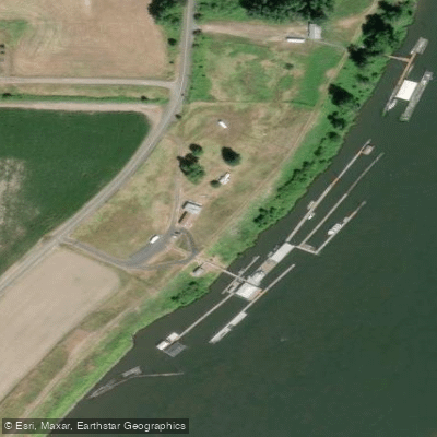
Paddle smarter with real-time insights
Whether you're en route and conditions shift or you're looking for the best spot based on current flows, we enable you to make informed decisions on the fly.








Find Places to Paddle

Over 400,000 Places to Paddle
Every user gets free access to launch points, boat ramps, and public property parcels.


Tides, wind & water conditions (10 day forecast)
On open water, wind and tide matter as much as the weather. See the best times to paddle Columbia River and check the marine forecast before you launch.
Loading tide predictions…
Paddling near Columbia River

Columbia River
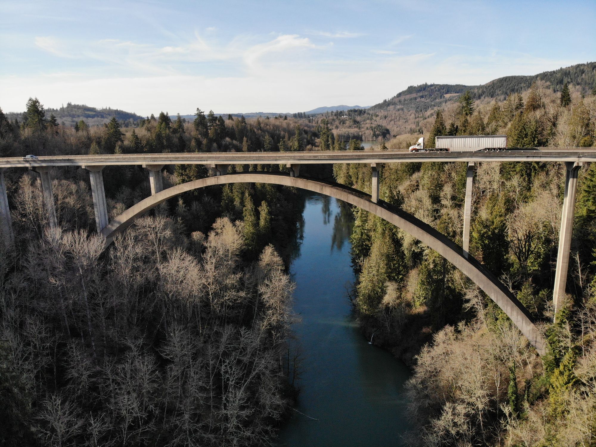
Cowlitz River
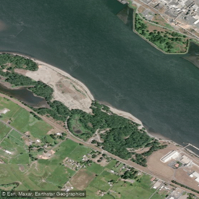
Dibblees Beach
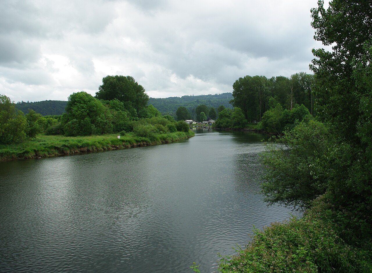
Kalama River
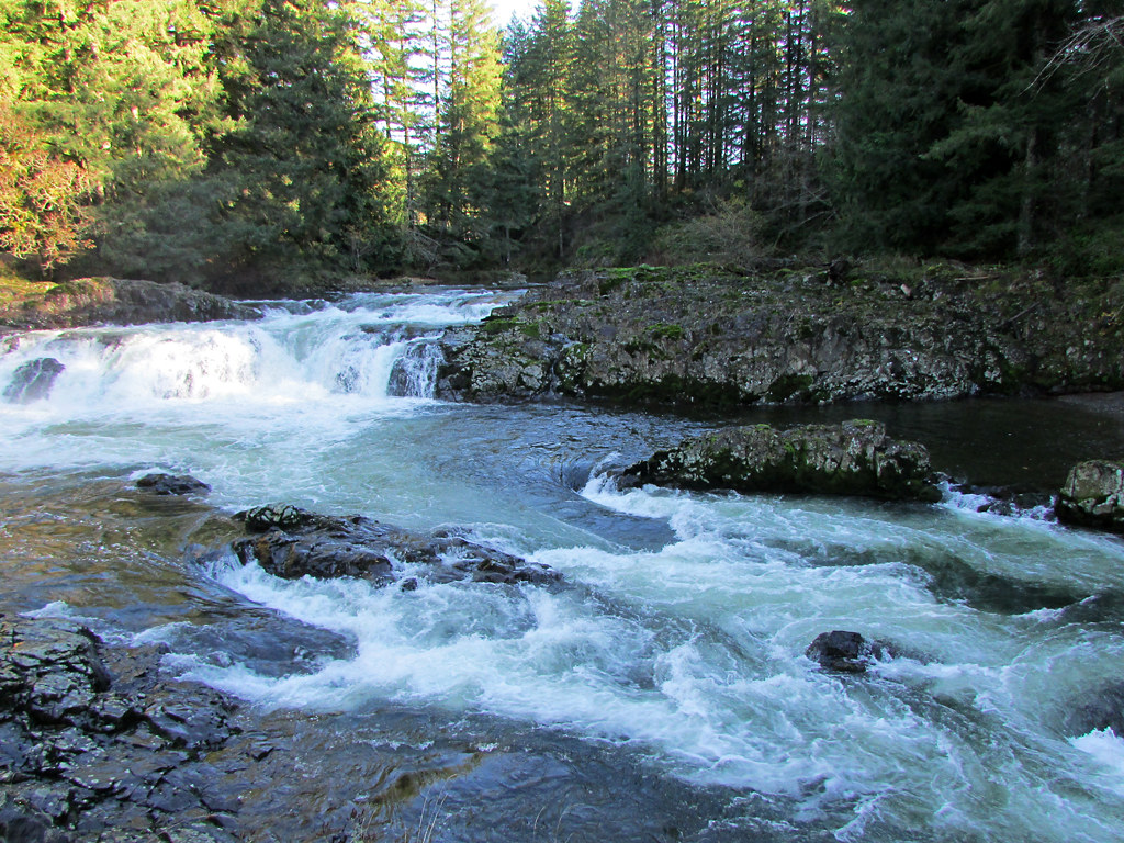
Lewis River
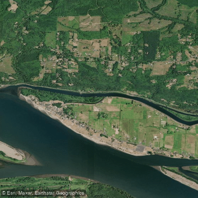
Coal Creek Slough
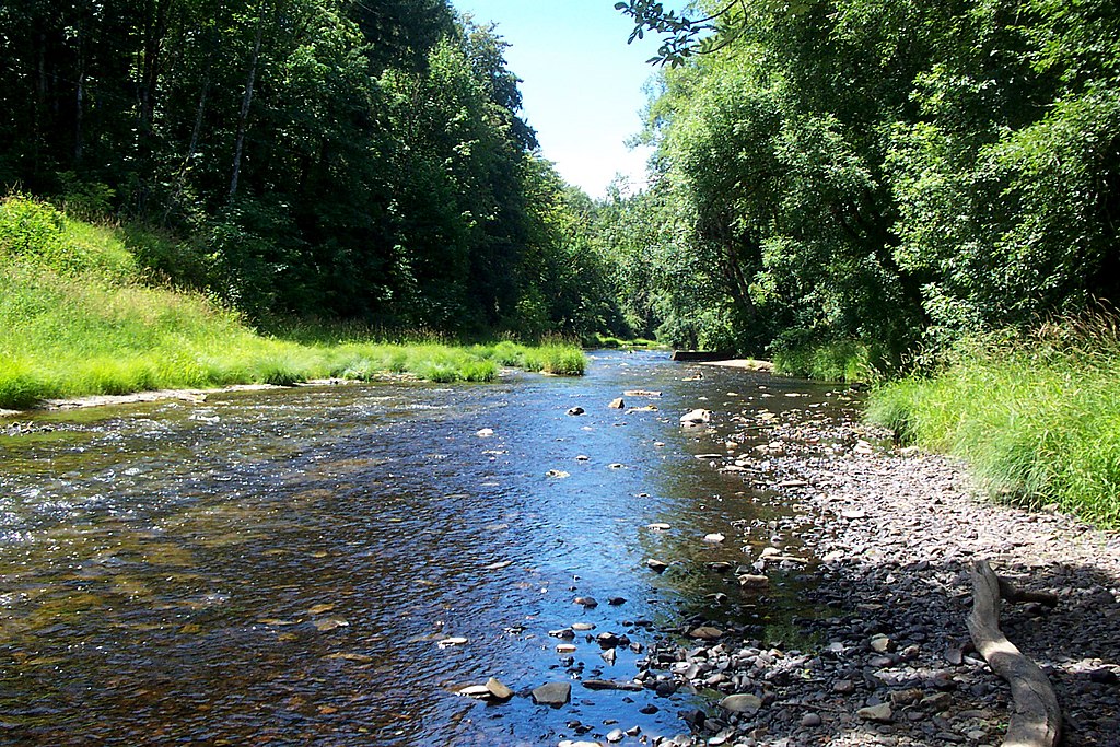
Nehalem River
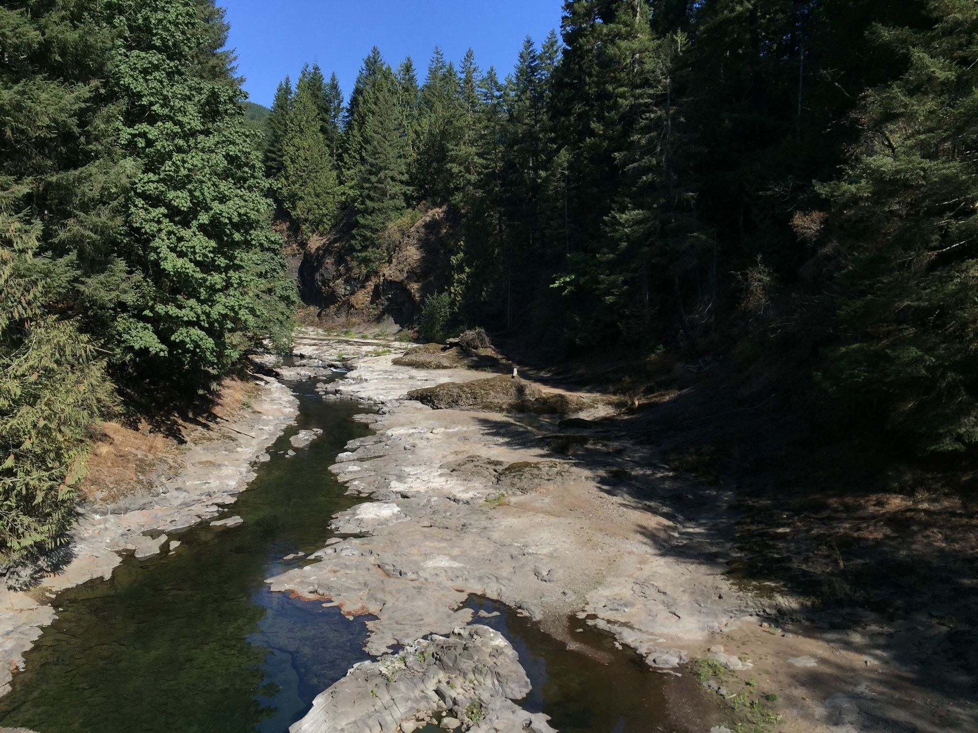
Chehalis River
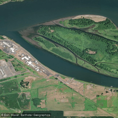
Bradbury Slough
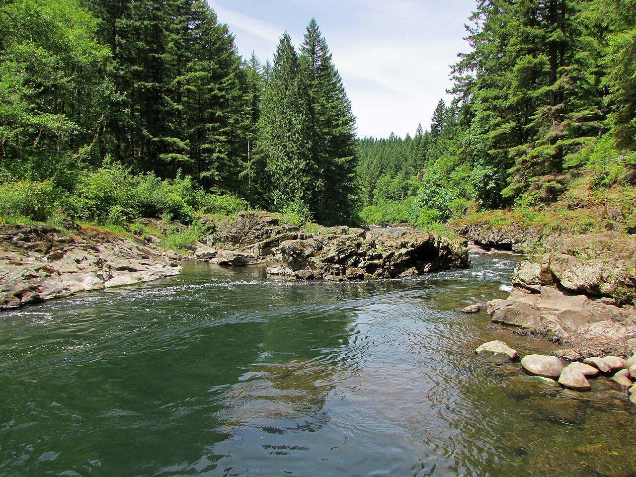
East Fork Lewis River
Explore Oregon waters
Top paddling waters
Popular Cities
Loading popular cities...
Explore near Columbia River
Access points
- Kalama Marina Boat Ramp
- Sauvie Island Boat Ramp
- Woodland Bottoms Boat Ramp
- East End Basin Boat Ramp
- Marine Park Vancouver Boat Ramp
- Sportsman's Club Boat Ramp
- Riverfront Park Boat Ramp
- Cassidy Boat Ramp
- St. Helens Marina Boat Ramp
- Aldrich Point Boat Ramp
- Scipio's Goble Landing Boat Ramp
- Gilbert River Boat Ramp
- All 193 spots
Nearby waters
More in Oregon

Smarter Paddling Starts in the App.
Paddleways gives you everything you need to plan smarter, paddle better, and own every trip from first launch to takeout.