Nestucca Bay
- Saltwater
- Bay
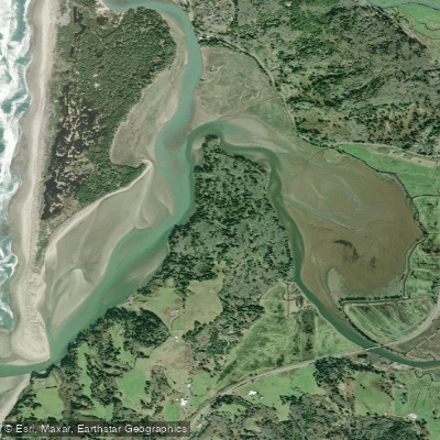
Nestucca Bay
- Saltwater
- Bay
- Sq. miles
- 1.2
- Boat Ramps
- 0
- Access Points
- 0
- Campsites
- 1
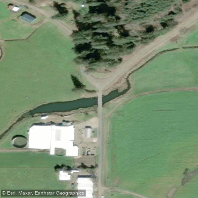
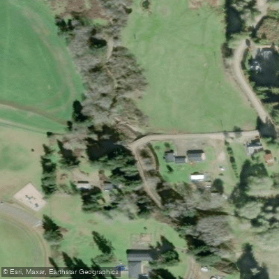
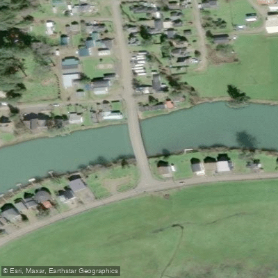
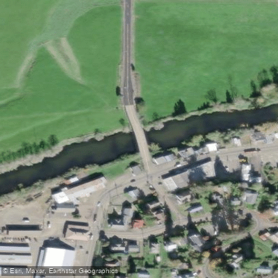
Nestucca Bay is a coastal estuary in Pacific City, Oregon, part of the Nestucca Bay National Wildlife Refuge. It is formed where the Nestucca and Little Nestucca Rivers converge before meeting the Pacific Ocean. The primary launch for paddlers is the Pacific City Boat Launch on Sunset Drive, which has a $4 parking fee and restrooms. Another key access point is the Little Nestucca Boat Ramp on Meda Loop Road, a quarter-mile east of Highway 101, providing entry to the Little Nestucca River and the bay. A commercial option is Nestucca Adventures, a marina shop with a dock and put-in on the Nestucca River in downtown Pacific City, offering kayak and SUP rentals and instruction.
Tidal timing is a critical planning factor. Stronger currents are present near the mouth of the bay, especially on an incoming (flood) tide, which can create interesting conditions for experienced paddlers. A common route involves launching from Pacific City shortly after low tide, paddling out the Nestucca River to the bay mouth with the incoming tide, then exploring the Little Nestucca River before returning, covering 8 to 10 miles over 3 to 4 hours. Conditions are generally calm within the river sections and much of the bay, but winds can pick up and create chop, particularly in the more exposed areas of the bay. The bay is open to the ocean, so paddlers venturing near the mouth must be prepared for potential swell and should be aware of boat traffic in the channel. Sea lions are commonly seen both in the bay and sometimes in the river.
The area offers a flat-water paddling experience through marshlands, grassy bluffs, and forested shores, with abundant wildlife viewing for songbirds, blue herons, deer, and bear. The water is part of the designated Tillamook County Water Trail system, and a free guidebook is available for detailed route planning. The coastal weather is highly variable, with common fog, high winds, and rain possible year-round; temperatures typically range from 45 to 75 degrees Fahrenheit. Proper immersion protection, such as a wetsuit, is recommended. The refuge allows only non-motorized watercraft, ensuring a peaceful experience.
Water access, boat ramps & amenities
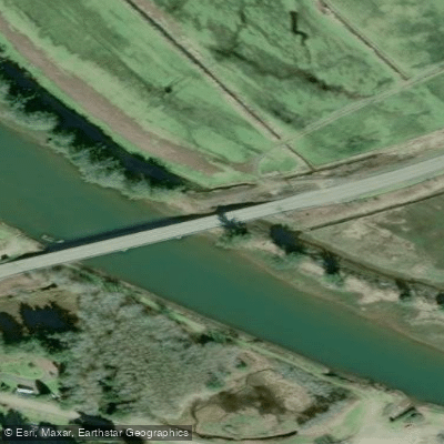
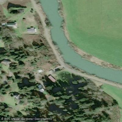
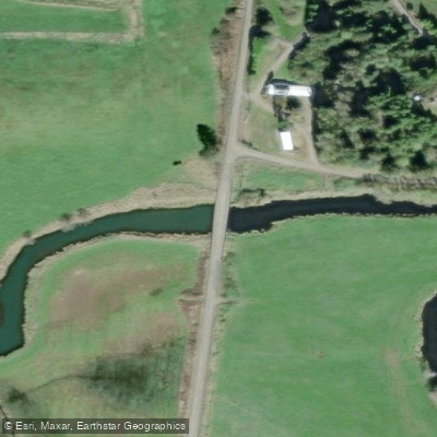
Learn how to get on Nestucca Bay. Uncover great paddling access points, boat ramps, and all the facilities you need for an unforgettable day on the water. Some locations shown may border or include private property. Always check property boundaries and applicable regulations before visiting. PaddleWays's Public & Private Land layer can help you plan your access with confidence.
Paddle smarter with real-time insights
Whether you're en route and conditions shift or you're looking for the best spot based on current flows, we enable you to make informed decisions on the fly.








Find Places to Paddle

Over 400,000 Places to Paddle
Every user gets free access to launch points, boat ramps, and public property parcels.


Tides, wind & water conditions (10 day forecast)
On open water, wind and tide matter as much as the weather. See the best times to paddle Nestucca Bay and check the marine forecast before you launch.
Loading tide predictions…
Paddling near Nestucca Bay
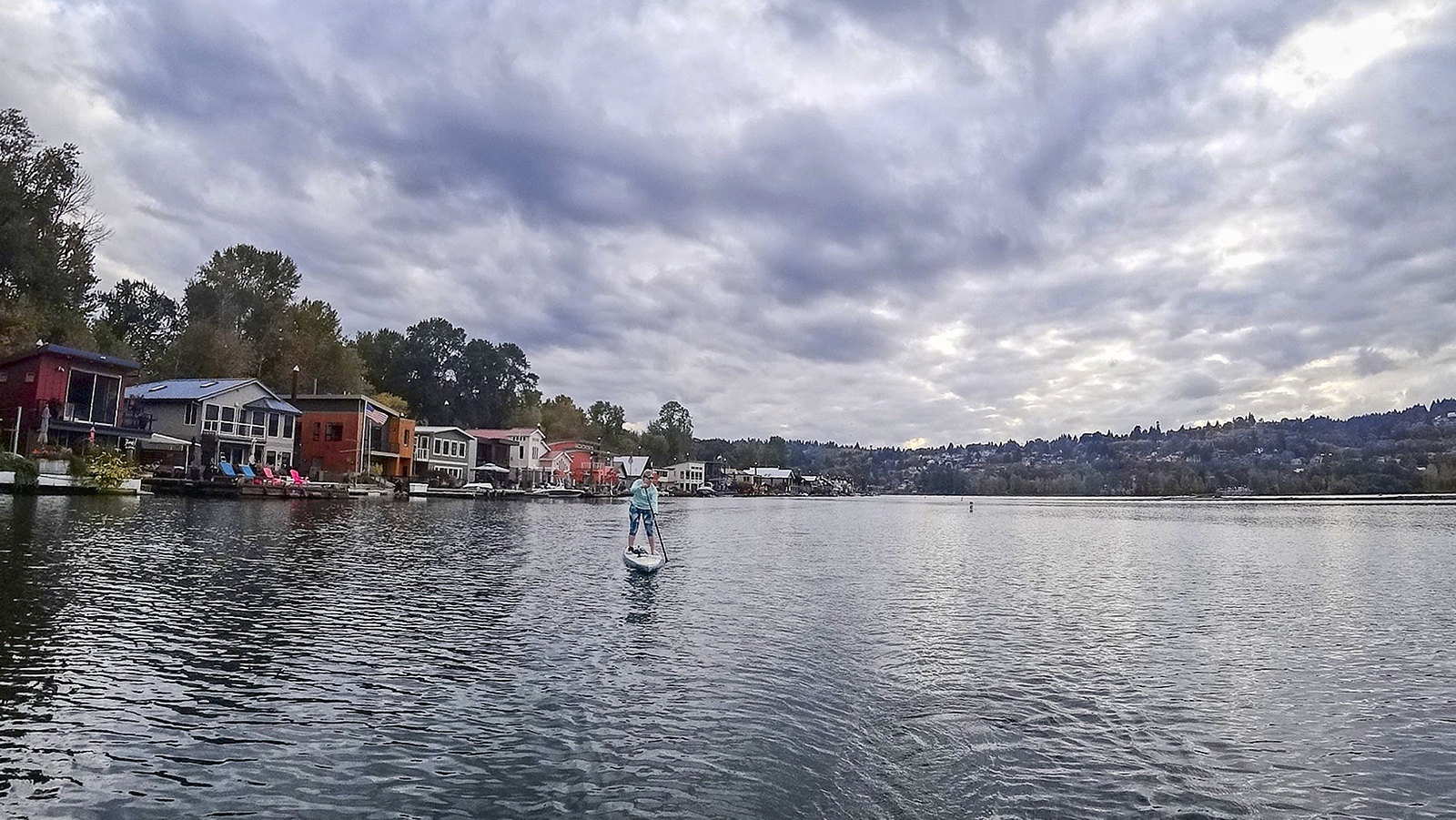
Willamette River
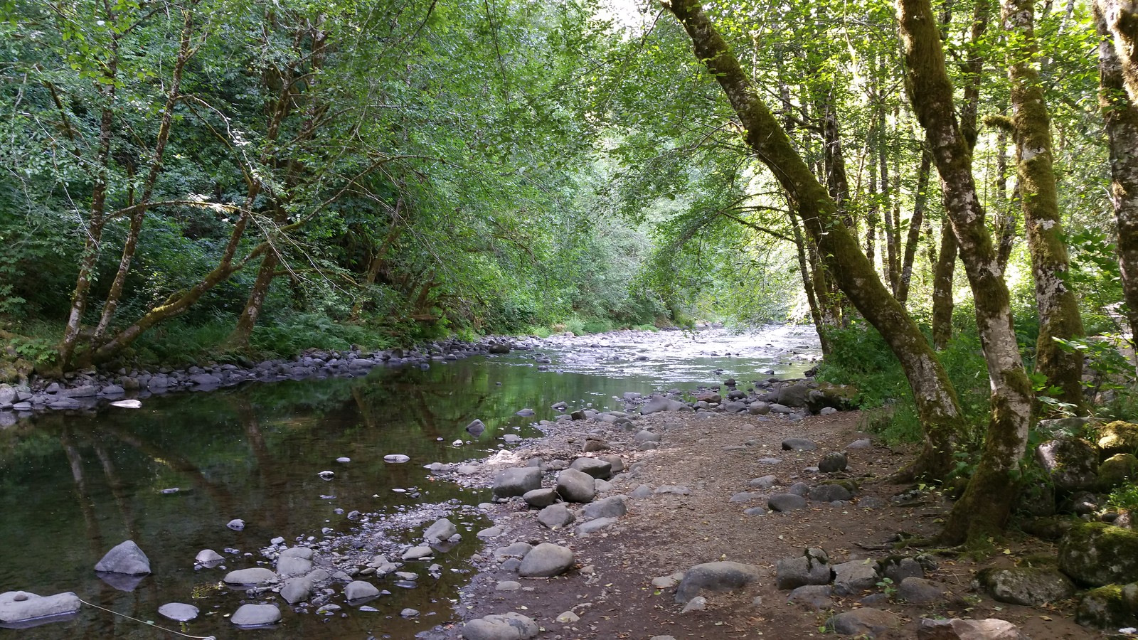
Nestucca River
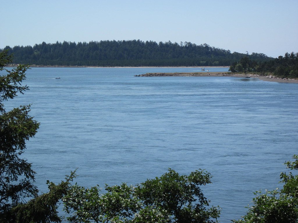
Tillamook Bay
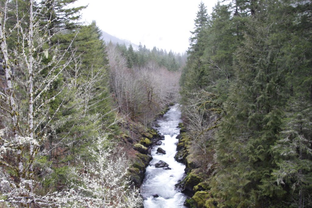
Molalla River

Columbia River
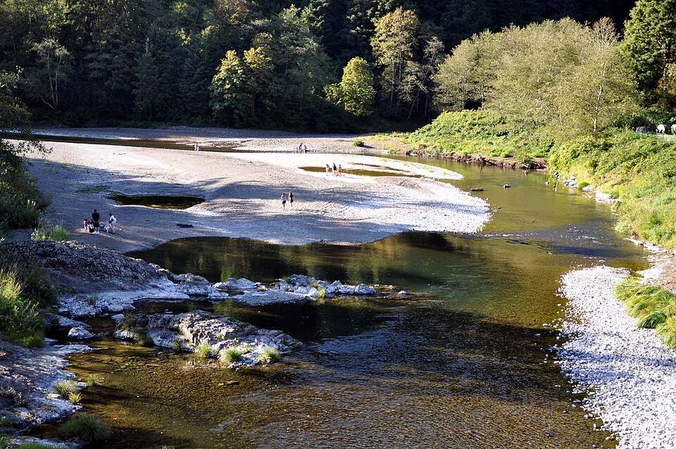
Wilson River
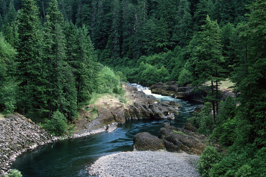
Clackamas River
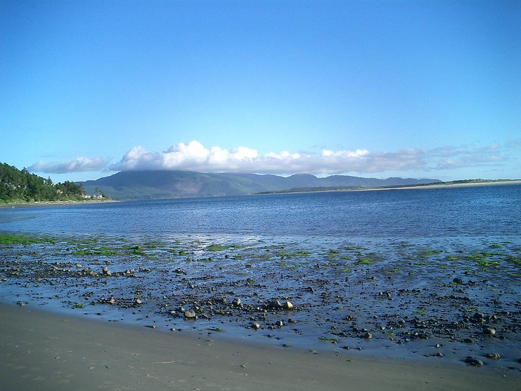
Netarts Bay
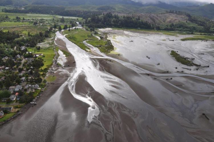
Siletz River
Explore Oregon waters
Top paddling waters
Popular Cities
Loading popular cities...
Explore near Nestucca Bay
Access points
Nearby waters
More in Oregon

Smarter Paddling Starts in the App.
Paddleways gives you everything you need to plan smarter, paddle better, and own every trip from first launch to takeout.