Thomas Creek
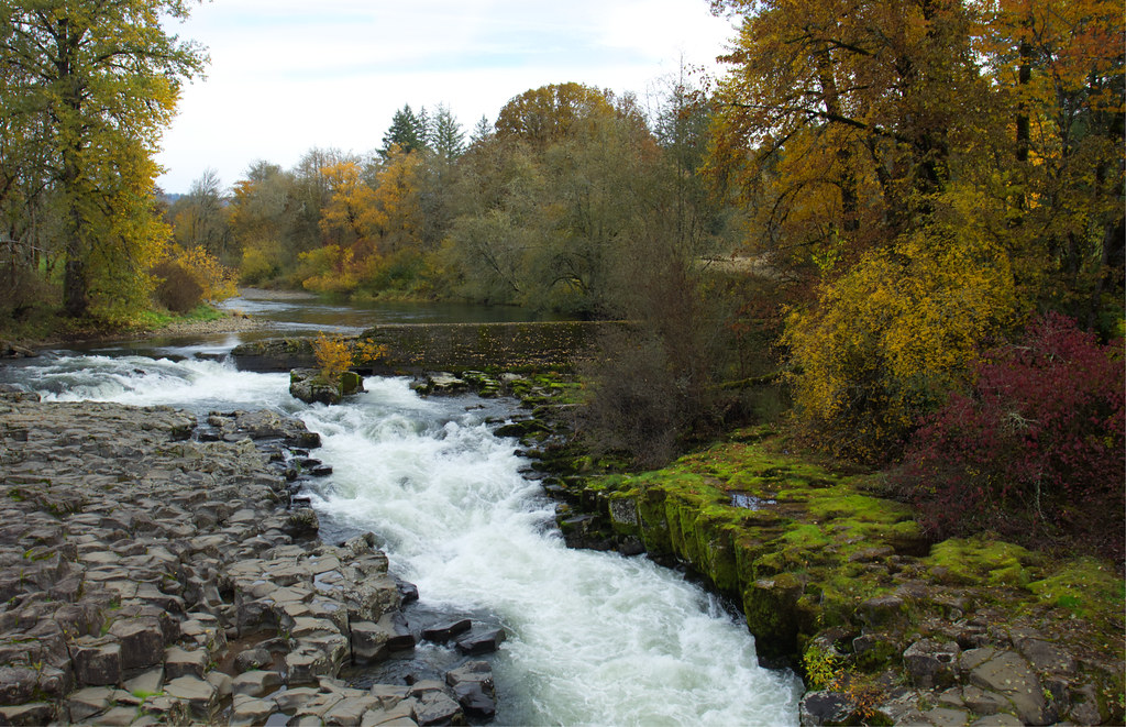
Thomas Creek
- Boat Ramps
- 3
- Access Points
- 6
- Campsites
- 5
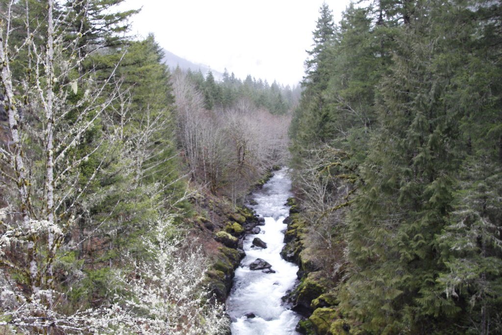
Thomas Creek originates at approximately 3,700 feet elevation in the Willamette National Forest on the western slopes of the Cascade Range, southwest of Detroit Lake. The creek flows generally westward for 35 miles through Santiam State Forest and agricultural land before joining the South Santiam River west of Scio. The watershed drains approximately 117 square miles, with the creek receiving contributions from Hall Creek, Jordan Creek, and numerous smaller tributaries along its course.
The creek offers two distinct whitewater paddling sections. The upper run, from below Thomas Creek Falls to Log Bridge, covers 5.2 miles of Class III-IV whitewater through forested terrain. This technically demanding section features fast water, rocky ledges, and significant hazards including logjams and a debris dam. Access is limited to hunting season in fall when gates open to private timberland. The lower section, from Log Bridge to Hannah Covered Bridge, provides 9.6 miles of Class II-III paddling suitable for intermediate boaters working on eddy-hopping and ferrying skills. This stretch passes through a basalt canyon with small caves and waterfalls visible only from the water, culminating in a notable Class III rapid below Jordan Dam requiring a portage.
Optimal paddling conditions occur during the rainy season from late fall through spring, with flows between 900 and 2,500 cubic feet per second. The creek's average discharge near Scio is 487 cfs, though it peaked at 27,400 cfs during the catastrophic Christmas flood of 1964, which inundated the entire city of Scio. Summer flows drop to as low as 3.4 cfs, making the creek unsuitable for boating but popular for swimming.
The creek supports smallmouth bass, cutthroat trout, and small runs of Chinook salmon and steelhead, though fishing for anadromous species is prohibited. Catch-and-release trout fishing is permitted from late May through October.
Six covered bridges historically spanned Thomas Creek, with three remaining: Gilkey Bridge (1939), Shimanek Bridge (1966), and Hannah Bridge (1936), all listed on the National Register of Historic Places. These Howe truss structures form part of Linn County's covered bridge tour. The creek was named for 19th-century settler Frederick Thomas.
Safety concerns include private land dominating the shoreline, limiting access points, and the extreme danger of swimming during high flows when the creek runs through dense vegetation. The creek's basalt geology, inherited from the same Columbia River basalt that formed Silver Falls, creates undercut rocks and powerful hydraulics.
Primary access points include 5-Mile Bridge, Hannah Covered Bridge, and Richardson Gap Road, all within reasonable distance of Scio and Stayton.
Water access, boat ramps & amenities
Learn how to get on Thomas Creek. Uncover great paddling access points, boat ramps, and all the facilities you need for an unforgettable day on the water. Some locations shown may border or include private property. Always check property boundaries and applicable regulations before visiting. PaddleWays's Public & Private Land layer can help you plan your access with confidence.
Paddle smarter with real-time insights
Whether you're en route and conditions shift or you're looking for the best spot based on current flows, we enable you to make informed decisions on the fly.








Find Places to Paddle

Over 400,000 Places to Paddle
Every user gets free access to launch points, boat ramps, and public property parcels.


Water and weather conditions (10 day forecast)
See the best times to paddle Thomas Creek and check the forecast before you go.
THOMAS CREEK NEAR SCIO, OR
Paddling near Thomas Creek
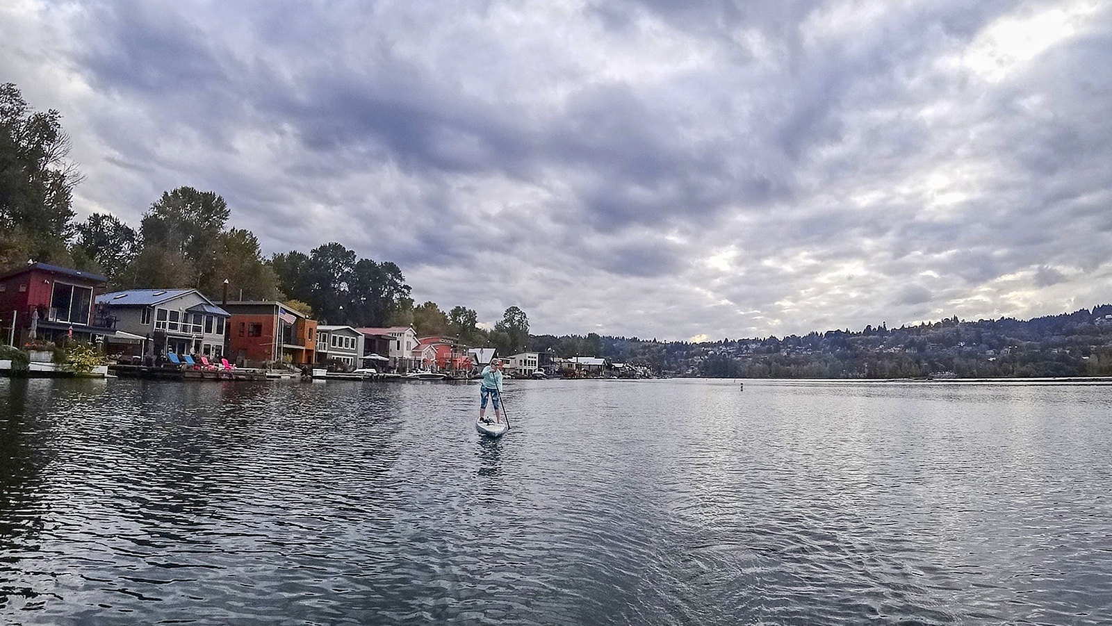
Willamette River
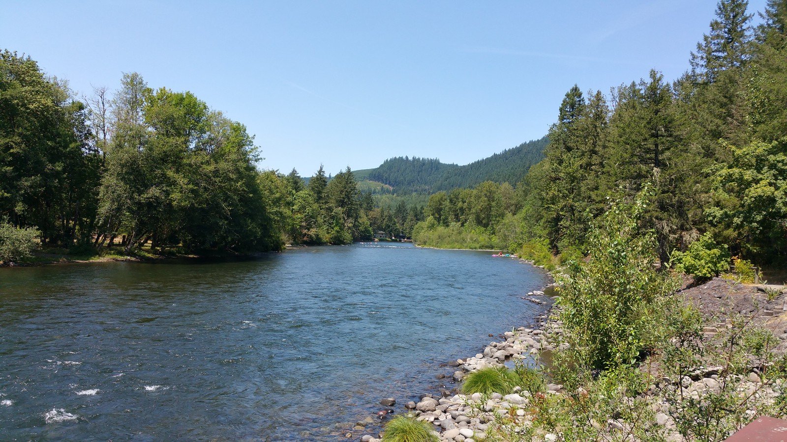
North Santiam River
Yaquina River
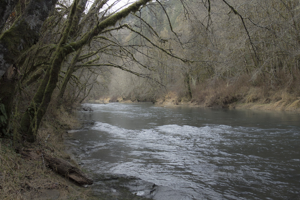
Alsea River
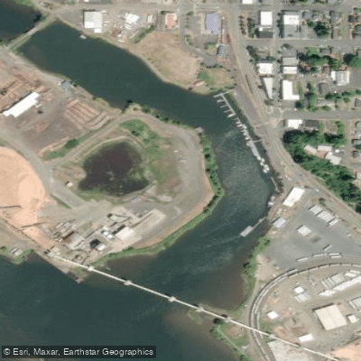
Depot Slough
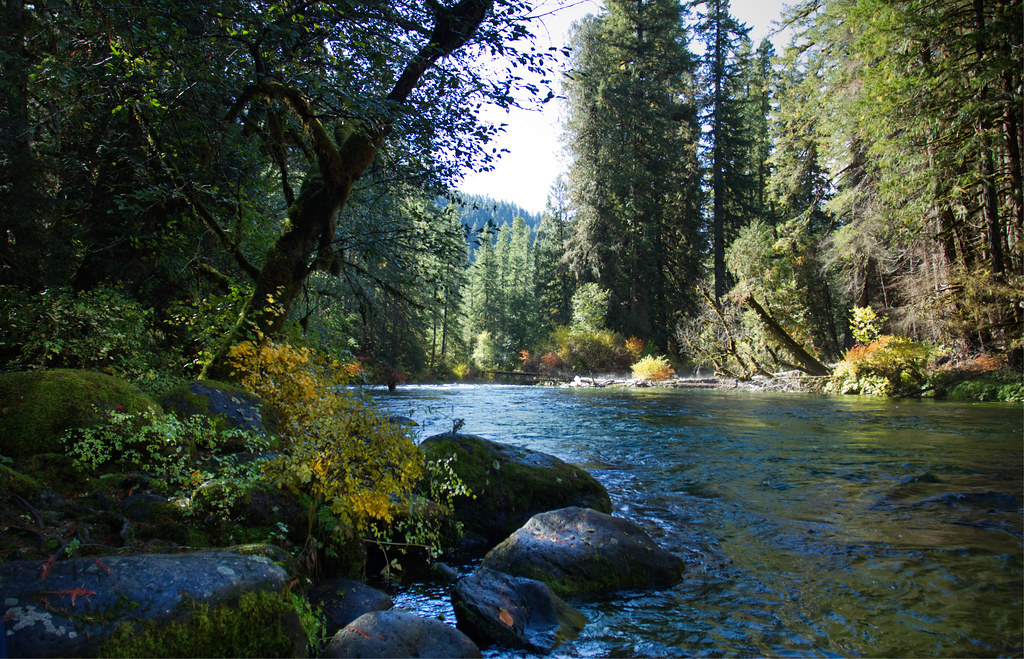
McKenzie River
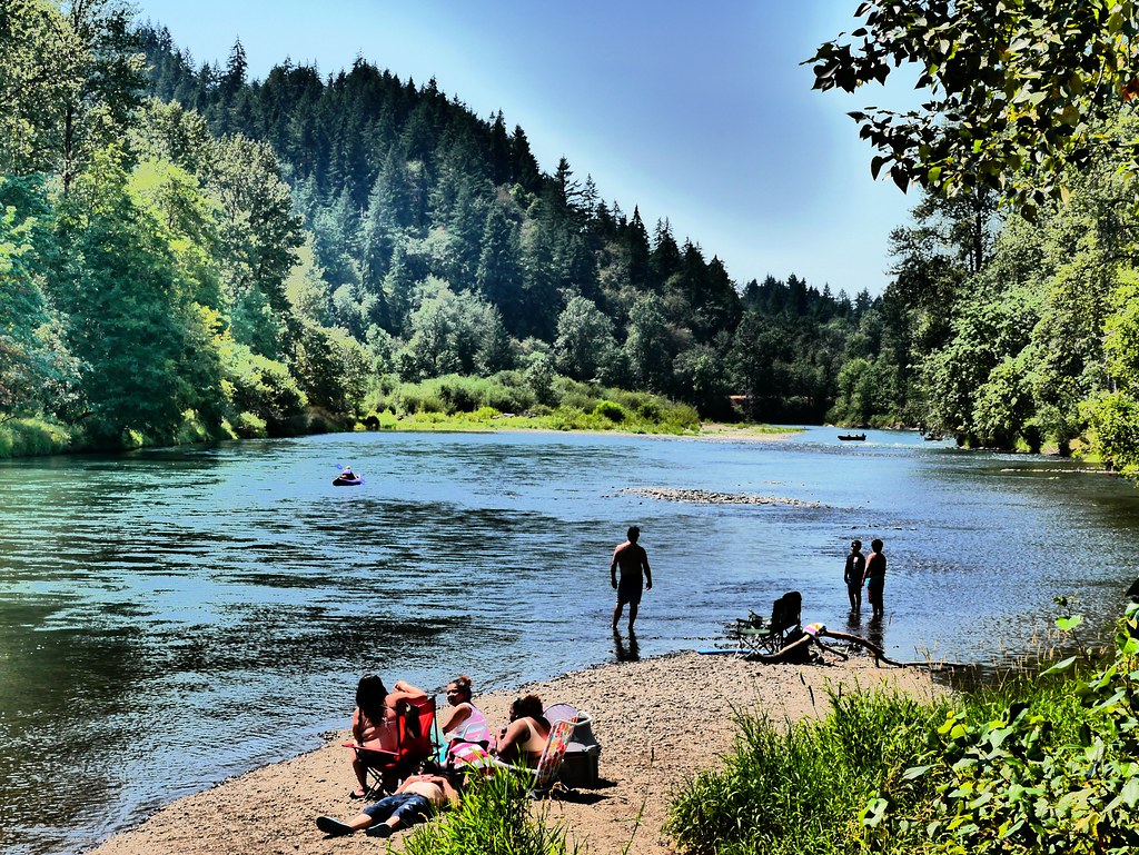
Middle Fork Willamette River
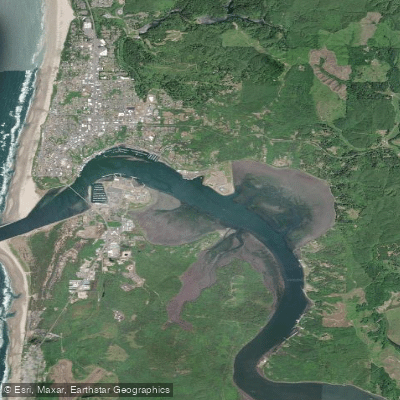
Yaquina Bay
Molalla River
Explore Oregon waters
Top paddling waters
Popular Cities
Loading popular cities...
Explore near Thomas Creek
Access points
Nearby waters
More in Oregon

Smarter Paddling Starts in the App.
Paddleways gives you everything you need to plan smarter, paddle better, and own every trip from first launch to takeout.