North Umpqua River
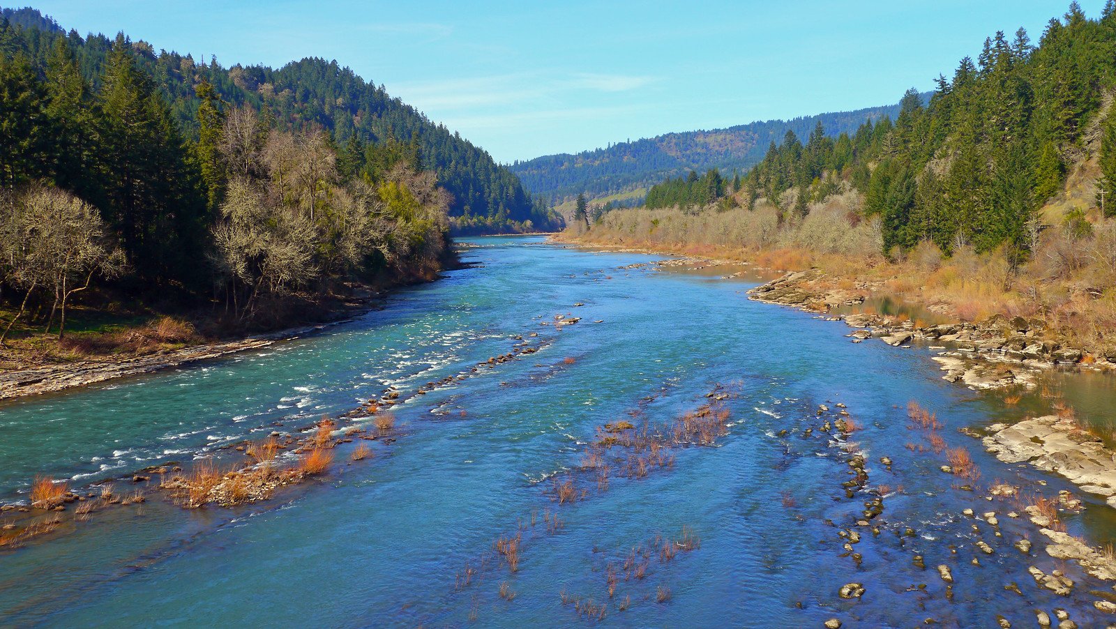
North Umpqua River
- Boat Ramps
- 19
- Access Points
- 32
- Campsites
- 41
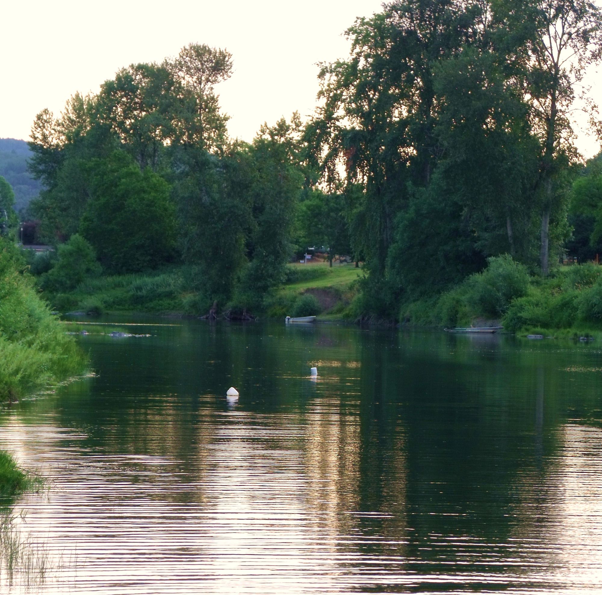
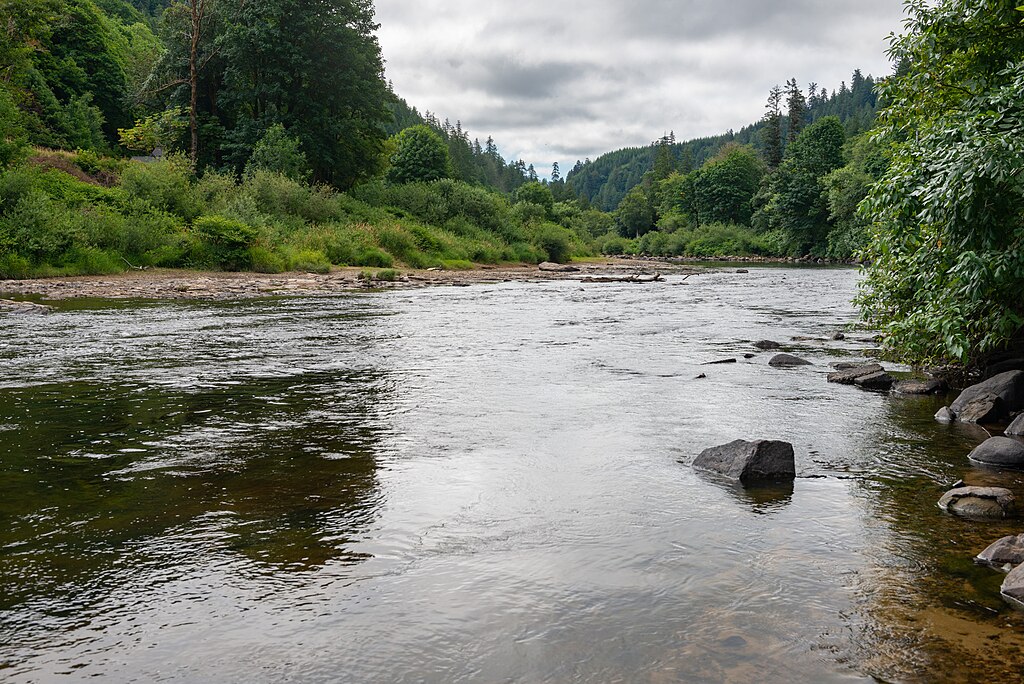
The North Umpqua River is a stunning waterway that originates near Crater Lake in the Cascade Mountains of southwestern Oregon. Flowing westward for approximately 110 miles, it merges with the South Umpqua River near Roseburg to form the main stem Umpqua River. The North Umpqua is renowned for its crystal-clear waters, exceptional fishing, and exhilarating whitewater.
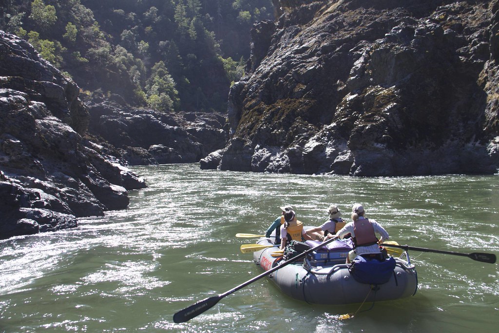
Paddlers can enjoy a variety of experiences on the North Umpqua, with the most popular sections found within the 33.8-mile Wild and Scenic River corridor. The river offers a range of difficulty from Class II to IV rapids, making it suitable for intermediate to advanced paddlers. Key whitewater sections include Boulder Flat to Gravel Bin (15.3 miles, Class III-IV) and Gravel Bin to Bogus Creek (Class II-III). The best time for whitewater rafting is typically May through early July when snowmelt provides optimal water levels. However, the river's consistent flow allows for extended paddling seasons, with some sections open from November through June.
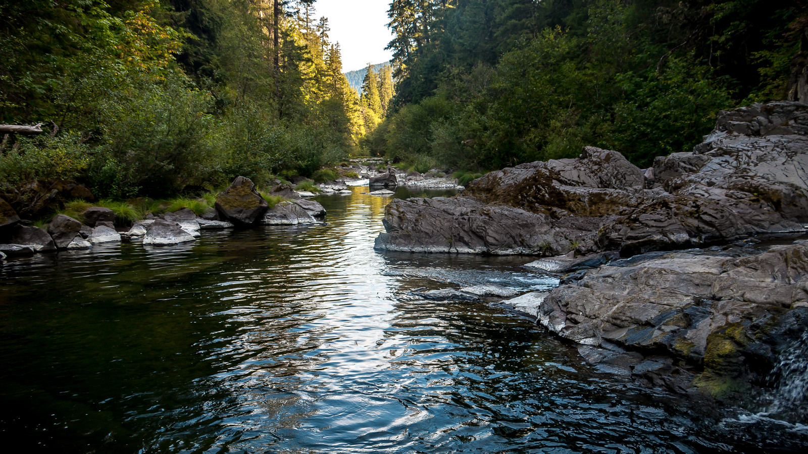
The North Umpqua flows through a lush, forested landscape on the western slopes of the Cascades. The river corridor is home to diverse wildlife, including black bears, elk, and osprey. It's also famous for its runs of steelhead and salmon, attracting anglers from around the world. Notable landmarks include Toketee Falls, a spectacular 113-foot waterfall on a tributary, and the unique geological formation at Colliding Rivers, where the Little River joins the North Umpqua.
The 79-mile North Umpqua Trail parallels the river, offering hikers and mountain bikers scenic vistas and access points. Primary access points include Boulder Flat, Horseshoe Bend, Gravel Bin, and Susan Creek, all accessible from Highway 138. The nearest major town is Roseburg, about 40 miles west of the Wild and Scenic section.
Historically, the North Umpqua was vital to Native American tribes and later played a role in Oregon's timber industry. Today, it's prized for its recreational opportunities and natural beauty.
Safety considerations include cold water temperatures year-round and the presence of numerous Class III-IV rapids. Some sections have seasonal closures, and permits may be required for commercial trips. For those seeking a multi-day adventure, the full 33.8-mile Wild and Scenic section can be paddled over 2-3 days, with several campgrounds available along the route. This iconic Oregon river offers a perfect blend of scenic beauty and thrilling whitewater for paddlers looking to experience the best of the Pacific Northwest.
Water access, boat ramps & amenities
Learn how to get on North Umpqua River. Uncover great paddling access points, boat ramps, and all the facilities you need for an unforgettable day on the water. Some locations shown may border or include private property. Always check property boundaries and applicable regulations before visiting. PaddleWays's Public & Private Land layer can help you plan your access with confidence.
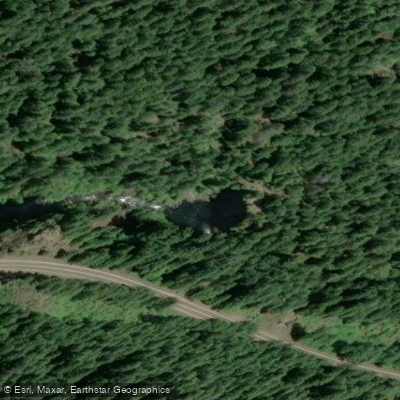
Toketee Falls Recreation Area
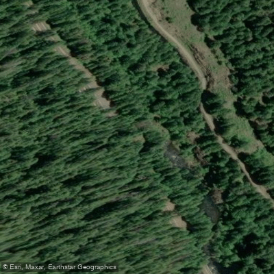
North Umpqua Highway Access
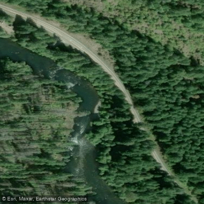
Island Campground Access
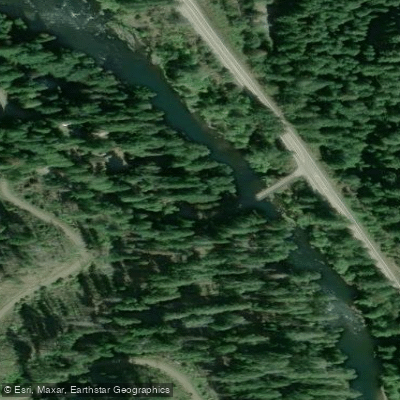
Mott Trailhead Access
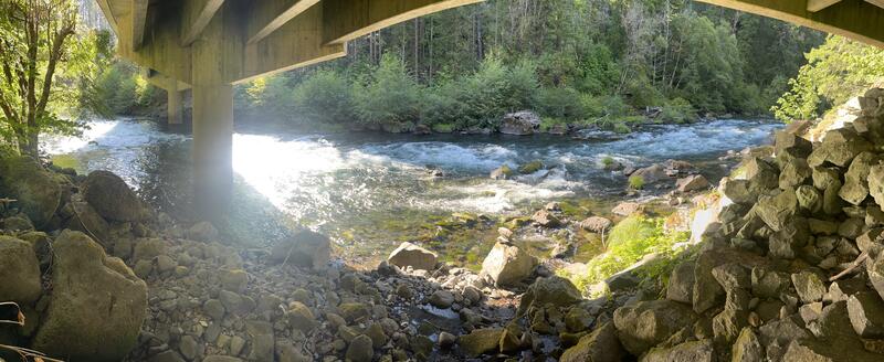
North Umpqua Trail Access
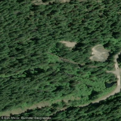
Toketee Falls Trail Access
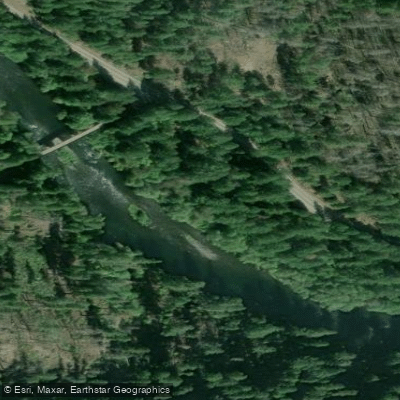
Apple Creek Campground Access
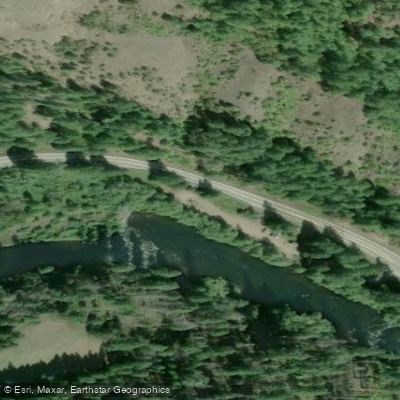
Gravel Bin Access
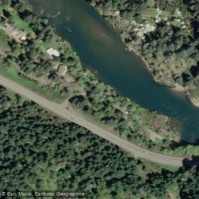
Colliding Rivers County Park Access
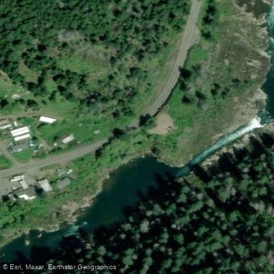
The Narrows Wayside Access
Paddle smarter with real-time insights
Whether you're en route and conditions shift or you're looking for the best spot based on current flows, we enable you to make informed decisions on the fly.








Find Places to Paddle

Over 400,000 Places to Paddle
Every user gets free access to launch points, boat ramps, and public property parcels.


Water and weather conditions (10 day forecast)
See the best times to paddle North Umpqua River and check the forecast before you go.
N.UMPQUA R ABV WHITE MULE CK, NR TOKETEE FALLS, OR
All Flow Stations
Paddling near North Umpqua River
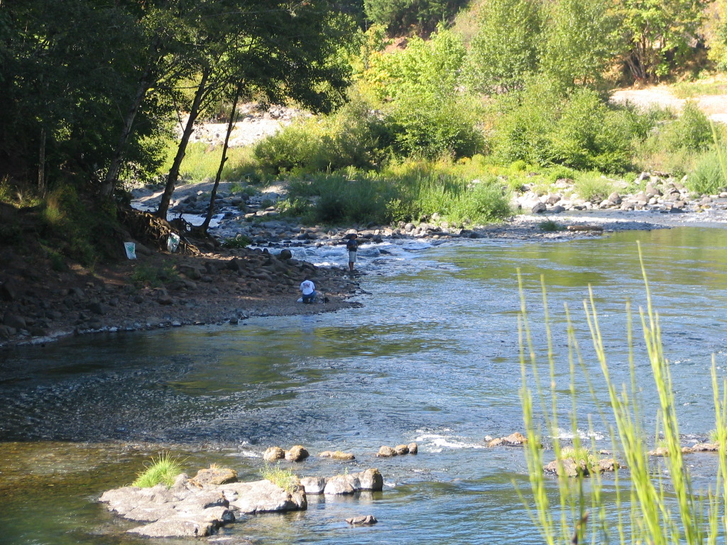
Explore Oregon waters
Top paddling waters
Popular Cities
Loading popular cities...
Explore near North Umpqua River
Access points
Nearby waters
More in Oregon

Smarter Paddling Starts in the App.
Paddleways gives you everything you need to plan smarter, paddle better, and own every trip from first launch to takeout.