Williamson River
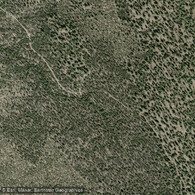
Williamson River
- Boat Ramps
- 3
- Access Points
- 6
- Campsites
- 7
The Williamson River originates in the Fremont-Winema National Forest of south-central Oregon, flowing northward through Klamath Marsh before turning south to join Upper Klamath Lake. This 100-mile waterway is a major tributary of the Klamath River system, with Spring Creek serving as its primary inflow. Paddlers can experience diverse sections ranging from placid marsh waters to more technical rapids.
The upper reaches near Kirk offer a unique high desert landscape with tannin-colored waters exiting Klamath Marsh. Downstream, the river alternates between calm stretches and Class II-III rapids, culminating in the challenging Class III-IV drops of The Brewery section.
Popular paddling routes include the 10-mile stretch from Collier Memorial State Park to Chiloquin, suitable for beginners to intermediate paddlers. More advanced kayakers often tackle the Kirk to Brewery run, which combines scenic flatwater with technical rapids. The Spring Creek to Williamson confluence offers a serene 5-mile paddle showcasing crystal-clear waters and underwater lava formations.
The river's difficulty ranges from flatwater to Class IV, with most sections falling in the Class II-III range. Late spring through early fall provides optimal paddling conditions, though winter trips are possible for experienced cold-water paddlers.
The Williamson's ecosystem supports diverse wildlife, including large Redband trout, various waterfowl, and occasional river otters. The surrounding high desert landscape features ponderosa pines and juniper trees.
Key landmarks include Collier Memorial State Park, the historic logging town of Chiloquin, and the distinctive underwater lava formations near the Spring Creek confluence. Primary access points are found at Collier Memorial State Park, Kirk, and various locations near Chiloquin, all within an hour's drive of Klamath Falls.
Historically significant to the Klamath Tribes, the Williamson River played a crucial role in their traditional fishing and gathering practices. Today, it remains an important resource for both recreation and local agriculture.
Paddlers should be aware of occasional logjams, especially in upper sections, and rapid water level changes due to irrigation practices. Multi-day trips are possible, with numerous camping opportunities along the banks, allowing for extended exploration of this scenic Oregon waterway.
Water access, boat ramps & amenities
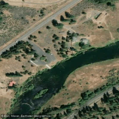
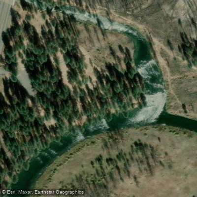
Learn how to get on Williamson River. Uncover great paddling access points, boat ramps, and all the facilities you need for an unforgettable day on the water. Some locations shown may border or include private property. Always check property boundaries and applicable regulations before visiting. PaddleWays's Public & Private Land layer can help you plan your access with confidence.
Paddle smarter with real-time insights
Whether you're en route and conditions shift or you're looking for the best spot based on current flows, we enable you to make informed decisions on the fly.








Find Places to Paddle

Over 400,000 Places to Paddle
Every user gets free access to launch points, boat ramps, and public property parcels.


Water and weather conditions (10 day forecast)
See the best times to paddle Williamson River and check the forecast before you go.
WILLIAMSON RIVER NEAR KLAMATH AGENCY, OR
All Flow Stations
Paddling near Williamson River
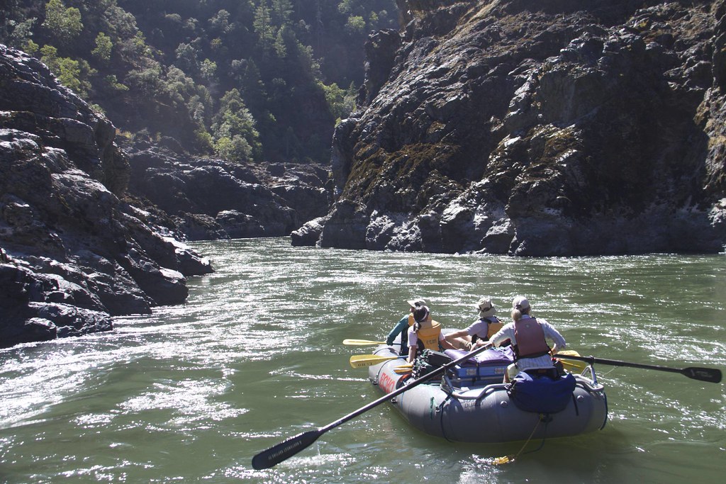
Rogue River

Klamath River
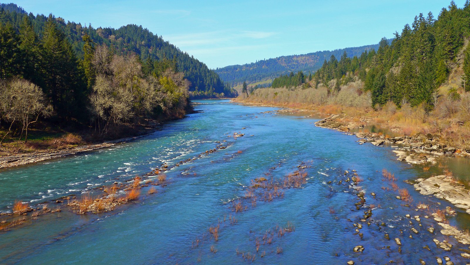
North Umpqua River
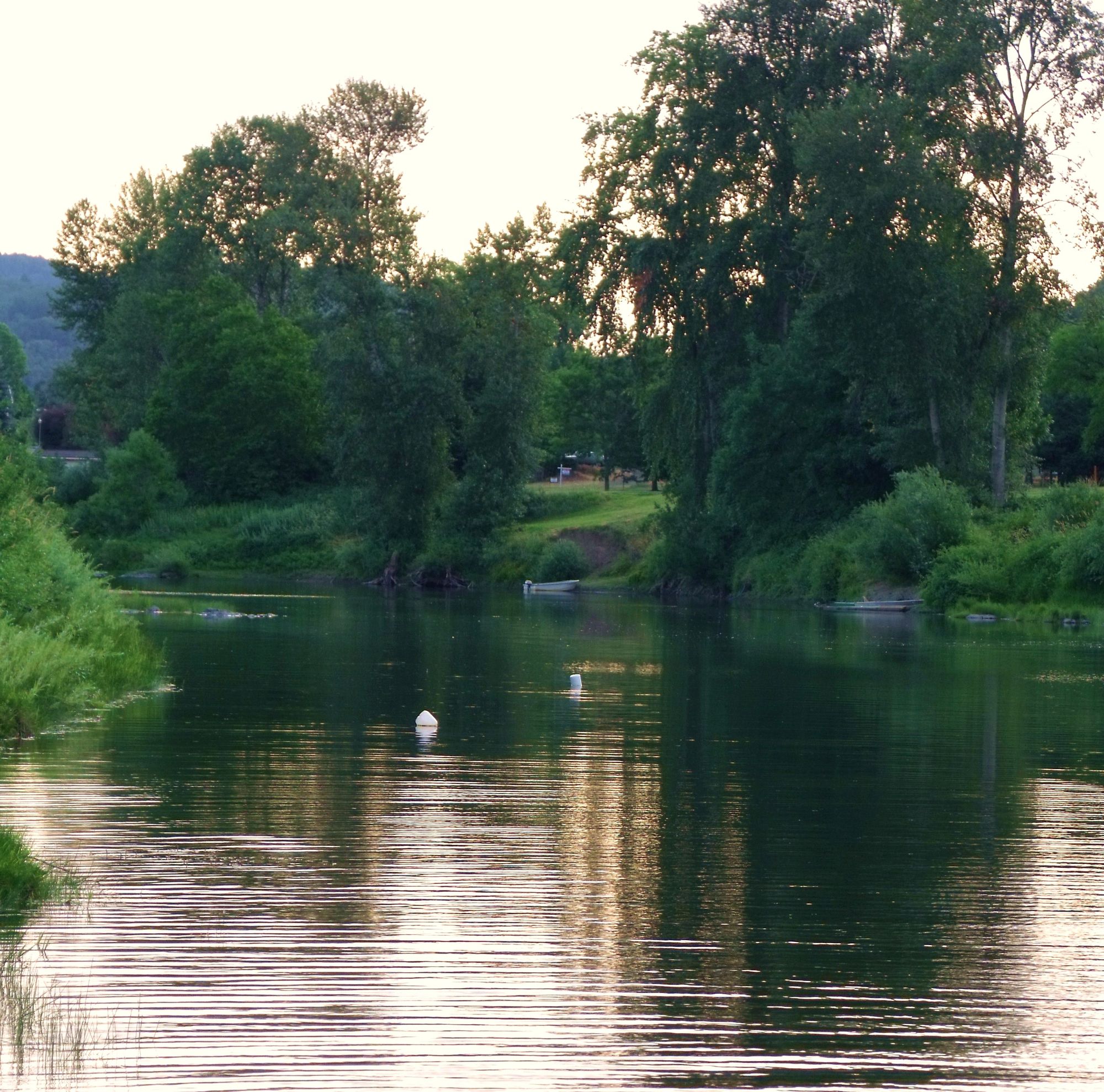
South Umpqua River
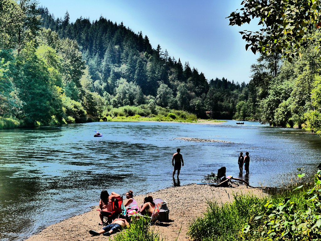
Middle Fork Willamette River
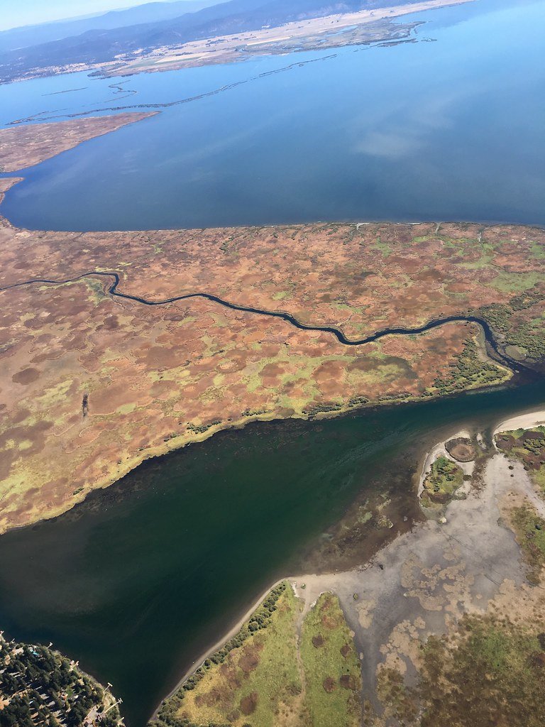
Upper Klamath Lake
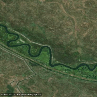
Wood River
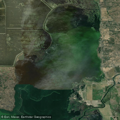
Agency Lake
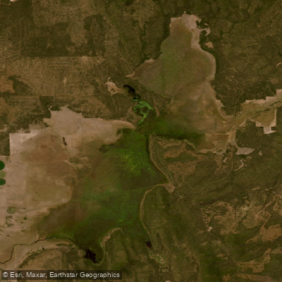
Klamath Marsh
Explore Oregon waters
Top paddling waters
Popular Cities
Loading popular cities...
Explore near Williamson River
Access points
Nearby waters
More in Oregon

Smarter Paddling Starts in the App.
Paddleways gives you everything you need to plan smarter, paddle better, and own every trip from first launch to takeout.