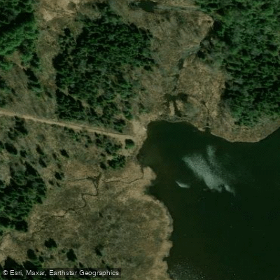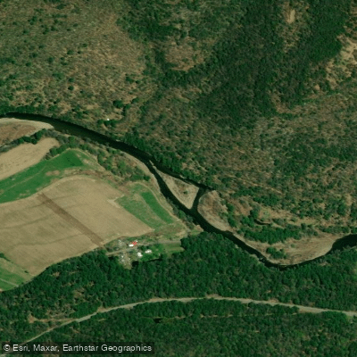
Curated by PaddleWays
RouteClass II–III
- Distance
- 5 mi
- Paddle time
- ~1.5 hrs
- Put-in → take-out
- Rock Run Road Access → Worlds End State Park Access
Notable rapid with pinning hazard on left
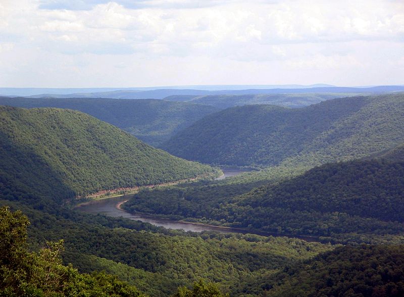
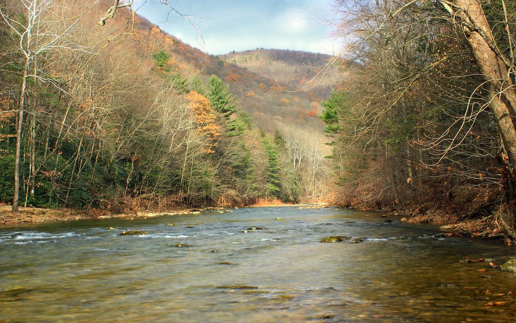
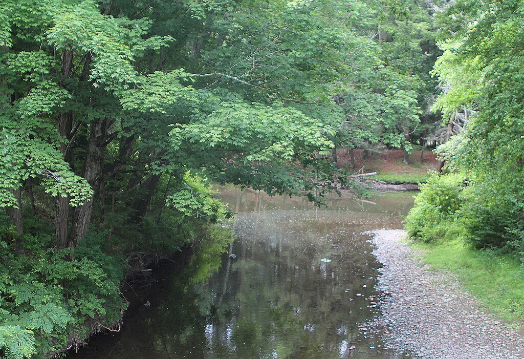
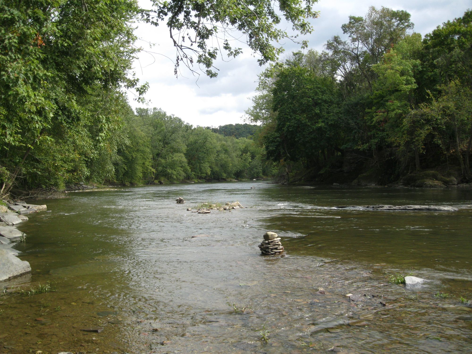
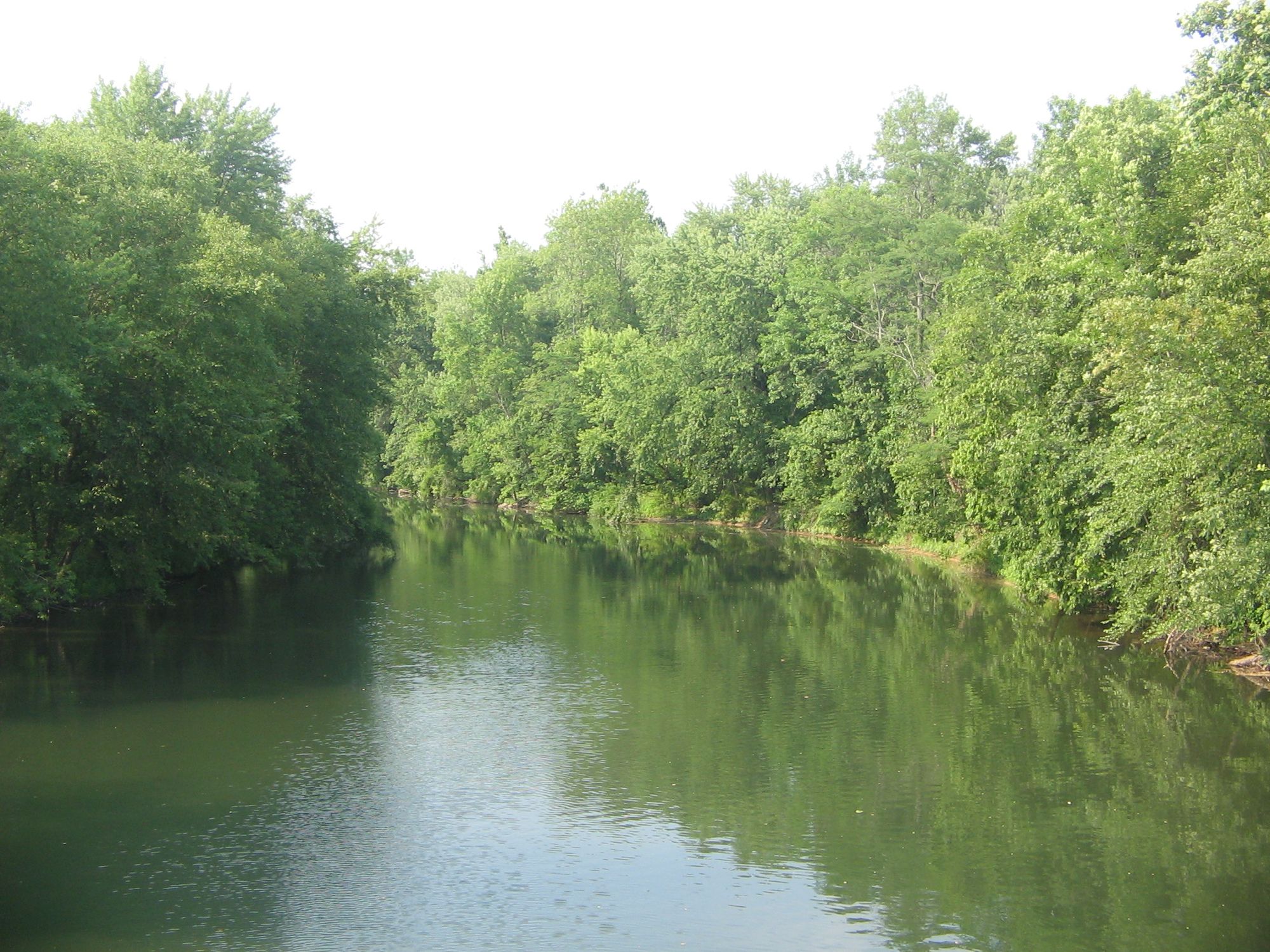
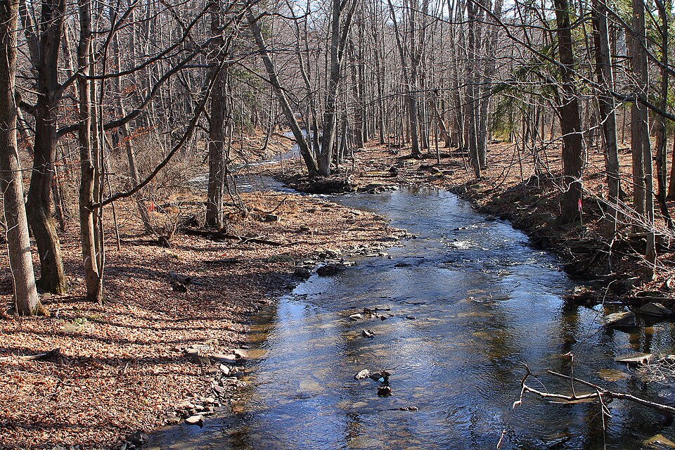
Loyalsock Creek is a scenic 64-mile long tributary of the West Branch Susquehanna River, flowing primarily through Sullivan and Lycoming counties in north-central Pennsylvania. The creek originates in western Wyoming County near the Sullivan County line and flows generally westward before joining the West Branch Susquehanna at Montoursville. Major tributaries include Little Loyalsock Creek and Elk Creek.
Loyalsock Creek offers diverse paddling opportunities, ranging from calm flatwater sections to challenging whitewater rapids. The creek is divided into several distinct paddling sections: 1. Upper Loyalsock (Lopez to US 220): A 10-mile Class I-II stretch suitable for intermediate paddlers. 2. Lower Loyalsock (US 220 to Forksville): The premier 13-mile whitewater run featuring Class I-IV rapids, including the famous Class IV Haystacks rapid. 3. Below Forksville: A more relaxed 10-mile Class I-II section ideal for beginners and families. The overall difficulty ranges from Class I to IV, with the Lower Loyalsock section requiring advanced whitewater skills.
Spring typically offers the best water levels for paddling, though summer rains can provide opportunities as well. The creek flows through the scenic Endless Mountains region, characterized by forested hillsides and occasional rock outcroppings. Wildlife such as bald eagles, osprey, and various trout species can be spotted along the waterway.
Key landmarks include Worlds End State Park, which offers camping and hiking opportunities along the creek, and the historic covered bridge in Forksville. Popular access points include Lopez, US 220, Forksville, and Montoursville, all of which are small towns in the region.
Loyalsock Creek holds cultural significance as part of the homeland of the Susquehannock people. The name Loyalsock is derive from a Native American term meaning middle creek or creek between mountains.
Safety considerations include scouting the Haystacks rapid and being aware of strainers and other obstacles, particularly after high water events. Paddlers should check water levels before trips, as the creek can become too low for enjoyable paddling during dry periods. For multi-day adventures, paddlers can combine creek sections with hiking on the nearby 59-mile Loyalsock Trail, creating unique water-to-trail loop opportunities in the Loyalsock State Forest.
Curated routes
Hand-picked by the PaddleWays team, with put-ins, take-outs, paddle times and the hazards along the way.
RouteClass II–III
RouteClass II–III
RouteClass I–II
RouteClass I–IV
Hazards
Reported by paddlers, with the dams, falls and big rapids on our map. Hazards change with flows and storms, so check them before you launch.
Dam
No details were given with this report.
From the community
Nobody has shared a trip on Loyalsock Creek yet. Paddle it, then tell the next paddler how it went.
See exactly where the public can get on and off the river. Launch points and boat ramps are paired with PaddleWays' public land data so you know where you can legally land.
Public shoreline
29%of the river's shoreline is public
Most of the riverbank is private. Launch, land and camp only at public access points.
Flows, weather and a route-by-route verdict, so you know which stretch of the Loyalsock Creek is worth paddling today.
Live flows, marked hazards and fresh trip reports from paddlers who were just on the water, all in one place.





Every user gets free access to launch points, boat ramps, and public property parcels.

Loading popular cities...
PaddleWays gives you everything you need to plan smarter, paddle better, and own every trip from first launch to takeout.