Barrington River
- Saltwater
- Tidal river
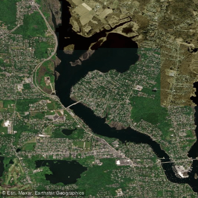
Barrington River
- Saltwater
- Tidal river
- Sq. miles
- 0.7
- Boat Ramps
- 2
- Access Points
- 0
- Campsites
- 0
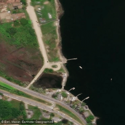
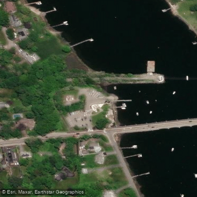
The Barrington River is a tidal river in Barrington, Rhode Island, flowing into Hundred Acre Cove and ultimately Narragansett Bay. It is a saltwater estuary characterized by a broad, shallow cove to the north and a narrower river channel to the south. The primary public access for paddlers is the Walker Farm Public Boat Ramp, which provides a hard-surface ramp and a gravel beach suitable for hand-carried craft like kayaks, canoes, and paddleboards. This ramp has a parking lot with space for trailers. A secondary, less developed access point is the Wamsetta Avenue town right-of-way, designated for hand-carry launching only. The Barrington Commuter Rail Station is also a possible launch point farther south along the river.
Paddlers must plan their trips around significant tidal currents. The tide runs very strongly through the narrow sections of the river, particularly under bridges like the Massasoit Avenue bridge, making these areas treacherous for small boats. Currents can shift quickly from slack water to very strong flows, so caution is essential near any bridge. The river provides access to two distinct environments. Heading north from the Walker Farm ramp leads into the expansive, shallow Hundred Acre Cove, a large tidal estuary containing several small marsh islands and a peninsula called "The Tongue." This area is largely protected open space. Heading south follows the Barrington River as it narrows and winds through countryside before meeting the Warren River, which leads to Narragansett Bay.
The area is ecologically significant as part of the third-largest salt marsh estuary in Rhode Island. It supports important breeding populations of birds like the clapper rail and saltmarsh sparrow and is the site of the only known breeding population of diamondback terrapins in the state. Paddlers should be mindful of wildlife, especially nesting areas. The best seasons for paddling are generally from spring through fall, with March through November cited as a good window. The site is adjacent to the East Bay Bike Path. The overall paddling experience is suitable for beginners in the protected cove, but the strong tidal currents in the river channel require greater skill and careful timing.
Water access, boat ramps & amenities
Learn how to get on Barrington River. Uncover great paddling access points, boat ramps, and all the facilities you need for an unforgettable day on the water. Some locations shown may border or include private property. Always check property boundaries and applicable regulations before visiting. PaddleWays's Public & Private Land layer can help you plan your access with confidence.
Paddle smarter with real-time insights
Whether you're en route and conditions shift or you're looking for the best spot based on current flows, we enable you to make informed decisions on the fly.








Find Places to Paddle

Over 400,000 Places to Paddle
Every user gets free access to launch points, boat ramps, and public property parcels.


Tides, wind & water conditions (10 day forecast)
On open water, wind and tide matter as much as the weather. See the best times to paddle Barrington River and check the marine forecast before you launch.
Loading tide predictions…
Paddling near Barrington River

Taunton River

Charles River
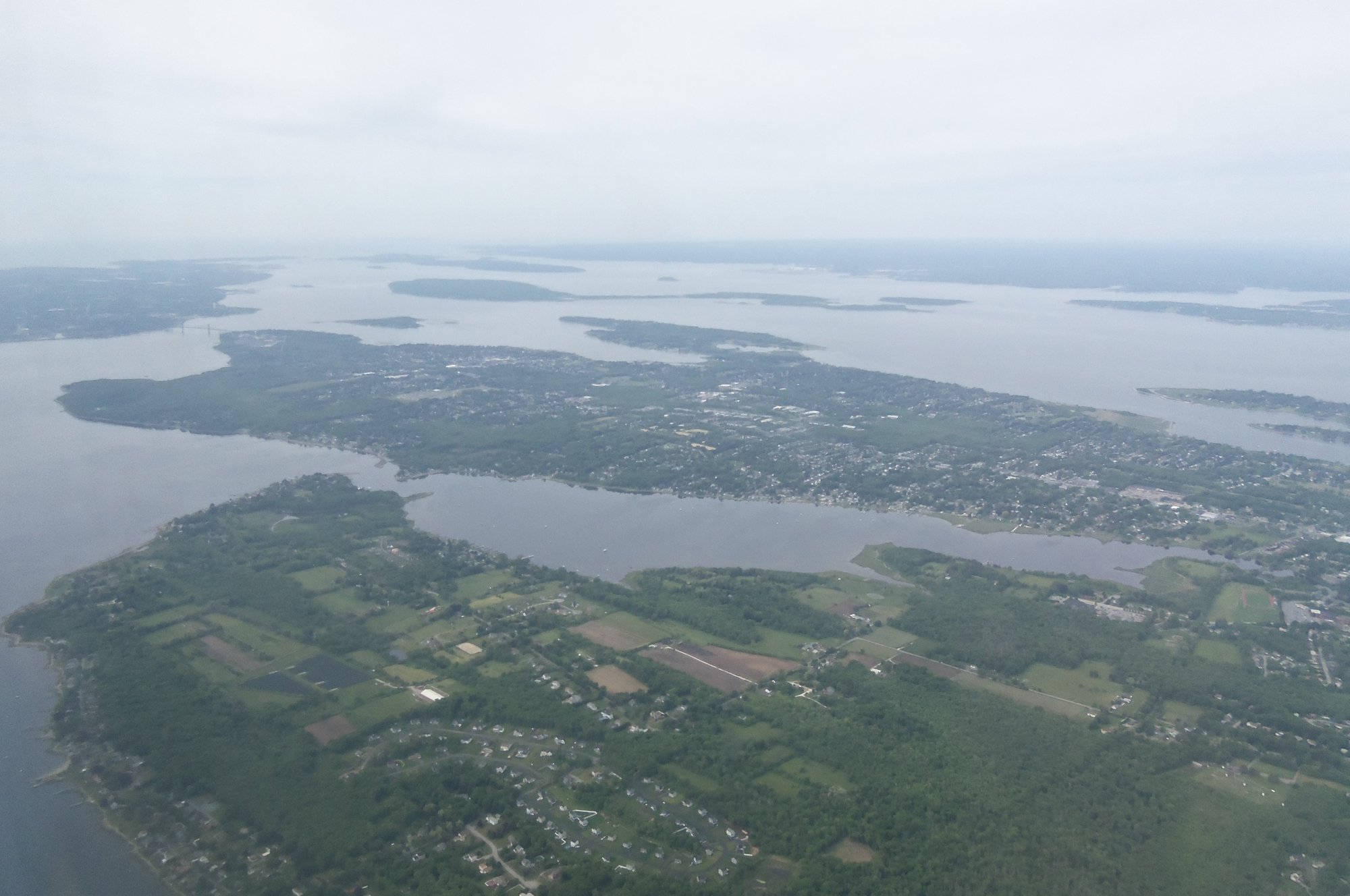
Narragansett Bay

Wachusett Reservoir
Clear River
Mount Hope Bay

Sudbury River
Pawcatuck River
Sakonnet River

Assabet River
Explore Rhode Island waters
Top paddling waters
Popular Cities
Loading popular cities...
Explore near Barrington River
Access points
Nearby waters
More in Rhode Island

Smarter Paddling Starts in the App.
Paddleways gives you everything you need to plan smarter, paddle better, and own every trip from first launch to takeout.