Assabet River

Assabet River
- Boat Ramps
- 15
- Access Points
- 33
- Campsites
- 1
The Assabet River is a scenic waterway located in eastern Massachusetts, flowing approximately 34 miles from its headwaters in Westborough to its confluence with the Sudbury River in Concord, where together they form the Concord River. This picturesque river offers paddlers a diverse range of experiences, from peaceful flatwater stretches to occasional mild rapids, making it an excellent destination for kayakers and canoeists of various skill levels.
The Assabet is primarily characterized by its flatwater sections, with several popular paddling routes. Notable segments include the 5-mile stretch from Gleasondale to the Assabet River National Wildlife Refuge, offering a serene journey through undeveloped natural areas. Another favored route is the 4-mile paddle from Marlborough to Hudson, which provides a mix of urban and natural landscapes. For those seeking a longer adventure, the 10-mile section from Maynard to Concord presents a more extensive exploration of the river's beauty.
Generally suitable for beginners to intermediate paddlers, the Assabet's difficulty ranges from flatwater to occasional Class I rapids. Most sections are calm enough for novices, while more experienced paddlers can enjoy the subtle challenges presented by the river's gentle current and occasional obstacles. Spring and early summer are ideal times to paddle the Assabet, when water levels are typically higher due to snowmelt and spring rains. However, the river is often navigable well into the fall, offering beautiful foliage views. During periods of low water, particularly in late summer, paddlers should be aware of potential shallow areas and exposed rocks.
The river corridor is home to diverse wildlife, including various turtle species, herons, and other waterfowl. The Assabet River National Wildlife Refuge, spanning portions of the towns of Hudson, Maynard, Stow, and Sudbury, provides critical habitat for numerous plant and animal species and offers excellent wildlife viewing opportunities for paddlers.
Several historic mill towns dot the river's course, including Maynard and Hudson, providing glimpses into the region's industrial past. The river played a significant role in the area's development, powering mills and factories during the Industrial Revolution.
Popular access points include White Pond Road in Stow, Robin Hill Street in Marlborough, and various locations in Hudson and Maynard. The South Bridge Boat House near the confluence with the Sudbury River offers canoe and kayak rentals for those without their own equipment.
Safety considerations include being aware of dam locations and portage points, particularly near Gleasondale and Hudson. Paddlers should also be mindful of occasional fallen trees or other natural obstacles, especially after storms.
While most trips on the Assabet are day excursions, more ambitious paddlers can undertake multi-day journeys by combining sections of the Assabet with portions of the Sudbury and Concord Rivers, creating a comprehensive exploration of this interconnected river system.
The Assabet River stands as a testament to successful conservation efforts, with improved water quality in recent decades making it an increasingly popular recreational resource. Its blend of natural beauty, wildlife, and historical significance offers paddlers a rich and rewarding experience in the heart of eastern Massachusetts.
Water access, boat ramps & amenities
Learn how to get on Assabet River. Uncover great paddling access points, boat ramps, and all the facilities you need for an unforgettable day on the water. Some locations shown may border or include private property. Always check property boundaries and applicable regulations before visiting. PaddleWays's Public & Private Land layer can help you plan your access with confidence.
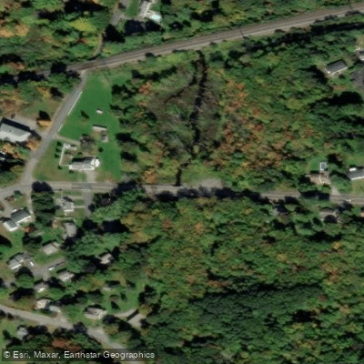
Fisher Street Bridge Access
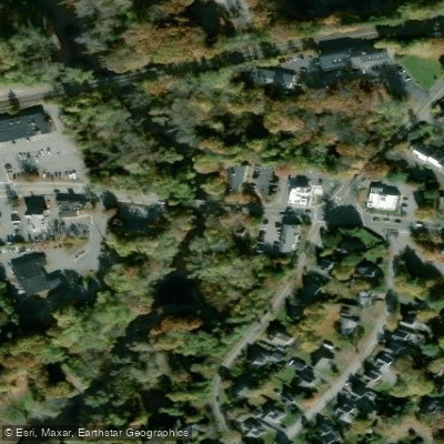
Main Street Bridge Access
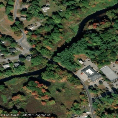
Cox Street Bridge Access
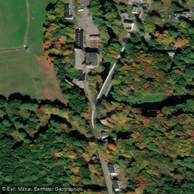
Gleasondale Access
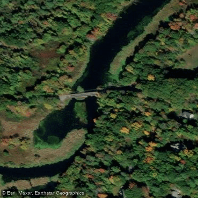
Sudbury Road Bridge Access
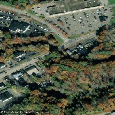
Acton Access
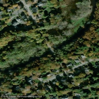
Pine Street Bridge Access
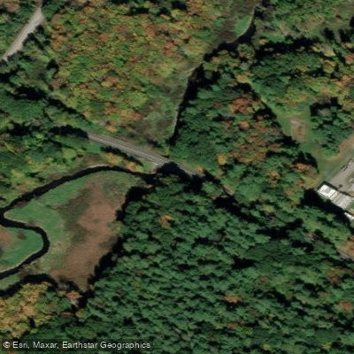
Boundary Street Access
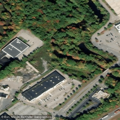
Donald J. Lynch Access
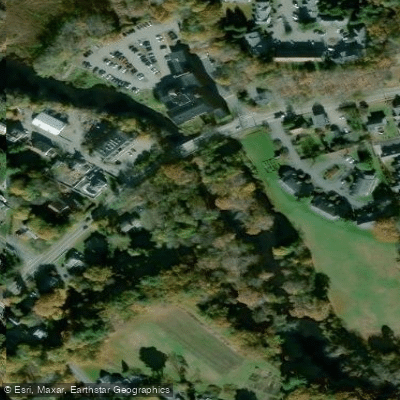
Second Division Brook Access
Paddle smarter with real-time insights
Whether you're en route and conditions shift or you're looking for the best spot based on current flows, we enable you to make informed decisions on the fly.








Find Places to Paddle

Over 400,000 Places to Paddle
Every user gets free access to launch points, boat ramps, and public property parcels.


Water and weather conditions (10 day forecast)
See the best times to paddle Assabet River and check the forecast before you go.
ASSABET RIVER AT MAYNARD, MA
Paddling near Assabet River

Wachusett Reservoir

Massachusetts Bay

Sudbury River

Concord River

Broad Sound

Merrimack River

Charles River
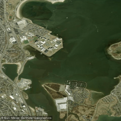
Dorchester Bay
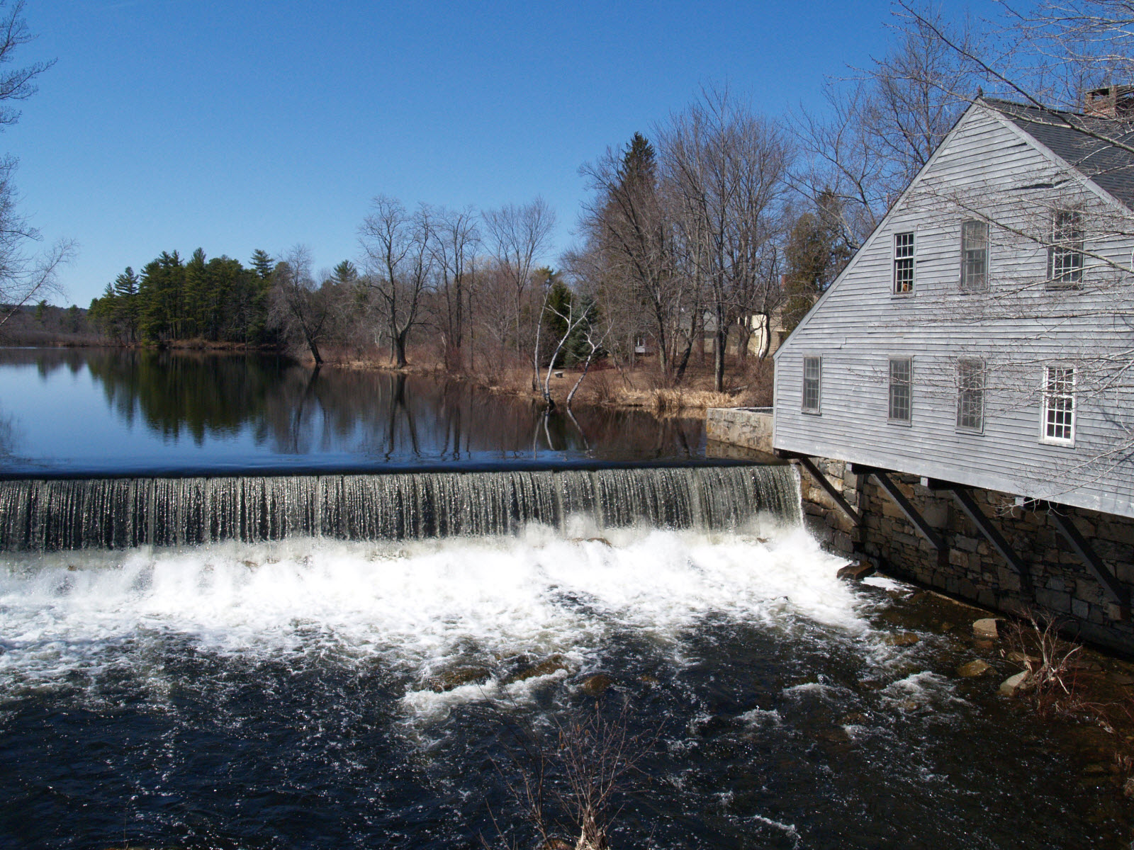
Squannacook River
Explore Massachusetts waters
Top paddling waters
Popular Cities
Loading popular cities...
Explore near Assabet River
Access points
- Riverside Park Chapin Road Bridge Boat Ramp
- Main Street Bridge Boat Ramp
- Cox Street Bridge Boat Ramp
- Boundary Bridge Boat Ramp
- Donald J Lynch Blvd Boat Ramp
- Robin Hill Street Bridge Boat Ramp
- Pine Street Bridge Boat Ramp
- Sudbury Road Bridge Boat Ramp
- Second Division Brook Boat Ramp
- Wachusett Aqueduct Bridge Boat Ramp
- Acton Boat Ramp
- Hudson Center Boat Ramp
- All 118 spots
Nearby waters
More in Massachusetts

Smarter Paddling Starts in the App.
Paddleways gives you everything you need to plan smarter, paddle better, and own every trip from first launch to takeout.