Mount Hope Bay
- Saltwater
- Bay
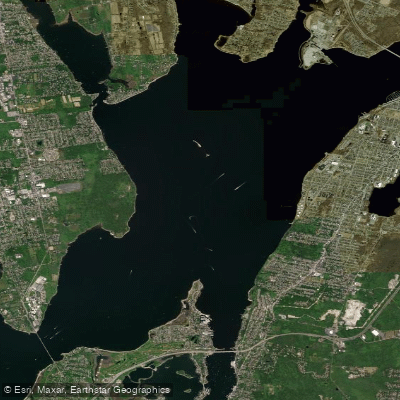
Mount Hope Bay
- Saltwater
- Bay
- Sq. miles
- 9
- Boat Ramps
- 0
- Access Points
- 1
- Campsites
- 1
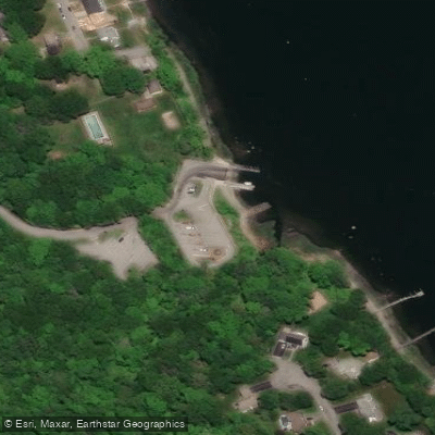
Mount Hope Bay is a shallow, sheltered saltwater bay situated between the eastern shore of Rhode Island and the Bristol Peninsula in Massachusetts, offering a generally protected paddling environment. Launch points include public boat ramps like Marina in Tiverton, Rhode Island, and Swansea Town Beach in Swansea, Massachusetts, which feature parking and direct bay access. Other put-ins are at Narrows Road and Annawamscutt Drive in Bristol, Massachusetts, and a developing kayak launch at the end of Maple Road in Warren, Rhode Island. The bay's character is defined by calm coves, extensive tidal marshes, and open water, with the Bristol Narrows being a key geographical feature connecting to the tidal Kickemuit River estuary. Paddling conditions are typically mild and predictable, making it suitable for beginners, though the open waters can become windy and choppy. A significant hazard is strong tidal currents, particularly under the Mount Hope Bridge, with peak flows noted at 1 to 2 knots during tidal exchange. Paddlers should also be aware of boat traffic, especially near the bridge and channels. The paddling season runs strong from March through November, with spring and fall offering comfortable temperatures and less crowding. Morning paddles often provide the calmest conditions. Wildlife sightings commonly include herons, osprey, and seasonal waterfowl along the marshy shorelines. A recommended route is a 9+ mile round trip paddling south from Narrows Road along the bay's shores, while shorter, sheltered loops are possible within the Bristol Narrows and Kickemuit River area.
Water access, boat ramps & amenities
Learn how to get on Mount Hope Bay. Uncover great paddling access points, boat ramps, and all the facilities you need for an unforgettable day on the water. Some locations shown may border or include private property. Always check property boundaries and applicable regulations before visiting. PaddleWays's Public & Private Land layer can help you plan your access with confidence.
Paddle smarter with real-time insights
Whether you're en route and conditions shift or you're looking for the best spot based on current flows, we enable you to make informed decisions on the fly.








Find Places to Paddle

Over 400,000 Places to Paddle
Every user gets free access to launch points, boat ramps, and public property parcels.


Tides, wind & water conditions (10 day forecast)
On open water, wind and tide matter as much as the weather. See the best times to paddle Mount Hope Bay and check the marine forecast before you launch.
Loading tide predictions…
Paddling near Mount Hope Bay

Taunton River

Charles River
Narragansett Bay
Pawcatuck River

Sudbury River
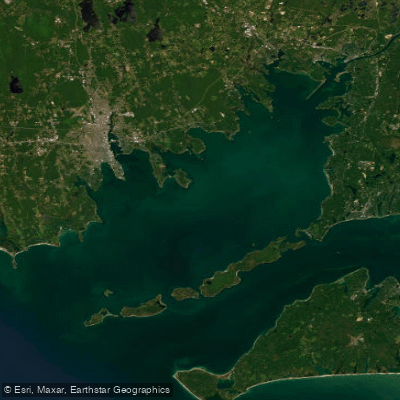
Buzzards Bay
Clear River

Assabet River
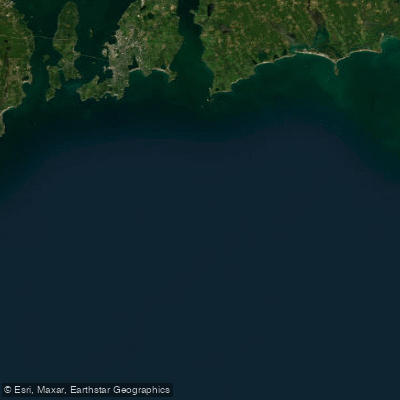
Rhode Island Sound
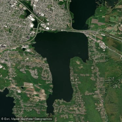
South Watuppa Pond
Explore Rhode Island waters
Top paddling waters
Popular Cities
Loading popular cities...
Explore near Mount Hope Bay
Access points
Nearby waters
More in Rhode Island

Smarter Paddling Starts in the App.
Paddleways gives you everything you need to plan smarter, paddle better, and own every trip from first launch to takeout.