Buzzards Bay
- Saltwater
- Bay
Buzzards Bay
- Saltwater
- Bay
- Sq. miles
- 225
- Boat Ramps
- 20
- Access Points
- 0
- Campsites
- 0
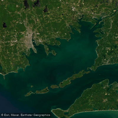
Buzzards Bay is a large coastal bay in Massachusetts offering a diverse paddling environment. The bay's coastline features numerous protected coves, harbors, salt marshes, and rivers, providing options ranging from sheltered beginner routes to exposed coastal journeys with potential for waves and rock gardens. Key public access points include boat ramps and beach launches, such as the state boat ramp off Route 88 in Westport Harbor, Wings Cove near Marion, Barlows Landing in Pocasset Harbor, and the beach at Padnaram Harbor in Dartmouth. Some municipal launches may charge fees or restrict parking for non-residents, so checking local regulations is advised. The Edgewater Street launch in Fairhaven offers a rocky, shallow carry-down access, but caution is needed at low tide, and street flooding can occur at high tide.
Paddling conditions are heavily influenced by tides and wind. Tidal currents are a significant factor, especially near constrictions like the mouth of the Westport River, where planning around the tide stage is crucial. The bay can develop challenging conditions when an outgoing tide opposes a south wind, creating rough water. Fetch across the open bay allows for the buildup of swell, particularly from the southwest, making some shores more exposed. Boat traffic is present, especially in harbors and channels like the Westport River mouth, requiring vigilance. Some areas, like the southern tip of Gooseberry Island, can feature surf zones that complicate landing.
The paddling season is generally considered to run from March through November, though water temperatures in the early and late months require thermal protection like wetsuits or drysuits. The bay's geography includes islands like Bassetts Island, which is a popular destination for a circumnavigation trip from launches near Monument Beach. Wildlife sightings commonly include ospreys, herons, egrets, and terns. The overall character is one of variety, where paddlers can find calm, marshy explorations or seek out more dynamic conditions along the open coast.
Water access, boat ramps & amenities
Learn how to get on Buzzards Bay. Uncover great paddling access points, boat ramps, and all the facilities you need for an unforgettable day on the water. Some locations shown may border or include private property. Always check property boundaries and applicable regulations before visiting. PaddleWays's Public & Private Land layer can help you plan your access with confidence.
Paddle smarter with real-time insights
Whether you're en route and conditions shift or you're looking for the best spot based on current flows, we enable you to make informed decisions on the fly.








Find Places to Paddle

Over 400,000 Places to Paddle
Every user gets free access to launch points, boat ramps, and public property parcels.


Tides, wind & water conditions (10 day forecast)
On open water, wind and tide matter as much as the weather. See the best times to paddle Buzzards Bay and check the marine forecast before you launch.
Loading tide predictions…
Paddling near Buzzards Bay

Taunton River
Pawcatuck River

Charles River

Sudbury River
Rhode Island Sound
Clear River
Turner Pond
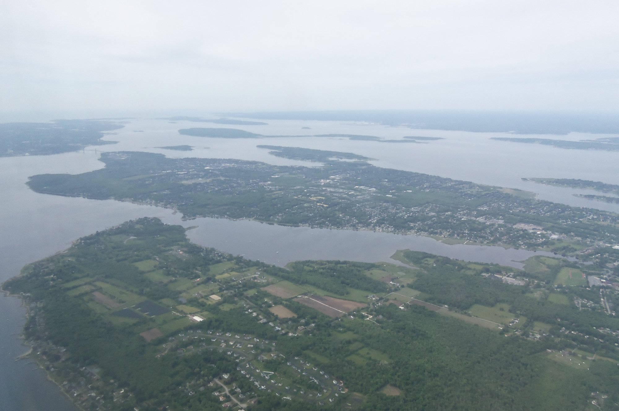
Narragansett Bay
South Watuppa Pond
Explore Massachusetts waters
Top paddling waters
Popular Cities
Loading popular cities...
Explore near Buzzards Bay
Access points
- Clarks Cove Boat Ramp
- Hen Cove Beach Boat Ramp
- Barlows Landing Beach Boat Ramp
- Monument Beach Marina Boat Ramp
- Old Landing Wharf Boat Ramp
- Meganesett Harbor Boat Ramp
- Megansett Beach Boat Ramp
- Red Brook Harbor Boat Ramp
- Electric Avenue Beach Boat Ramp
- Swifts Beach Boat Ramp
- Gifford Street Boat Ramp
- East Rodney French Boulevard Boat Ramp
- All 46 spots
Nearby waters
More in Massachusetts

Smarter Paddling Starts in the App.
Paddleways gives you everything you need to plan smarter, paddle better, and own every trip from first launch to takeout.