South Watuppa Pond
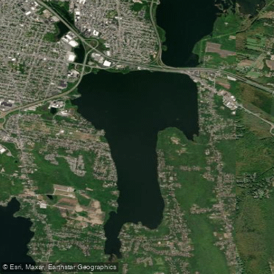
South Watuppa Pond
- Boat Ramps
- 1
- Access Points
- 1
- Campsites
- 0
South Watuppa Pond, located on the border of Massachusetts and Rhode Island, is a popular destination for kayak fishing enthusiasts. The lake is known for its bass population, particularly smallmouth bass, with 16-inch specimens considered a good catch. Anglers can expect to find both largemouth and smallmouth bass, as well as pickerel, with some reaching impressive sizes.
The pond's conditions can vary, with wind playing a significant role in the paddling experience. On calm days, the water can be quite placid, but strong westerly gusts can create challenging waves, especially on the northeastern end of the lake. Paddlers should be prepared for changing conditions throughout the day.
Water temperatures tend to warm up as the day progresses, which can affect fish activity. Larger fish become more active in the afternoon, particularly after noon. This pattern suggests that late morning to early evening might be the most productive time for fishing-oriented paddling trips.
The lake's geography includes deeper areas where drop-shot fishing techniques have proven effective. The northeastern section of the pond seems to be a popular spot among anglers, though it can be more exposed to wind and waves.
The lake hosts kayak fishing tournaments, indicating that there are suitable launch sites for paddlers. However, specific access points and facilities for paddlers are not well-documented.
South Watuppa Pond's aesthetic qualities and wildlife viewing opportunities beyond fish species are not widely known. Similarly, details about water quality, exact size, or historical significance are not readily available.
Paddlers planning a trip to South Watuppa Pond should be prepared for potentially variable weather conditions and should consider timing their visit to coincide with the warmer afternoon hours for the best fishing opportunities.
Water access, boat ramps & amenities
Learn how to get on South Watuppa Pond. Uncover great paddling access points, boat ramps, and all the facilities you need for an unforgettable day on the water. Some locations shown may border or include private property. Always check property boundaries and applicable regulations before visiting. PaddleWays's Public & Private Land layer can help you plan your access with confidence.
Paddle smarter with real-time insights
Whether you're en route and conditions shift or you're looking for the best spot based on current flows, we enable you to make informed decisions on the fly.








Find Places to Paddle

Over 400,000 Places to Paddle
Every user gets free access to launch points, boat ramps, and public property parcels.


Water and weather conditions (10 day forecast)
See the best times to paddle South Watuppa Pond and check the forecast before you go.
No forecast data available.
Paddling near South Watuppa Pond

Taunton River

Charles River
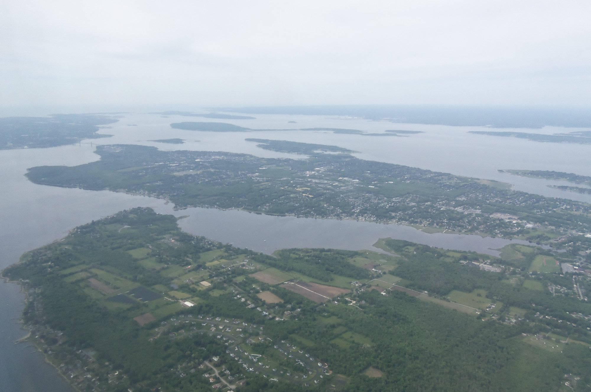
Narragansett Bay
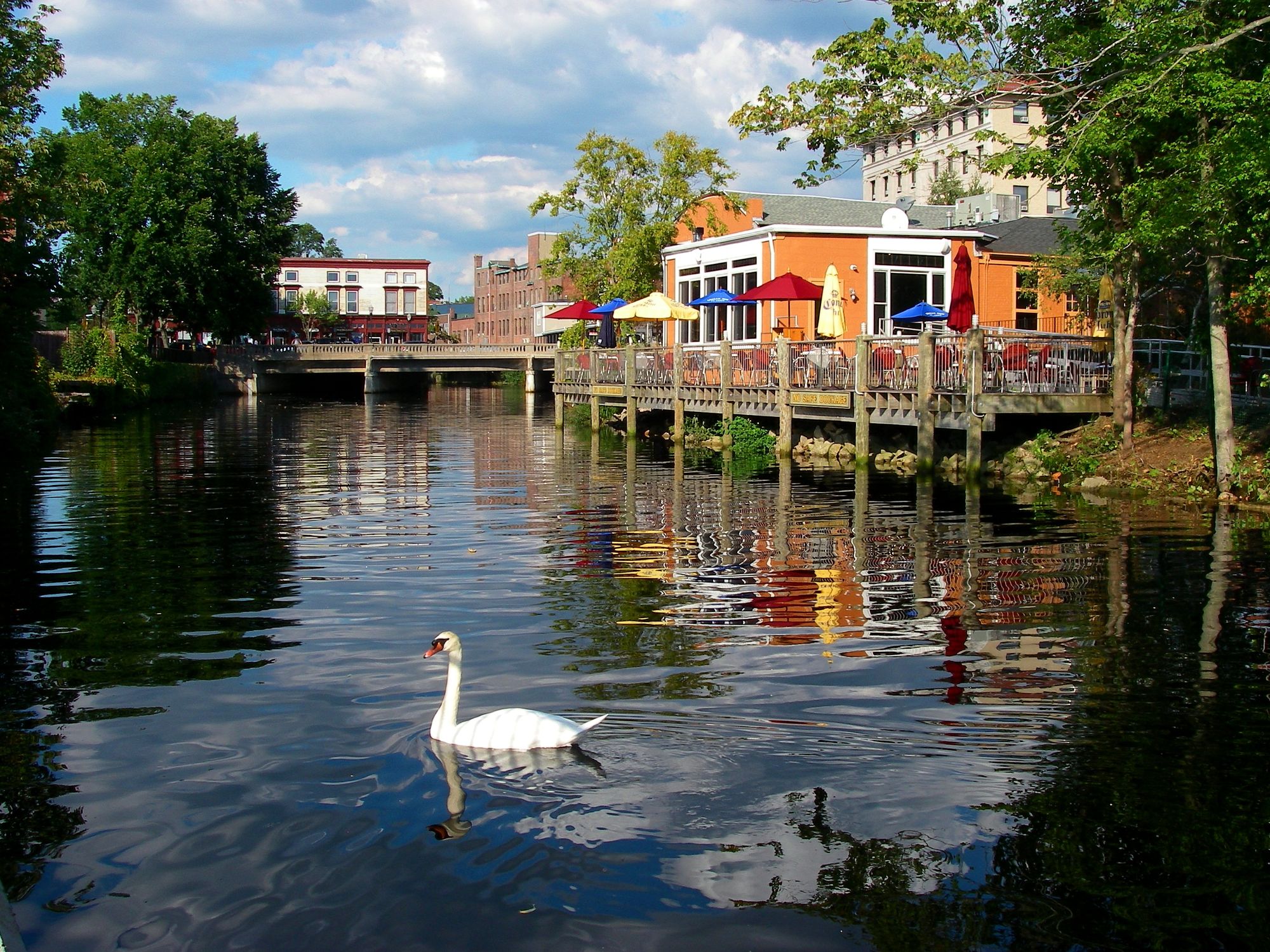
Pawcatuck River

Sudbury River
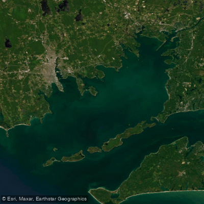
Buzzards Bay
Clear River

Assabet River
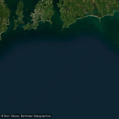
Rhode Island Sound
Explore Massachusetts waters
Top paddling waters
Popular Cities
Loading popular cities...
Explore near South Watuppa Pond
Access points
- South Watuppa Pond Boat Ramp
- Hwy Quequechan St Bridge
- St 24 Bridge
- St 81 Plymouth Ave Bridge
- Water Bread Cheese Brook Bridge
- Comb St 79 Taunton Rive Bridge
- Water E Br Westport Riv Bridge
- Water E Br Westport Riv Bridge
- Water Westport River Bridge
- Water Lees River Bridge
- Water Shingle Isl River Bridge
- Water Lees River Bridge
Nearby waters
More in Massachusetts

Smarter Paddling Starts in the App.
Paddleways gives you everything you need to plan smarter, paddle better, and own every trip from first launch to takeout.