Curated by PaddleWays
RouteFlatwater
- Distance
- 3.2 mi
- Paddle time
- ~1 hr
- Put-in → take-out
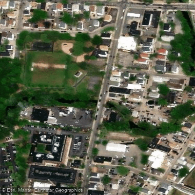
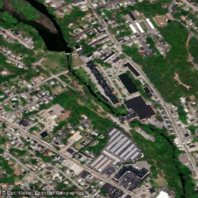
- Valley Street Access → Collier Point Park Boat Ramp
The Woonasquatucket River, located in Rhode Island, offers a diverse paddling experience that ranges from serene flatwater sections to urban adventures through the heart of Providence. This river system, which includes several reservoirs and ponds, provides opportunities for paddlers of all skill levels.
The upper reaches of the Woonasquatucket feature tranquil paddling on Stillwater Pond and the Woonasquatucket Reservoir, also known as Stump Pond. These areas offer scenic flatwater trips suitable for beginners and families. The Stillwater Pond to Smithfield Viaduct section takes paddlers through the "narrows of the Woonasquatucket," showcasing the natural beauty of the watershed's less developed areas.
As the river flows towards Providence, it transforms into an urban waterway, providing a unique perspective of the city's industrial heritage and modern development. The downtown Providence paddle, starting from Valley Street, offers an engaging journey past repurposed mill buildings and under historic bridges. This section, while still considered flatwater, introduces paddlers to swifter currents and tidal influences as the river approaches its confluence with the Moshassuck River to form the Providence River.
The Woonasquatucket River Watershed Council (WRWC) plays a crucial role in promoting and preserving the river. They offer guided paddle tours from June through September, providing equipment and expertise for those new to the river. These tours range from short, beginner-friendly trips at Riverside Park to longer excursions on various sections of the river and its reservoirs.
Wildlife enthusiasts may spot a variety of birds and even striped bass in the lower, tidal sections of the river. The watershed's flora transitions from more natural settings in the upper reaches to urban greenspaces along the Providence section.
Paddling the Woonasquatucket is generally best from late spring through early fall. Summer offers warm temperatures and community events, such as free paddle programs at Riverside Park. However, water levels can be lower in late summer, particularly in the shallower sections above downtown Providence.
Safety considerations include being aware of tidal influences in the lower river, watching for shallow areas, and respecting the urban environment. Paddlers should also be prepared for portages around dams, particularly when transitioning between different sections of the river.
The Woonasquatucket River holds significant historical and cultural importance, having played a vital role in the region's industrial development. Today, it serves as a recreational asset and a symbol of urban renewal, with ongoing efforts to improve water quality and riverside amenities.
While multi-day trips are not common on the Woonasquatucket due to its relatively short length, the river's diverse sections allow paddlers to experience a range of environments in a single day, from the peaceful Stump Pond to the bustling heart of Providence.
Access points are numerous, with popular put-ins at Stillwater Pond, the west side of Woonasquatucket Reservoir, Valley Street in Providence, and Riverside Park. These access points allow paddlers to easily customize their trips based on skill level and interests.
The Woonasquatucket River offers a microcosm of Rhode Island's natural and urban landscapes, providing paddlers with a unique blend of wilderness and city experiences all within a compact and accessible waterway.
Curated routes
Hand-picked by the PaddleWays team, with put-ins, take-outs, paddle times and the hazards along the way.
RouteFlatwater
Hazards
No paddler has reported a hazard here yet, so these are the dams, falls and big rapids on our map. Hazards change with flows and storms, so check them before you launch.
From the community
Nobody has shared a trip on Woonasquatucket River yet. Paddle it, then tell the next paddler how it went.
See exactly where the public can get on and off the river. Launch points and boat ramps are paired with PaddleWays' public land data so you know where you can legally land.
Public shoreline
5%of the river's shoreline is public
Most of the riverbank is private. Launch, land and camp only at public access points.
Flows, weather and a route-by-route verdict, so you know which stretch of the Woonasquatucket River is worth paddling today.
Live flows, marked hazards and fresh trip reports from paddlers who were just on the water, all in one place.





Every user gets free access to launch points, boat ramps, and public property parcels.
Loading popular cities...
PaddleWays gives you everything you need to plan smarter, paddle better, and own every trip from first launch to takeout.