Richard B Russell Lake
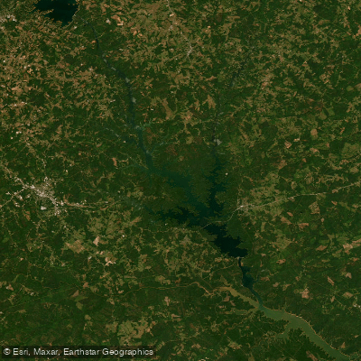
Richard B Russell Lake
- Boat Ramps
- 27
- Access Points
- 35
- Campsites
- 7
Richard B. Russell Lake spans 26,650 acres along the Georgia-South Carolina border, offering 540 miles of undeveloped shoreline. Created in 1985 by damming the Savannah River, this reservoir is managed by the U.S. Army Corps of Engineers primarily for flood control. The lake's pristine, natural setting provides a wilderness-like paddling experience, with abundant wildlife and limited development visible from the water.
The lake averages 40 feet deep, with a maximum depth of 165 feet. Water levels typically fluctuate only 3-5 feet below full pool, providing more stable conditions compared to nearby lakes. Paddlers should be aware of submerged timber, particularly in creek arms and coves, which can pose hazards but also create excellent fish habitat.
Popular access points include Calhoun Falls State Park on the South Carolina side and Richard B. Russell State Park in Georgia. Both offer boat ramps, camping, and other amenities. The lake's numerous creek arms like Allen Creek and Deal Creek provide sheltered paddling opportunities and scenic exploration.
Fishing is a major draw, with largemouth bass, crappie, bream, catfish and other species abundant. Spring and early summer are prime seasons for both fishing and paddling, though the lake's relatively stable water levels make it suitable year-round.
Paddlers should note that private development is prohibited along most of the shoreline due to a 300-foot buffer zone. This preserves the lake's natural character but limits facilities outside of designated recreation areas. Pack accordingly and practice Leave No Trace principles.
The lake's position between Lake Hartwell to the north and J. Strom Thurmond Lake to the south creates opportunities for extended paddling trips connecting multiple reservoirs. However, paddlers attempting this should be well-prepared for long distances between access points.
Water access, boat ramps & amenities
Learn how to get on Richard B Russell Lake. Uncover great paddling access points, boat ramps, and all the facilities you need for an unforgettable day on the water. Some locations shown may border or include private property. Always check property boundaries and applicable regulations before visiting. PaddleWays's Public & Private Land layer can help you plan your access with confidence.
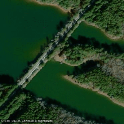
Calhoun Falls Access
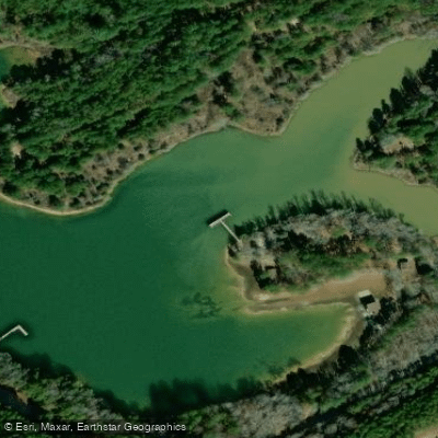
Blue Hole Recreation Area Access
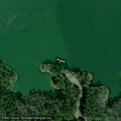
Latimer Pier Access
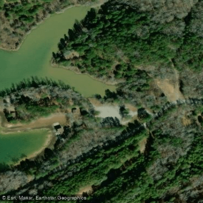
Blue Hole Recreation Area Access
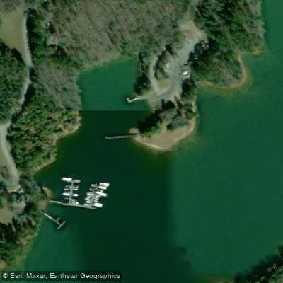
Calhoun Falls State Park Access
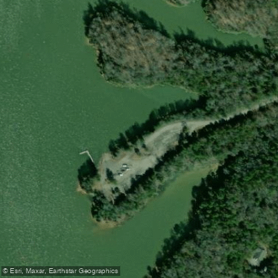
Felkel Access Area Pier Access
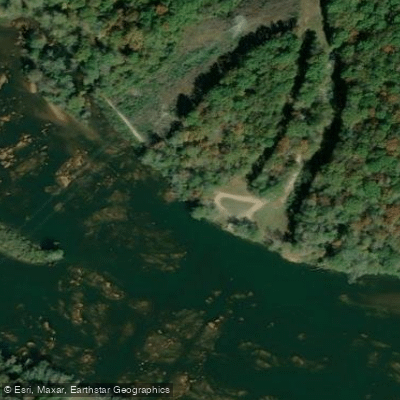
SC River Recreation Bank Access
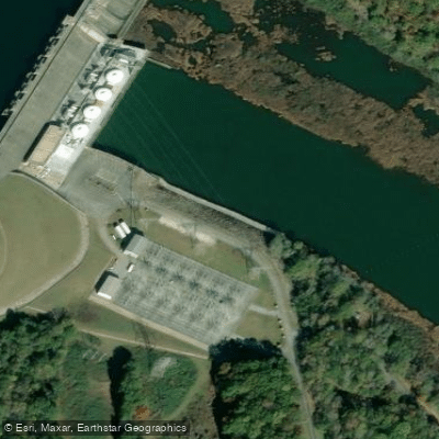
Hartwell Dam Tailwater Access
Paddle smarter with real-time insights
Whether you're en route and conditions shift or you're looking for the best spot based on current flows, we enable you to make informed decisions on the fly.








Find Places to Paddle

Over 400,000 Places to Paddle
Every user gets free access to launch points, boat ramps, and public property parcels.


Water and weather conditions (10 day forecast)
See the best times to paddle Richard B Russell Lake and check the forecast before you go.
RUSSELL LAKE ABOVE CALHOUN FALLS, SC
Paddling near Richard B Russell Lake

Savannah River

Saluda River

French Broad River
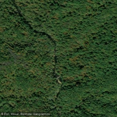
Chauga River
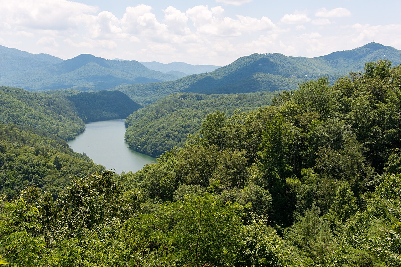
Tuckasegee River
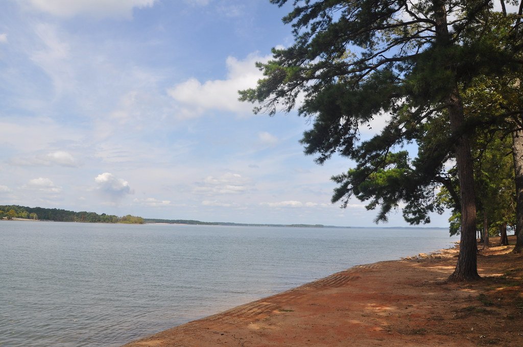
Hartwell Lake
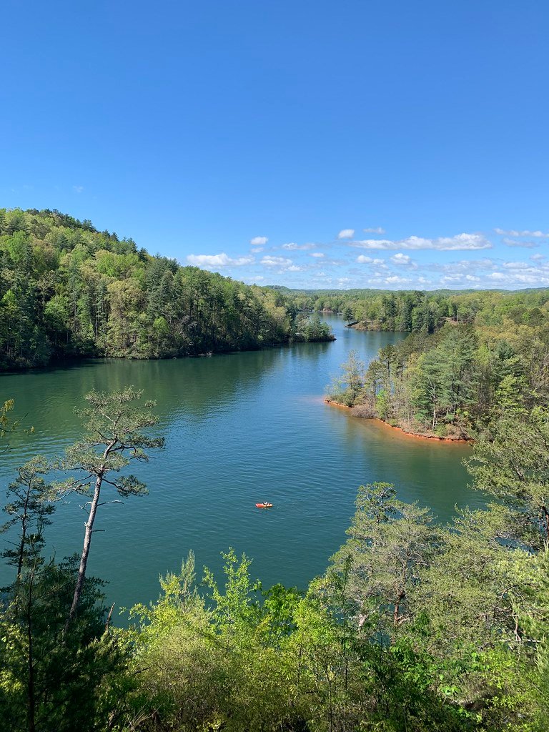
Lake Keowee
Broadway Lake
Secession Lake
Explore Georgia waters
Top paddling waters
Popular Cities
Loading popular cities...
Explore near Richard B Russell Lake
Access points
- Latimer Boat Ramp
- Jim Rampey Recreation Area Pier Access
- Shuck Pen Eddy Boat Ramp
- Beer Garden Creek Boat Ramp
- Manor Boat Ramp
- Millwood Boat Ramp
- Calhoun Falls State Park Marina
- Felkel Boat Ramp
- Blue Hole Boat Ramp
- Elbert County Park Boat Ramp
- Dry Fork Creek Boat Ramp
- Jim Rampey Recreation Area Access
- All 78 spots
Nearby waters
More in Georgia

Smarter Paddling Starts in the App.
Paddleways gives you everything you need to plan smarter, paddle better, and own every trip from first launch to takeout.