Secession Lake
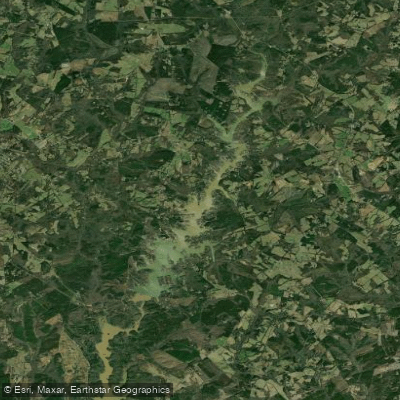
Secession Lake
- Boat Ramps
- 1
- Access Points
- 1
- Campsites
- 1
Lake Secession is a 1,450-acre reservoir located in Abbeville County, South Carolina, approximately 18 miles southwest of Anderson. The lake, which impounds the Rocky River, extends about 6 miles and has 52.28 miles of shoreline. Built in 1939-1940 as a WPA project, it is owned and managed by the City of Abbeville primarily for municipal power production.
Paddlers should be aware that Lake Secession has many tree stumps protruding from the water, particularly in coves and the upper reaches where the river enters. The lake is more riverine in character, only widening near the dam. These features, combined with standing timber in some areas, require caution when navigating.
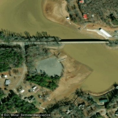
Access is available via a double boat ramp on Highway 184 near Iva, South Carolina. This public access point, provided by the City of Abbeville, is free to use. Some lakeside businesses also offer boat ramps for a fee.
Lake Secession is known for its excellent fishing opportunities, which may interest paddlers. The lake supports populations of largemouth bass, black crappie, catfish, bream, and seasonally, white bass. The Highway 184 bridge, the only one crossing the lake, features rip-rap banks that attract fish and anglers alike.
Water conditions can vary significantly with rainfall, turning muddy brown for several days after heavy precipitation. On windy days, the lake's smaller size makes it suitable for boats that might struggle with larger reservoir waves.
The lake's fertile nature supports a diverse ecosystem, potentially offering wildlife viewing opportunities for paddlers. Development around the lake is primarily residential with some businesses, maintaining a relatively natural setting.
No specific paddling restrictions are mentioned, but a South Carolina fishing license is required for anglers. The lake has no boat motor restrictions, so paddlers should be prepared to share the water with powered craft.
Water access, boat ramps & amenities
Learn how to get on Secession Lake. Uncover great paddling access points, boat ramps, and all the facilities you need for an unforgettable day on the water. Some locations shown may border or include private property. Always check property boundaries and applicable regulations before visiting. PaddleWays's Public & Private Land layer can help you plan your access with confidence.
Paddle smarter with real-time insights
Whether you're en route and conditions shift or you're looking for the best spot based on current flows, we enable you to make informed decisions on the fly.








Find Places to Paddle

Over 400,000 Places to Paddle
Every user gets free access to launch points, boat ramps, and public property parcels.


Water and weather conditions (10 day forecast)
See the best times to paddle Secession Lake and check the forecast before you go.
No forecast data available.
Paddling near Secession Lake

Savannah River

Saluda River

French Broad River
Chauga River
Tuckasegee River
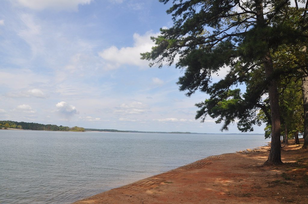
Hartwell Lake
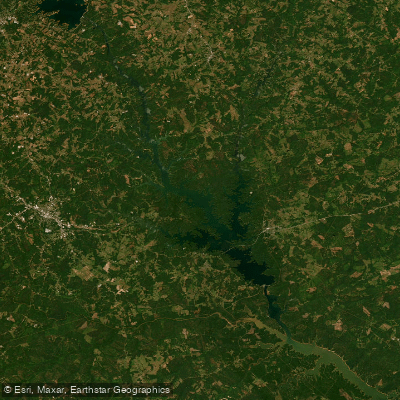
Richard B Russell Lake
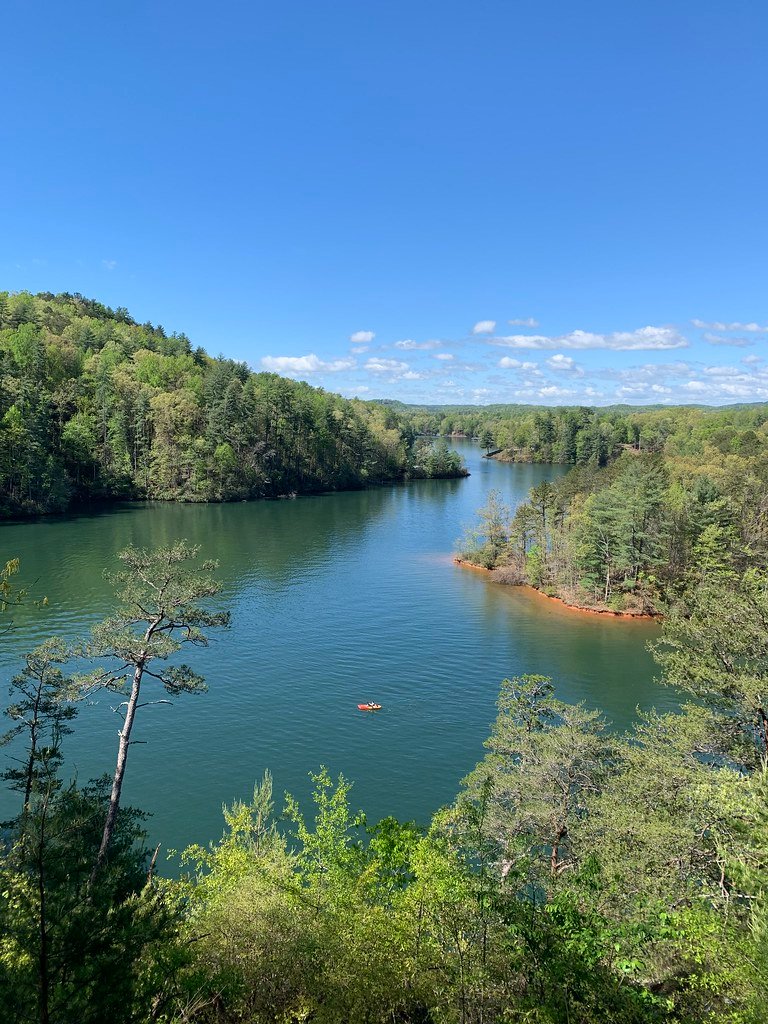
Lake Keowee
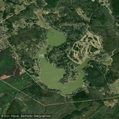
Broadway Lake
Explore South Carolina waters
Top paddling waters
Popular Cities
Loading popular cities...
Explore near Secession Lake

Smarter Paddling Starts in the App.
Paddleways gives you everything you need to plan smarter, paddle better, and own every trip from first launch to takeout.