North Edisto River
- Saltwater
- Tidal river
North Edisto River
- Saltwater
- Tidal river
- Sq. miles
- 11
- Boat Ramps
- 3
- Access Points
- 1
- Campsites
- 1
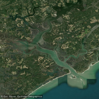
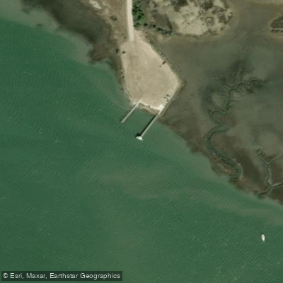
The North Edisto River is a tidal river forming part of South Carolina's extensive coastal saltwater paddling network. It is a segment of the multi-state Southeast Coast Saltwater Paddling Trail, specifically connecting Edisto Island to Charleston over approximately 50 miles. The river flows through the ACE Basin, one of the largest undeveloped wetland ecosystems on the Atlantic Coast, characterized by expansive salt marshes, tidal creeks, and maritime forests. Paddlers can access the water at several public launches. Steamboat Landing, also referred to as Steamboat Creek Landing, is a public boat ramp near Edisto Island suitable for kayaks and canoes, offering parking and a dock. Another known access point is Jones Bridge Landing on Highway 394 near the town of North, from which a 4-mile route to Carson Landing on Highway 321 is a calm, slow-moving trip taking about four hours. The river is subject to significant tidal influence, with a range of 4 to 6 feet and currents reported from 0 to 1.5 knots. Paddlers must plan trips around these tides, as the current direction will reverse with the tide cycle. The anchorage area near Steamboat Creek offers only low-lying land for wind protection, indicating exposure on wider sections of the river. The waterway sees boat traffic, including occasional fishing boats, and is adjacent to the Intracoastal Waterway near mile marker 497, so paddlers should be prepared for potential wakes and exercise caution when crossing or navigating near marked channels. The surrounding area is rich in wildlife, including bottlenose dolphins, bald eagles, ospreys, and blue herons. The scenic beauty is highlighted by pristine salt marshes and historic Lowcountry landscapes. The best seasons for paddling are generally spring through fall, with the climate supporting year-round activity. Facilities are basic, typically limited to the boat ramp and parking at the launches. The river's setting within protected wildlife areas like the ACE Basin and near the Botany Bay Plantation Wildlife Management Area offers a peaceful, natural paddling experience focused on the coastal environment.
Water access, boat ramps & amenities
Learn how to get on North Edisto River. Uncover great paddling access points, boat ramps, and all the facilities you need for an unforgettable day on the water. Some locations shown may border or include private property. Always check property boundaries and applicable regulations before visiting. PaddleWays's Public & Private Land layer can help you plan your access with confidence.
Paddle smarter with real-time insights
Whether you're en route and conditions shift or you're looking for the best spot based on current flows, we enable you to make informed decisions on the fly.








Find Places to Paddle

Over 400,000 Places to Paddle
Every user gets free access to launch points, boat ramps, and public property parcels.


Tides, wind & water conditions (10 day forecast)
On open water, wind and tide matter as much as the weather. See the best times to paddle North Edisto River and check the marine forecast before you launch.
Loading tide predictions…
Paddling near North Edisto River
Lake Moultrie
Lake Marion
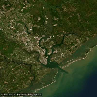
Cooper River
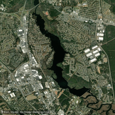
Goose Creek Reservoir
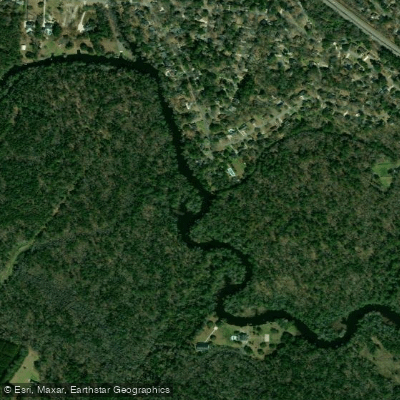
Ashley River
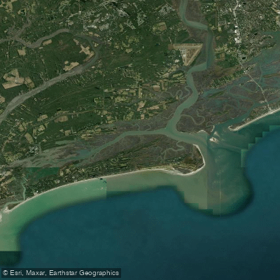
Stono Inlet
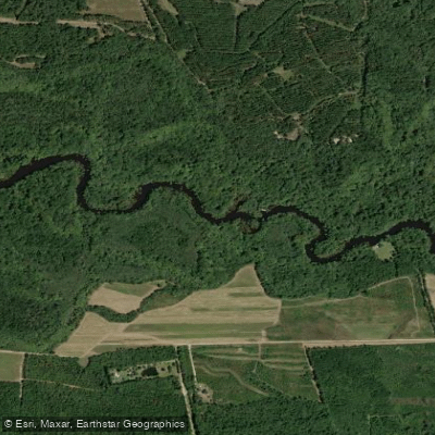
Edisto River
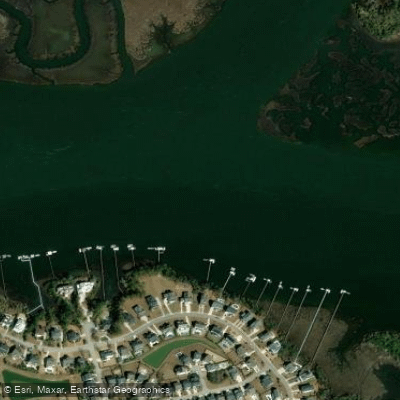
Wando River
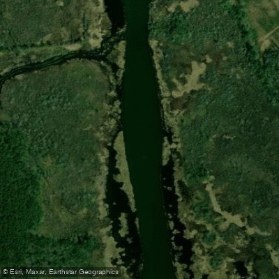
Back River
Explore South Carolina waters
Top paddling waters
Popular Cities
Loading popular cities...
Explore near North Edisto River
Access points
Nearby waters
More in South Carolina

Smarter Paddling Starts in the App.
Paddleways gives you everything you need to plan smarter, paddle better, and own every trip from first launch to takeout.