Stono Inlet
- Saltwater
- Inlet
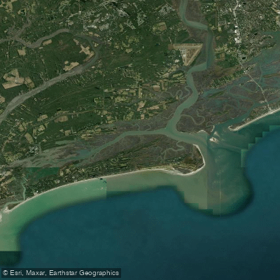
Stono Inlet
- Saltwater
- Inlet
- Sq. miles
- 5.7
- Boat Ramps
- 0
- Access Points
- 0
- Campsites
- 1
Stono Inlet is a coastal inlet connecting the Atlantic Ocean to the Stono River, Kiawah River, and Folly River near Charleston, South Carolina. This is a dynamic saltwater environment where three rivers converge, pushing and pulling a significant volume of water through the inlet, creating strong tidal currents. The area is characterized by shifting sandbars and shoals, with channels that change frequently and are not always marked with buoys. Paddlers must be skilled at reading the water to navigate safely, especially at low tide when shallow flats are exposed. Conditions can become rough and choppy when wind opposes the tide flow, particularly in the more open area from the end of Folly Island around to where the Stono and Kiawah rivers split. The inlet can also be prone to fog during winter months.
Primary access points for paddlers launching into the Folly River, which leads to the inlet, include the public boat landing on Folly Beach and the Sol Legare Creek launch on the Stono River side. The Folly Beach boat landing is a popular but often overcrowded site, with plans for additional kayak and paddle launches to ease congestion. The Sol Legare Island launch is also used, offering similar proximity to the inlet. Parking is limited at these sites. Paddling from Folly Beach to the ocean edge at Stono Inlet or towards Morris Island Lighthouse is a popular scenic route. The area offers a mix of open water, salt marsh, and beach environments. Wildlife sightings can include various bird species. Due to the convergence of rivers and the ocean inlet, boat traffic from motorboats and bay boats is present, and paddlers should exercise caution, particularly when crossing channels or navigating near the inlet entrance where waves can break. The water is saltwater and subject to typical coastal tidal patterns, with a recommended strategy being to track your route on GPS, especially when exiting on a low tide, to aid in navigation on the return.
Water access, boat ramps & amenities
Learn how to get on Stono Inlet. Uncover great paddling access points, boat ramps, and all the facilities you need for an unforgettable day on the water. Some locations shown may border or include private property. Always check property boundaries and applicable regulations before visiting. PaddleWays's Public & Private Land layer can help you plan your access with confidence.
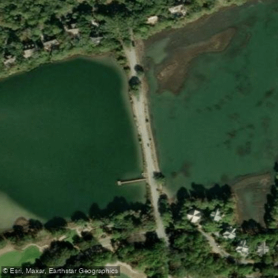
Paddle smarter with real-time insights
Whether you're en route and conditions shift or you're looking for the best spot based on current flows, we enable you to make informed decisions on the fly.








Find Places to Paddle

Over 400,000 Places to Paddle
Every user gets free access to launch points, boat ramps, and public property parcels.


Tides, wind & water conditions (10 day forecast)
On open water, wind and tide matter as much as the weather. See the best times to paddle Stono Inlet and check the marine forecast before you launch.
Loading tide predictions…
Paddling near Stono Inlet
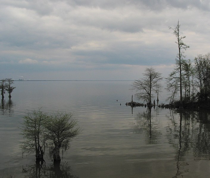
Lake Moultrie

Lake Marion
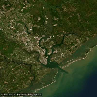
Cooper River
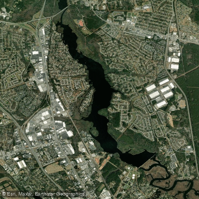
Goose Creek Reservoir
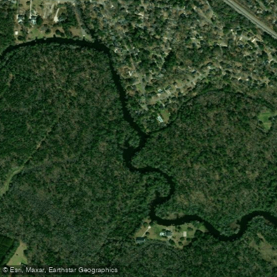
Ashley River
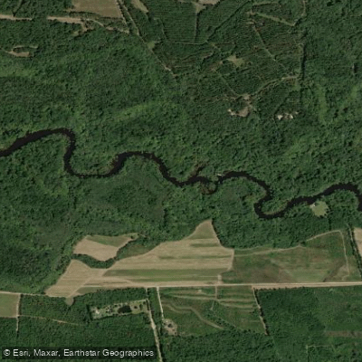
Edisto River
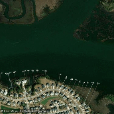
Wando River
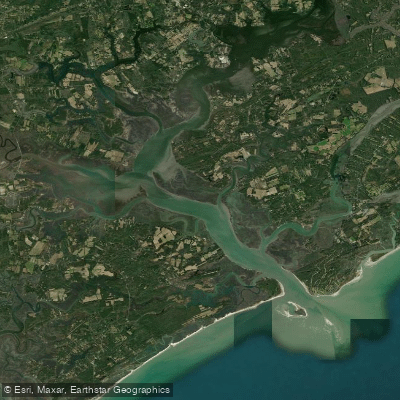
North Edisto River
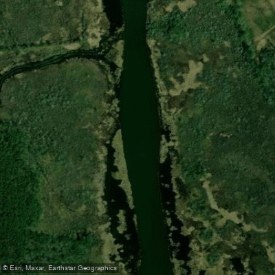
Back River
Explore South Carolina waters
Top paddling waters
Popular Cities
Loading popular cities...
Explore near Stono Inlet

Smarter Paddling Starts in the App.
Paddleways gives you everything you need to plan smarter, paddle better, and own every trip from first launch to takeout.