Ashley River
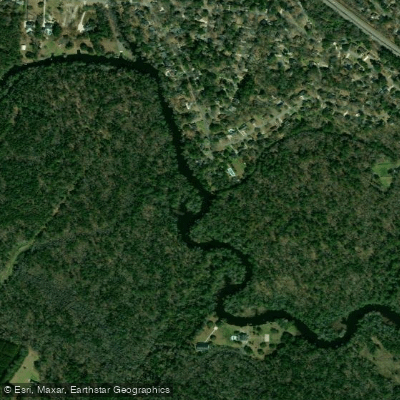
Ashley River
- Boat Ramps
- 1
- Access Points
- 4
- Campsites
- 0
The Ashley River is a scenic 30-mile waterway that flows from its headwaters in the Great Cypress Swamp of Dorchester County, South Carolina to Charleston Harbor. This blackwater river meanders southeast through a rich historical and natural landscape before joining the Cooper River to form Charleston Harbor. The Ashley River Blue Trail offers paddlers a unique opportunity to explore this South Carolina State Scenic River. The full trail runs 30 miles from the Great Cypress Swamp to Charleston Harbor, with the 5.5-mile Ashley River Heritage Trail subsection between Middleton Place and Bacon's Bridge being a highlight.
This flatwater paddling route is suitable for beginners to intermediate paddlers, offering calm waters and minimal current. Spring and fall are ideal paddling seasons, with comfortable temperatures and lower chances of afternoon thunderstorms compared to summer. The river's ecosystem supports diverse wildlife, including wading birds, alligators, and various fish species. Paddlers can expect to see tupelo and cypress trees lining the banks, creating a serene swamp environment.
Key landmarks along the river include several historic plantations predating the Revolutionary War, such as Middleton Place. The Ashley River Heritage Trail features maritime archaeological sites dating from the early 18th to early 20th centuries, visible at low tide. Primary access points include: 1. Howard Bridgman River Access at Bacon's Bridge (Ashley River Park, Summerville) 2. Middleton Place (private access for guests and tours) 3. Various points in Charleston near the harbor
The Ashley River holds significant historical and cultural importance, having played a crucial role in the early development of Charleston and surrounding areas. It continues to be an important recreational and natural resource for the region. Paddlers should be aware of tidal influences, especially in the lower sections near Charleston. Always check weather conditions and tides before embarking. The river's status as a State Scenic River may come with specific regulations to preserve its natural and historical integrity.
For those interested in multi-day trips, it's possible to paddle the entire 30-mile Blue Trail over 2-3 days, camping at designated sites along the way. However, most paddlers opt for day trips or guided tours exploring specific sections of this historically rich and naturally beautiful South Carolina river.
Water access, boat ramps & amenities
Learn how to get on Ashley River. Uncover great paddling access points, boat ramps, and all the facilities you need for an unforgettable day on the water. Some locations shown may border or include private property. Always check property boundaries and applicable regulations before visiting. PaddleWays's Public & Private Land layer can help you plan your access with confidence.
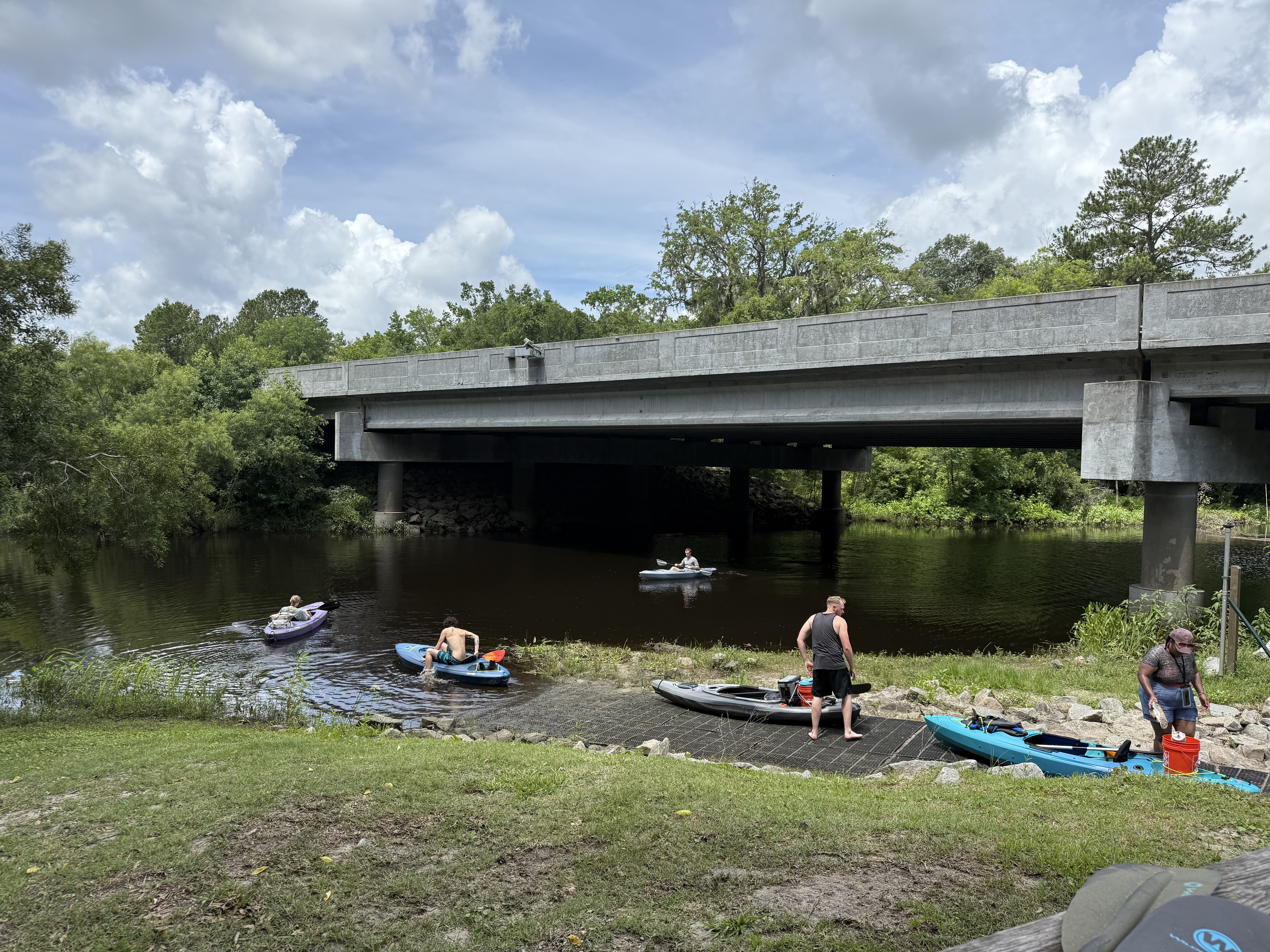
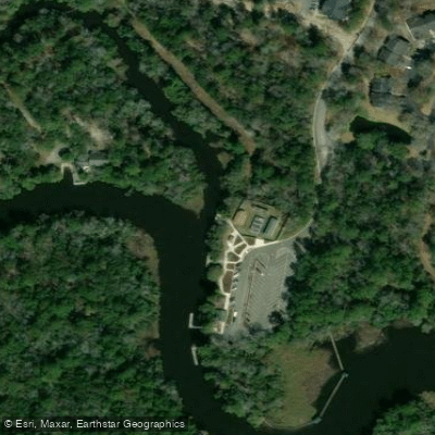
Paddle smarter with real-time insights
Whether you're en route and conditions shift or you're looking for the best spot based on current flows, we enable you to make informed decisions on the fly.








Find Places to Paddle

Over 400,000 Places to Paddle
Every user gets free access to launch points, boat ramps, and public property parcels.


Water and weather conditions (10 day forecast)
See the best times to paddle Ashley River and check the forecast before you go.
ASHLEY RIVER NEAR NORTH CHARLESTON, SC
All Flow Stations
Paddling near Ashley River
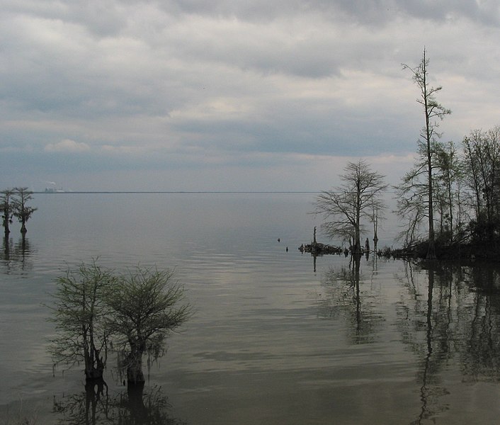
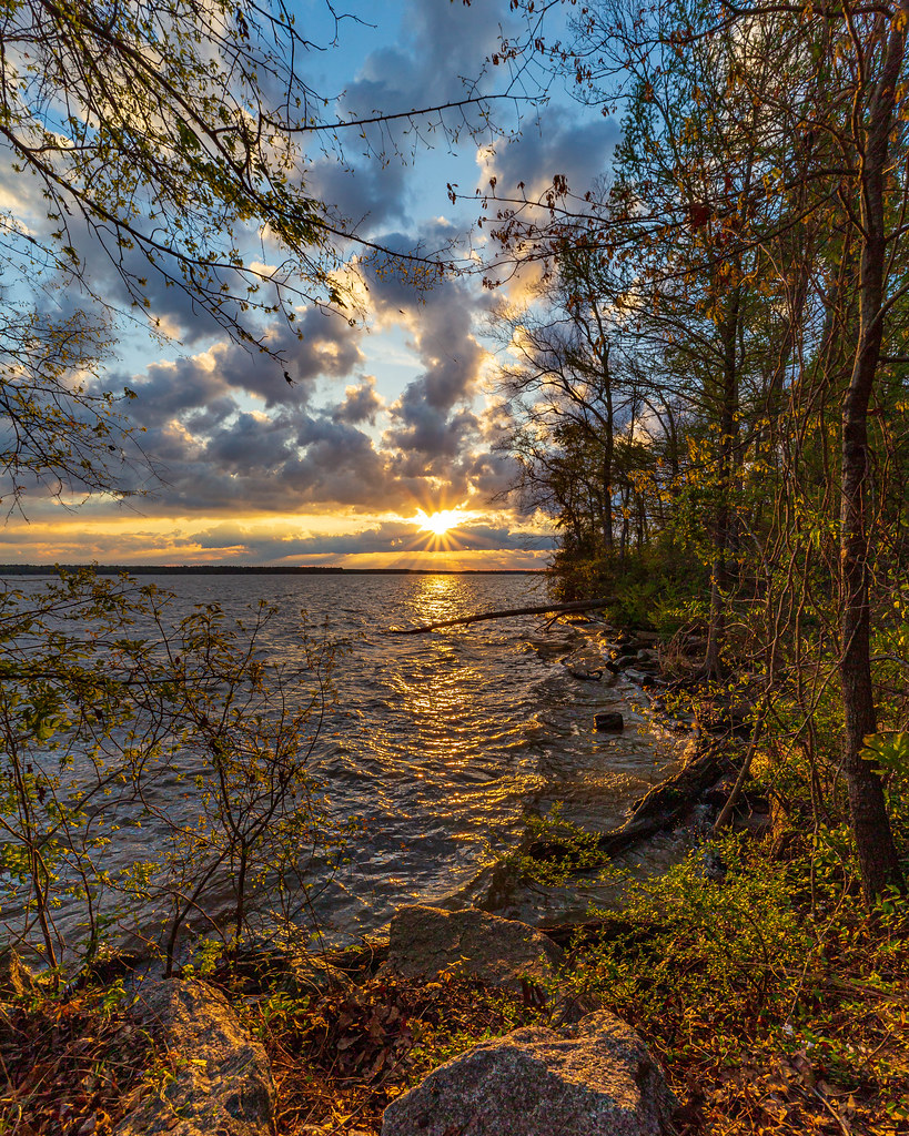
Lake Moultrie
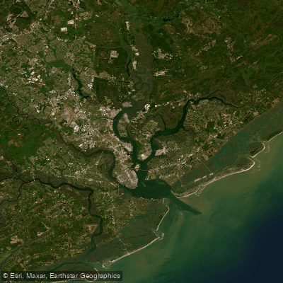
Lake Marion
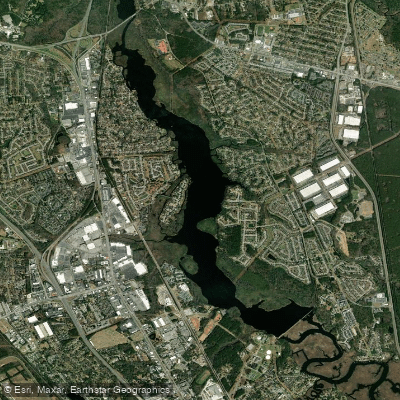
Cooper River
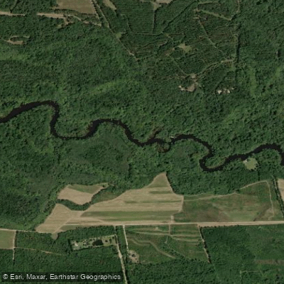
Goose Creek Reservoir
Edisto River
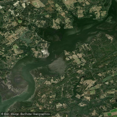
Wadmalaw River
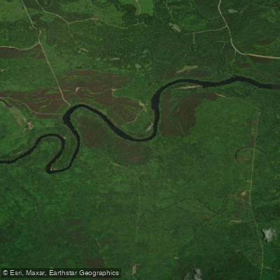
Santee River
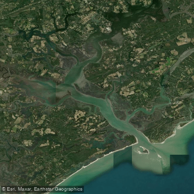
North Edisto River
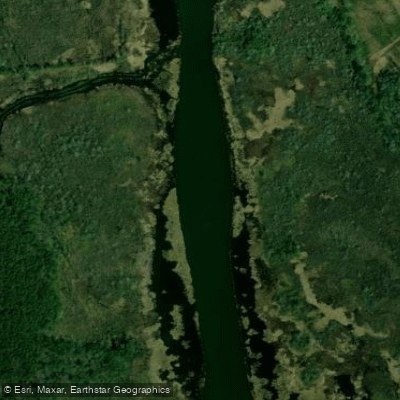
Back River
Explore South Carolina waters
Top paddling waters
Popular Cities
Loading popular cities...
Explore near Ashley River
Access points
Nearby waters
More in South Carolina

Smarter Paddling Starts in the App.
Paddleways gives you everything you need to plan smarter, paddle better, and own every trip from first launch to takeout.