Lake Marion
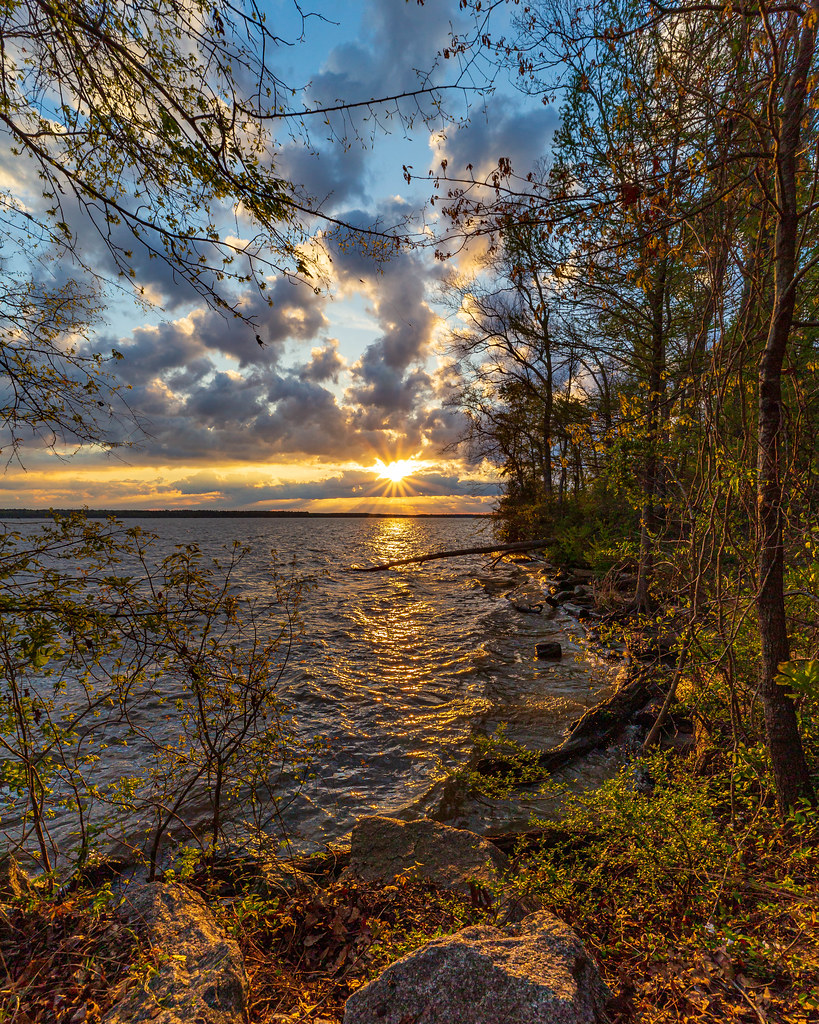
Lake Marion
- Boat Ramps
- 19
- Access Points
- 27
- Campsites
- 4
Lake Marion, South Carolina's largest lake at 110,000 acres, offers diverse paddling experiences from open water to secluded swamps. The lake is known for its abundant wildlife, including alligators, turtles, eagles, and various bird species. Cypress and tupelo forests line portions of the shoreline, creating scenic paddling routes.
Several access points are available. Rocks Pond marina and Speirs Landing provide boat launches, with Speirs Landing offering free access. Pack's Landing in Pinewood allows entry to remote wetland areas. Santee State Park also has a boat ramp for accessing Poplar Creek.
Paddlers should be aware of potential hazards. The reservoir can experience rapid wave buildup, making conditions challenging for beginners. Submerged trees or "mines" pose risks in some areas. A GPS is highly recommended for navigation, especially in the maze-like swamp sections.
Notable paddling routes include exploring the islands near the former town of Ferguson, with visible ruins from an old lumber mill. Poplar Creek offers a 2.25-mile out-and-back trip through cypress forests and lily pad fields. The northernmost part of the lake features hundreds of acres of shallow wetlands, ideal for experienced paddlers seeking solitude.
Water levels can vary seasonally, affecting passage through narrow creeks and swamps. Summer months bring hot, sunny conditions. The lake is popular with anglers, so paddlers may encounter fishing boats, particularly on weekends.
Camping is available at locations like Rocks Pond Campground. Some areas, such as Church Island, feature historical sites including old church foundations and a cemetery. Paddlers should practice Leave No Trace principles and be prepared for potentially strenuous conditions, especially when paddling against currents in canals and creeks.
Water access, boat ramps & amenities
Learn how to get on Lake Marion. Uncover great paddling access points, boat ramps, and all the facilities you need for an unforgettable day on the water. Some locations shown may border or include private property. Always check property boundaries and applicable regulations before visiting. PaddleWays's Public & Private Land layer can help you plan your access with confidence.
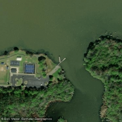
Spiers Landing Park Access
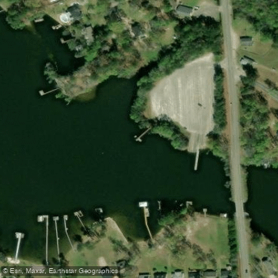
C. Alex Harvin Landing Access
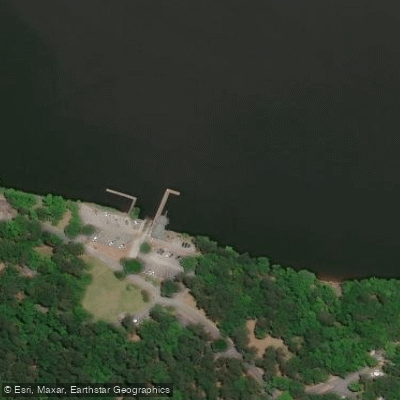
Santee State Park Pier Access
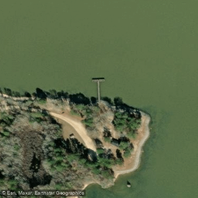
Indian Bluff Park Pier Access
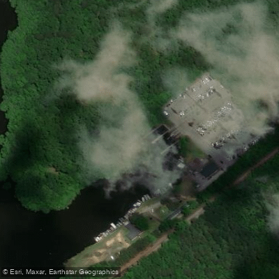
Rimini Landing Pier Access
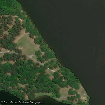
Santee State Park Bank Access
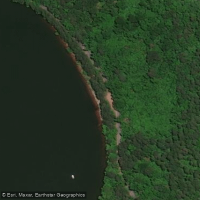
Santee National Wildlife Refuge Access
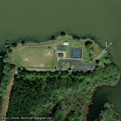
Spiers Landing Park Access
Paddle smarter with real-time insights
Whether you're en route and conditions shift or you're looking for the best spot based on current flows, we enable you to make informed decisions on the fly.








Find Places to Paddle

Over 400,000 Places to Paddle
Every user gets free access to launch points, boat ramps, and public property parcels.


Water and weather conditions (10 day forecast)
See the best times to paddle Lake Marion and check the forecast before you go.
LAKE MARION NEAR PINEVILLE, SC
All Flow Stations
Paddling near Lake Marion
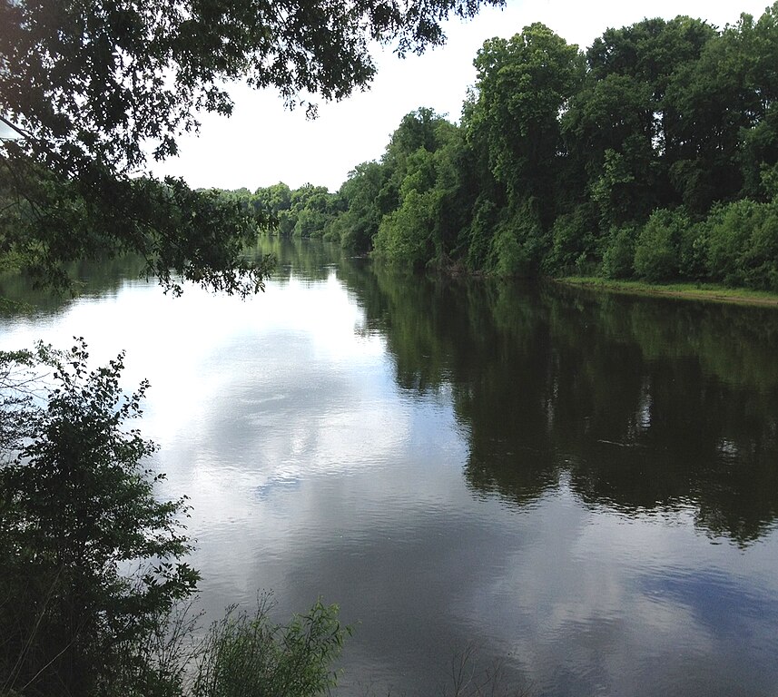
Wateree River

Broad River

Saluda River
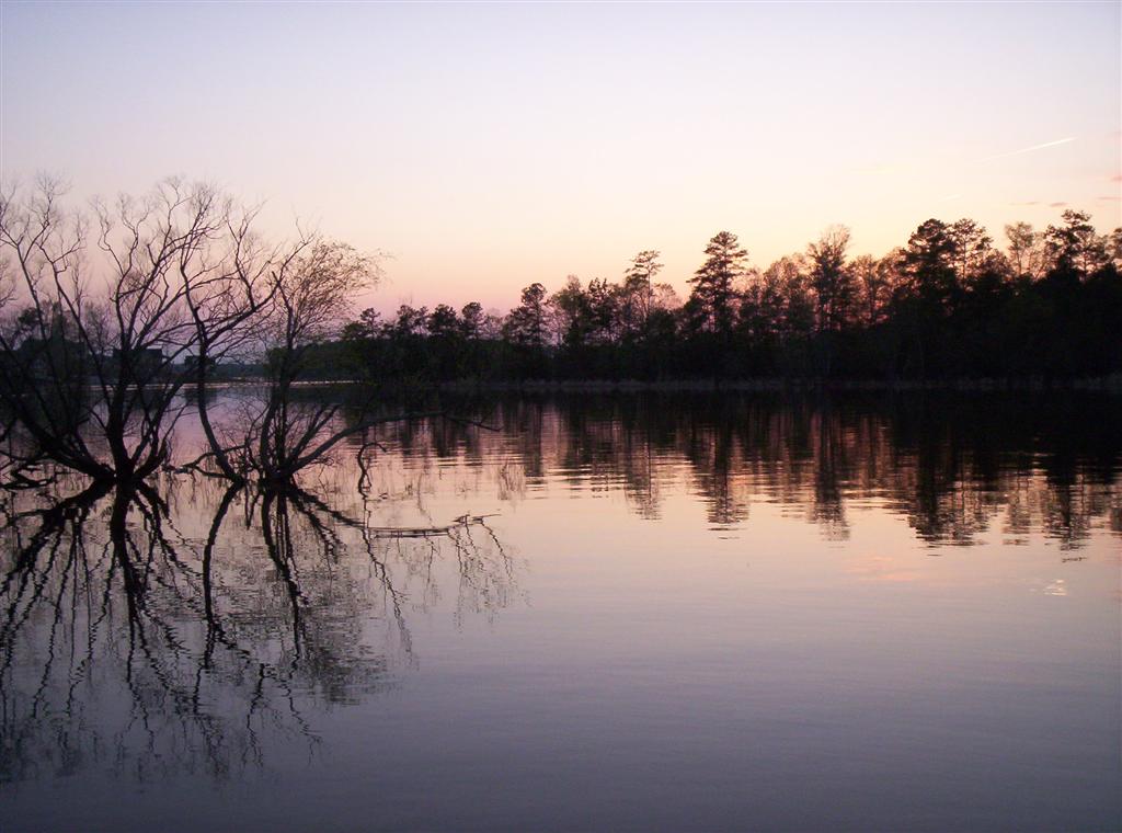
Lake Murray
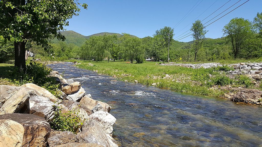
Catawba River
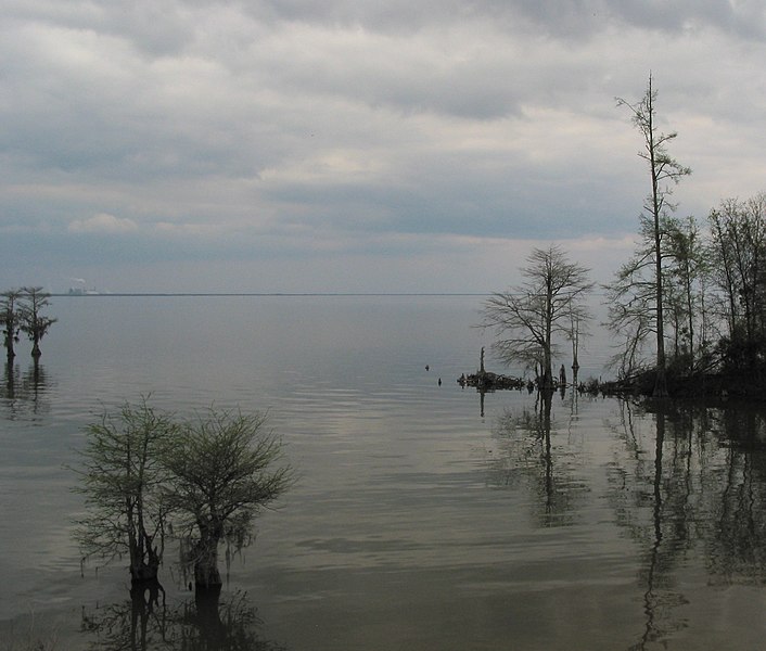
Lake Moultrie
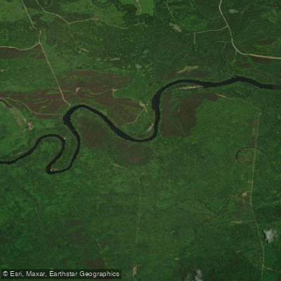
Santee River
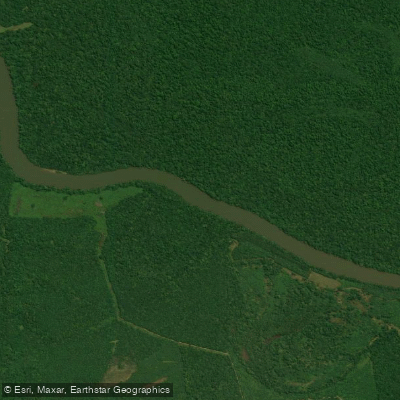
Congaree River
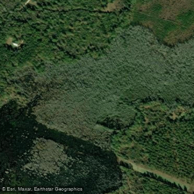
Cedar Creek
Explore South Carolina waters
Top paddling waters
Popular Cities
Loading popular cities...
Explore near Lake Marion
Access points
- Mac's Camp Landing Boat Ramp
- Hickory Top Boat Ramp
- Indian Bluff Park Boat Ramp
- Santee Cooper Country Club Boat Ramp
- Cathead Boat Ramp
- Harry's Camp Landing Boat Ramp
- White Oak III Boat Ramp
- C Alex Harvin III Boat Ramp
- Eutaw Springs Boat Ramp
- John C Land III Boat Ramp
- Rowland Subdivision Boat Ramp
- Santee Lakes KOA Boat Ramp
- All 31 spots
Nearby waters
More in South Carolina

Smarter Paddling Starts in the App.
Paddleways gives you everything you need to plan smarter, paddle better, and own every trip from first launch to takeout.