Curated by PaddleWays
Route
- Distance
- 5.7 mi
- Paddle time
- ~1.5 hrs
- Best for
- Intermediate paddlers
- Put-in → take-out
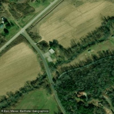
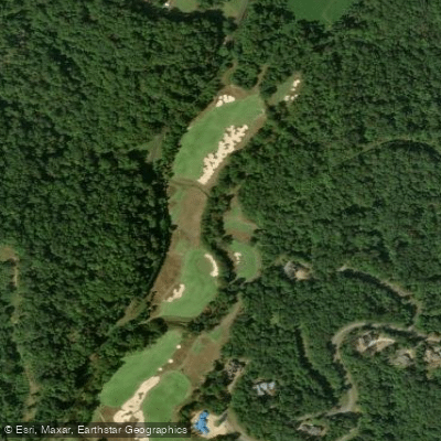
- Les Mullinax Park Boat Ramp → North Saluda River Access
Low water may make the stretch unpaddleable
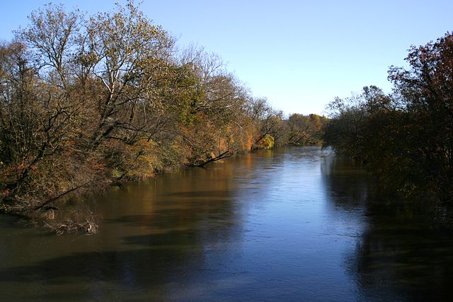
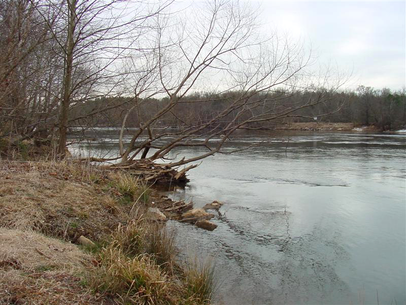
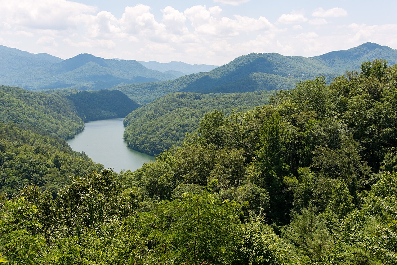
The North Saluda River is a scenic waterway originating in the Blue Ridge Mountains of northern Greenville County, South Carolina. It flows generally southeast, joining the South Saluda River to form the main stem of the Saluda River near Greenville. The North Saluda is approximately 25 miles long and forms part of the broader Saluda River watershed.
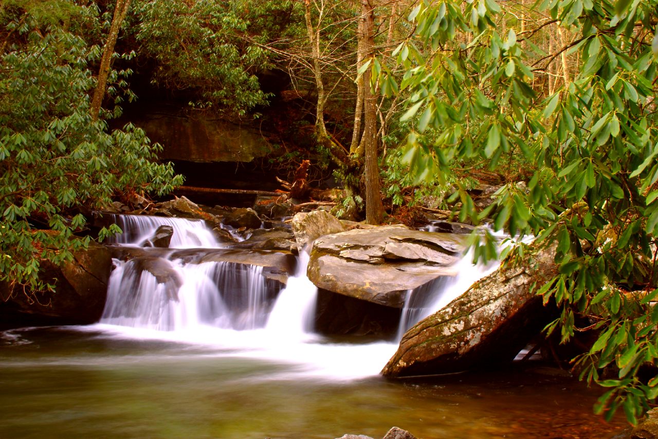
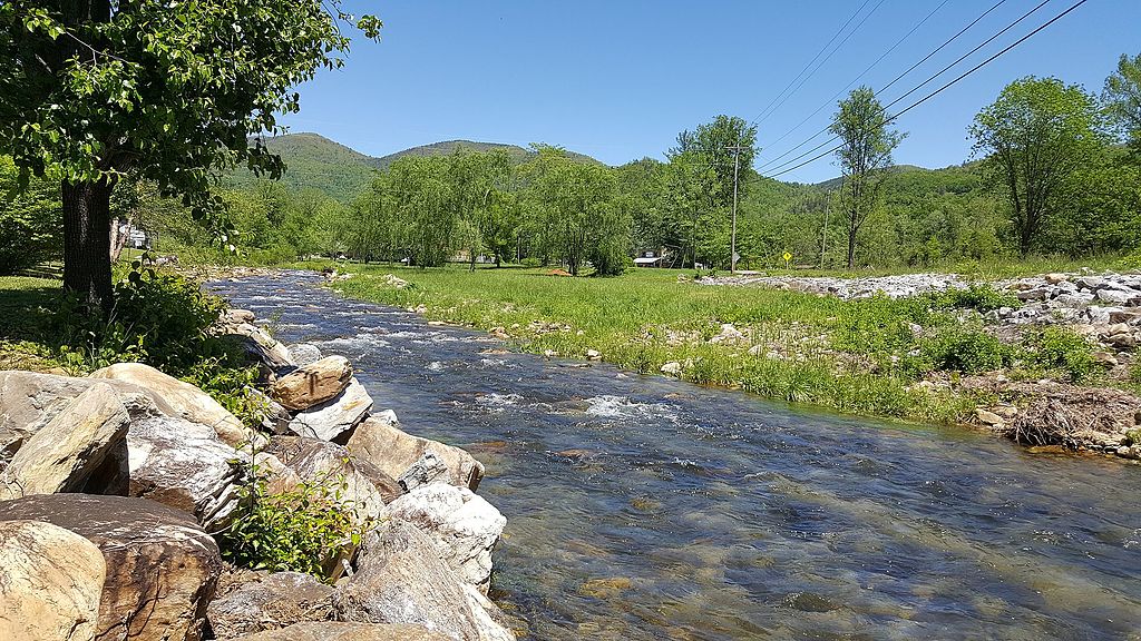
Paddling opportunities on the North Saluda range from calm flatwater sections to challenging whitewater, offering something for all skill levels. The upper reaches near the headwaters provide technical Class IV-V rapids for expert paddlers, while middle sections offer Class II-III whitewater suitable for intermediate kayakers and canoeists. Lower portions closer to the confluence are generally Class I-II, ideal for beginners and families. The river's difficulty varies seasonally, with higher water levels in spring and after heavy rains increasing the challenge. Late spring through early fall typically offers the best paddling conditions, though the river is often runnable year-round. Water levels can fluctuate quickly, so checking current conditions is essential.
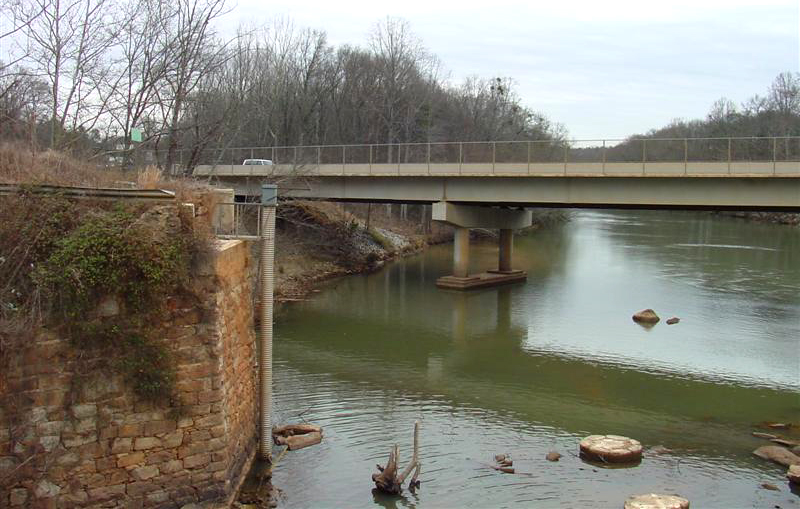
The North Saluda's forested corridor supports diverse wildlife, including deer, turkey, and numerous bird species. Paddlers may spot great blue herons, kingfishers, and even bald eagles. The river is known for its trout fishing in the upper sections. Key landmarks include the North Saluda Reservoir, Les Mullinax Park, and several historic bridges like Poinsett Bridge.
Popular access points include: - Les Mullinax Park near Cleveland - River Road access near Marietta - Highway 11 access - Hunts Bridge Road access
The river passes through small communities like Slater and Marietta before nearing the outskirts of Greenville. It played a significant role in the area's early development, powering mills and supporting agriculture.
Safety considerations include swift currents, strainers, and occasional low-head dams. All paddlers should wear life jackets and be aware of their skill limits. Some sections may require permits or have specific regulations, especially near the reservoir.
While primarily used for day trips, adventurous paddlers can string together multi-day excursions by combining sections of the North Saluda with the main Saluda River. This pristine mountain stream offers a range of paddling experiences and a chance to explore the natural beauty of upstate South Carolina.
Curated routes
Hand-picked by the PaddleWays team, with put-ins, take-outs, paddle times and the hazards along the way.
Route
Hazards
No hazards are marked on North Saluda River yet. That is not the same as none being there: if you find one, report it for the next paddler.
From the community
Nobody has shared a trip on North Saluda River yet. Paddle it, then tell the next paddler how it went.
See exactly where the public can get on and off the river. Launch points and boat ramps are paired with PaddleWays' public land data so you know where you can legally land.
Public shoreline
1%of the river's shoreline is public
Most of the riverbank is private. Launch, land and camp only at public access points.
Flows, weather and a route-by-route verdict, so you know which stretch of the North Saluda River is worth paddling today.
All Flow Stations
Live flows, marked hazards and fresh trip reports from paddlers who were just on the water, all in one place.





Every user gets free access to launch points, boat ramps, and public property parcels.
Loading popular cities...
PaddleWays gives you everything you need to plan smarter, paddle better, and own every trip from first launch to takeout.