Enoree River
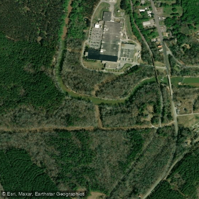
Enoree River
- Boat Ramps
- 4
- Access Points
- 9
- Campsites
- 6
The Enoree River, also known as the River of Muscadines, is an 85-mile long waterway flowing through South Carolina's scenic Piedmont region. Originating in Greenville County, it travels southeast before joining the Broad River near the town of Whitmire. The river passes through Greenville, Spartanburg, Laurens, Union, and Newberry counties, draining a watershed of approximately 731 square miles.
Paddling opportunities on the Enoree range from whitewater sections in its upper reaches to calm flatwater stretches downstream. The river offers a variety of experiences suitable for different skill levels. Upper sections near Pelham feature Class II-III rapids, providing excitement for intermediate paddlers. As the river progresses, it transitions to mostly flatwater, ideal for novice paddlers and families. The difficulty of the Enoree varies from Class II-III in its upper sections to primarily flatwater in its lower reaches. Paddlers should have basic river reading skills and be comfortable with occasional maneuvering around fallen trees, especially in the middle sections.
Spring and fall are generally the best seasons for paddling the Enoree, offering comfortable temperatures and reliable water levels. Summer paddling is possible but may require navigating around shallow areas during low water periods.
The river corridor is characterized by abundant forested land, providing habitat for diverse wildlife including deer, turkey, and various bird species. Paddlers may spot great blue herons, kingfishers, and even bald eagles along the route.
Notable landmarks include the Battle of Musgrove Mill State Historic Site, which offers a convenient access point and historical context from the Revolutionary War era. The river passes through the Sumter National Forest, offering scenic views and camping opportunities for multi-day trips.
Key access points include Pelham Mill Park near Greenville, Jones Ford Road, Forest Service Road 336A, Brazelmans Bridge Road, and Keitts Bridge Landing. The town of Whitmire serves as a convenient reference point for several access locations.
The Enoree played a significant role in early settlement and industrial development of the region, with numerous mill sites along its banks. Today, it serves as an important recreational resource and natural corridor.
Safety considerations include being aware of strainers (fallen trees) in the water, especially after high water events. Paddlers should check water levels before trips, as some sections can become challenging during high flows or too shallow during dry periods.
For those interested in multi-day adventures, the Enoree River Canoe Trail offers a 36-mile route from Jones Bridge to Strother's Landing, with several designated camping areas along the way. This trail provides an immersive experience of the river's changing character and surrounding landscape.
Water access, boat ramps & amenities
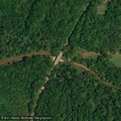
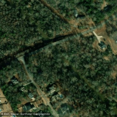
Learn how to get on Enoree River. Uncover great paddling access points, boat ramps, and all the facilities you need for an unforgettable day on the water. Some locations shown may border or include private property. Always check property boundaries and applicable regulations before visiting. PaddleWays's Public & Private Land layer can help you plan your access with confidence.
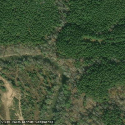
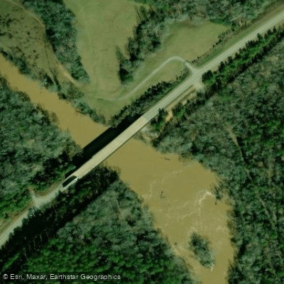
Paddle smarter with real-time insights
Whether you're en route and conditions shift or you're looking for the best spot based on current flows, we enable you to make informed decisions on the fly.








Find Places to Paddle

Over 400,000 Places to Paddle
Every user gets free access to launch points, boat ramps, and public property parcels.


Water and weather conditions (10 day forecast)
See the best times to paddle Enoree River and check the forecast before you go.
ENOREE RIVER AT PELHAM, SC
All Flow Stations
Paddling near Enoree River

Saluda River

Savannah River

French Broad River

Broad River
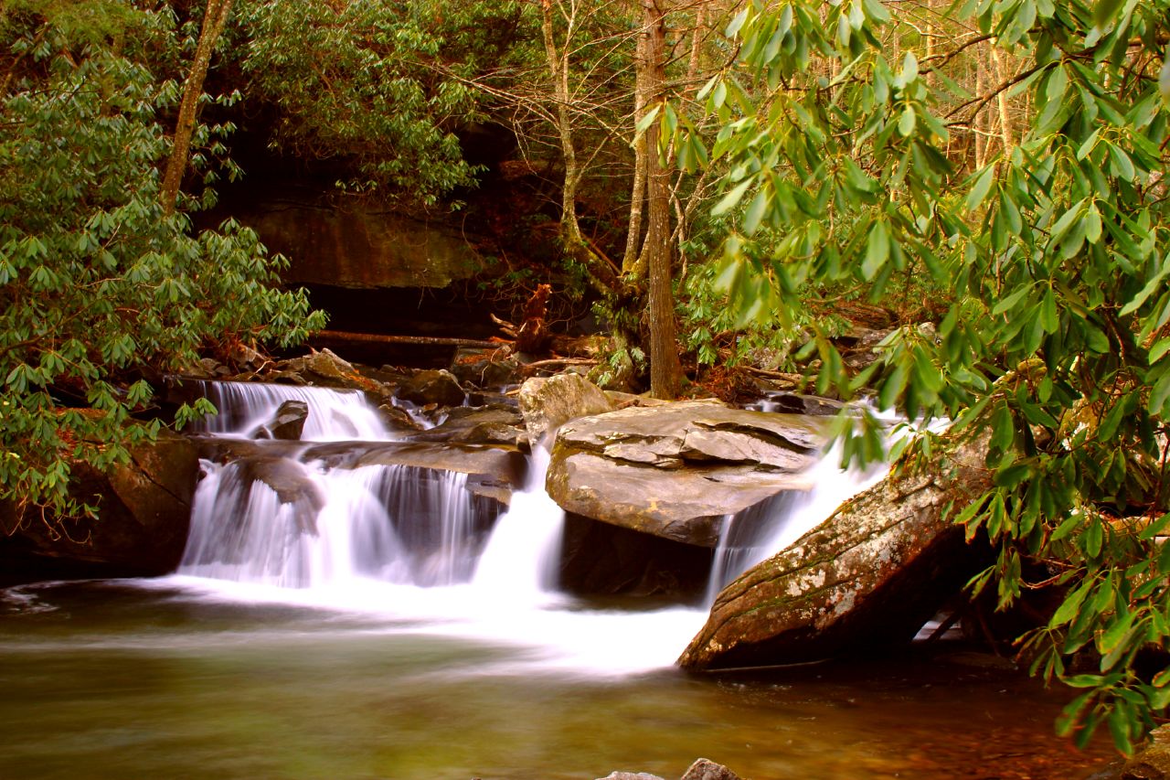
Davidson River
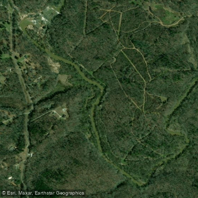
Reedy River
Lake Greenwood
Lake Cunningham
Saluda Lake
Explore South Carolina waters
Top paddling waters
Popular Cities
Loading popular cities...
Explore near Enoree River
Access points
- Brazzelmans Bridge Boat Ramp
- Keitt's Bridge Boat Ramp
- Park at Taylors Mill Boat Ramp
- Pelham Mill Park Boat Ramp
- Kilgore Bridge Road Access
- Cooper Bridge Road near SC Route 296 Access
- Mill State Historic Site Access
- Forest Service Road 339 Access
- South Carolina Route 49 Access
- Pond Hawk Campground
- Bullfrog Campground
- Rhododendron Campground
- All 15 spots
Nearby waters
More in South Carolina

Smarter Paddling Starts in the App.
Paddleways gives you everything you need to plan smarter, paddle better, and own every trip from first launch to takeout.