Curated by PaddleWays
RouteFlatwater
- Distance
- 1.7 mi
- Paddle time
- ~0.5 hrs
- Best for
- Beginners, families
- Put-in → take-out
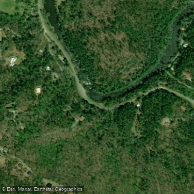
- Upper Greenway Farm Boat Ramp → Lower Greenway Farm Boat Ramp
North Chickamauga Creek is a waterway located in southeastern Tennessee, originating on Walden Ridge and flowing southwest for approximately 46 miles before joining the Tennessee River just north of Chattanooga. This creek system offers paddlers a range of experiences, from challenging whitewater in its upper reaches to peaceful flatwater sections closer to its confluence.
The upper section of North Chickamauga Creek, from Walden Ridge to Soddy-Daisy, is renowned among experienced kayakers for its 12-mile stretch of consistent Class IV-V rapids. This remote run, often combined with Cain Creek, features miles of technical whitewater through secluded gorges, making it a classic southeastern paddling destination. Access to this section typically requires hiking in via the Barker Pounds Trail.
As the creek descends from the mountains, it enters North Chickamauga Creek Gorge State Natural Area, where the popular Bowling Alley section offers a more accessible Class III-IV experience. This 1-mile run is favored by local paddlers for its versatility across various water levels and lack of shuttle requirements.
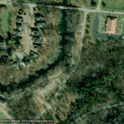
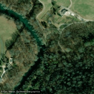
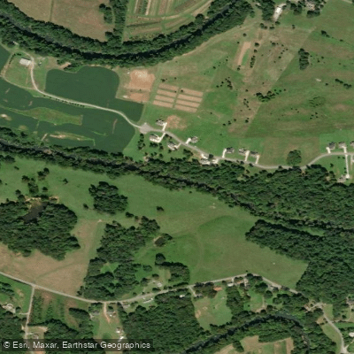
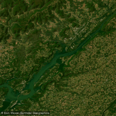
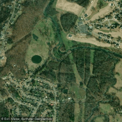
The lower sections of North Chickamauga Creek transition to flatwater, ideal for novice paddlers and families. Greenway Farm Park in Hixson provides an excellent access point for a 2.5-mile flatwater paddle, with the creek winding around a peninsula and offering scenic views. From here, ambitious paddlers can continue downstream to reach the Tennessee River, just below Chickamauga Dam.
Water levels fluctuate seasonally, with spring typically offering the most reliable flows for whitewater sections. Summer and fall are ideal for exploring the creek's lower flatwater stretches. The watershed supports diverse flora and fauna, including hardwood forests and various fish species.
Key access points include North Chickamauga Creek Gorge State Natural Area for whitewater sections, Greenway Farm Park for flatwater paddling, and various put-ins along the creek's course. The area holds historical significance, with remnants of early settlements and industrial sites visible along some sections.
Paddlers should be aware of potential hazards such as strainers in the upper sections and should check water levels before attempting any whitewater runs. The creek's proximity to Chattanooga makes it a popular destination for both locals and visitors, offering opportunities for day trips and, for more adventurous paddlers, multi-day expeditions combining different sections of the creek.
Curated routes
Hand-picked by the PaddleWays team, with put-ins, take-outs, paddle times and the hazards along the way.
RouteFlatwater
Hazards
No paddler has reported a hazard here yet, so these are the dams, falls and big rapids on our map. Hazards change with flows and storms, so check them before you launch.
From the community
Real trips from PaddleWays paddlers: which route they ran, how the flows were, and what to watch for.
Loading trip reports
Angie B.
SUP •
See exactly where the public can get on and off the river. Launch points and boat ramps are paired with PaddleWays' public land data so you know where you can legally land.
Public shoreline
47%of the river's shoreline is public
Most of the riverbank is private. Launch, land and camp only at public access points.
Flows, weather and a route-by-route verdict, so you know which stretch of the North Chickamauga Creek is worth paddling today.
Live flows, marked hazards and fresh trip reports from paddlers who were just on the water, all in one place.





Every user gets free access to launch points, boat ramps, and public property parcels.
Loading popular cities...
PaddleWays gives you everything you need to plan smarter, paddle better, and own every trip from first launch to takeout.