Curated by PaddleWays
RouteFlatwater
- Distance
- 8.7 mi
- Paddle time
- ~3 hrs
- Best for
- Kayak, canoe
- Put-in → take-out
- Inman Road Access → Route 41 Access
The Sequatchie River is a scenic waterway that flows through the heart of Tennessee's Sequatchie Valley. Originating near Crossville on the Cumberland Plateau, the river winds approximately 70 miles south-southwest before joining the Tennessee River just downstream of Nickajack Dam. The Sequatchie carves a narrow valley between the Cumberland Plateau and Walden Ridge, creating a unique geographical feature.
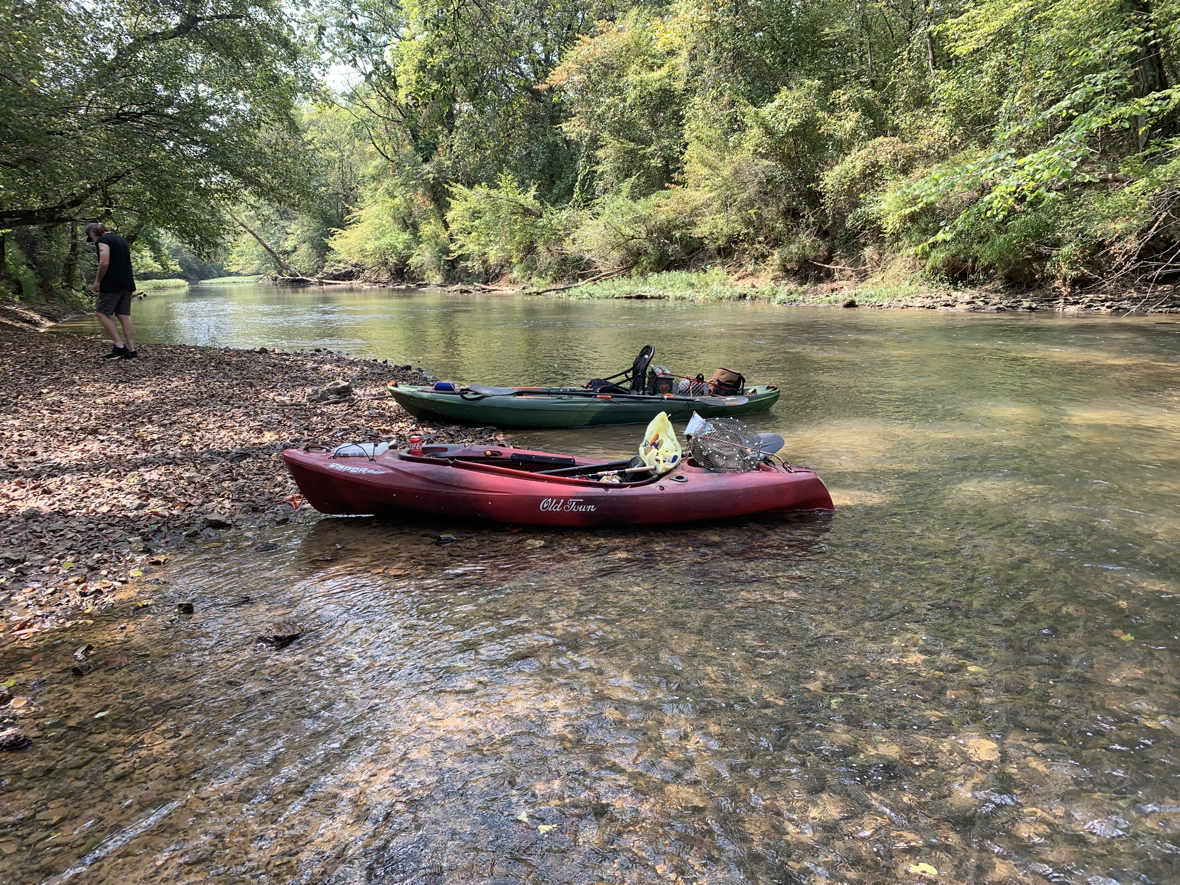
Paddling opportunities on the Sequatchie range from peaceful flatwater floats to mild Class I-II rapids, making it suitable for a variety of skill levels. The upper section near Crossville offers more challenging Class II conditions, while the middle and lower sections provide gentler waters ideal for beginners and families. Popular paddling routes include the 9-mile stretch from Highway 127 to Condra Switch Road, and the 4-mile Willis Farm Float near Whitwell.
The river's flow is generally consistent year-round, with spring and fall offering the most comfortable paddling conditions. Summer can be warm but provides ample opportunities for swimming and fishing. Winter paddling is possible but requires proper cold-water gear.
The Sequatchie Valley boasts diverse flora and fauna, with hardwood forests lining the banks and opportunities to spot wildlife such as deer, turkey, and various bird species. The river is also known for its fishing, particularly smallmouth bass.
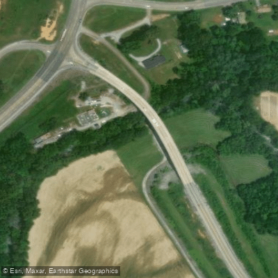
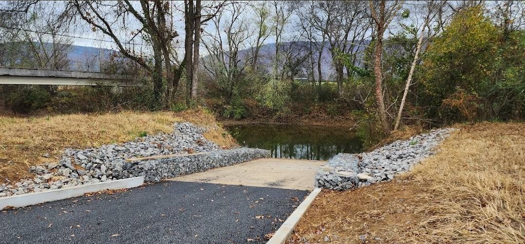
Key landmarks along the river include Ketner's Mill near Whitwell, a historic gristmill that serves as a popular stop for paddlers. The new boat ramp in Dunlap at the Old York Highway Bridge provides improved access to the middle section of the river. Primary access points include put-ins near Cumberland Trail State Park above Pikeville, Highway 127, and various bridges such as Stone Cave Road and Mt. Calvary Road. The river is easily accessible from nearby towns like Dunlap, Whitwell, and Jasper.
Historically, the Sequatchie River played a crucial role in the development of the valley, powering mills and supporting agriculture. Today, it remains an important recreational resource and a symbol of the region's natural beauty.
Safety considerations include being aware of water levels, which can fluctuate due to rainfall and releases from upstream dams. Paddlers should also watch for occasional blowdowns and strainers, particularly in less-traveled sections.
For those interested in multi-day trips, the full length of the Sequatchie offers an extended adventure, with several access points allowing for customized itineraries. Camping options are available along the route, though paddlers should plan accordingly and practice Leave No Trace principles.
The Sequatchie River provides a quintessential Tennessee paddling experience, offering a blend of natural beauty, mild whitewater, and rich cultural history in a picturesque valley setting.
Curated routes
Hand-picked by the PaddleWays team, with put-ins, take-outs, paddle times and the hazards along the way.
RouteFlatwater
RouteClass I
RouteClass I–II
Hazards
No paddler has reported a hazard here yet, so these are the dams, falls and big rapids on our map. Hazards change with flows and storms, so check them before you launch.
Dam
Last exit before dam. You have to get out for your safety.
From the community
Nobody has shared a trip on Sequatchie River yet. Paddle it, then tell the next paddler how it went.
See exactly where the public can get on and off the river. Launch points and boat ramps are paired with PaddleWays' public land data so you know where you can legally land.
Public shoreline
0%of the river's shoreline is public
Most of the riverbank is private. Launch, land and camp only at public access points.
Flows, weather and a route-by-route verdict, so you know which stretch of the Sequatchie River is worth paddling today.
Live flows, marked hazards and fresh trip reports from paddlers who were just on the water, all in one place.





Every user gets free access to launch points, boat ramps, and public property parcels.
Loading popular cities...
PaddleWays gives you everything you need to plan smarter, paddle better, and own every trip from first launch to takeout.