Aransas Pass
- Saltwater
- Pass
Aransas Pass
- Saltwater
- Pass
- Sq. miles
- 32
- Boat Ramps
- 0
- Access Points
- 0
- Campsites
- 1
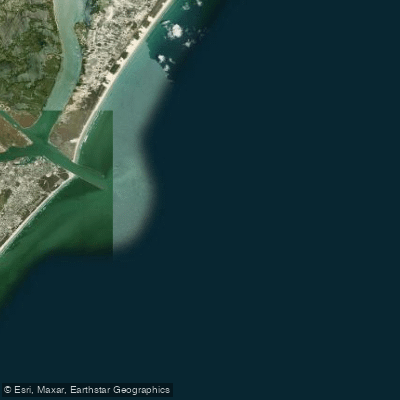
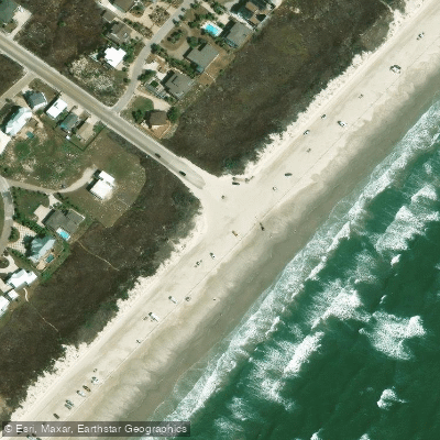
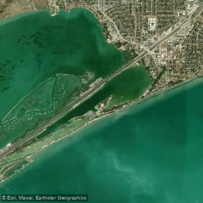
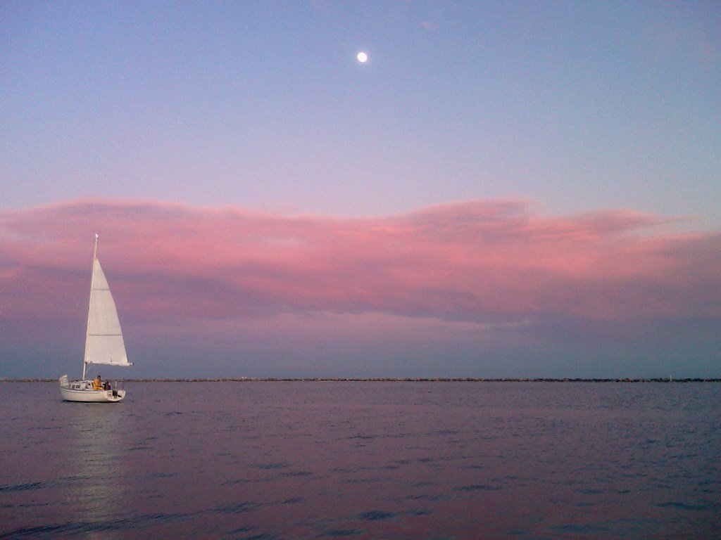
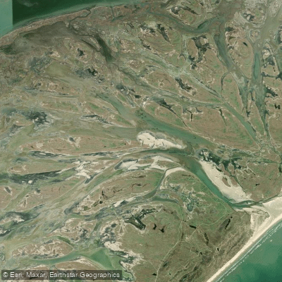
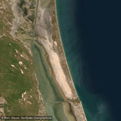
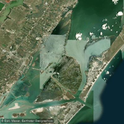
Aransas Pass is a coastal saltwater pass and estuary system on the Texas Gulf Coast, connecting the Gulf of Mexico with Aransas and Corpus Christi Bays. The area is a premier paddling destination, most famous for the Lighthouse Lakes Paddling Trail complex. This system, the first designated Texas Paddling Trail, consists of four marked loops ranging from 1.25 to 6.8 miles that meander through an extensive black mangrove estuary, sloughs, and shallow back lakes. The trails are accessed from points along the Texas Highway 361 causeway, approximately six miles south of Aransas Pass. Key launch points include the city-maintained Lighthouse Lakes Trail Park for the Cutters Loop, Crabman Marina for the South Bay Loop, and a site for the Redfish Loop, all with provided GPS coordinates. The water is shallow, calm, and protected, with no significant open-ocean exposure, making it suitable for beginners, though kayaks are recommended over canoes due to strong, prevailing southeasterly winds. Paddlers must be mindful of commercial and recreational boat traffic when crossing the main Aransas Channel to reach the trailheads. The area offers outstanding birdwatching and features views of the historic 1857 Lydia Ann Lighthouse on North Harbor Island, Texas's last manned, functional lighthouse. Other nearby public launch points include Conn Brown Harbor Point Park, noted for calm, sheltered water, and Ransom Park, which provides access to Redfish Bay near Stedman and Ransom Islands. The paddling season is generally good from early spring through November, with water conditions heavily influenced by tide levels, wind, and water temperature. Guided tours and kayak rentals are available from local outfitters in the area.
Water access, boat ramps & amenities
Learn how to get on Aransas Pass. Uncover great paddling access points, boat ramps, and all the facilities you need for an unforgettable day on the water. Some locations shown may border or include private property. Always check property boundaries and applicable regulations before visiting. PaddleWays's Public & Private Land layer can help you plan your access with confidence.
Paddle smarter with real-time insights
Whether you're en route and conditions shift or you're looking for the best spot based on current flows, we enable you to make informed decisions on the fly.








Find Places to Paddle

Over 400,000 Places to Paddle
Every user gets free access to launch points, boat ramps, and public property parcels.


Tides, wind & water conditions (10 day forecast)
On open water, wind and tide matter as much as the weather. See the best times to paddle Aransas Pass and check the marine forecast before you launch.
Loading tide predictions…
Paddling near Aransas Pass
Explore Texas waters
Top paddling waters
Popular Cities
Loading popular cities...
Explore near Aransas Pass

Smarter Paddling Starts in the App.
Paddleways gives you everything you need to plan smarter, paddle better, and own every trip from first launch to takeout.