Corpus Christi Bay
- Saltwater
- Bay
Corpus Christi Bay
- Saltwater
- Bay
- Sq. miles
- 132
- Boat Ramps
- 0
- Access Points
- 1
- Campsites
- 3
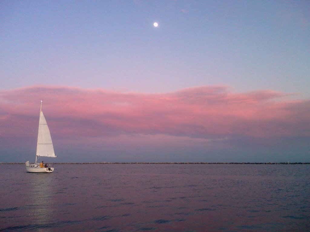
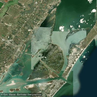
Corpus Christi Bay is a large, open coastal bay on the Texas Gulf Coast, offering paddlers a mix of protected shoreline trails and exposed open water. The bay is bordered by the city of Corpus Christi to the west and the barrier islands of Mustang and Padre Island to the east, creating diverse paddling environments. A primary feature for paddlers is the Mustang Island Paddling Trail, a series of marked routes along the bay's western shoreline. This trail system includes the North Trail (8.5 miles), the Shamrock Loop (5.24 miles), and the Ashum Trail (6.8 miles), which follow the firm sand bottom near Mustang Island and meander through marshes and around spoil islands. Key public access points for these trails are Wilson's Cut, Fish Pass on Mustang Island State Park, and Island Moorings Marina in Port Aransas. Wilson's Cut and Fish Pass have sandy entrance roads where higher-clearance vehicles are recommended. Another popular launch area is North Beach in Corpus Christi, near downtown and the Texas State Aquarium, where rental services are available.
Paddlers must be highly aware of significant boat traffic, including sailboats, powerboats, ocean tankers, and freighters using the deep channels to the Port of Corpus Christi. The bay is known for consistent winds, making it a world-class destination for wind sports; paddlers should check wind direction and strength as conditions can change from sheltered to very exposed. While some areas like Wilson's Cut offer calm, sheltered water suitable for beginners, the open bay presents hazards from wind-driven waves and the wake from large vessels. The bay's waters are tidal, and paddling around slack tide is recommended for the easiest conditions. Wildlife viewing is a major draw, with opportunities to see dolphins, and extensive birdlife in the mangrove estuaries and marsh areas. The water is generally shallow in many areas near the shorelines, particularly along the Mustang Island paddling trails. Facilities at launches vary, with some offering basic boat ramps and parking, while others like Island Moorings Marina require a carry from the parking lot to the dock. The paddling season is considered year-round due to the warm climate, with average high temperatures ranging from the 70s to 90s Fahrenheit for much of the year.
Water access, boat ramps & amenities
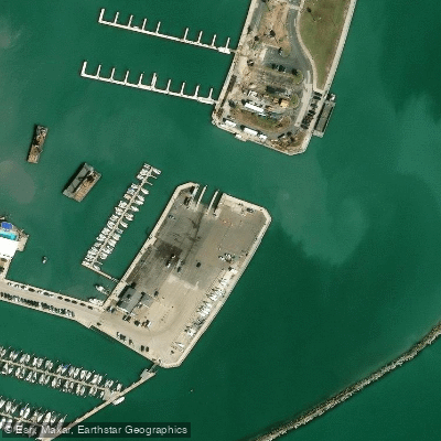
Learn how to get on Corpus Christi Bay. Uncover great paddling access points, boat ramps, and all the facilities you need for an unforgettable day on the water. Some locations shown may border or include private property. Always check property boundaries and applicable regulations before visiting. PaddleWays's Public & Private Land layer can help you plan your access with confidence.
Paddle smarter with real-time insights
Whether you're en route and conditions shift or you're looking for the best spot based on current flows, we enable you to make informed decisions on the fly.








Find Places to Paddle

Over 400,000 Places to Paddle
Every user gets free access to launch points, boat ramps, and public property parcels.


Tides, wind & water conditions (10 day forecast)
On open water, wind and tide matter as much as the weather. See the best times to paddle Corpus Christi Bay and check the marine forecast before you launch.
Loading tide predictions…
Paddling near Corpus Christi Bay
Explore Texas waters
Top paddling waters
Popular Cities
Loading popular cities...
Explore near Corpus Christi Bay
Access points
Nearby waters
More in Texas

Smarter Paddling Starts in the App.
Paddleways gives you everything you need to plan smarter, paddle better, and own every trip from first launch to takeout.