Shamrock Cove
- Saltwater
- Cove
Shamrock Cove
- Saltwater
- Cove
- Sq. miles
- 7.3
- Boat Ramps
- 0
- Access Points
- 0
- Campsites
- 3
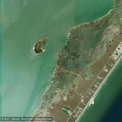
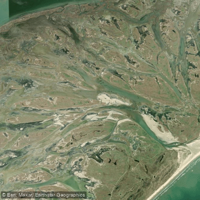
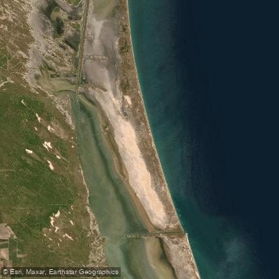
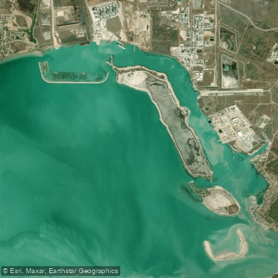
Shamrock Cove is a coastal feature on the western, bay side of Mustang Island, forming part of the extensive Mustang Island State Park Paddling Trail system within Corpus Christi Bay. The primary public access for paddlers is Wilson's Cut, a sandy launch on private property located on the west side of Highway 361 approximately 8.4 miles from the Port Aransas Ferry dock, directly across from the Seagull and Sandpiper Condominiums sign. The entrance road is sandy and can develop large depressions after rain, requiring higher-clearance vehicles. Parking space is limited. Paddlers are expected to stay near the put-in and remove all trash. The cove itself is having beautiful, protected waters, making it a calm paddling environment. It is the focal point of the 5.24-mile Shamrock Loop Trail, which skirts its shoreline and connects with the longer North Trail. The area is known for outstanding bird watching, with remote bird-nesting islands, and the surrounding bay bottom is firm sand. The paddling trails follow the western shoreline of Mustang Island, passing through marsh areas and by spoil islands. Another official access point for the broader trail network is Fish Pass within Mustang Island State Park, located further south on Highway 361. Fall is a particularly good season for paddling here due to milder temperatures. The area experiences significant fishing and boating pressure, which paddlers should be aware of when navigating.
Water access, boat ramps & amenities
Learn how to get on Shamrock Cove. Uncover great paddling access points, boat ramps, and all the facilities you need for an unforgettable day on the water. Some locations shown may border or include private property. Always check property boundaries and applicable regulations before visiting. PaddleWays's Public & Private Land layer can help you plan your access with confidence.
Paddle smarter with real-time insights
Whether you're en route and conditions shift or you're looking for the best spot based on current flows, we enable you to make informed decisions on the fly.








Find Places to Paddle

Over 400,000 Places to Paddle
Every user gets free access to launch points, boat ramps, and public property parcels.


Tides, wind & water conditions (10 day forecast)
On open water, wind and tide matter as much as the weather. See the best times to paddle Shamrock Cove and check the marine forecast before you launch.
Loading tide predictions…
Paddling near Shamrock Cove
Explore Texas waters
Top paddling waters
Popular Cities
Loading popular cities...
Explore near Shamrock Cove

Smarter Paddling Starts in the App.
Paddleways gives you everything you need to plan smarter, paddle better, and own every trip from first launch to takeout.