Nueces Bay
- Saltwater
- Bay
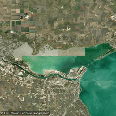
Nueces Bay
- Saltwater
- Bay
- Sq. miles
- 27
- Boat Ramps
- 0
- Access Points
- 2
- Campsites
- 0
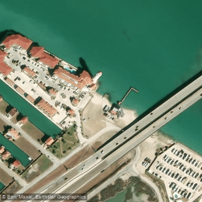
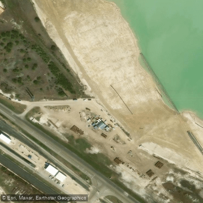
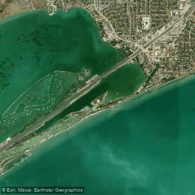
Nueces Bay is a shallow, open coastal bay located near Corpus Christi, Texas. It is characterized by a calmer stretch of open water near North Beach, but the back portions of the bay are less accessible for powerboats and can require significant paddling distances to reach. The bay's shallow nature means larger vessels may have difficulty navigating, which can reduce heavy boat traffic in many areas, though channels used by ships exist. Primary paddler access points include the JFK Causeway, Packery Channel Boat Ramp, Bluff’s Landing, Indian Point Park, and Parkview Place in Corpus Christi. On the north shore, the Chris Andrews Boat Launch in Portland provides self-serve kayak rentals. For the south shoreline, there are two fishing access points along the Joe Fulton Corridor. Launches at Labonte Park on the Nueces River are being in a high-crime area where vehicles may be at risk. Wind is a major safety consideration, with conditions capable of creating significant whitecaps and rough water that can make launching difficult; early mornings typically offer calmer winds. Paddlers must be prepared for open bay conditions with significant fetch, requiring familiarity with local tides and currents. The area is known for oyster bars. Notable sights include a stone lighthouse and the potential to see dolphins and a variety of birdlife in the marsh habitats. The Nueces Bay Rookery Islands Restoration Project is creating new islands that provide fish and bird habitat. Given the reported hazards, including a fatal kayaking incident, a high degree of preparedness is essential, including wearing a PFD, checking weather forecasts, and carrying safety gear like whistles and communication devices.
Water access, boat ramps & amenities
Learn how to get on Nueces Bay. Uncover great paddling access points, boat ramps, and all the facilities you need for an unforgettable day on the water. Some locations shown may border or include private property. Always check property boundaries and applicable regulations before visiting. PaddleWays's Public & Private Land layer can help you plan your access with confidence.
Paddle smarter with real-time insights
Whether you're en route and conditions shift or you're looking for the best spot based on current flows, we enable you to make informed decisions on the fly.








Find Places to Paddle

Over 400,000 Places to Paddle
Every user gets free access to launch points, boat ramps, and public property parcels.


Tides, wind & water conditions (10 day forecast)
On open water, wind and tide matter as much as the weather. See the best times to paddle Nueces Bay and check the marine forecast before you launch.
Loading tide predictions…
Paddling near Nueces Bay
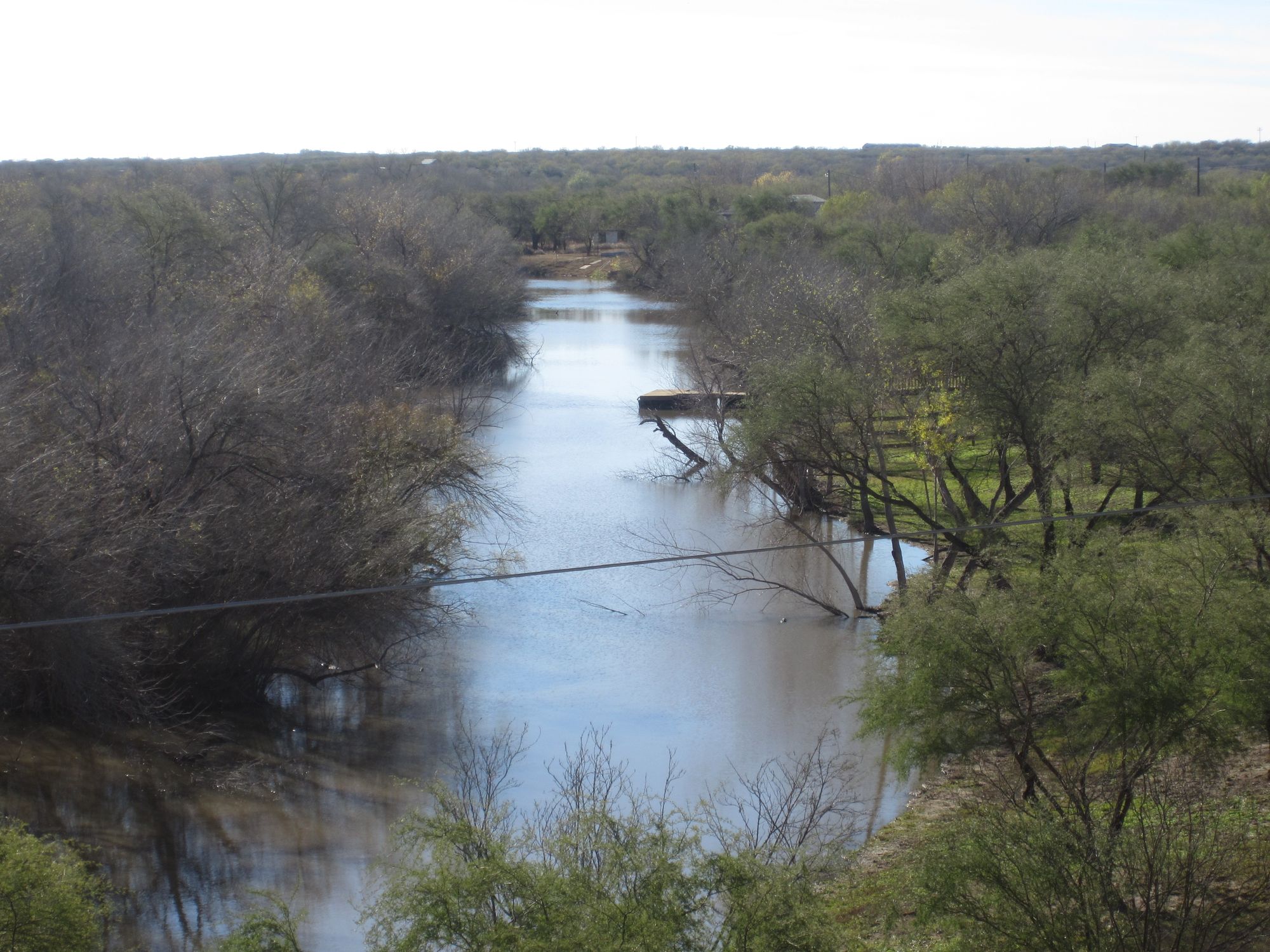
Nueces River
Guadalupe River
Corpus Christi Bay
San Antonio River
Sunset Lake
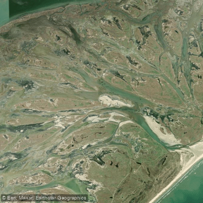
Vinson Slough
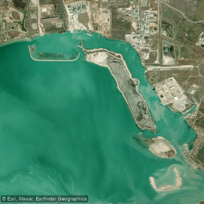
Ingleside Cove
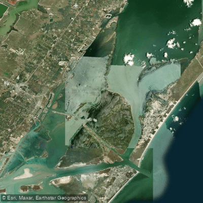
Redfish Bay
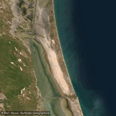
Laguna Madre
Explore Texas waters
Top paddling waters
Popular Cities
Loading popular cities...
Explore near Nueces Bay

Smarter Paddling Starts in the App.
Paddleways gives you everything you need to plan smarter, paddle better, and own every trip from first launch to takeout.