Port Mansfield Channel
- Saltwater
- Channel
Port Mansfield Channel
- Saltwater
- Channel
- Sq. miles
- 36
- Boat Ramps
- 0
- Access Points
- 2
- Campsites
- 0
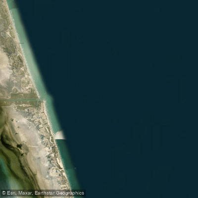
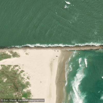
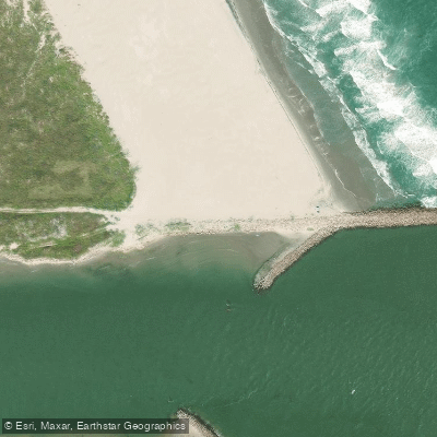
The Port Mansfield Channel is a man-made shipping channel cut through Padre Island in 1962, formally dividing North and South Padre Islands. It connects the Gulf of Mexico to the Laguna Madre, a large, shallow bay. The channel itself is approximately 500 feet wide at its crossing point. For paddlers, the primary use of the channel is as a crossing point, particularly for those on extended coastal journeys like the Texas Coast Bikerafting Route, as there is no dry land route across the island here. A crossing requires launching from the beach, which involves navigating behind the rock jetties to find a suitable sandy launch point, a process that may involve pushing through deep, soft sand. The crossing is quick but requires vigilance for boat traffic, as this is an active shipping channel. Once across, paddlers can access the expansive, undeveloped beaches of the Padre Island National Seashore to the north or the southern portions of the island.
Tidal influence is present, with a typical tidal range of less than one meter, as indicated by high tides around 0.8 meters and low tides around 0.2 meters. The Laguna Madre, which the channel accesses, is a large, shallow body of water with an average depth of less than 3 feet, which can create significant fetch and build waves of about 1 foot even with a mile of open water. Wind is a dominant factor, with conditions often becoming poor or very poor for small craft as breezes build throughout the day, frequently reaching 15-20 mph from southerly directions. The area is exposed, with the mainland a distant line on the horizon. The channel entrance on the Gulf side features jetties, and surf forecasts for this area typically show wave heights of 1-3 feet, indicating a surf zone that must be navigated for entry or exit. The water in the Laguna Madre is clear and shallow, with undredged areas and spoil islands within the channel itself providing points of interest and potential refuge. The region is remote, with spotty cell service, and the night skies over the adjacent national seashore are notably dark due to minimal light pollution.
Water access, boat ramps & amenities
Learn how to get on Port Mansfield Channel. Uncover great paddling access points, boat ramps, and all the facilities you need for an unforgettable day on the water. Some locations shown may border or include private property. Always check property boundaries and applicable regulations before visiting. PaddleWays's Public & Private Land layer can help you plan your access with confidence.
Paddle smarter with real-time insights
Whether you're en route and conditions shift or you're looking for the best spot based on current flows, we enable you to make informed decisions on the fly.








Find Places to Paddle

Over 400,000 Places to Paddle
Every user gets free access to launch points, boat ramps, and public property parcels.


Tides, wind & water conditions (10 day forecast)
On open water, wind and tide matter as much as the weather. See the best times to paddle Port Mansfield Channel and check the marine forecast before you launch.
Loading tide predictions…
Paddling near Port Mansfield Channel

Rio Grande
Laguna Atascosa
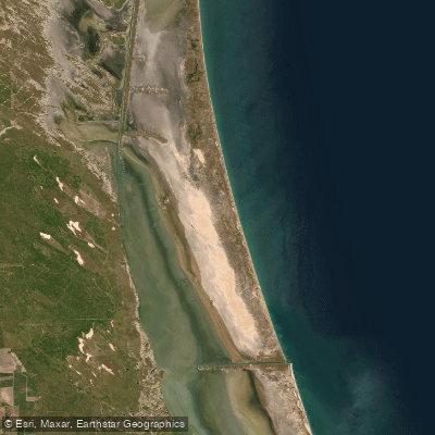
Laguna Madre
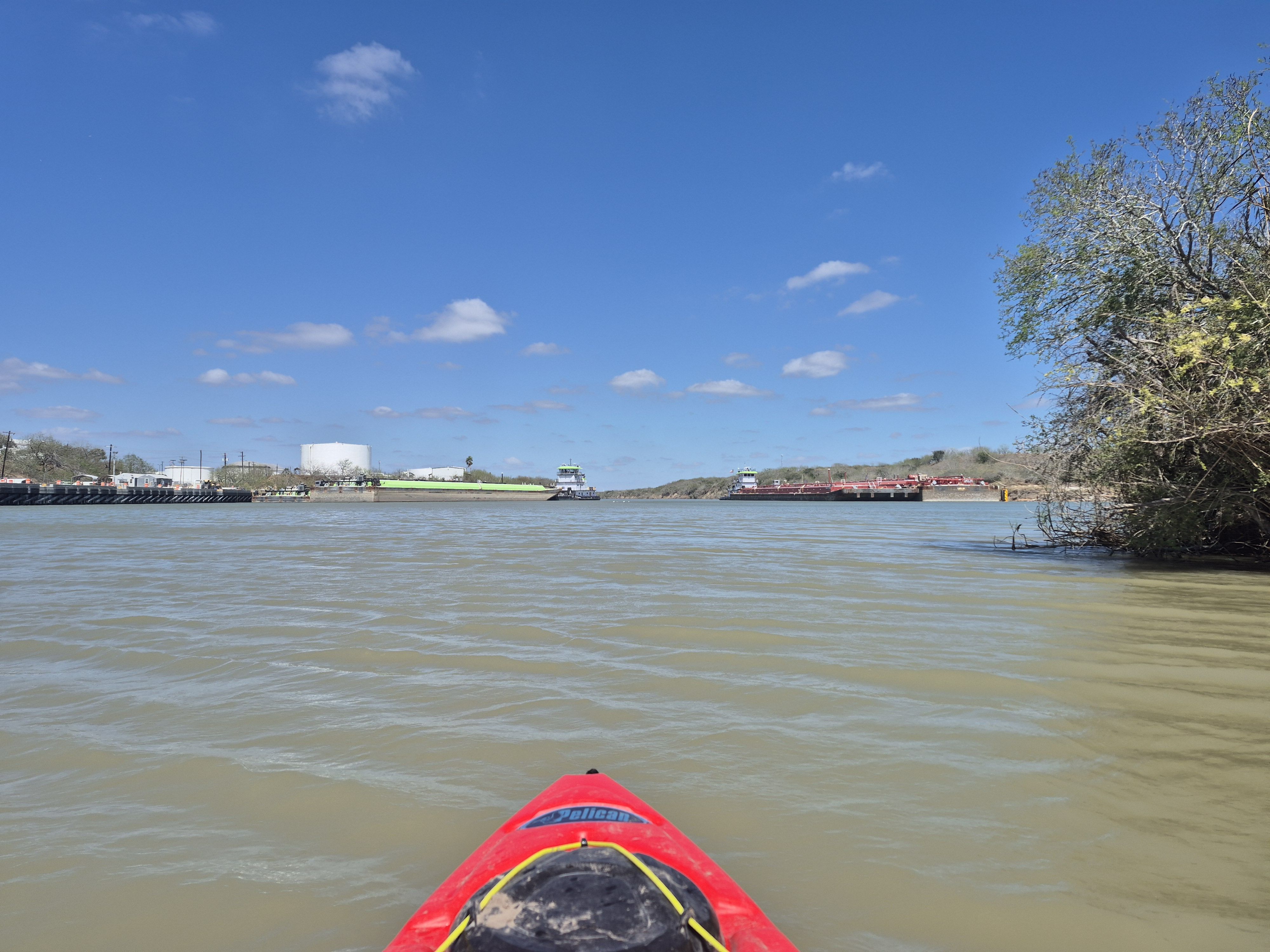
Arroyo Colorado
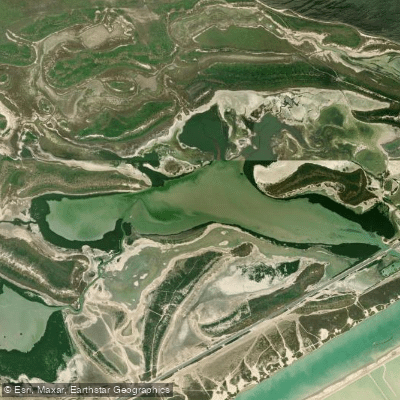
San Martin Lake
Brazos Santiago Pass
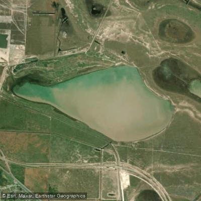
Loma Alta Lake
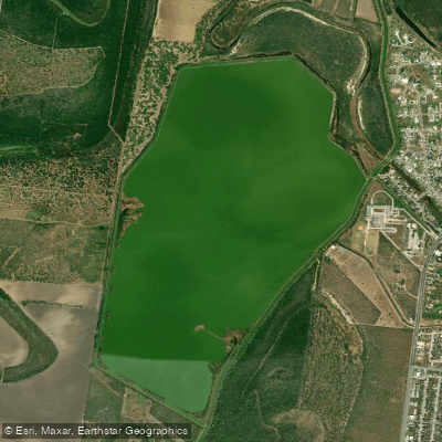
Resaca de La Palma Reservoir
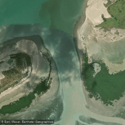
South Bay Pass
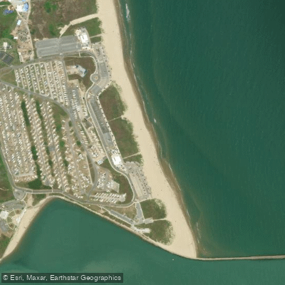
Isla Blanca Beach
Explore Texas waters
Top paddling waters
Popular Cities
Loading popular cities...
Explore near Port Mansfield Channel

Smarter Paddling Starts in the App.
Paddleways gives you everything you need to plan smarter, paddle better, and own every trip from first launch to takeout.