Bellwood Lake
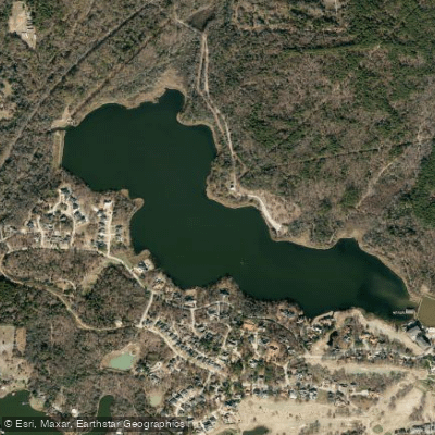
Bellwood Lake
- Boat Ramps
- 1
- Access Points
- 1
- Campsites
- 0
Bellwood Lake is a 170-acre reservoir in west Tyler, Texas, created by an earthen dam across Indian Creek, a tributary of the Neches River. The historic dam, built in 1894 and listed on the National Register of Historic Places, creates a lake with a capacity of 1,391 acre-feet and a spillway crest elevation of 426 feet above sea level.
The lake is owned and controlled by the City of Tyler and serves as a reserved surface water source, making water quality protection a priority. Limited recreational access is available on the north shore via Bellwood Lake Drive off Texas Highway 31. The southern shoreline is bordered by The Cascades development, with Cascades Shoreline Drive providing access along that bank.
The lake and its surrounding 185 acres of city-owned land are used for recreational purposes, though facilities and access points are limited on the north shore. The surrounding landscape features The Cascades development, which includes hiking trails and recreational amenities, while the northern shore maintains a more natural character.
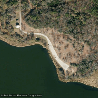
Road 1243 provides access from Bellwood Lake Drive to the dam area. The lake's relatively small size makes it suitable for day trips. The shoreline currently lacks designated launch points or paddling facilities. Given its primary role as a potential drinking water source, paddlers should be particularly mindful of maintaining water quality.
The lake exists within Tyler's Piney Woods region, offering paddlers views of East Texas woodland scenery. While recreational use is permitted, paddlers should be aware that the lake's primary purpose remains that of a municipal water reserve, which may influence access and usage policies.
Water access, boat ramps & amenities
Learn how to get on Bellwood Lake. Uncover great paddling access points, boat ramps, and all the facilities you need for an unforgettable day on the water. Some locations shown may border or include private property. Always check property boundaries and applicable regulations before visiting. PaddleWays's Public & Private Land layer can help you plan your access with confidence.
Paddle smarter with real-time insights
Whether you're en route and conditions shift or you're looking for the best spot based on current flows, we enable you to make informed decisions on the fly.








Find Places to Paddle

Over 400,000 Places to Paddle
Every user gets free access to launch points, boat ramps, and public property parcels.


Water and weather conditions (10 day forecast)
See the best times to paddle Bellwood Lake and check the forecast before you go.
No forecast data available.
Paddling near Bellwood Lake
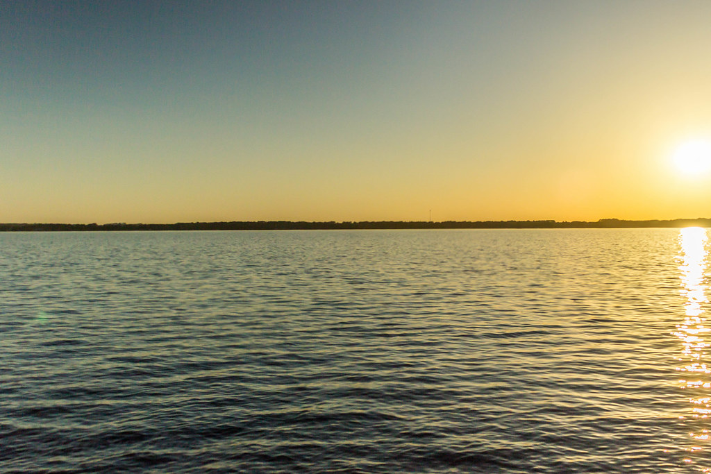
Lake Palestine
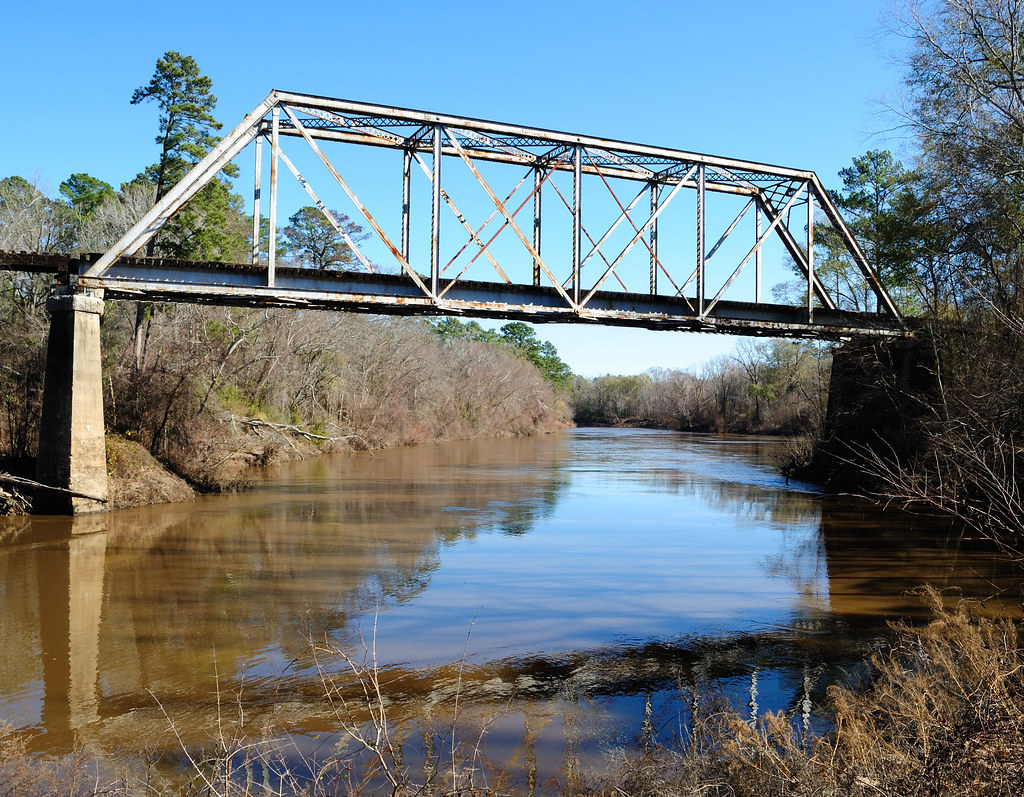
Neches River
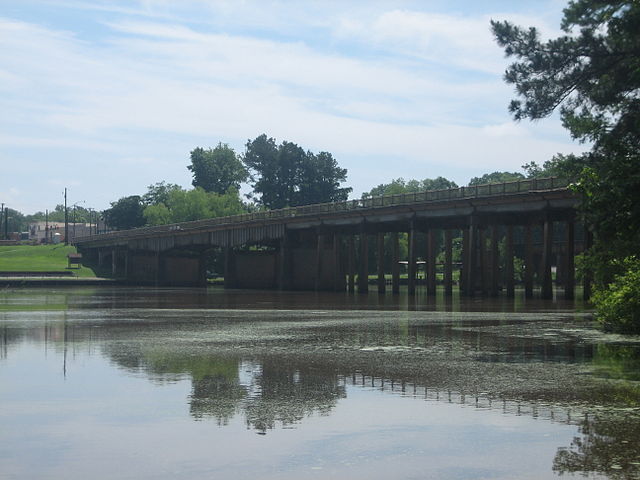
Sabine River
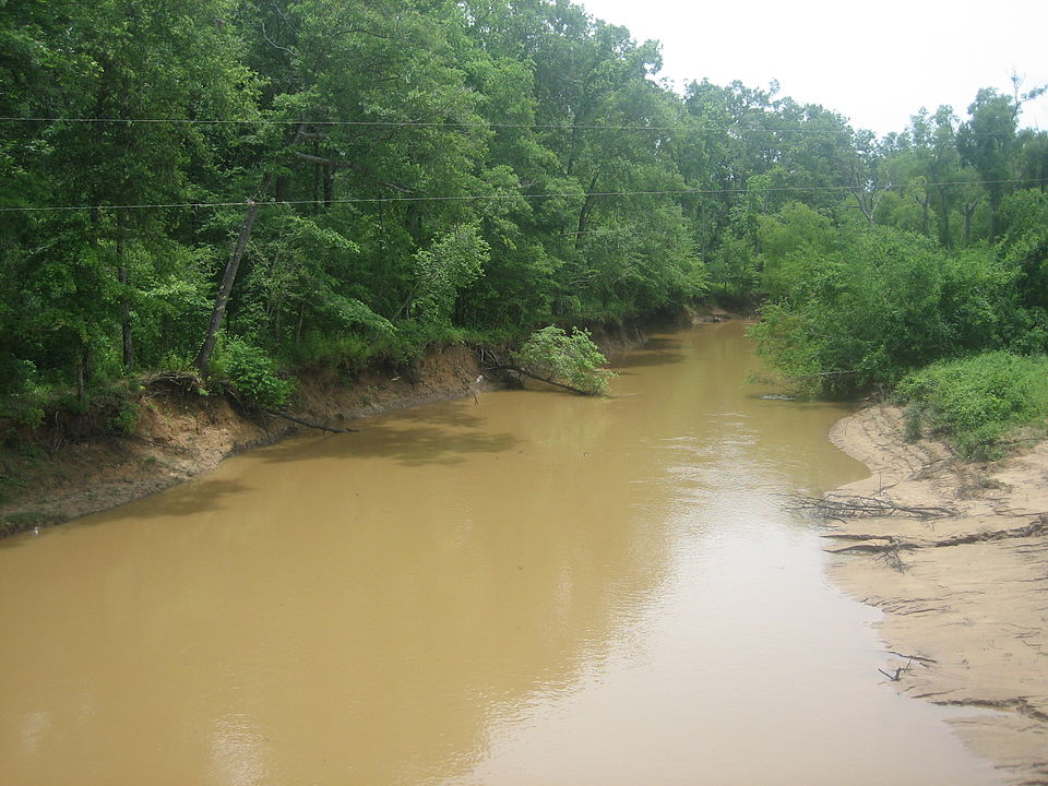
Angelina River
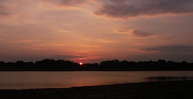
Lake Tawakoni
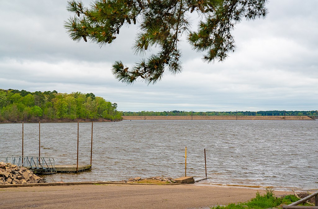
Lake O' the Pines

Trinity River
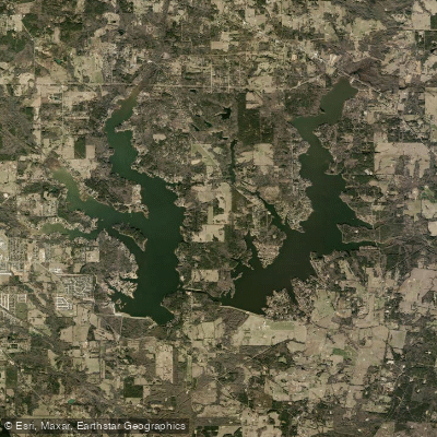
Lake Tyler
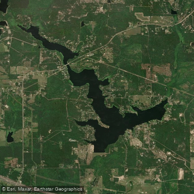
Lake Hawkins
Explore Texas waters
Top paddling waters
Popular Cities
Loading popular cities...
Explore near Bellwood Lake

Smarter Paddling Starts in the App.
Paddleways gives you everything you need to plan smarter, paddle better, and own every trip from first launch to takeout.