Lake Palestine
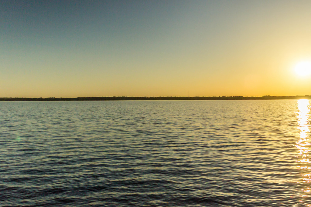
Lake Palestine
- Boat Ramps
- 15
- Access Points
- 20
- Campsites
- 1
Lake Palestine is an 18-mile long, 25,560-acre reservoir located in eastern Texas, just south of the city of Chandler. The lake offers diverse paddling opportunities, from exploring the Upper Neches River to venturing out onto open water. Paddlers can access the lake via the Chandler River Park, which features a kayak and canoe launch on the north side of Highway 31. An alternate access point is available at Westberry RV park boat ramp.
The Chandler Upper Neches Paddling Trail provides a unique paddling experience, allowing enthusiasts to navigate both river and lake environments. This 1-8 mile loop trail can typically be completed in 1-4 hours, depending on water levels and chosen route. Paddlers should be aware of potential hazards such as snags, especially during high or low water conditions. The Neches River is unrestrained by flood control dams, making it susceptible to rapid changes in water levels and flow rates after heavy rains.
Wildlife viewing is a highlight of paddling on Lake Palestine. The area is home to over 100 bird species, including migratory waterfowl during cooler months. Bald eagles are often spotted soaring overhead, and deer can be seen along the shorelines. The lake supports a variety of fish species, with white bass runs in the spring being particularly notable.
Facilities at Chandler River Park include covered picnic areas, parking lots, and nearby bait and tackle stores. The park also offers a 1.32-mile nature walk for those looking to explore on land. Paddlers should respect private property along the shorelines and be aware that only the streambed and banks necessary for portaging hazards are considered public use areas.
Lake Palestine provides year-round paddling opportunities, though spring is especially popular due to white bass spawning runs. The lake's proximity to Tyler and Athens makes it an accessible destination for day trips. Paddlers should always check current conditions and be prepared for changing weather, as the lake can experience rapid shifts in water levels and quality.
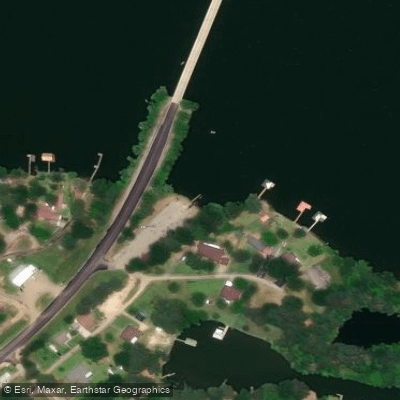
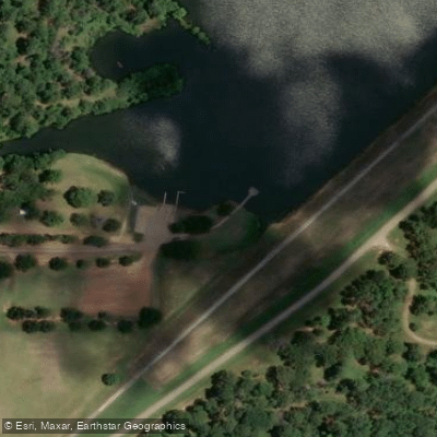
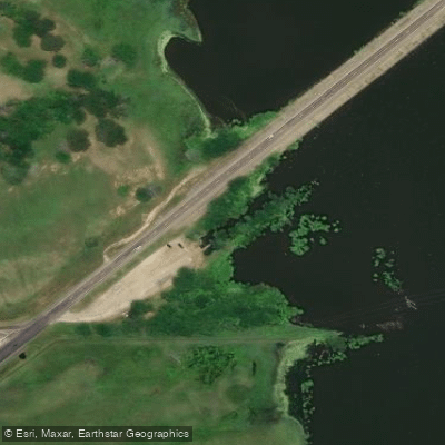
Water access, boat ramps & amenities
Learn how to get on Lake Palestine. Uncover great paddling access points, boat ramps, and all the facilities you need for an unforgettable day on the water. Some locations shown may border or include private property. Always check property boundaries and applicable regulations before visiting. PaddleWays's Public & Private Land layer can help you plan your access with confidence.
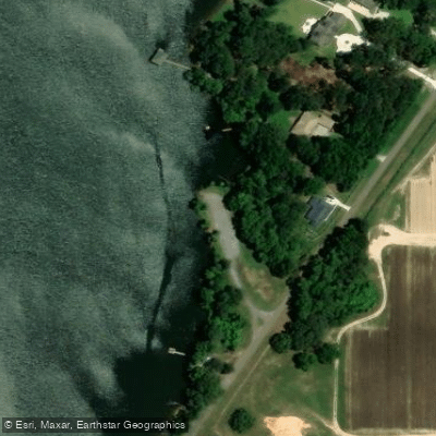
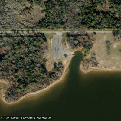
Paddle smarter with real-time insights
Whether you're en route and conditions shift or you're looking for the best spot based on current flows, we enable you to make informed decisions on the fly.








Find Places to Paddle

Over 400,000 Places to Paddle
Every user gets free access to launch points, boat ramps, and public property parcels.


Water and weather conditions (10 day forecast)
See the best times to paddle Lake Palestine and check the forecast before you go.
No forecast data available.
Paddling near Lake Palestine
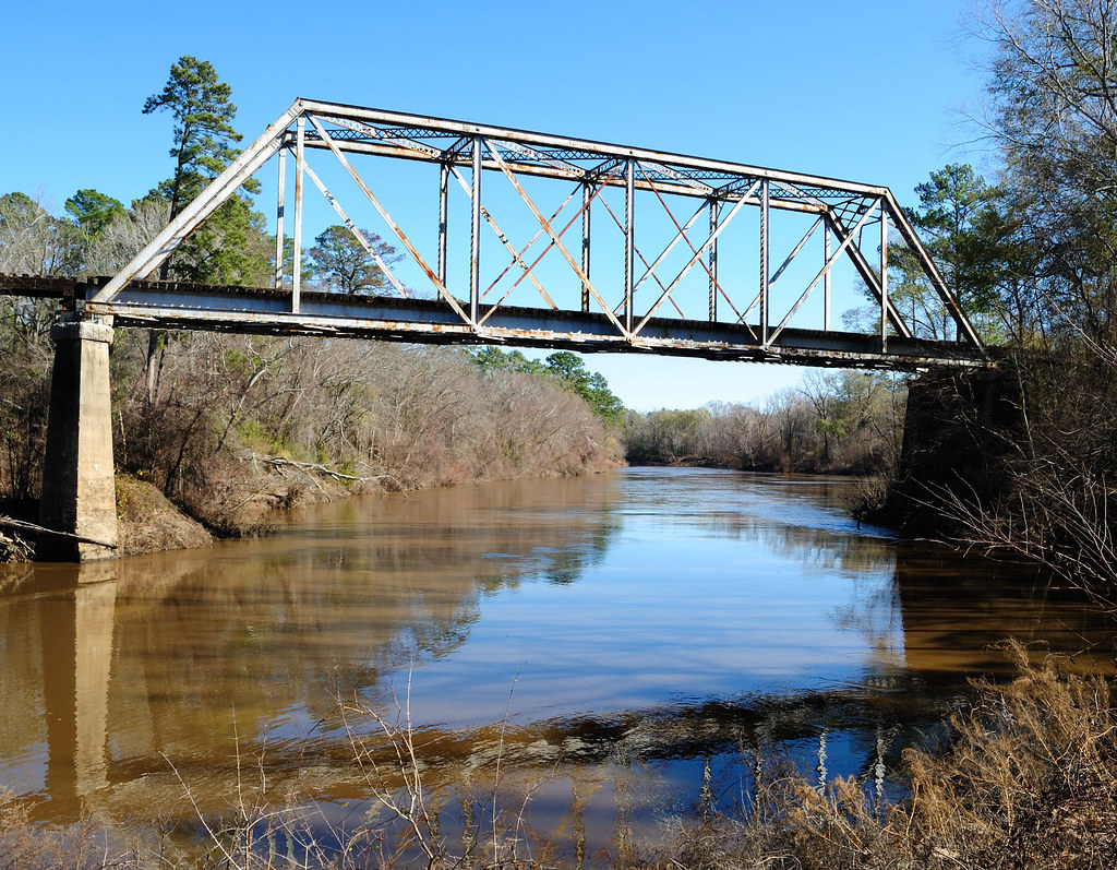
Neches River
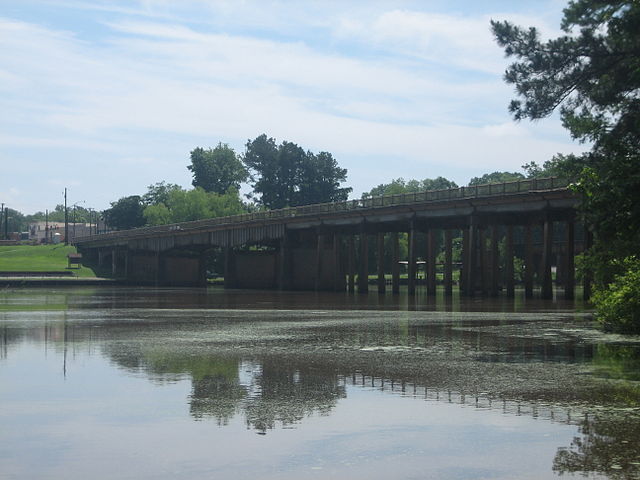
Sabine River
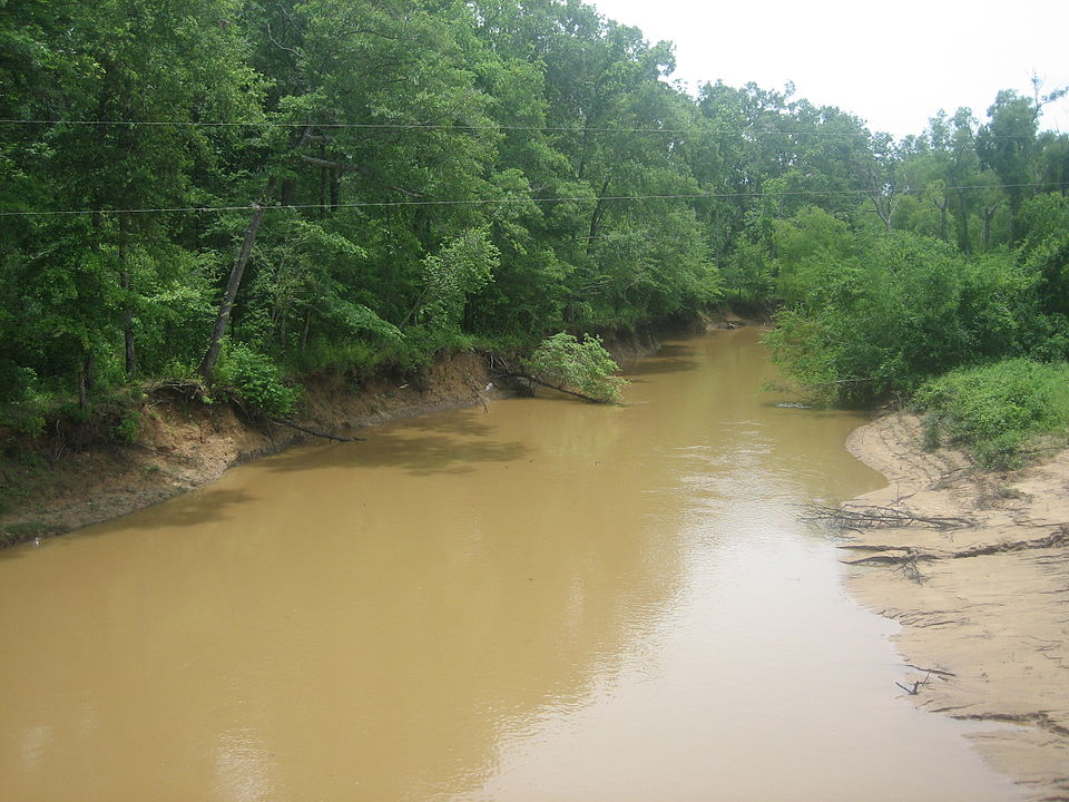
Angelina River
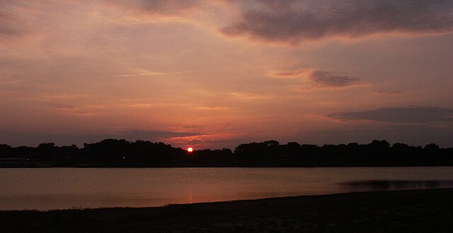
Lake Tawakoni
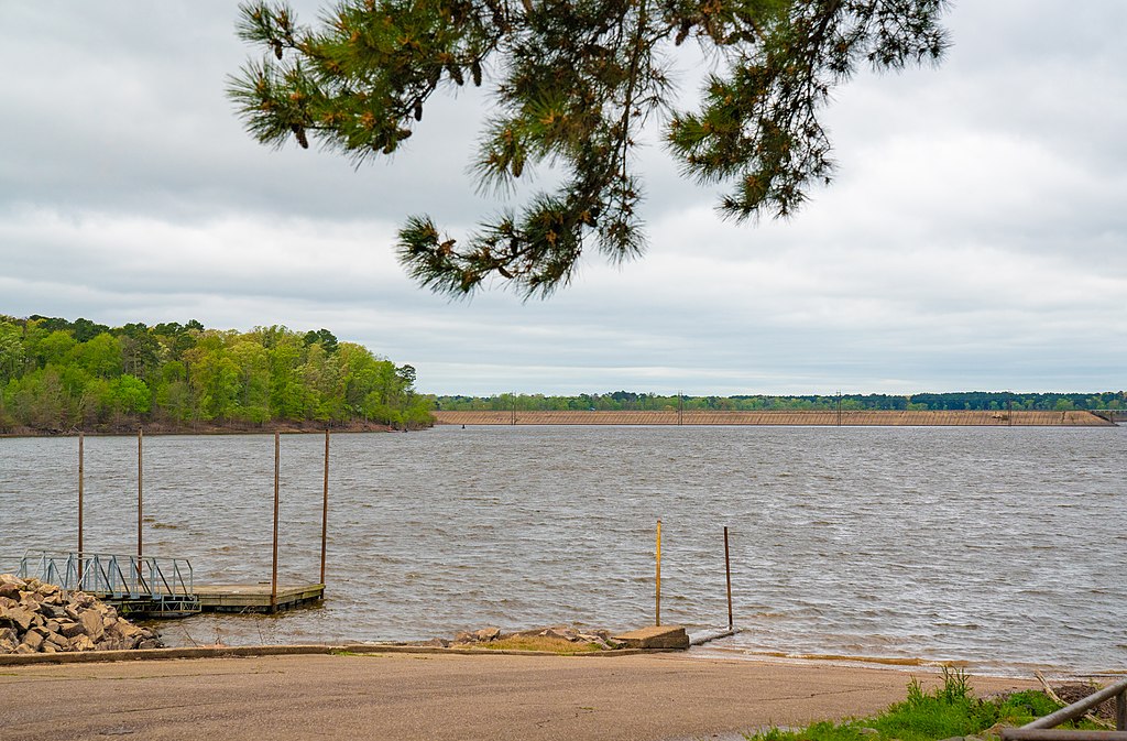
Lake O' the Pines

Trinity River
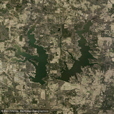
Lake Tyler
Bellwood Lake
Lake Hawkins
Explore Texas waters
Top paddling waters
Popular Cities
Loading popular cities...
Explore near Lake Palestine
Access points
- Lake Palestine Boat Ramp
- Lake Palestine Boat Ramp
- Lake Palestine Boat Ramp
- Lake Palestine Boat Ramp
- Lake Palestine Boat Ramp
- Pinehaven Park Drive Boat Ramp
- Lakeside Getaway Boat Ramp
- Beacon Point Boat Ramp
- Lake Palestine Boat Ramp
- Villages Marina Boat Ramp
- Lake Palestine Boat Ramp
- Lake Palestine Boat Ramp
- All 24 spots
Nearby waters
More in Texas

Smarter Paddling Starts in the App.
Paddleways gives you everything you need to plan smarter, paddle better, and own every trip from first launch to takeout.