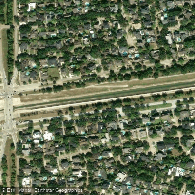
Curated by PaddleWays
RouteFlatwater
- Distance
- 5.3 mi
- Paddle time
- ~2 hrs
- Best for
- Kayak, canoe
- Put-in → take-out
- Bayou Bridge Access → Hermann Park Access
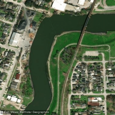
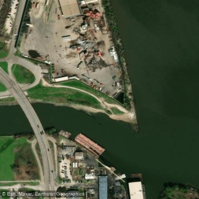
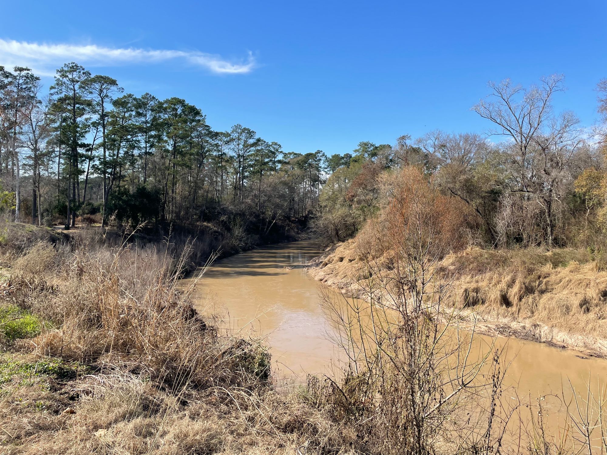
Brays Bayou is a significant urban waterway that flows through the heart of Houston, Texas. Originating in Fort Bend County, this 31-mile long bayou travels eastward through Houston's diverse neighborhoods, eventually emptying into the Houston Ship Channel. As it winds through the city, Brays Bayou plays a crucial role in Houston's flood control system and offers unique recreational opportunities for urban paddlers.
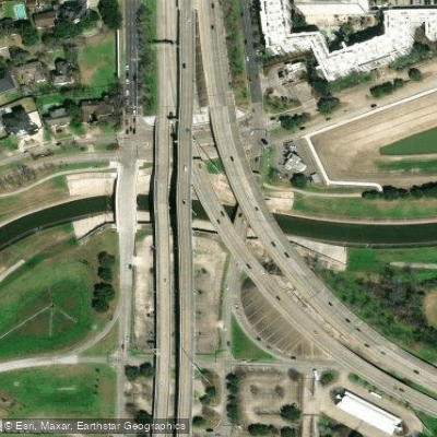
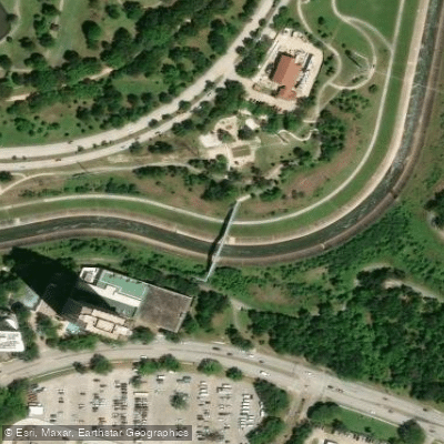
The bayou's most notable paddling section is the Brays Bayou Paddle Trail, which stretches approximately 5 miles from just inside Loop 610 to Hermann Park. This flatwater trail provides an intriguing urban paddling experience, allowing kayakers and canoeists to navigate through Houston's Medical City area, past Hermann Park, and alongside the University of Houston and MacGregor Park. The absence of motorized boat traffic on portions of this stretch makes it particularly appealing for paddlers seeking a tranquil urban adventure.
Paddling difficulty on Brays Bayou is generally classified as flatwater, making it suitable for beginners and intermediate paddlers. However, urban paddling presents its own challenges, including potential debris and fluctuating water levels, especially after heavy rains. Paddlers should always check current conditions and water quality before embarking on their journey.
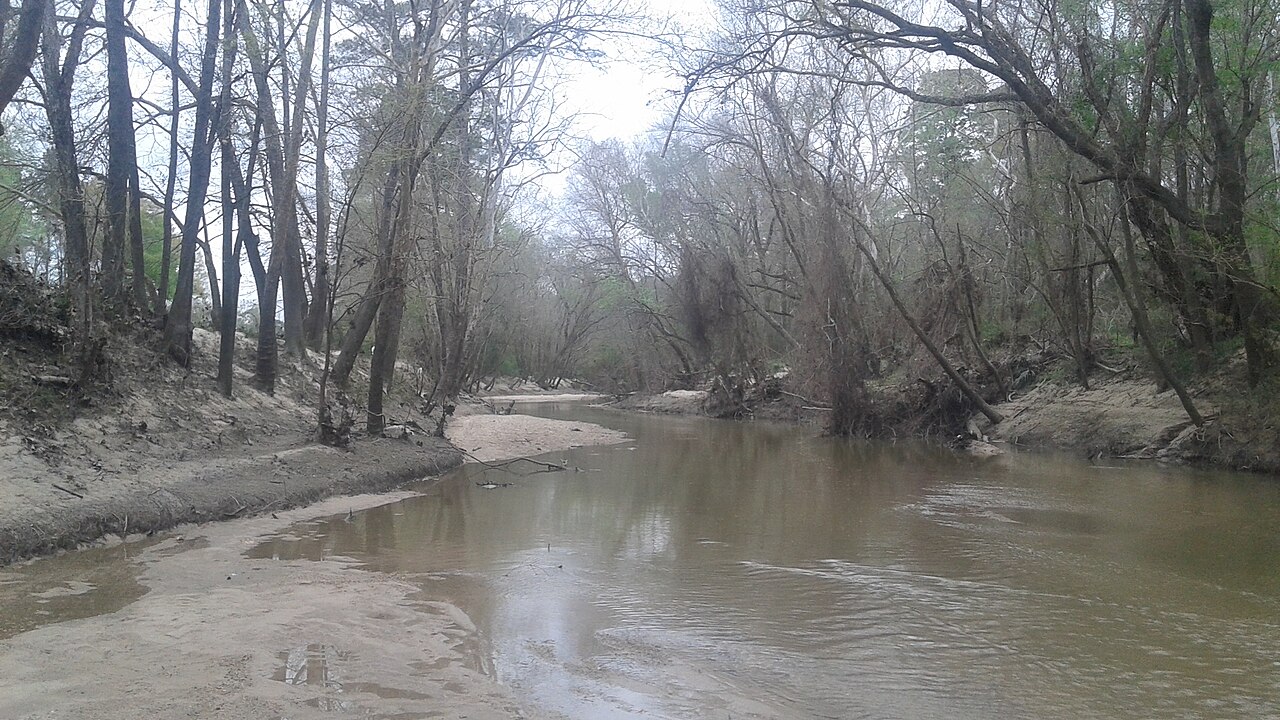
The bayou's ecosystem supports a variety of urban wildlife, including herons, egrets, and turtles. Paddlers may also observe the interplay between natural elements and urban infrastructure as they glide past parks, bridges, and city landscapes.
Key access points for the Brays Bayou Paddle Trail include the put-in just inside Loop 610 and the take-out at Hermann Park, both located in Houston. The Brays Bayou Hike and Bike Trail, which runs alongside the waterway, provides additional access points and enhances the area's recreational value.
Historically, Brays Bayou has played a significant role in Houston's development and flood management efforts. Today, it continues to be an important part of the city's drainage system while also serving as a recreational asset.
Safety considerations for paddlers include being aware of water quality issues, especially after rain events, and staying alert to urban hazards such as low-hanging branches and occasional litter. While multi-day trips are not typical on this urban waterway, the Brays Bayou Paddle Trail offers an excellent day-trip option for those looking to explore Houston from a unique perspective.
The Brays Bayou Paddle Trail Coalition has been instrumental in establishing launch sites along the bayou and is working towards full accreditation by Texas Parks and Wildlife Department, pending the completion of construction on several bridges. This ongoing development promises to further enhance the paddling experience on this distinctive urban waterway.
Curated routes
Hand-picked by the PaddleWays team, with put-ins, take-outs, paddle times and the hazards along the way.
RouteFlatwater
Hazards
No hazards are marked on Brays Bayou yet. That is not the same as none being there: if you find one, report it for the next paddler.
From the community
Nobody has shared a trip on Brays Bayou yet. Paddle it, then tell the next paddler how it went.
See exactly where the public can get on and off the river. Launch points and boat ramps are paired with PaddleWays' public land data so you know where you can legally land.
Public shoreline
57%of the river's shoreline is public
Flows, weather and a route-by-route verdict, so you know which stretch of the Brays Bayou is worth paddling today.
All Flow Stations
Live flows, marked hazards and fresh trip reports from paddlers who were just on the water, all in one place.





Every user gets free access to launch points, boat ramps, and public property parcels.
Loading popular cities...
PaddleWays gives you everything you need to plan smarter, paddle better, and own every trip from first launch to takeout.