Curated by PaddleWays
RouteClass I–II
- Distance
- 3 mi
- Paddle time
- ~1 hr
- Put-in → take-out
- Rabb House → County Road 123
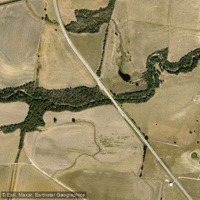
Brushy Creek originates west of Cedar Park in southwestern Williamson County and flows eastward for approximately 75 miles through Williamson and Milam counties before joining the San Gabriel River five miles north of Rockdale. This major tributary traverses one of the fastest-growing regions in Texas, with its upper reaches experiencing rapid urbanization over the past two decades while its lower sections maintain a more rural character.
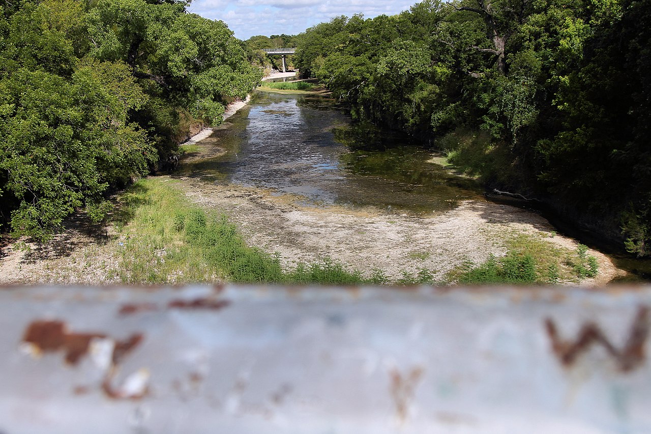
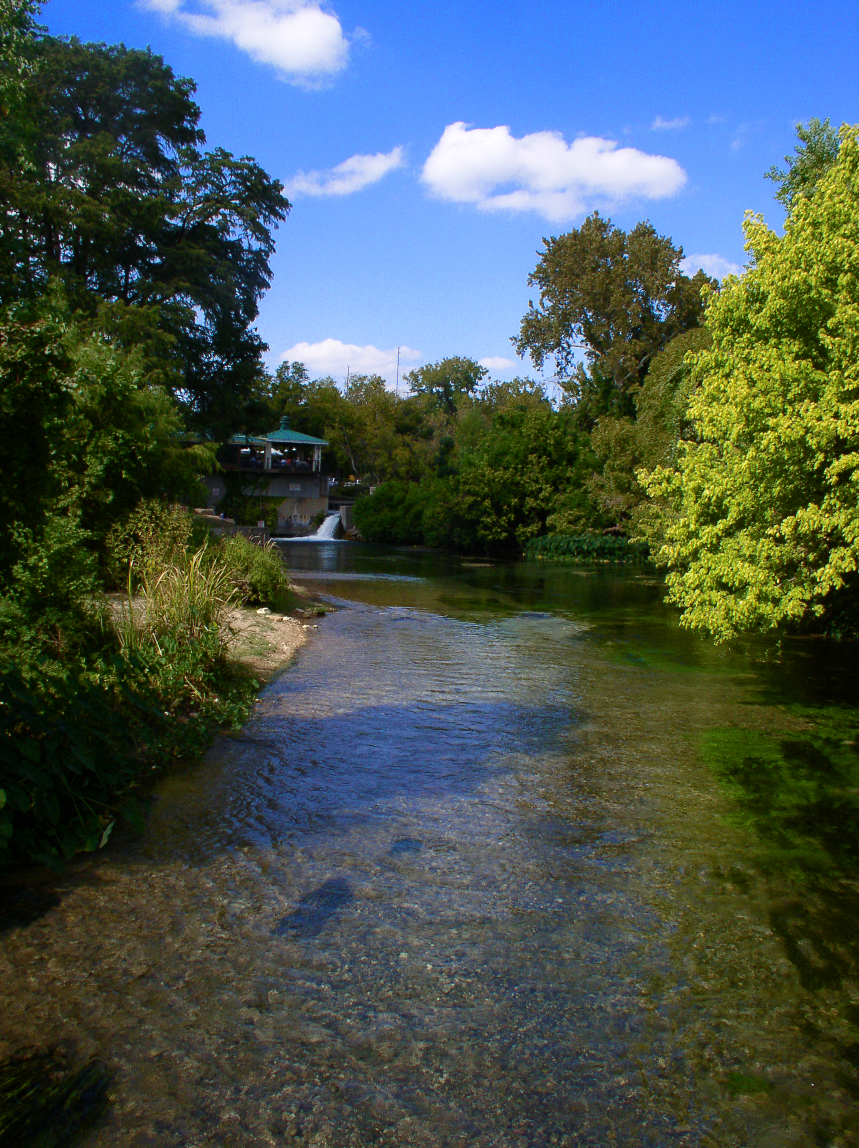
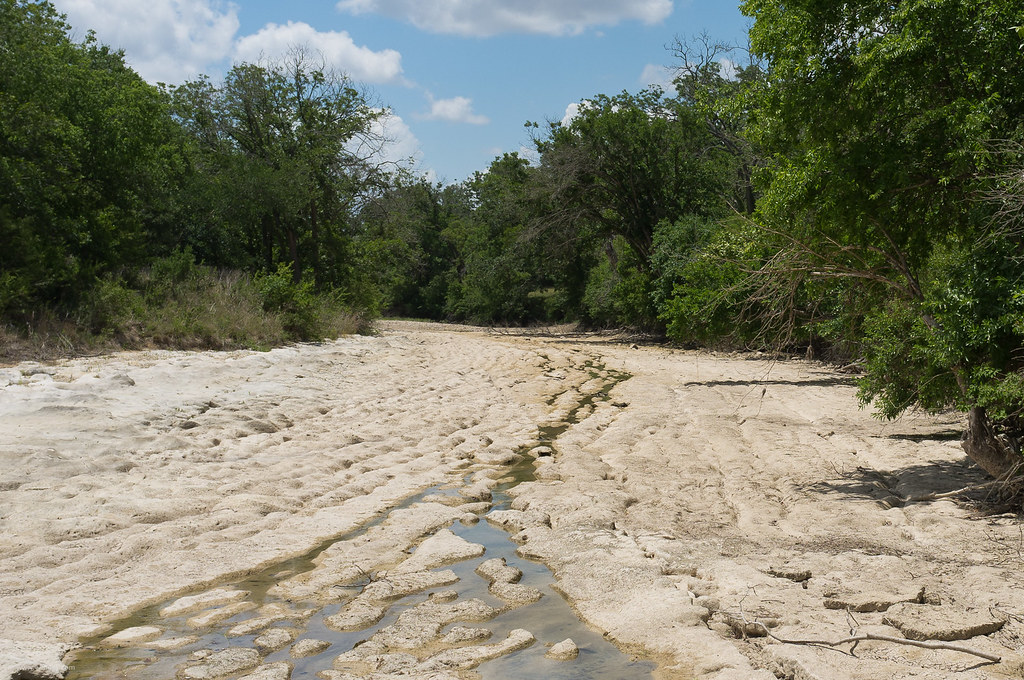
The creek's character varies dramatically along its course. In Williamson County, particularly around Cedar Park and Round Rock, Brushy Creek flows through the Edwards Plateau ecoregion with predominantly shallow runs and riffle habitats over limestone bedrock, gravel, and cobble substrates. The upper reaches are intermittent, while the lower sections maintain more consistent flow, making them the primary focus for paddling activities. The creek is notably effluent-dominant due to multiple wastewater treatment plant discharges, which help sustain year-round flows in developed areas.
Paddling opportunities center on a Class II+ section from FM 620 to Forest Creek Golf Club Road, covering approximately 6 miles. This stretch offers accessible urban paddling through parks and greenways, with the Brushy Creek Regional Trail system providing nearly 14 miles of parallel access for scouting and multiple entry points. The creek features gentle rolling terrain suitable for beginners and intermediate paddlers, though water levels fluctuate significantly with rainfall events.
The fishery supports diverse species including Guadalupe Bass (the Texas state fish), Largemouth Bass, multiple sunfish species, Channel and Flathead Catfish, Common Carp, and Rio Grande Cichlid. Recent surveys documented 16 fish species in the Champion Park area alone. The creek provides critical habitat for the Guadalupe Bass, with genetic studies confirming one of the few remaining pure populations in the Brazos River Basin.
Access points include Champion Park, Brushy Creek Lake Park, Veterans Park, and numerous locations along the regional trail system in Cedar Park and Round Rock. Downstream in Milam County, access becomes more limited with fewer developed facilities.
The creek's name derives from the Spanish "Arroyo de las Animas Benditas" (Creek of the Blessed Souls), named by explorers in 1716. It was the site of the 1839 Battle of Brushy Creek and supported some of Williamson County's earliest communities.
Paddlers should note that Community Fishing Lake regulations apply to Brushy Creek Lake and downstream sections to the Williamson/Milam county line, restricting fishing methods. Flash flooding poses significant hazards during heavy rainfall, with flows capable of exceeding 2,000 cubic feet per second. Summer flows can drop below 5 CFS during drought periods, making sections impassable.
Curated routes
Hand-picked by the PaddleWays team, with put-ins, take-outs, paddle times and the hazards along the way.
RouteClass I–II
RouteClass I–II
RouteClass I–II
Hazards
No paddler has reported a hazard here yet, so these are the dams, falls and big rapids on our map. Hazards change with flows and storms, so check them before you launch.
From the community
Nobody has shared a trip on Brushy Creek yet. Paddle it, then tell the next paddler how it went.
See exactly where the public can get on and off the river. Launch points and boat ramps are paired with PaddleWays' public land data so you know where you can legally land.
Public shoreline
8%of the river's shoreline is public
Most of the riverbank is private. Launch, land and camp only at public access points.
Flows, weather and a route-by-route verdict, so you know which stretch of the Brushy Creek is worth paddling today.
All Flow Stations
Live flows, marked hazards and fresh trip reports from paddlers who were just on the water, all in one place.





Every user gets free access to launch points, boat ramps, and public property parcels.
Loading popular cities...
PaddleWays gives you everything you need to plan smarter, paddle better, and own every trip from first launch to takeout.