Curated by PaddleWays
RouteFlatwater
- Distance
- 1.8 mi
- Paddle time
- ~0.5 hrs
- Put-in → take-out
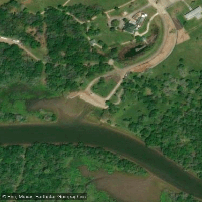
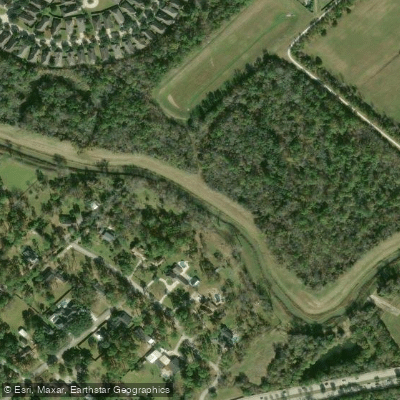
- Walter Hall Park → Heritage Park
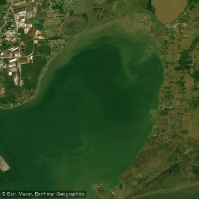
Clear Creek originates in the easternmost corner of Fort Bend County and flows generally eastward for approximately 45 miles through the upper Texas Gulf Coast region. The creek traverses portions of Fort Bend, Harris, Galveston, and Brazoria counties before entering Clear Lake, a secondary bay in the Galveston Bay system. This coastal plain waterway drains a watershed of approximately 260 square miles, characterized by relatively flat terrain with elevations ranging from 75 feet at its western headwaters to less than 5 feet near its mouth.
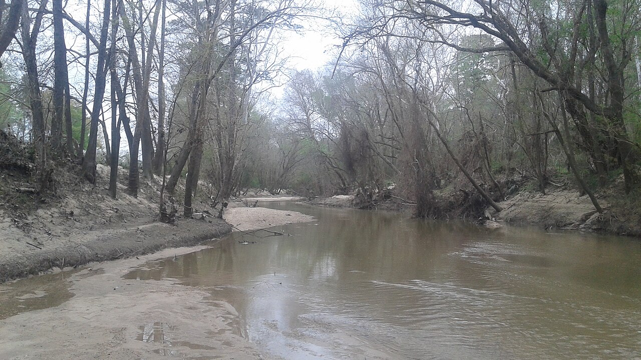
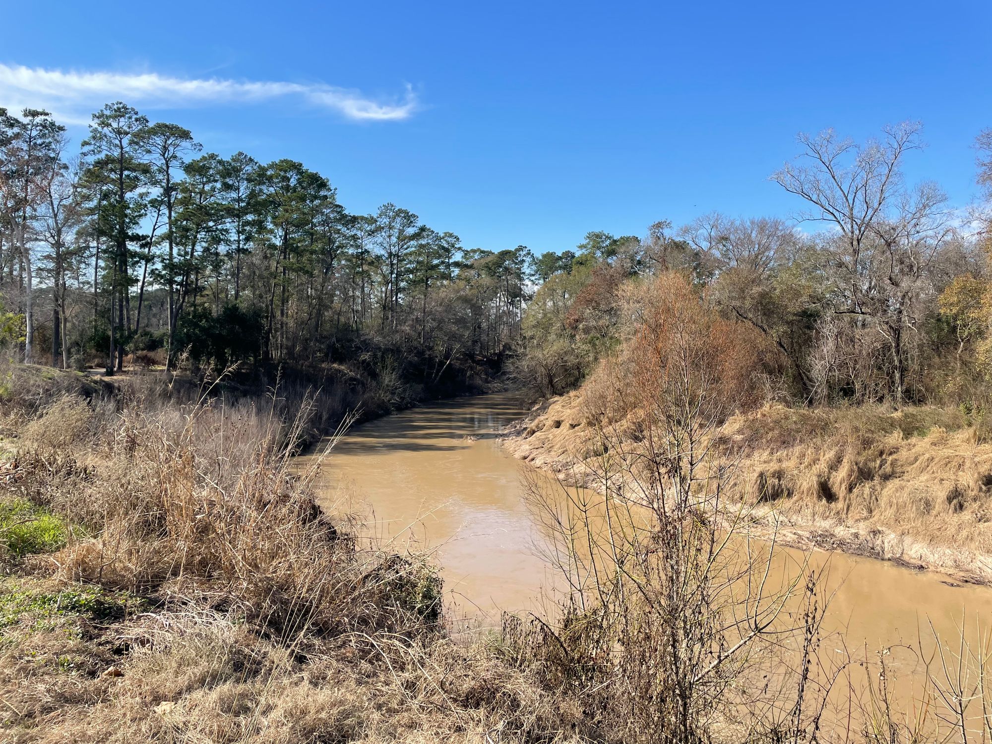
The creek's character varies significantly along its length. Upper sections feature a meandering channel through bottomland hardwood forest, while lower reaches transition to broader, tidally-influenced waters bordered by marshes and suburban development. Much of the creek has been channelized, though significant natural segments remain, particularly in the middle sections between stations 1100 and 1450, where extensive riparian woodland persists.
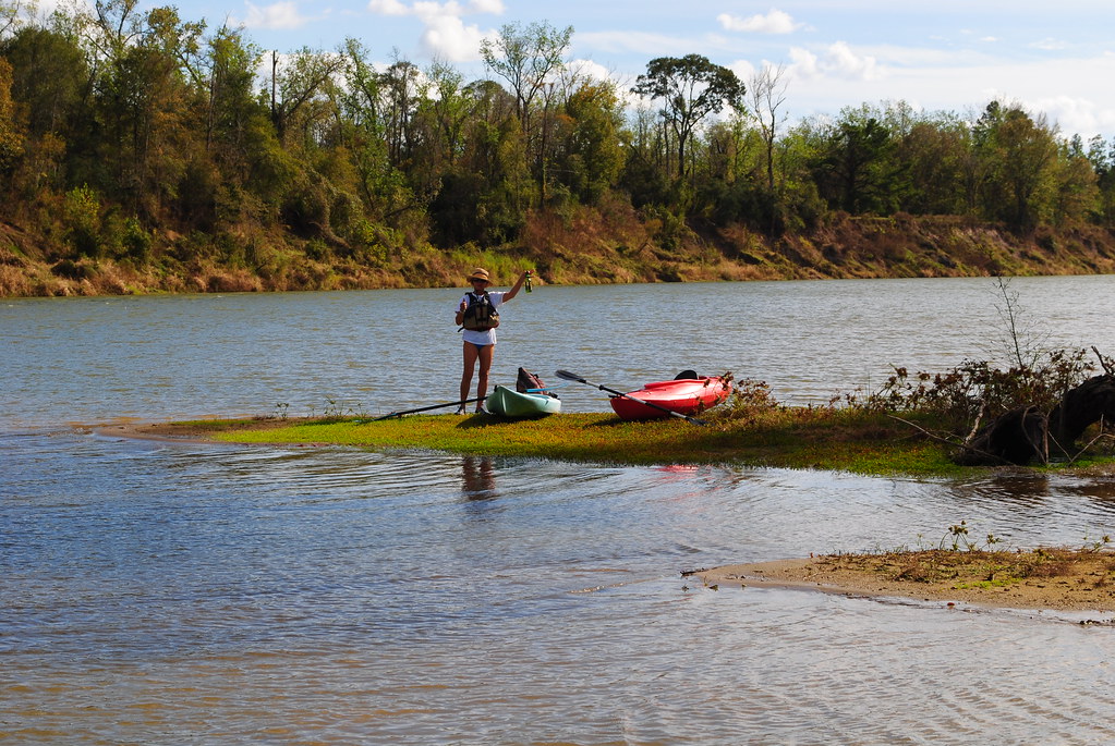
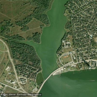
The Clear Creek Paddle Trail provides 5.5 to 6.5 miles of accessible paddling opportunities through League City, with three primary launch sites: Lynn Gripon Park at Countryside, Walter Hall Park, and Heritage Park. The trail offers beginner-friendly flatwater paddling suitable for kayaks, canoes, and paddleboards. Water depths typically range from shallow runs to deeper pools, with a sandy to muddy substrate. The creek is tidal below FM 528, creating brackish conditions in lower sections.
Paddling is best during spring and fall when water levels are adequate and temperatures moderate. Summer offers reliable flows but intense heat, while winter provides cooler conditions with occasional low water. The creek can experience significant flooding during tropical storms and heavy rainfall events.
The riparian corridor supports diverse vegetation including cedar elm, sugarberry, water oak, and green ash in forested sections, with extensive stands of arrowroot (Sagittaria sp.) dominating marshes near Clear Lake. Wildlife observations commonly include great blue herons, green herons, white ibis, egrets, and American alligators. The creek provides important nursery habitat for commercially significant species including white shrimp, blue crabs, and red drum in its estuarine reaches.
Key access points include parks in League City, Friendswood, and Pearland. The Armand Bayou Nature Center, located near the creek's confluence with Clear Lake, encompasses 1,600 acres and represents one of the largest urban wilderness preserves in the United States.
Historically, Clear Creek supported Native American habitation, evidenced by numerous archaeological sites throughout the watershed. The area experienced significant European settlement in the 19th century, with agriculture and later suburban development transforming the landscape.
Paddlers should be alert for alligators, particularly in warmer months, and avoid the creek during and immediately after heavy rainfall due to rapid flow increases and potential flooding. The lower tidal sections require awareness of changing water levels and currents.
Curated routes
Hand-picked by the PaddleWays team, with put-ins, take-outs, paddle times and the hazards along the way.
RouteFlatwater
RouteFlatwater
Hazards
No hazards are marked on Clear Creek yet. That is not the same as none being there: if you find one, report it for the next paddler.
From the community
Real trips from PaddleWays paddlers: which route they ran, how the flows were, and what to watch for.
Loading trip reports
Rebeca R.
SUP •
Some wind
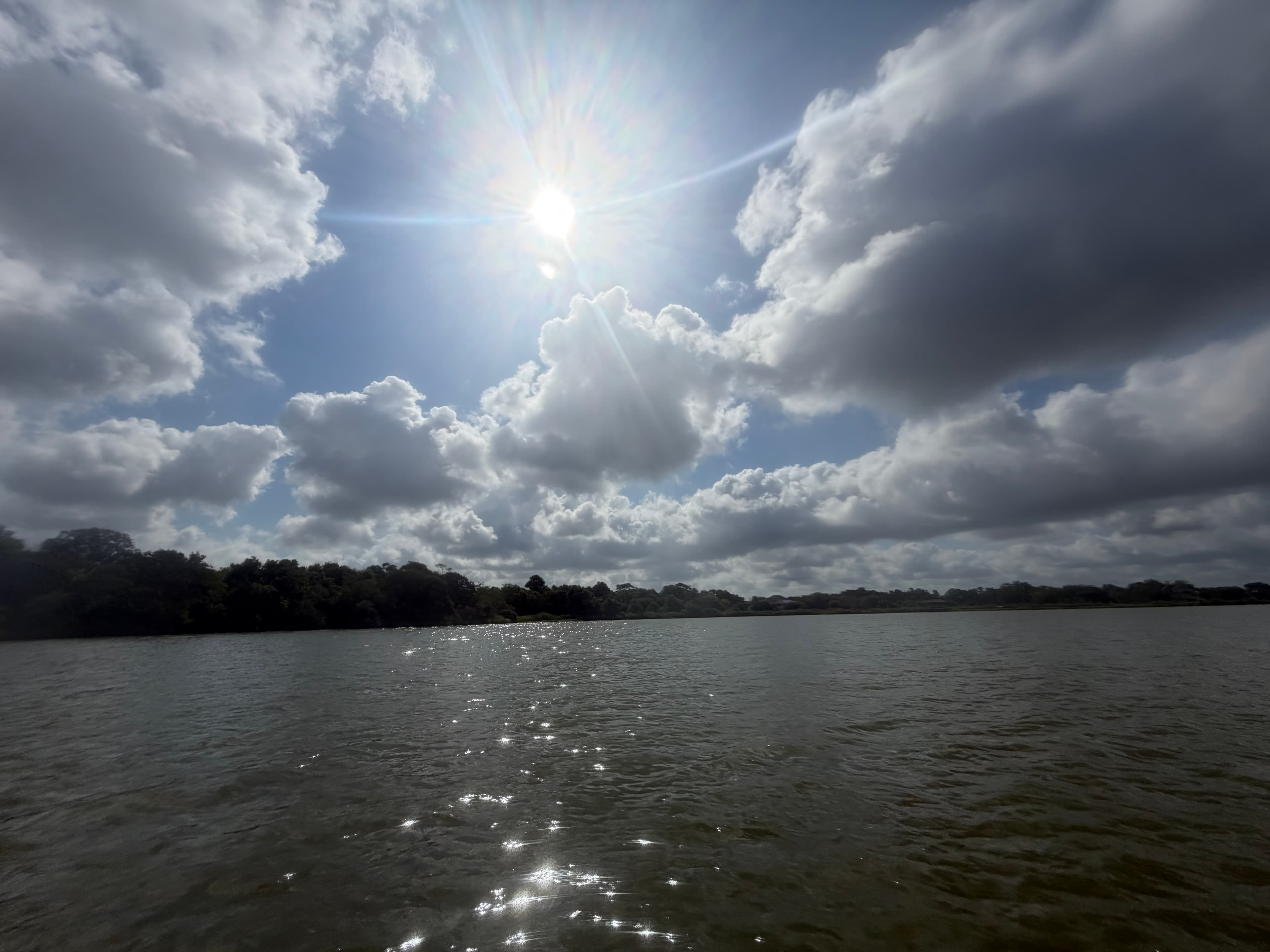
See exactly where the public can get on and off the river. Launch points and boat ramps are paired with PaddleWays' public land data so you know where you can legally land.
Public shoreline
25%of the river's shoreline is public
Most of the riverbank is private. Launch, land and camp only at public access points.
Flows, weather and a route-by-route verdict, so you know which stretch of the Clear Creek is worth paddling today.
All Flow Stations
Live flows, marked hazards and fresh trip reports from paddlers who were just on the water, all in one place.





Every user gets free access to launch points, boat ramps, and public property parcels.
Loading popular cities...
PaddleWays gives you everything you need to plan smarter, paddle better, and own every trip from first launch to takeout.