Trinity Bay
- Saltwater
- Bay
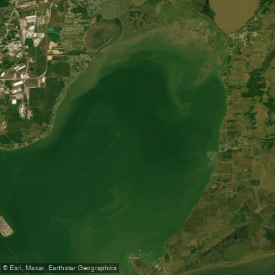
Trinity Bay
- Saltwater
- Bay
- Sq. miles
- 131
- Boat Ramps
- 4
- Access Points
- 3
- Campsites
- 0
Trinity Bay is a coastal bay on the Texas Gulf Coast, approximately 20 miles long and situated between Galveston Bay and the Trinity River. It provides access to sheltered, tidal bay waters suitable for kayaking, stand-up paddleboarding, and sea kayaking. The bay is characterized by a mix of bayous, flats, and marshes, and the shoreline features notable natural landmarks such as a large shell midden on its north shore. The overall paddling experience is considered beginner-level due to the generally calm and sheltered conditions, making it a viable destination year-round.
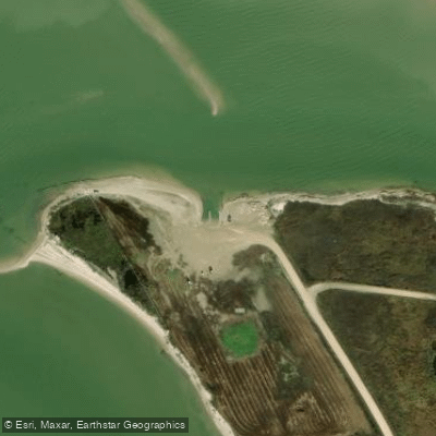
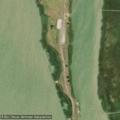
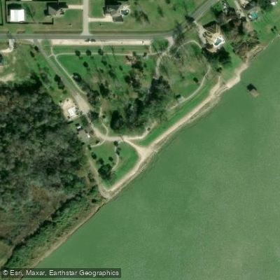
Primary access points include public boat ramps, with one located at coordinates 29.7452, -94.8282 and another at 29.7319, -94.6971. These ramps are free to use and can accommodate multiple boats simultaneously. McCollum Park on the west shoreline offers another launch option, though it requires significant effort; paddlers must unload gear, park outside a fenced area, and use a kayak cart to navigate a steep gravel ramp and a concrete walkway along a breakfront to reach a suitable launch spot, which may be obstructed by debris. Facilities at this location include bathrooms.
As a tidal saltwater feature, paddlers must plan for tidal currents. The bay's sheltered nature reduces wave action, but wind exposure and fetch can still create choppy conditions, particularly in open areas. The bay receives significant powerboat traffic, especially near launches and channels, requiring constant vigilance. There is no specific mention of a surf zone at bay entries. Water conditions are sheltered and tidal, and paddlers are advised to check local conditions, wear a PFD, and share float plans. The aesthetic includes local bay waters with reinforced shorelines in some areas, such as the concrete culvert pipes and rock breakfront at McCollum Park.
Water access, boat ramps & amenities
Learn how to get on Trinity Bay. Uncover great paddling access points, boat ramps, and all the facilities you need for an unforgettable day on the water. Some locations shown may border or include private property. Always check property boundaries and applicable regulations before visiting. PaddleWays's Public & Private Land layer can help you plan your access with confidence.
Paddle smarter with real-time insights
Whether you're en route and conditions shift or you're looking for the best spot based on current flows, we enable you to make informed decisions on the fly.








Find Places to Paddle

Over 400,000 Places to Paddle
Every user gets free access to launch points, boat ramps, and public property parcels.


Tides, wind & water conditions (10 day forecast)
On open water, wind and tide matter as much as the weather. See the best times to paddle Trinity Bay and check the marine forecast before you launch.
Loading tide predictions…
Paddling near Trinity Bay

Trinity River
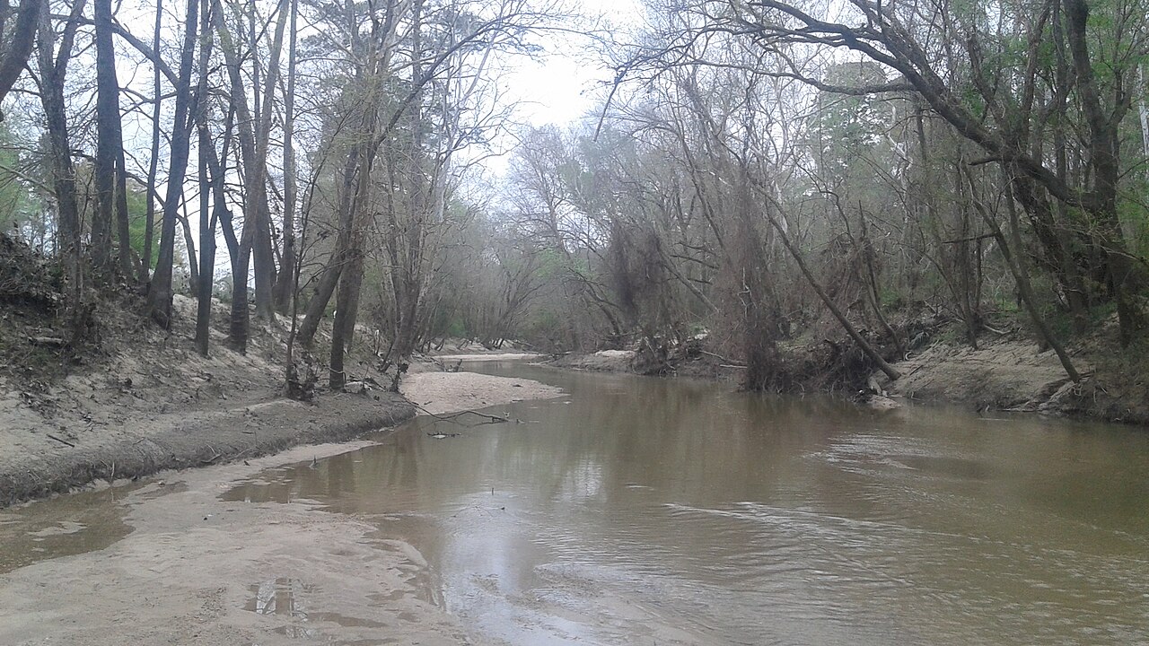
West Fork San Jacinto River
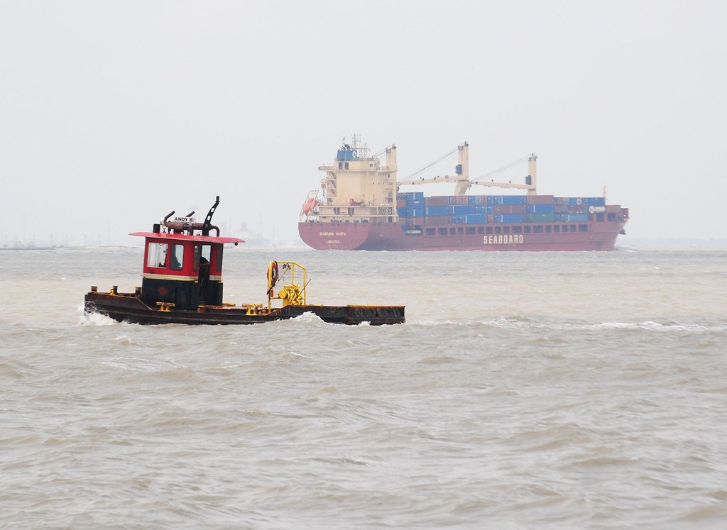
Galveston Bay

Brazos River
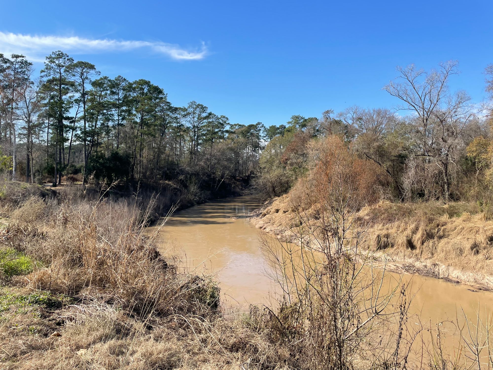
Cypress Creek
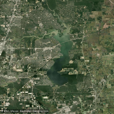
Lake Houston
San Jacinto River
Burnet Bay
Old River Lake
Explore Texas waters
Top paddling waters
Popular Cities
Loading popular cities...
Explore near Trinity Bay
Access points
Nearby waters
More in Texas

Smarter Paddling Starts in the App.
Paddleways gives you everything you need to plan smarter, paddle better, and own every trip from first launch to takeout.