Coleto Creek Cooling Pond
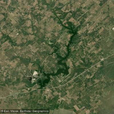
Coleto Creek Cooling Pond
- Boat Ramps
- 1
- Access Points
- 1
- Campsites
- 0
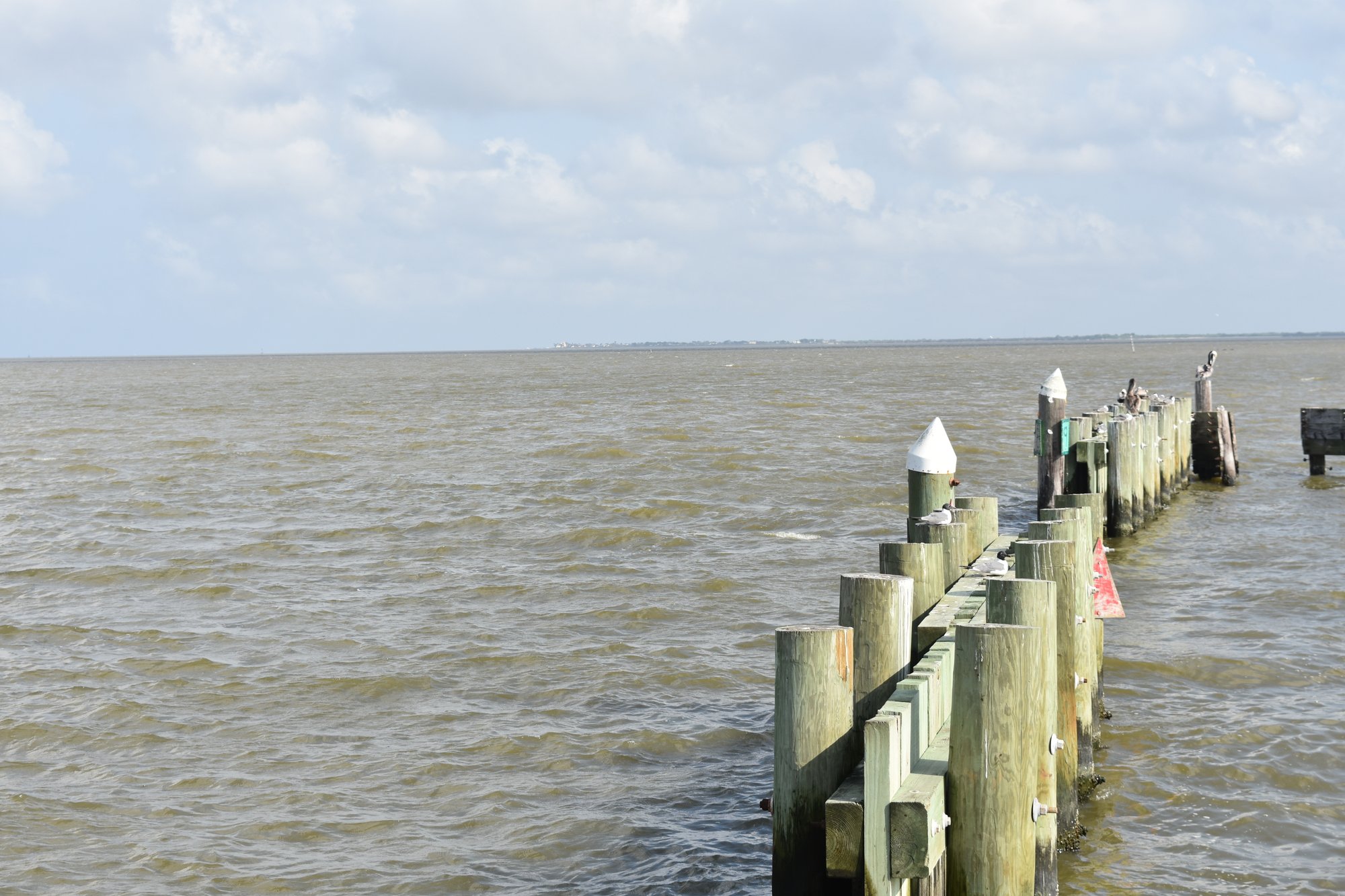
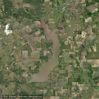
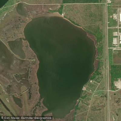
Coleto Creek Reservoir is a 3,100-acre lake located between Victoria and Goliad, Texas. The reservoir has 61 miles of shoreline and an average depth of 11 feet, with a maximum depth of 46 feet. Water clarity is generally clear to slightly stained. The lake serves as a cooling pond for a nearby power plant and maintains a constant water level.
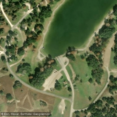
Paddlers can access the lake through Coleto Creek Park, which offers camping, boat ramps, and other amenities. The park is open year-round, with operating hours from 6:00 am to 8:00 pm. Day use fees apply for entering the park.
The reservoir offers varied paddling environments, including steep rocky banks, flooded timber, shallow brushy flats, and creek channels. Isolated beds of American lotus, cattail, and rushes provide habitat for wildlife. Paddlers may encounter largemouth bass, white bass, catfish, and crappie.
Water temperatures are warmest in summer, when fishing can be challenging. Spring, fall, and winter tend to offer more comfortable paddling conditions. As the weather cools, some fish may congregate near the warm water discharge area of the reservoir.
Paddlers should be aware of potential hazards such as submerged timber and brush. The lake can experience fluctuations of 1-3 feet. No specific paddling restrictions were mentioned, but standard boating regulations likely apply.
The park offers facilities including restrooms, picnic areas, and a swimming beach. Camping is available for those interested in multi-day paddling trips. Wildlife viewing opportunities exist, with various fish and bird species inhabiting the area.
Coleto Creek Reservoir was impounded in 1980 and opened to the public in 1981, providing recreational opportunities for over 40 years. The lake's primary purpose as a cooling pond for power generation gives it a unique character among Texas paddling destinations.
Water access, boat ramps & amenities
Learn how to get on Coleto Creek Cooling Pond. Uncover great paddling access points, boat ramps, and all the facilities you need for an unforgettable day on the water. Some locations shown may border or include private property. Always check property boundaries and applicable regulations before visiting. PaddleWays's Public & Private Land layer can help you plan your access with confidence.
Paddle smarter with real-time insights
Whether you're en route and conditions shift or you're looking for the best spot based on current flows, we enable you to make informed decisions on the fly.








Find Places to Paddle

Over 400,000 Places to Paddle
Every user gets free access to launch points, boat ramps, and public property parcels.


Water and weather conditions (10 day forecast)
See the best times to paddle Coleto Creek Cooling Pond and check the forecast before you go.
No forecast data available.
Paddling near Coleto Creek Cooling Pond
Explore Texas waters
Top paddling waters
Popular Cities
Loading popular cities...
Explore near Coleto Creek Cooling Pond

Smarter Paddling Starts in the App.
Paddleways gives you everything you need to plan smarter, paddle better, and own every trip from first launch to takeout.