Hynes Bay
- Saltwater
- Bay
Hynes Bay
- Saltwater
- Bay
- Sq. miles
- 12
- Boat Ramps
- 1
- Access Points
- 0
- Campsites
- 1
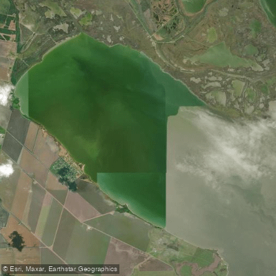
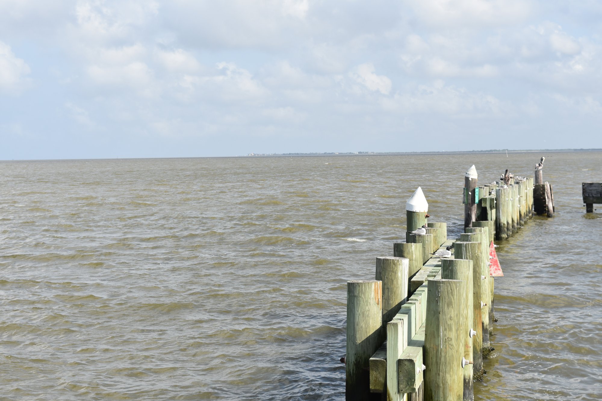
Hynes Bay is a shallow coastal bay within the Guadalupe River delta system on the Texas Gulf Coast, located between the towns of Austwell and Seadrift. It is part of the larger Guadalupe estuary, receiving freshwater inflow primarily from the San Antonio and Gualupe rivers. The bay is notably shallow, with an average depth of only three to four feet. A specific public kayak launch site exists in the town of Austwell, providing direct access to Hynes Bay. A known paddling trail runs across the bay from Seadrift to Austwell. The bay's shoreline includes areas of salt marsh, and a portion of the bay's shoreline within Townsend Bayou has been noted for habitat change. The broader area is part of the Guadalupe Delta Wildlife Management Area, with a specific Hynes Bay Unit, though public access for paddling may be subject to permit requirements for entry; visitors 17 and older need an Annual Public Hunting or Limited Public Use Permit to enter the WMA lands.
The bay's character is strongly influenced by wind and tides. The bottom is very soft and unforgiving, which could complicate any attempts to stand or wade from a craft. Wind direction significantly affects water clarity; a hard south wind can muddle the bay, while a north wind is considered preferable. The area is known for abundant birdlife, including seasonal flocks of White-faced Ibis and foraging White-tailed Hawks and Peregrine Falcons, which can be a notable sight for paddlers. Navigational hazards exist, as there are sunken barges and other obstructions in the area that are not always marked on GPS. The bay is part of a complex deltaic estuary ecosystem featuring brackish water, coastal marshes, and corridor forests along the small bayous.
Water access, boat ramps & amenities
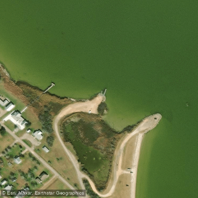
Learn how to get on Hynes Bay. Uncover great paddling access points, boat ramps, and all the facilities you need for an unforgettable day on the water. Some locations shown may border or include private property. Always check property boundaries and applicable regulations before visiting. PaddleWays's Public & Private Land layer can help you plan your access with confidence.
Paddle smarter with real-time insights
Whether you're en route and conditions shift or you're looking for the best spot based on current flows, we enable you to make informed decisions on the fly.








Find Places to Paddle

Over 400,000 Places to Paddle
Every user gets free access to launch points, boat ramps, and public property parcels.


Tides, wind & water conditions (10 day forecast)
On open water, wind and tide matter as much as the weather. See the best times to paddle Hynes Bay and check the marine forecast before you launch.
Loading tide predictions…
Paddling near Hynes Bay
Guadalupe River
San Antonio River
Lavaca Bay
Lake Texana
Coleto Creek Cooling Pond
Garcitas Cove
Navidad River
Redfish Lake
Tres Palacios River
Explore Texas waters
Top paddling waters
Popular Cities
Loading popular cities...
Explore near Hynes Bay

Smarter Paddling Starts in the App.
Paddleways gives you everything you need to plan smarter, paddle better, and own every trip from first launch to takeout.