San Antonio River
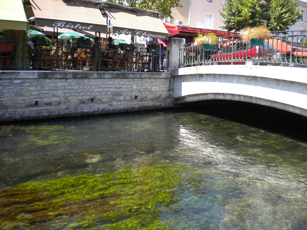
San Antonio River
- Boat Ramps
- 27
- Access Points
- 27
- Campsites
- 4
The San Antonio River is a vital waterway in south-central Texas, originating from springs north of San Antonio and flowing southeast for approximately 240 miles until it joins the Guadalupe River just before emptying into the Gulf of Mexico. The river's watershed covers about 4,180 square miles, with major tributaries including Medina River, Cibolo Creek, and Salado Creek.
Paddling opportunities on the San Antonio River range from urban adventures through the heart of San Antonio to more natural experiences in rural areas downstream. The river offers a variety of paddling sections suitable for different skill levels, from beginner-friendly flatwater to more challenging stretches requiring some experience. In San Antonio, popular paddling trails include the King William Paddling Trail and Museum Reach, offering unique urban perspectives of the city's historic districts and cultural attractions. The 8-mile Mission Reach Paddling Trail provides a scenic journey past restored riparian habitats and historic Spanish missions. Further downstream, the SASPAMCO Paddling Trail offers a more natural 12.1-mile route through rural landscapes.
The river's difficulty ranges from easy flatwater sections in urban areas to Class I-II rapids in some rural stretches. Most sections are suitable for beginners, but some experience is recommended for longer trips outside the city. Paddling is enjoyable year-round, but spring and fall offer the most comfortable temperatures. Summer can be hot, making early morning paddles ideal. Water levels are generally consistent due to managed flows, but can fluctuate after heavy rains.
The river supports diverse ecosystems, with opportunities to spot wildlife such as great blue herons, turtles, and occasionally river otters. Bald cypress trees line portions of the banks, especially in the southern reaches. Key landmarks include the historic missions along the Mission Reach, the iconic River Walk in downtown San Antonio, and various parks and nature centers along the river's course.
Access points are numerous within San Antonio, with put-ins at locations like Roosevelt Park, Padre Park, and various points along the River Walk. Outside the city, access becomes more limited but is available at designated paddling trail put-ins.
The San Antonio River holds immense historical and cultural significance, having been central to the development of San Antonio and its missions, now a UNESCO World Heritage site. The river continues to be a focal point for recreation, conservation efforts, and community gatherings.
Safety considerations include being aware of low-head dams, especially in urban areas, and checking water quality reports before paddling. Some sections require portaging around obstacles. Always wear a life jacket and be mindful of summer heat. While most paddling trips are day excursions, multi-day trips are possible on the lower reaches of the river, though these require careful planning due to limited camping options and longer distances between access points.
Water access, boat ramps & amenities
Learn how to get on San Antonio River. Uncover great paddling access points, boat ramps, and all the facilities you need for an unforgettable day on the water. Some locations shown may border or include private property. Always check property boundaries and applicable regulations before visiting. PaddleWays's Public & Private Land layer can help you plan your access with confidence.
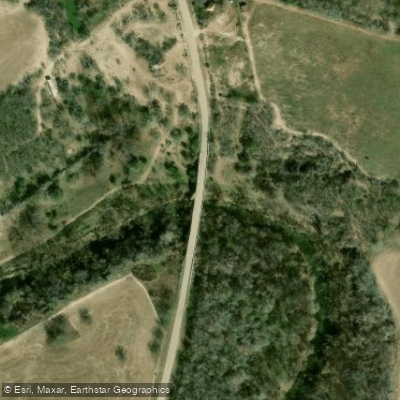
San Antonio River Boat Ramp
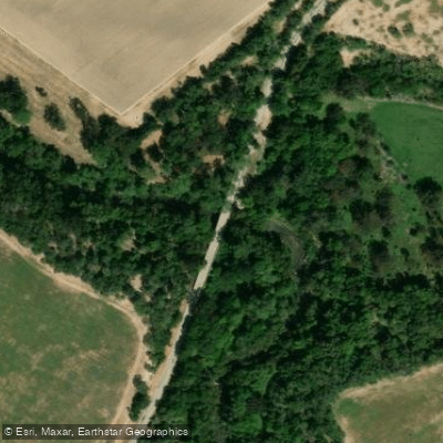
San Antonio River Boat Ramp
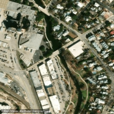
San Antonio River Boat Ramp
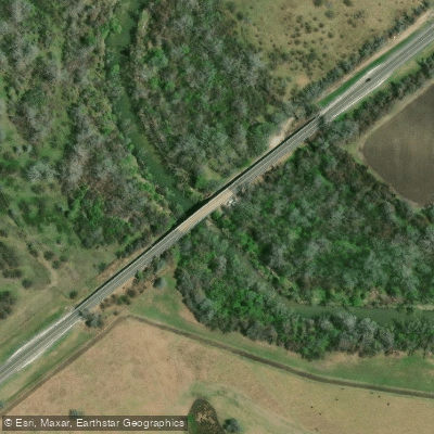
Highway 59 - San Antonio River Boat Ramp
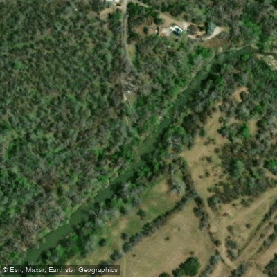
Ferry Street Boat Ramp
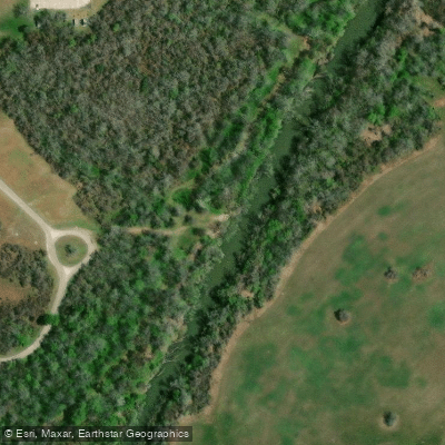
Goliad State Park Boat Ramp
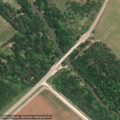
San Antonio River Boat Ramp
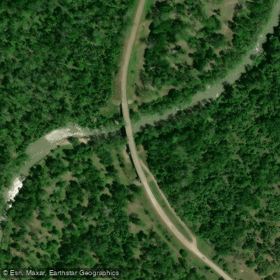
Duke Bridge Boat Ramp
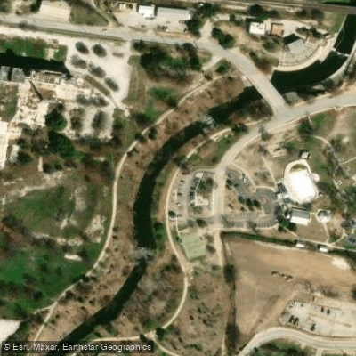
San Antonio River Boat Ramp
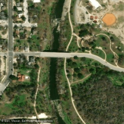
San Antonio River Boat Ramp
Paddle smarter with real-time insights
Whether you're en route and conditions shift or you're looking for the best spot based on current flows, we enable you to make informed decisions on the fly.








Find Places to Paddle

Over 400,000 Places to Paddle
Every user gets free access to launch points, boat ramps, and public property parcels.


Water and weather conditions (10 day forecast)
See the best times to paddle San Antonio River and check the forecast before you go.
San Antonio Rv at Mitchell St, San Antonio, TX
All Flow Stations
Paddling near San Antonio River
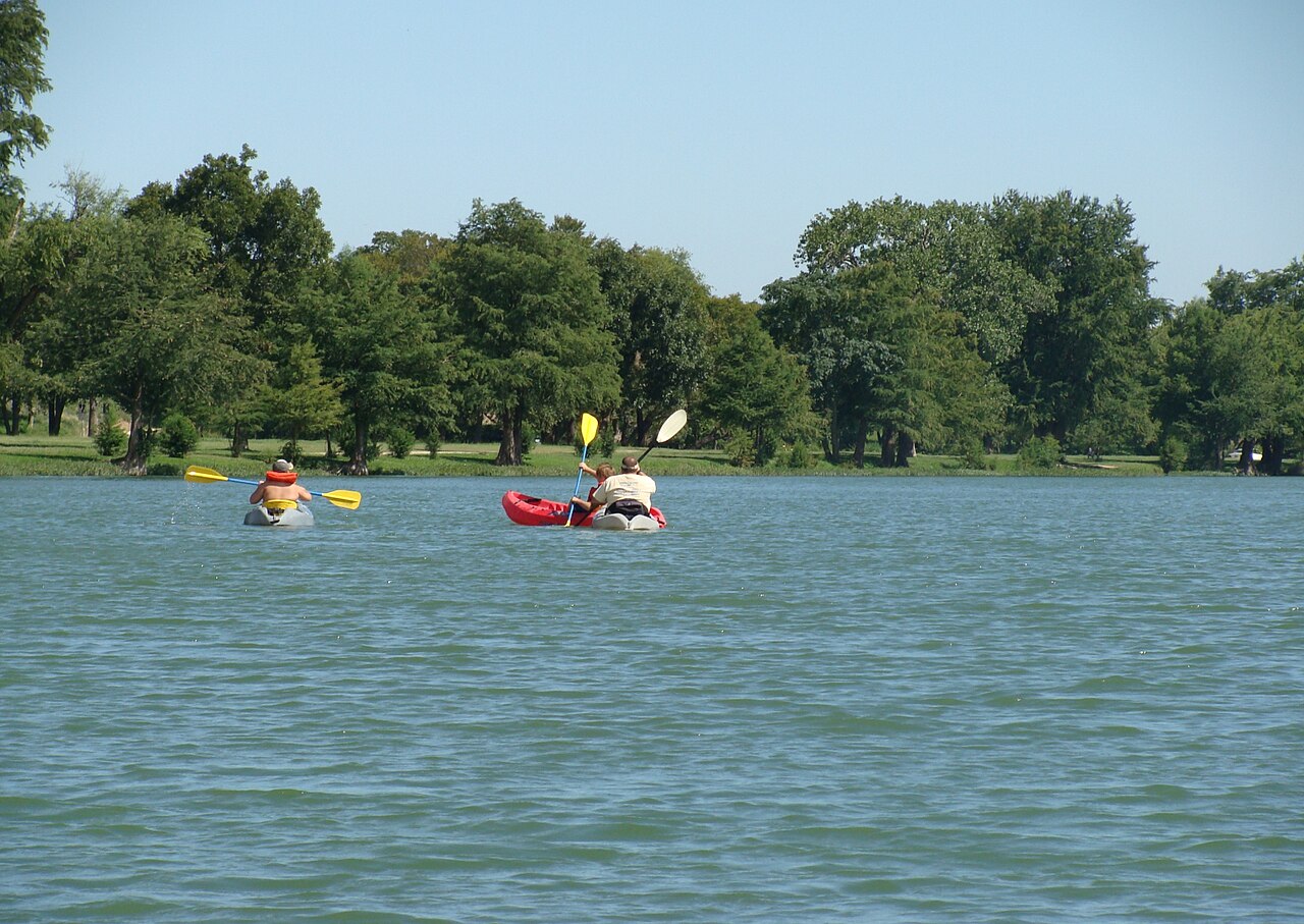
Guadalupe River
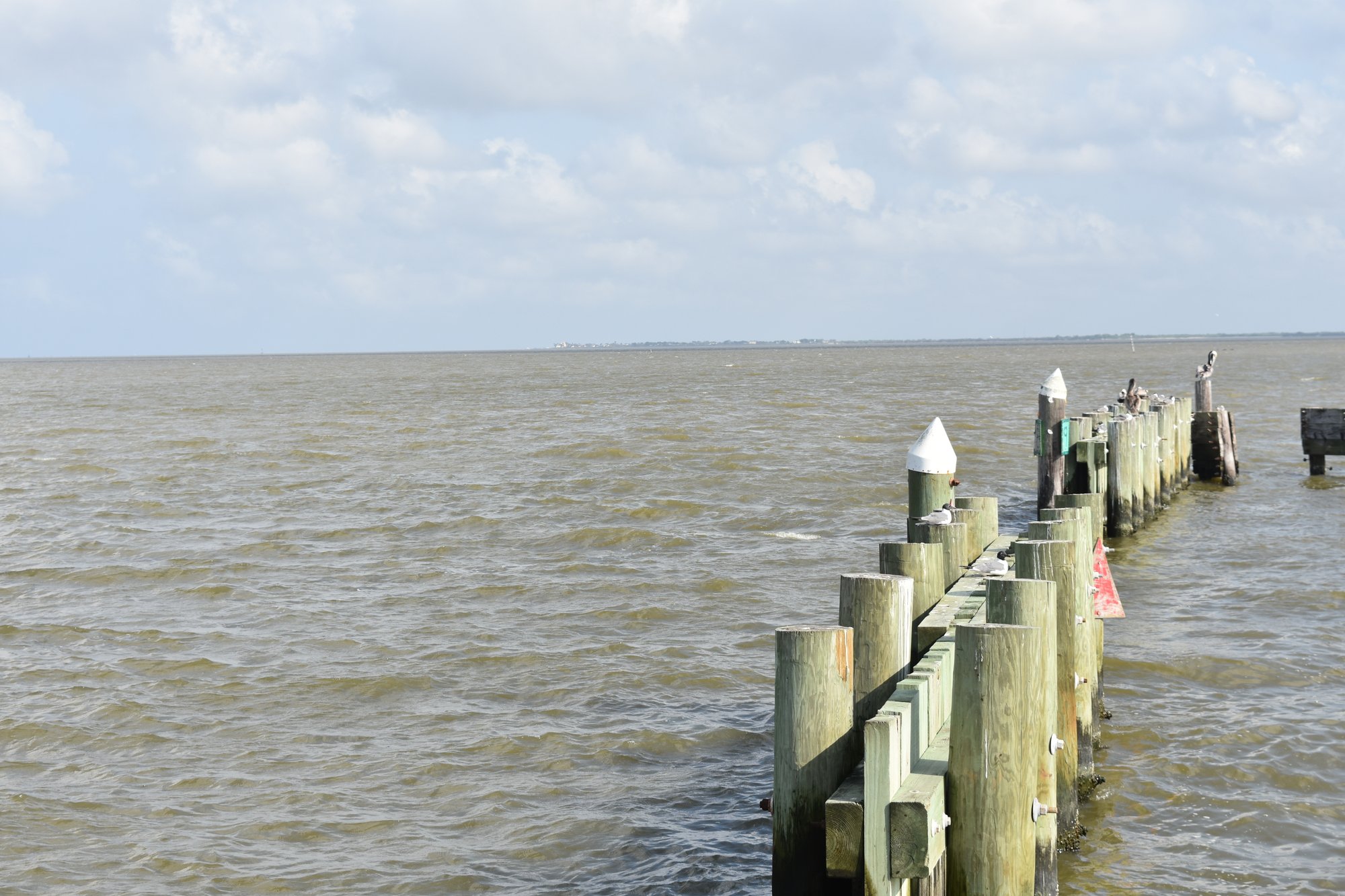
Lavaca Bay
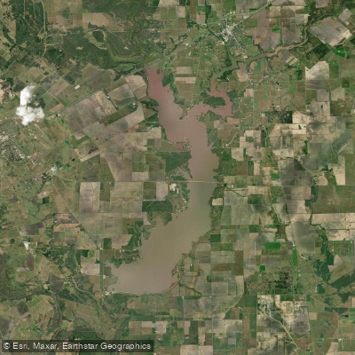
Lake Texana
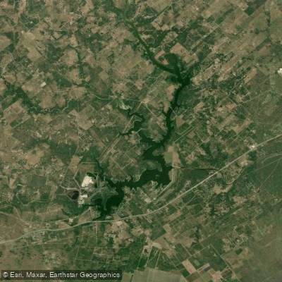
Coleto Creek Cooling Pond
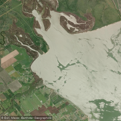
Garcitas Cove
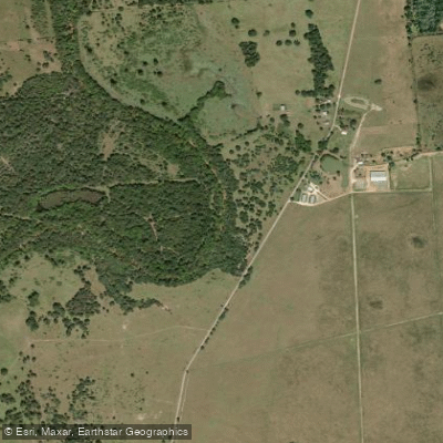
Navidad River
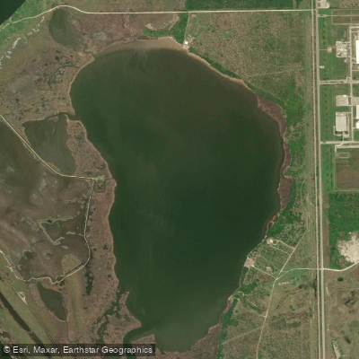
Redfish Lake
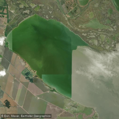
Hynes Bay
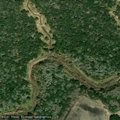
Tres Palacios River
Explore Texas waters
Top paddling waters
Popular Cities
Loading popular cities...
Explore near San Antonio River
Access points
- San Antonio River Boat Ramp
- San Antonio River Boat Ramp
- San Antonio River Boat Ramp
- Highway 59 - San Antonio River Boat Ramp
- Ferry Street Boat Ramp
- Goliad State Park Boat Ramp
- San Antonio River Boat Ramp
- Duke Bridge Boat Ramp
- San Antonio River Boat Ramp
- San Antonio River Boat Ramp
- US77 Bridge Boat Ramp
- San Antonio River Boat Ramp
- All 66 spots
Nearby waters
More in Texas

Smarter Paddling Starts in the App.
Paddleways gives you everything you need to plan smarter, paddle better, and own every trip from first launch to takeout.