Garcitas Cove
- Saltwater
- Cove
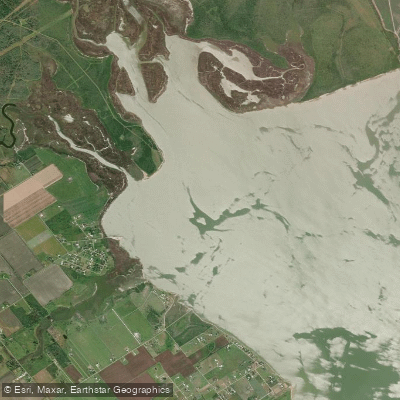
Garcitas Cove
- Saltwater
- Cove
- Sq. miles
- 3.4
- Boat Ramps
- 1
- Access Points
- 0
- Campsites
- 0
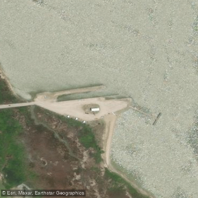
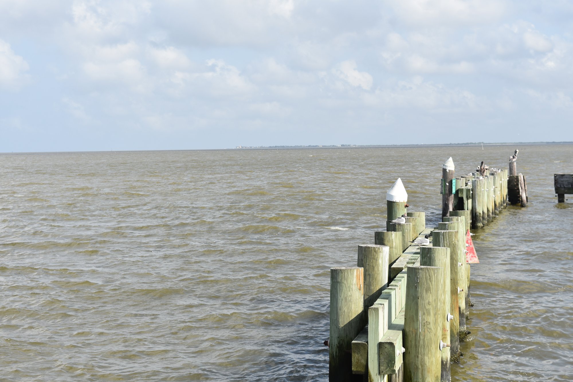
Garcitas Cove is a shallow, marsh-lined saltwater cove on the upper reaches of Lavaca Bay, near the mouth of Garcitas Creek. The cove is characterized by its soft mud bottom and extensive marshes, offering a flatwater paddling environment suited for kayaks and canoes. The primary and most convenient access point for paddlers is Six Mile Park, located off FM 1090 north of Port Lavaca. This park provides a boat ramp, and kayaks are often launched to the left just after driving over a small creek at the park entrance. The park also offers a pier, playground, and picnic tables. From this launch, paddlers can explore nearby Placedo Cove and the mouth of Placedo Creek before heading into Garcitas Cove. The cove itself connects to a network of interior marsh features via narrow, shallow cuts. One notable cut leads from the eastern side of the cove into a system that includes Mud Lake, a large lake with a soft mud bottom and grassy shorelines. This cut is fairly narrow and shallow, and can become non-navigable during winter or periods of low bay water levels. The area experiences significant tidal movement, with baitfish and game fish moving in and out of sloughs and cuts with the currents. Paddlers should plan their routes considering tide stages to work with or against the flow. The cove is exposed to the broader Lavaca Bay, and boat traffic from larger vessels using the cuts requires awareness from paddlers. The overall experience is one of a remote, marshy coastline teeming with birdlife and marine activity, ideal for a quiet, nature-focused paddle.
Water access, boat ramps & amenities
Learn how to get on Garcitas Cove. Uncover great paddling access points, boat ramps, and all the facilities you need for an unforgettable day on the water. Some locations shown may border or include private property. Always check property boundaries and applicable regulations before visiting. PaddleWays's Public & Private Land layer can help you plan your access with confidence.
Paddle smarter with real-time insights
Whether you're en route and conditions shift or you're looking for the best spot based on current flows, we enable you to make informed decisions on the fly.








Find Places to Paddle

Over 400,000 Places to Paddle
Every user gets free access to launch points, boat ramps, and public property parcels.


Tides, wind & water conditions (10 day forecast)
On open water, wind and tide matter as much as the weather. See the best times to paddle Garcitas Cove and check the marine forecast before you launch.
Loading tide predictions…
Paddling near Garcitas Cove
Guadalupe River
San Antonio River
Lavaca Bay
Lake Texana
Coleto Creek Cooling Pond
Navidad River
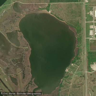
Redfish Lake
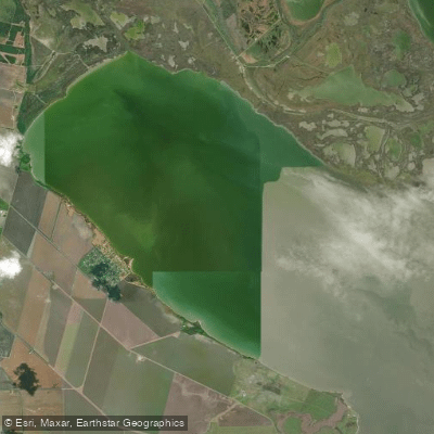
Hynes Bay
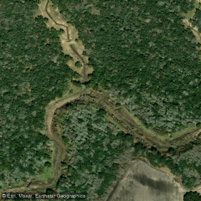
Tres Palacios River
Explore Texas waters
Top paddling waters
Popular Cities
Loading popular cities...
Explore near Garcitas Cove

Smarter Paddling Starts in the App.
Paddleways gives you everything you need to plan smarter, paddle better, and own every trip from first launch to takeout.