Lavaca Bay
- Saltwater
- Bay
Lavaca Bay
- Saltwater
- Bay
- Sq. miles
- 54
- Boat Ramps
- 3
- Access Points
- 0
- Campsites
- 0
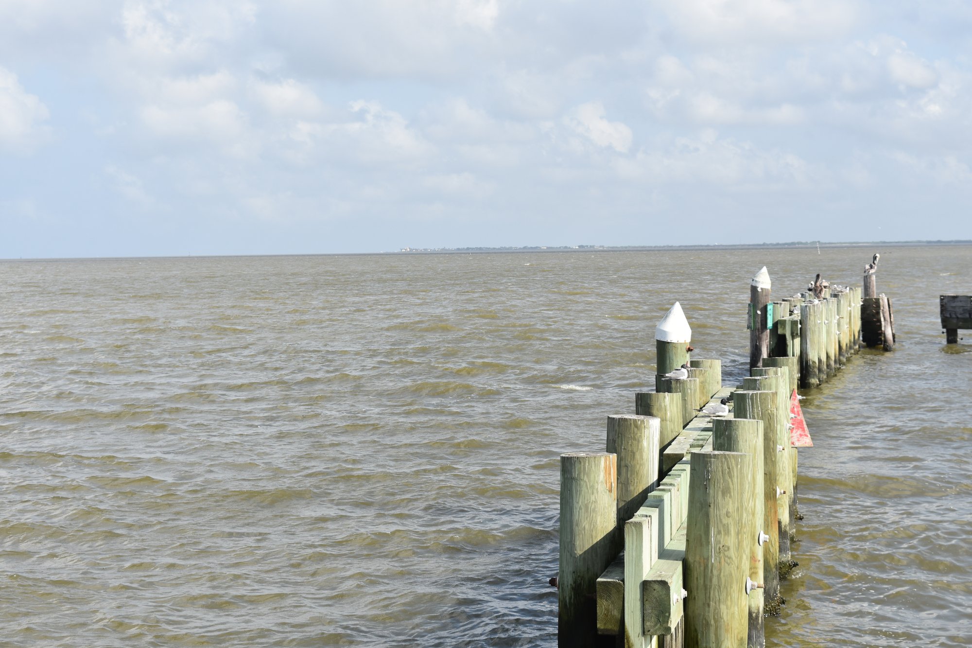
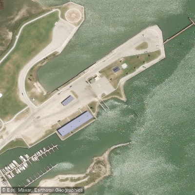
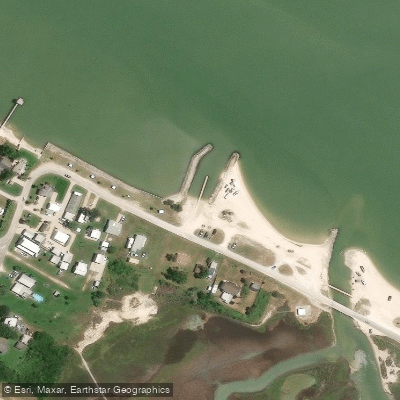
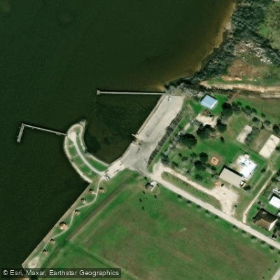
Lavaca Bay is a large, shallow coastal bay on the Texas Gulf Coast, offering paddlers a mix of open water and sheltered coves. The bay's character is defined by expansive flats, marshy shorelines, and significant industrial activity on its eastern shore. Primary paddling access points include several public boat ramps and parks. On the western side, a park beach launch just south of the TX 35 bridge provides easy entry. The Harbor of Refuge on the eastern shore near Port Lavaca is a protected inlet with a boat ramp, offering a sheltered staging area for exploring the bay's interior flats. Waterfront Park near Point Comfort offers another boat ramp with direct bay access. Further north, Six Mile Park in Calhoun County features two boat ramps and is a launch point for the upper bay areas like Placedo Cove and Garcitas Cove.
Paddling conditions are heavily influenced by wind and tide. The bay is very large, making wind a major factor that can quickly create chop, especially in afternoon sea breezes. The tidal influence is significant, and paddlers should plan trips around tidal cycles to avoid fighting currents or encountering exposed mudflats. Water depths are typically shallow, ranging from 2 to 8 feet over muddy bottoms and seagrass beds, with occasional deeper channels and sharp oyster shell beds. Boat traffic is a noted hazard, particularly near channels and on weekends, though it can be light at times. The area is prone to sudden, severe thunderstorms, which pose a serious safety risk to paddlers caught in the open. The industrial areas on the eastern shore may present unspecified safety concerns.
The bay's aesthetic is a blend of natural marsh ecology and human infrastructure, featuring old bridge pilings, marsh grasses, and bird populations including pelicans and wading birds. Dolphins are also occasionally spotted. The best paddling seasons are spring and fall when weather is more stable, and mornings typically offer calmer conditions before winds pick up. Facilities at launch sites generally include parking lots, and some parks offer additional amenities like piers and picnic areas. Paddlers should exercise caution regarding wind, weather, boat traffic, and the industrial shoreline.
Water access, boat ramps & amenities
Learn how to get on Lavaca Bay. Uncover great paddling access points, boat ramps, and all the facilities you need for an unforgettable day on the water. Some locations shown may border or include private property. Always check property boundaries and applicable regulations before visiting. PaddleWays's Public & Private Land layer can help you plan your access with confidence.
Paddle smarter with real-time insights
Whether you're en route and conditions shift or you're looking for the best spot based on current flows, we enable you to make informed decisions on the fly.








Find Places to Paddle

Over 400,000 Places to Paddle
Every user gets free access to launch points, boat ramps, and public property parcels.


Tides, wind & water conditions (10 day forecast)
On open water, wind and tide matter as much as the weather. See the best times to paddle Lavaca Bay and check the marine forecast before you launch.
Loading tide predictions…
Paddling near Lavaca Bay
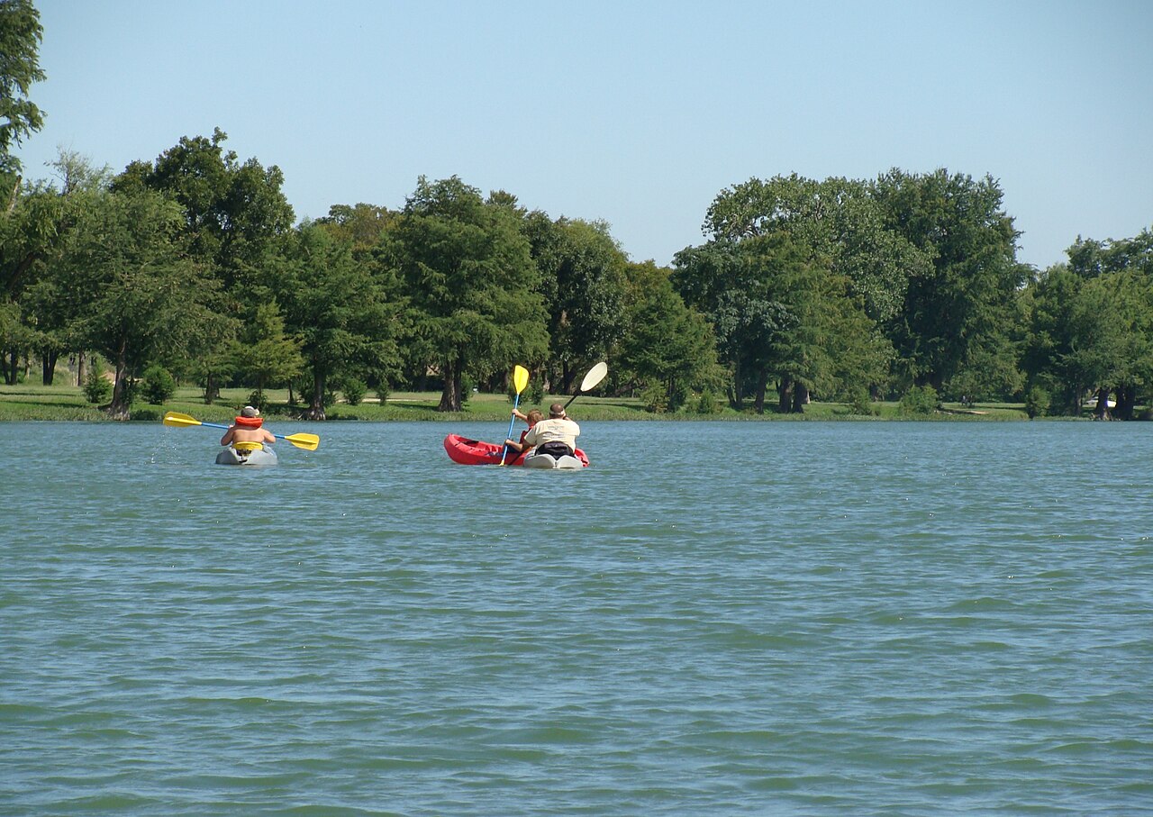
Guadalupe River
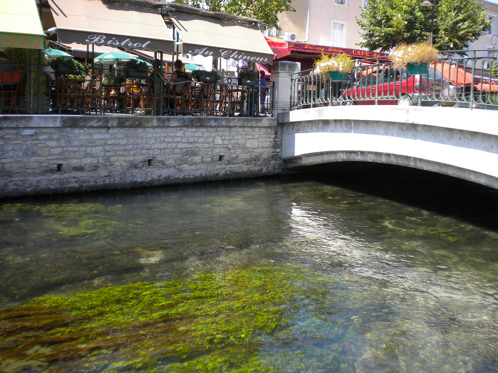
San Antonio River
Lake Texana
Coleto Creek Cooling Pond
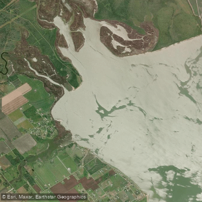
Garcitas Cove
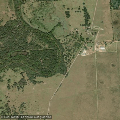
Navidad River
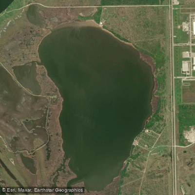
Redfish Lake
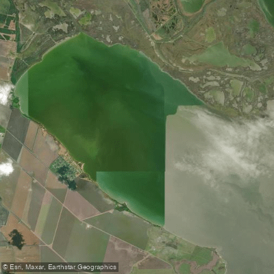
Hynes Bay
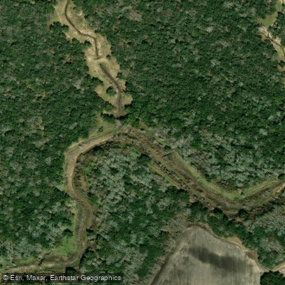
Tres Palacios River
Explore Texas waters
Top paddling waters
Popular Cities
Loading popular cities...
Explore near Lavaca Bay

Smarter Paddling Starts in the App.
Paddleways gives you everything you need to plan smarter, paddle better, and own every trip from first launch to takeout.