Ellison Creek Reservoir
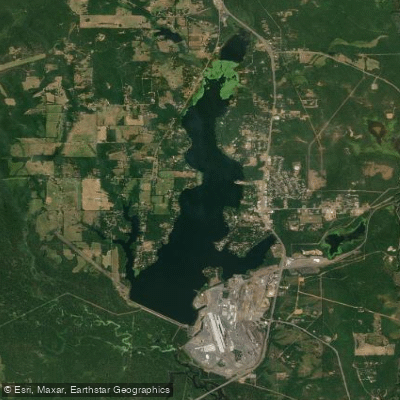
Ellison Creek Reservoir
- Boat Ramps
- 4
- Access Points
- 4
- Campsites
- 5
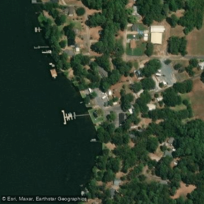
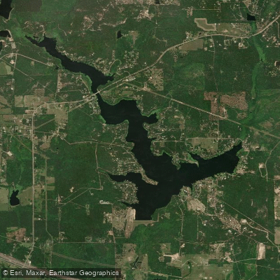
Ellison Creek Reservoir, also known as Lone Star Lake, is located in Morris County, Texas, about 8 miles south of Daingerfield. The reservoir covers 1,516 acres and has a maximum depth of 40 feet. Constructed in 1943, it is owned and operated by U.S. Steel (formerly Lone Star Steel Company) and serves as a cooling water source for a nearby power plant.
The lake's water level typically fluctuates 2-3 feet, with moderate clarity. Aquatic vegetation is sparse, covering less than 3% of the surface area. Structural habitat includes inundated timber, brush, creek channels, and rip rap, providing some interesting features for paddlers to explore.
Wildlife enthusiasts can spot various fish species, including channel catfish, white bass, hybrid striped bass, largemouth bass, and crappie. Bluegill, redbreast, and redear sunfish are also abundant. Birdwatching opportunities are likely plentiful, though specific species vary with the seasons.
Paddlers should be aware of potential industrial activity related to the steel company and power plant operations. Additionally, there is a consumption advisory in effect for fish caught in the reservoir, indicating possible water quality concerns.
The lake's relatively small size and moderate depth make it suitable for day trips. While specific paddling routes aren't well-established, the varied shoreline and structural features offer plenty to discover. Paddlers should check with local authorities regarding any restrictions or regulations, as the primary uses of the reservoir are industrial and recreational fishing rather than paddling-specific activities.
Given its location in east Texas, the reservoir experiences warm summers and mild winters. Paddlers should prepare accordingly and check current conditions before their trip, as water temperatures can vary significantly throughout the year.
Water access, boat ramps & amenities
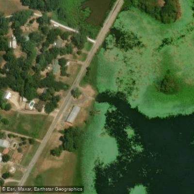
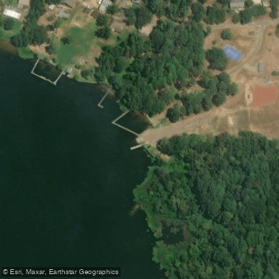
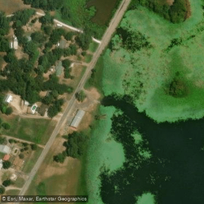
Learn how to get on Ellison Creek Reservoir. Uncover great paddling access points, boat ramps, and all the facilities you need for an unforgettable day on the water. Some locations shown may border or include private property. Always check property boundaries and applicable regulations before visiting. PaddleWays's Public & Private Land layer can help you plan your access with confidence.
Paddle smarter with real-time insights
Whether you're en route and conditions shift or you're looking for the best spot based on current flows, we enable you to make informed decisions on the fly.








Find Places to Paddle

Over 400,000 Places to Paddle
Every user gets free access to launch points, boat ramps, and public property parcels.


Water and weather conditions (10 day forecast)
See the best times to paddle Ellison Creek Reservoir and check the forecast before you go.
No forecast data available.
Paddling near Ellison Creek Reservoir
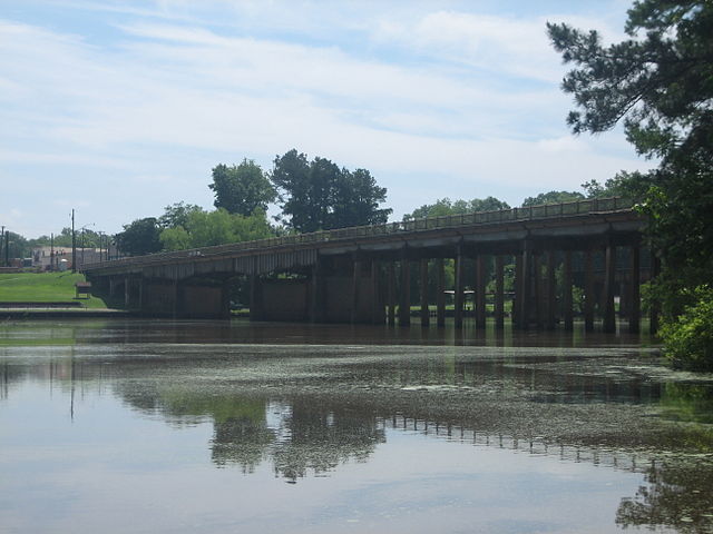
Sabine River
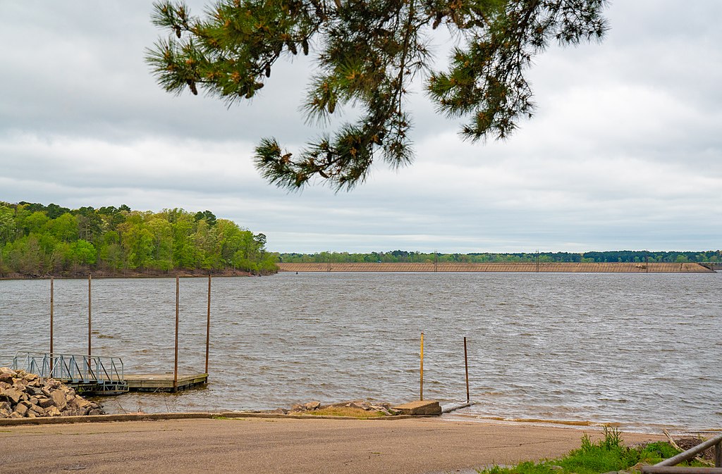
Lake O' the Pines
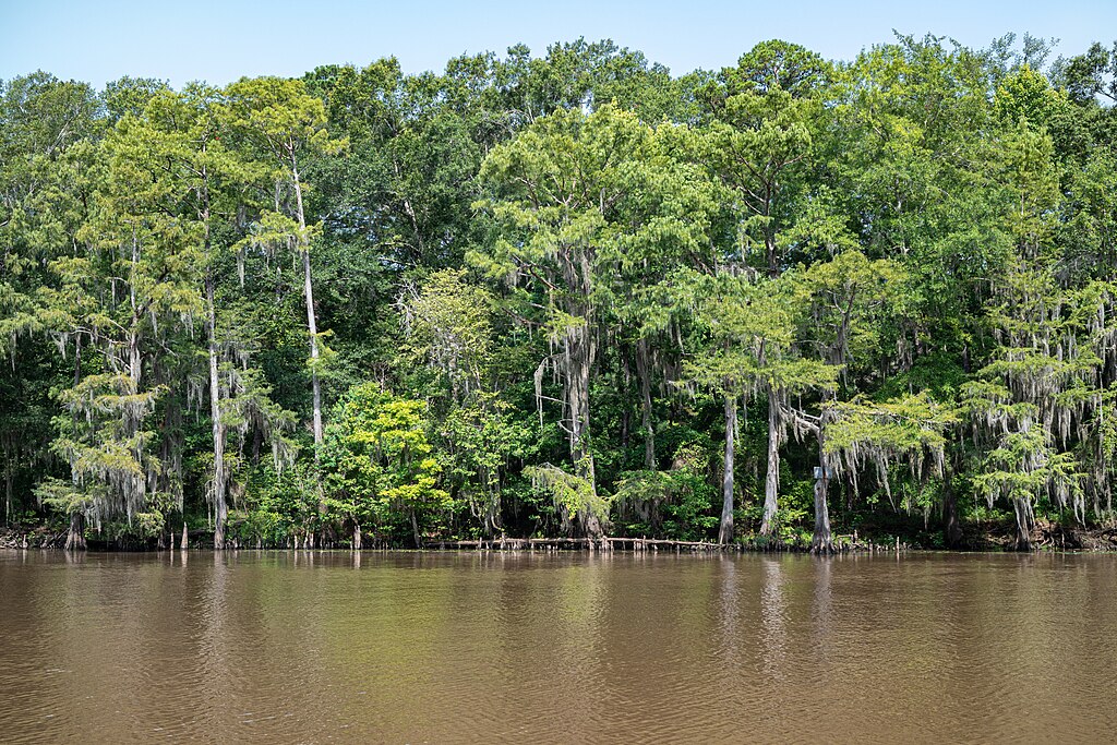
Big Cypress Bayou
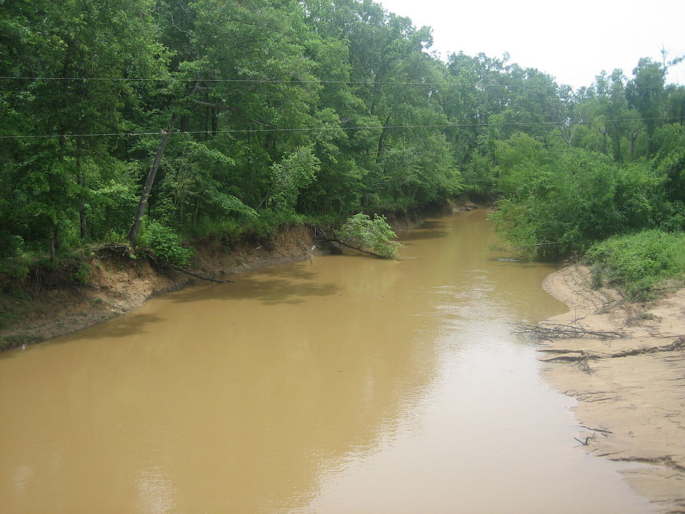
Angelina River

Lake Palestine
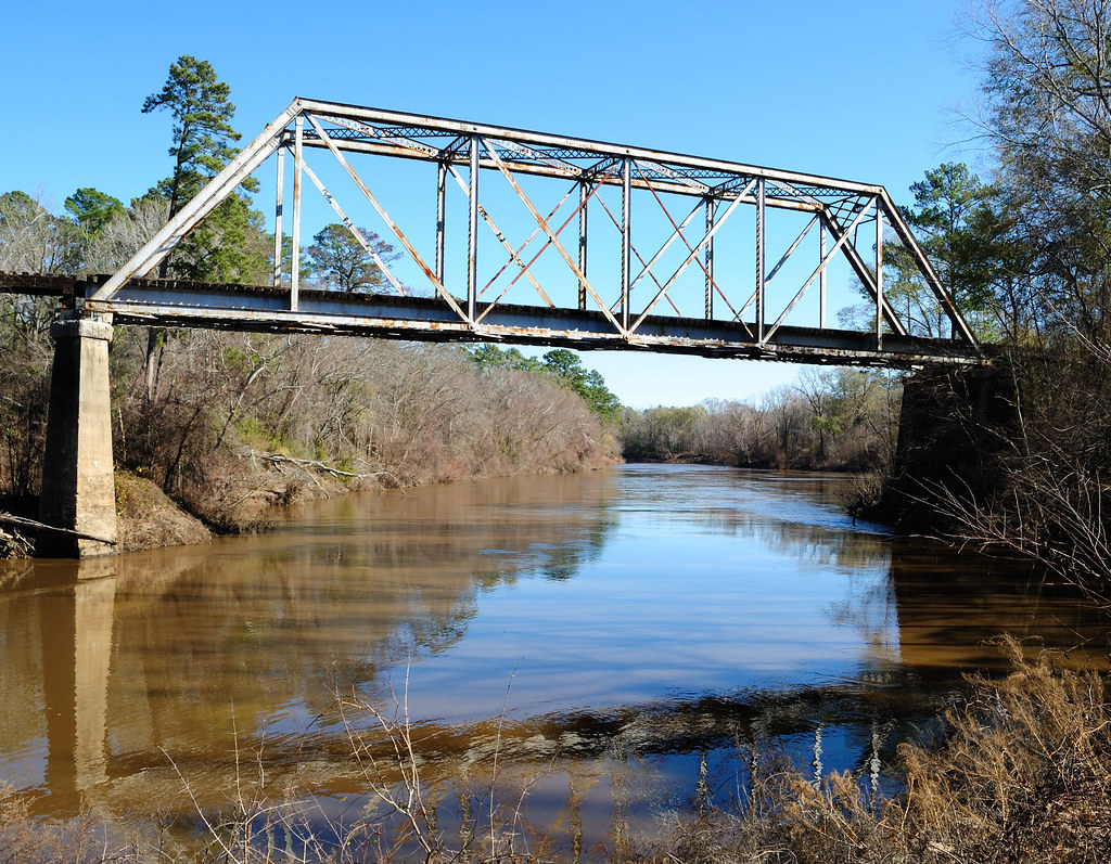
Neches River
Little Cypress Bayou
Lake Tyler
Lake Hawkins
Explore Texas waters
Top paddling waters
Popular Cities
Loading popular cities...
Explore near Ellison Creek Reservoir
Access points
Nearby waters
More in Texas

Smarter Paddling Starts in the App.
Paddleways gives you everything you need to plan smarter, paddle better, and own every trip from first launch to takeout.