Moses Lake
Moses Lake
- Boat Ramps
- 0
- Access Points
- 0
- Campsites
- 0
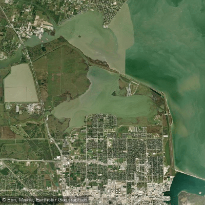
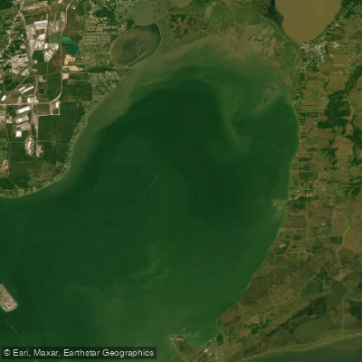
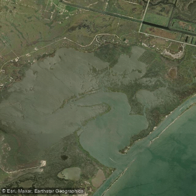
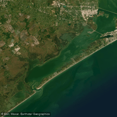
Moses Lake, located on the western end of Galveston Bay in northern Galveston County, Texas, offers a unique paddling experience for kayakers and canoeists. The lake stretches two miles wide and four miles long, with waters that ebb and flow with the tides through a small opening into Galveston Bay at Miller Point.
Access to the lake is available at two main points. On the north end, paddlers can launch near the floodgate along Skyline Drive, though caution is advised due to swift currents in the deep channel. The south end, more suitable for wade and kayak fishermen, can be accessed via 29th Street in Texas City, where paddlers can easily walk into the marsh or drag kayaks to the water.
The lake is characterized by shallow waters with a mud bottom, scattered shell, and small shell reefs. Marsh grasses line the shores, creating a haven for wildlife. Paddlers should be aware of the lake's tidal nature and the presence of a tidal control gate at Miller Point, which can affect water levels and currents.
For safety, all paddlers must carry a USCG-approved wearable PFD for each person, with children under 13 required to wear them at all times while underway. A sound-producing device, such as a whistle, is also mandatory. When paddling at night, a bright white light visible for at least two miles is required.
Moses Lake offers excellent fishing opportunities, with trout, redfish, and flounder abundant along the shorelines. The northwest corner features a deep hole reaching nearly 40 feet, surrounded by shell reefs that attract fish. Paddlers interested in fishing should be aware of seasonal patterns and popular techniques like using popping cork rigs.
The lake's protected shorelines provide shelter from gusty winds, making it an attractive destination year-round, especially during spring. However, paddlers should be prepared for potentially off-color water and strong winds, particularly in spring.
Historical significance adds to the lake's appeal, with its possible naming connection to Moses Austin and its role in flood control for Texas City since the 1950s. The lake's ecosystem supports diverse wildlife, including deer and waterfowl, offering nature enthusiasts plenty to observe during their paddling adventures.
Water access, boat ramps & amenities
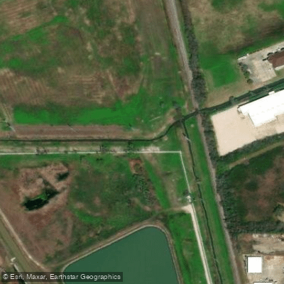
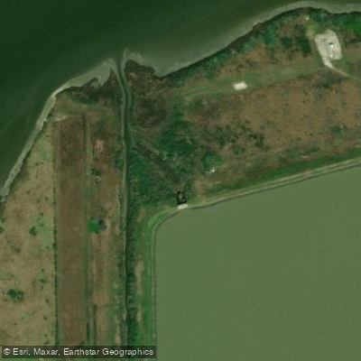
Learn how to get on Moses Lake. Uncover great paddling access points, boat ramps, and all the facilities you need for an unforgettable day on the water. Some locations shown may border or include private property. Always check property boundaries and applicable regulations before visiting. PaddleWays's Public & Private Land layer can help you plan your access with confidence.
Paddle smarter with real-time insights
Whether you're en route and conditions shift or you're looking for the best spot based on current flows, we enable you to make informed decisions on the fly.








Find Places to Paddle

Over 400,000 Places to Paddle
Every user gets free access to launch points, boat ramps, and public property parcels.


Water and weather conditions (10 day forecast)
See the best times to paddle Moses Lake and check the forecast before you go.
No forecast data available.
Paddling near Moses Lake


Explore Texas waters
Top paddling waters
Popular Cities
Loading popular cities...
Explore near Moses Lake

Smarter Paddling Starts in the App.
Paddleways gives you everything you need to plan smarter, paddle better, and own every trip from first launch to takeout.