Goose Island Passing Basin
- Saltwater
- Pass
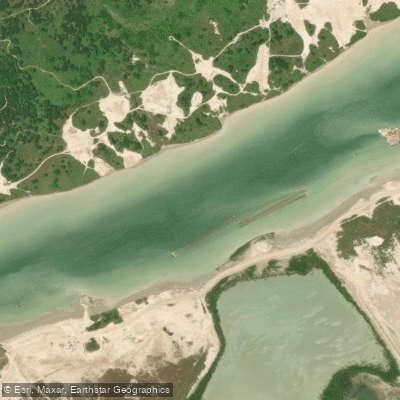
Goose Island Passing Basin
- Saltwater
- Pass
- Sq. miles
- 0.1
- Boat Ramps
- 0
- Access Points
- 0
- Campsites
- 1
Goose Island Passing Basin is a harbor feature located in the Brownsville Ship Channel complex in Cameron County, Texas. It is situated within the Laguna Madre bay system, as indicated by its proximity to other coastal features like Port Isabel Turning Basin and the Brownsville Fishing Harbor. The basin is charted on the USGS Palmito Hill topographic map. This is a working industrial waterway, as it is referenced in the context of U.S. Army Corps of Engineers projects to deepen and widen the Brownsville Channel for navigation. The channel was historically widened to 300 feet and deepened to 36 feet in this area. For paddlers, this establishes the primary character of the experience: it is part of a major, dredged commercial shipping channel. The key consideration is significant commercial boat traffic from the Port of Brownsville, including large ships and tugs. There are no specific public access points, facilities, or amenities for paddlers. Given its industrial nature and direct connection to open bays like the Laguna Madre, paddlers should expect substantial exposure to wind and fetch, which can quickly create hazardous wave conditions. Tidal currents will be a major factor, as the entire region is influenced by the tides of the Gulf of Mexico; paddlers must plan trips around tide stages to avoid fighting strong currents, particularly where the channel constricts. Crossing the main ship channel would be extremely dangerous and should be avoided. There is no information on water quality, seasonal water temperatures, recommended routes, or specific wildlife viewing opportunities for this location. Paddling here would be suitable only for very experienced kayakers with advanced safety knowledge of busy commercial ports, and a thorough check of local maritime regulations and charts is an absolute prerequisite.
Water access, boat ramps & amenities
Learn how to get on Goose Island Passing Basin. Uncover great paddling access points, boat ramps, and all the facilities you need for an unforgettable day on the water. Some locations shown may border or include private property. Always check property boundaries and applicable regulations before visiting. PaddleWays's Public & Private Land layer can help you plan your access with confidence.
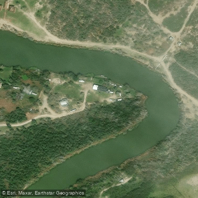
Paddle smarter with real-time insights
Whether you're en route and conditions shift or you're looking for the best spot based on current flows, we enable you to make informed decisions on the fly.








Find Places to Paddle

Over 400,000 Places to Paddle
Every user gets free access to launch points, boat ramps, and public property parcels.


Tides, wind & water conditions (10 day forecast)
On open water, wind and tide matter as much as the weather. See the best times to paddle Goose Island Passing Basin and check the marine forecast before you launch.
Loading tide predictions…
Paddling near Goose Island Passing Basin

Rio Grande
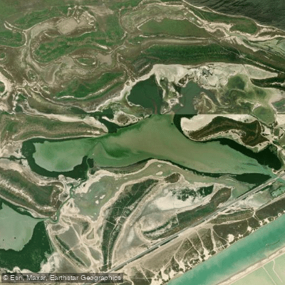
San Martin Lake
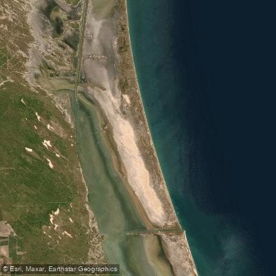
Laguna Madre
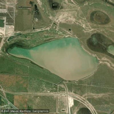
Loma Alta Lake
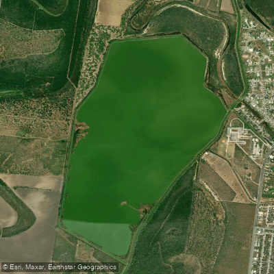
Resaca de La Palma Reservoir
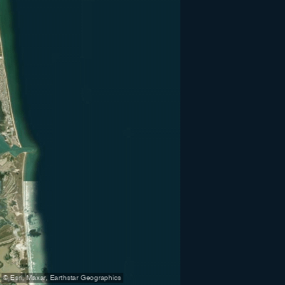
Brazos Santiago Pass
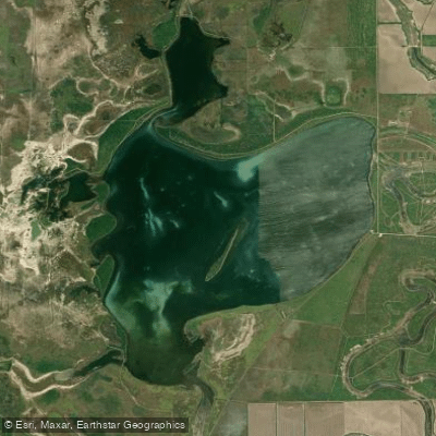
Laguna Atascosa
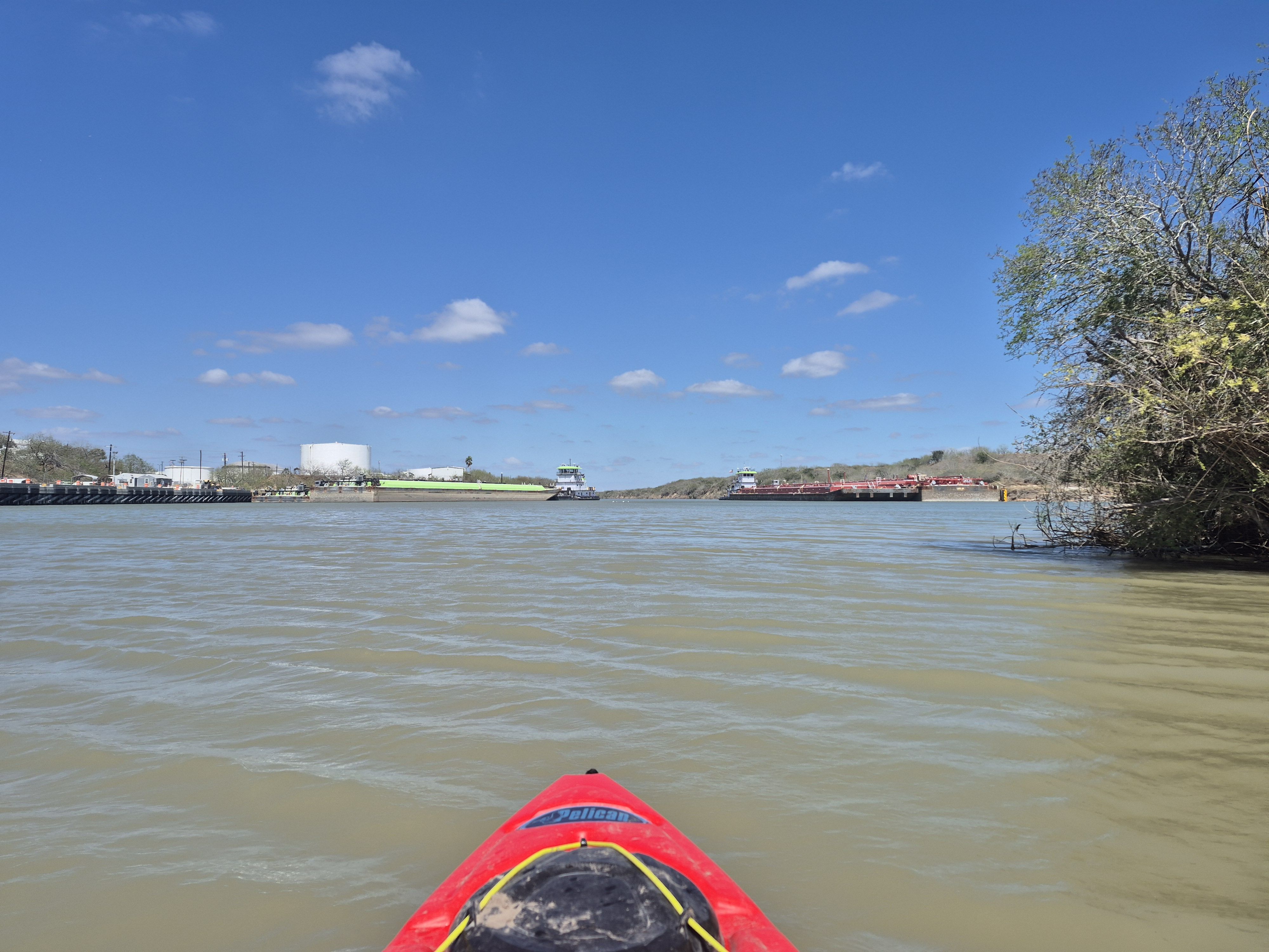
Arroyo Colorado
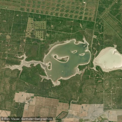
La Sal Vieja
Explore Texas waters
Top paddling waters
Popular Cities
Loading popular cities...
Explore near Goose Island Passing Basin

Smarter Paddling Starts in the App.
Paddleways gives you everything you need to plan smarter, paddle better, and own every trip from first launch to takeout.