Lake Fork Creek
- River
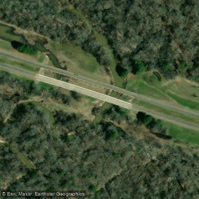
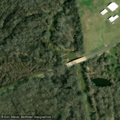
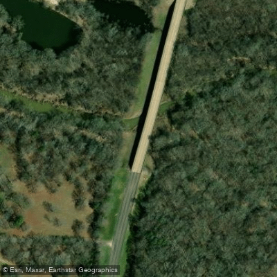
- 3 hazards marked

- River
- 3 hazards marked
- River length
- 78.4 mi
- Hazards marked
- 3
- Public shoreline
- 0%
Lake Fork Creek is a significant tributary that forms part of the Lake Fork Reservoir system in East Texas. The creek originates in the northeastern part of the state and flows southwestward, eventually draining into Lake Fork Reservoir. This waterway, along with its tributaries like Birch Creek, Caney Creek, and Johnson Camp Creek, forms the distinctive V shape of Lake Fork.
The creek offers flatwater paddling opportunities suitable for kayakers and small boat users. Several sections are popular among paddlers, including the Lake Fork Creek Arm, Birch Creek, and the Highway 19 Section. The difficulty level is generally easy, making it accessible for beginners, though paddlers should be aware of potential boat traffic, especially during peak fishing seasons.
Lake Fork Creek is best paddled year-round, with water levels maintained by the Lake Fork Reservoir. However, spring and fall may offer more comfortable temperatures and scenic views of the changing East Texas landscape.
The surrounding ecosystem is rich with East Texas woodlands and wetlands, providing habitat for various wildlife. The area is particularly renowned for its trophy bass population, making it a prime destination for anglers.
Key landmarks include the FM 2946 bridge, which crosses the creek and offers multiple access points, and the intersection with Johnson Camp Creek, forming a large cove. The creek's journey through Lake Fork Reservoir, with its 315 miles of shoreline, creates numerous coves, inlets, and fishing spots.
Primary access points include the FM 17 Public Boat Ramp, located at the west end of the FM 515 bridge, and the Lake Fork Hwy 19 Boat Ramp. These are conveniently situated near small towns in the region, providing easy access for locals and visitors.
Historically, the creation of Lake Fork Reservoir in the 1980s transformed the creek into part of a larger water system, significantly impacting the local ecology and economy. Today, it plays a crucial role in the area's recreational offerings and water management.
Safety considerations include being aware of water level fluctuations and boat traffic. Paddlers should check current conditions and be mindful of fishing activities, especially during tournaments. While multi-day trips on Lake Fork Creek itself are limited due to its incorporation into the reservoir, the broader Lake Fork system offers extended paddling and camping opportunities for those looking to explore the area more thoroughly.
Hazards
Hazards on Lake Fork Creek
No paddler has reported a hazard here yet, so these are the dams, falls and big rapids on our map. Hazards change with flows and storms, so check them before you launch.
Lake Fork Dam
From our mapDam
Upper Lake Fork Creek WS SCS Site 1 Dam
From our mapDam
Upper Lake Fork Creek WS SCS Site 8b Dam
From our mapDam
From the community
Lake Fork Creek trip reports
Nobody has shared a trip on Lake Fork Creek yet. Paddle it, then tell the next paddler how it went.
Water access & public shoreline
See exactly where the public can get on and off the river. Launch points and boat ramps are paired with PaddleWays' public land data so you know where you can legally land.
Public shoreline
0%of the river's shoreline is public
- Public
- 0%
- Private
- 100%
Most of the riverbank is private. Launch, land and camp only at public access points.
Flows & paddling conditions (10 day forecast)
Flows and weather, so you know what to expect on Lake Fork Creek today.
Lake Fk Ck nr Quitman, TX
Paddle smarter with real-time insights
Live flows, marked hazards and fresh trip reports from paddlers who were just on the water, all in one place.







Find Places to Paddle

Over 400,000 Places to Paddle
Every user gets free access to launch points, boat ramps, and public property parcels.



Paddling near Lake Fork Creek
Lake Tawakoni
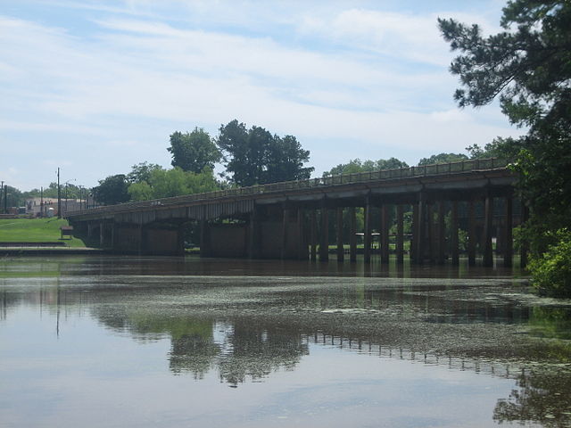
Sabine River
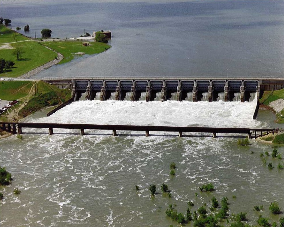
Lavon Lake
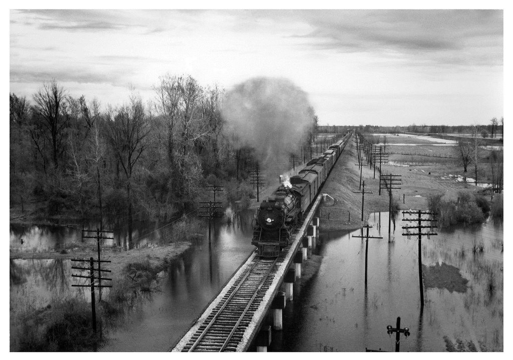
Red River
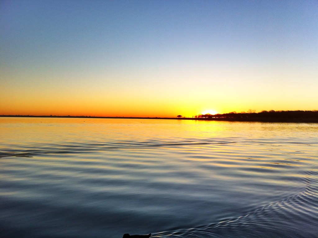
Lake Lewisville
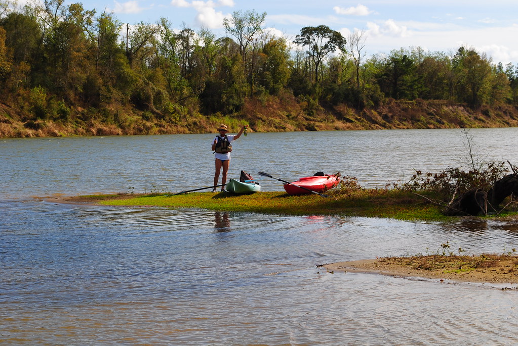
Trinity River
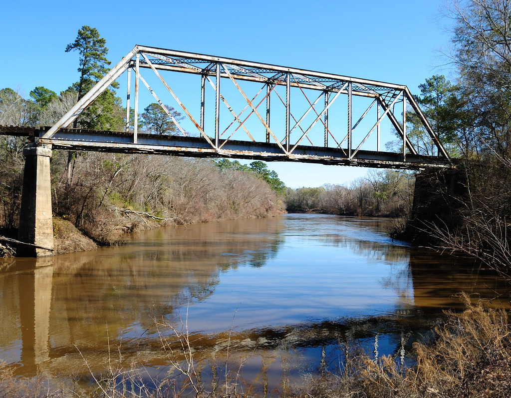
Neches River
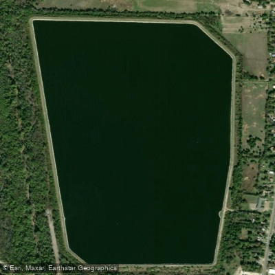
Greenville Reservoir Number Five
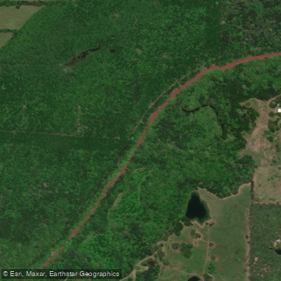
South Sulphur River
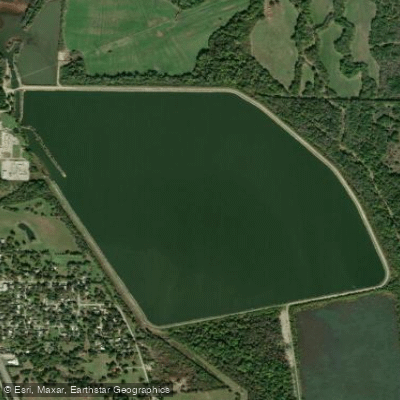
Greenville Reservoir Number Six
Explore near Lake Fork Creek
Access points
Nearby waters
More in Texas
Smarter Paddling Starts in the App.
PaddleWays gives you everything you need to plan smarter, paddle better, and own every trip from first launch to takeout.